Plizio Visual Lab
Yaté
ℹ️Practical info — Yaté
▾
🌤 Weather — 5 days
📍 Nearby
Sights nearby
💡 Tips
- The drive from Nouméa involves a winding mountain pass with spectacular views; drive carefully.
- Pack plenty of water and snacks, as shops are very scarce in the deep south.
- The soil is rich in laterite, which will stain your shoes red-don't wear white when hiking!
- Check access to the Blue River Provincial Park in advance, as heavy rains can wash out or close the roads.
🍽 Food
Served in small rural guesthouses (tables d'hôtes) around the municipality.
Available at tribal homestays along the coast.
Staple root vegetables served with traditional meals in the villages.
🛍 Shopping · 🧘 Quiet spots
Keep an eye out for local Kanak artisans selling crafts directly from their homes.
Occasionally sold directly by local growers in the eastern valleys.
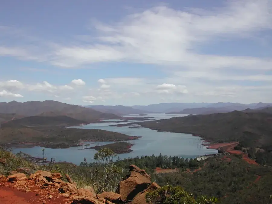
A massive structure offering panoramic views of the beautiful artificial lake.
Located in the Blue River Provincial Park, this spot is incredibly eerie and silent.
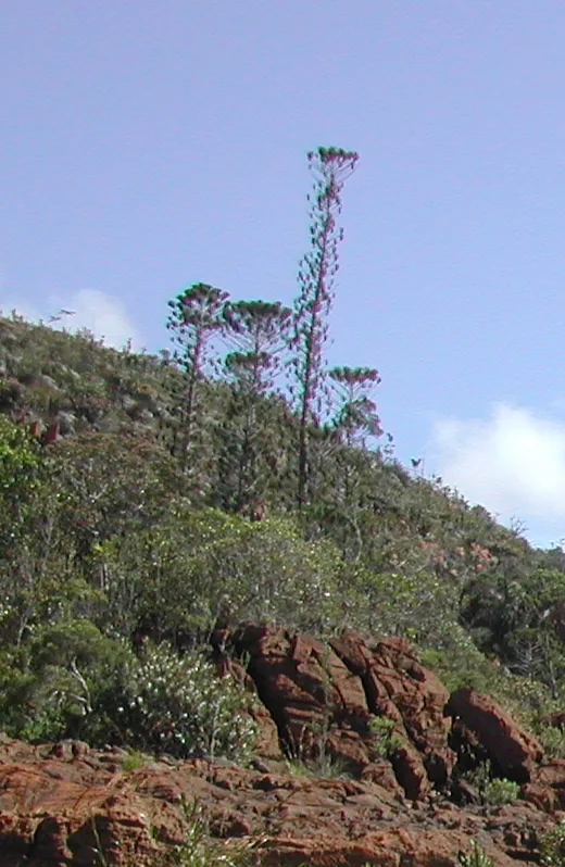
A beautiful, tranquil botanical reserve surrounded by unique local flora.
Water temperature…
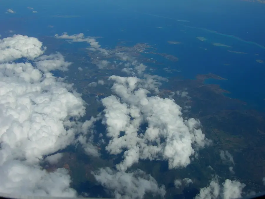
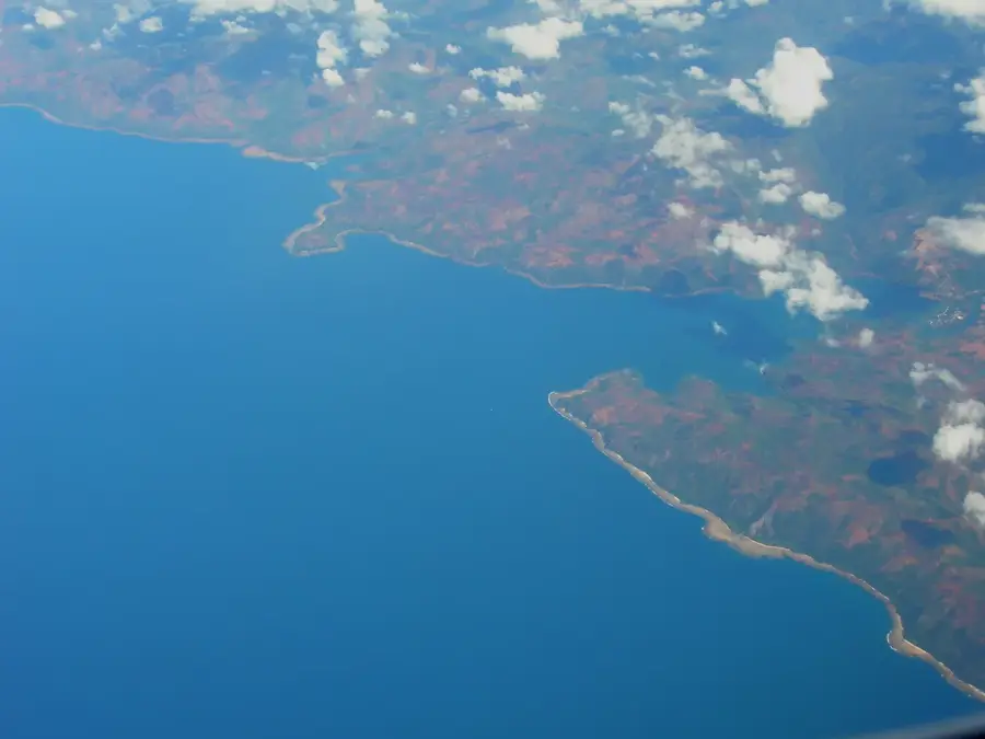
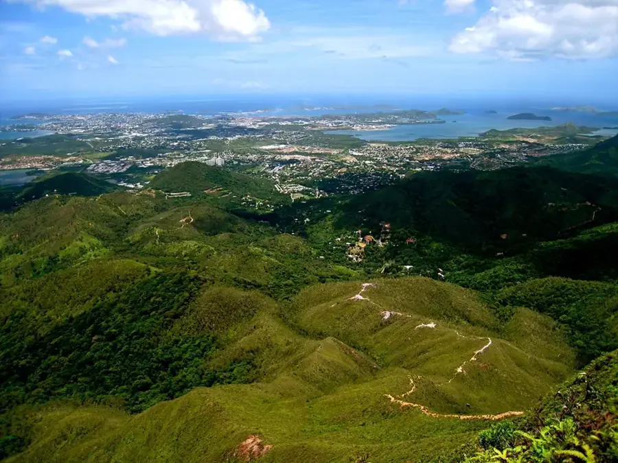
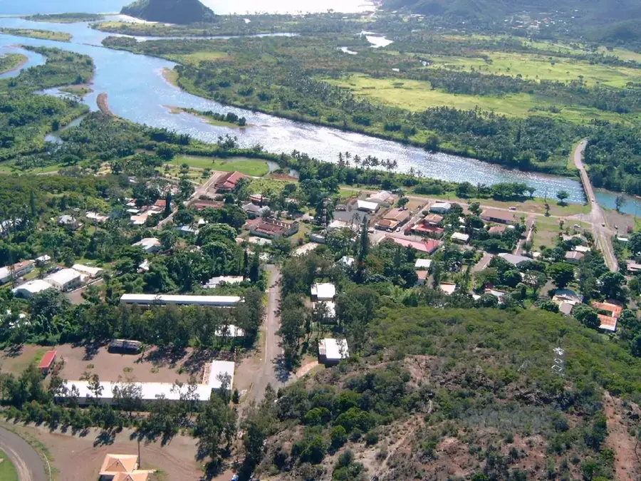
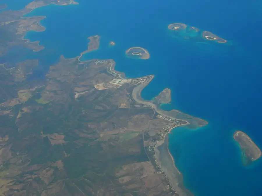
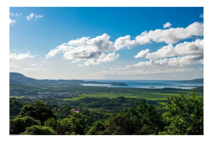
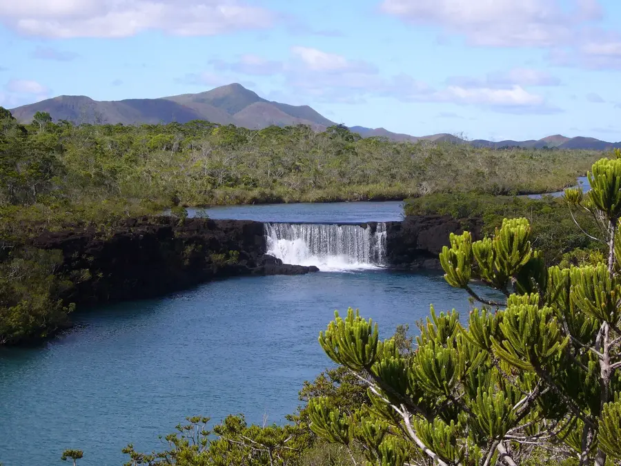
Yaté is an expansive commune in the southeast of Grande Terre, distinguished by its rugged terrain and industrial significance. The region's most prominent landmark is the Yaté Dam (Barrage de Yaté), completed in 1959, which impounds a massive reservoir and generates the bulk of the hydroelectric power needed for Nouméa and the nickel industry. The landscape is marked by the vivid red laterite soil typical of the 'Grand Sud' region, creating a striking contrast with the lush greenery. Nearby lies the Blue River National Park (Parc de la Rivière Bleue), a premier nature reserve that serves as a sanctuary for the endemic Kagu bird. Yaté is also a vital cultural hub for the indigenous Kanak people, who maintain strong ties to their ancestral lands and customs. For visitors, the area features exceptional outdoor recreation, including kayaking on the submerged forest of the lake, hiking through ancient fern valleys, and exploring the unique biodiversity of New Caledonia's southern tip.
- Location: New Caledonia
- Top sights: Réserve Spéciale Botanique du Barrage de Yaté · Point de Vue de Yaté · Vue sur la cascade
- Nearby: Yaté (4 km)
- Population: ~1.871 (2025)
Best time to visit & climate
The most pleasant time to visit is Jul–Sep.
| Jan | Feb | Mar | Apr | May | Jun | Jul | Aug | Sep | Oct | Nov | Dec | |
|---|---|---|---|---|---|---|---|---|---|---|---|---|
| Avg °C | 26 | 27 | 26 | 25 | 23 | 22 | 21 | 21 | 22 | 23 | 24 | 25 |
| Rain mm | 140 | 127 | 191 | 125 | 103 | 84 | 71 | 68 | 49 | 57 | 69 | 93 |
Geography
Facts
- The commune covers a land area of 1,338 square kilometers.
- The Yaté Dam was completed in the year 1959.
- The dam wall is 45 meters high and 641 meters long.
- Blue River Park is home to the famous 'Grand Kaori' tree.
- Yaté is the least densely populated commune on Grande Terre.
- The region is an important center for the Numèè Kanak language.
Explore nearby
Notable places around
Route planner — Car & Motorhome
Where do you start? We build the route here, with stops and country notes along the way.
© OpenStreetMap contributors · OpenRouteService
Sights in the town Yaté (3)
Frequently asked questions
What is special about the nature around Yaté?
Is hiking in Yaté challenging?
Are there restrooms in the parks near Yaté?
Should I be aware of weather risks in Yaté?
Are there dining options near Yaté nature areas?
Yaté: where is it located?
Yaté: what is there to see?
Yaté: when is the best time to visit?
Yaté: why is it worth visiting?

Nearby cities


History & landmarks
Nature

More places