Plizio Visual Lab
Mont Nékandi
Weather…
Water temperature…
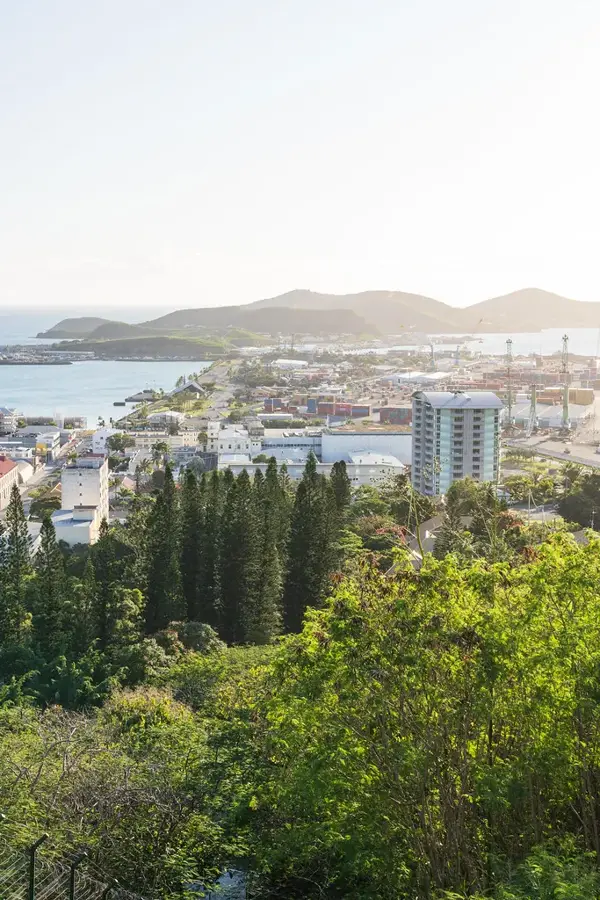
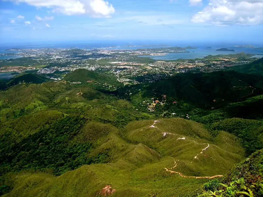
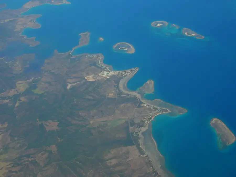
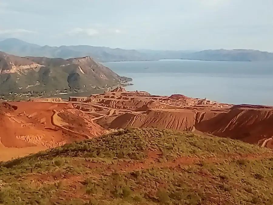
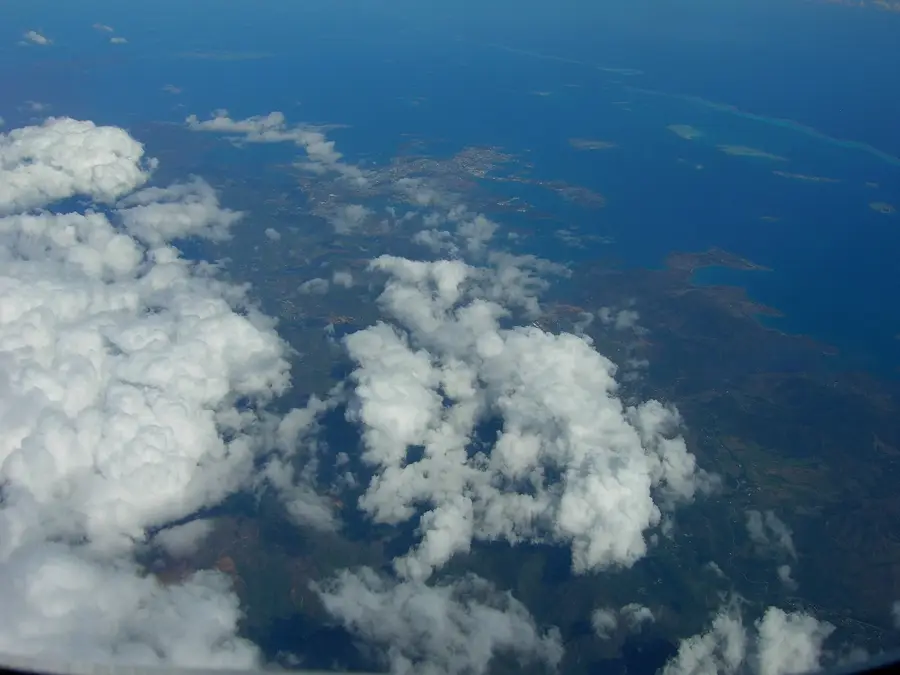
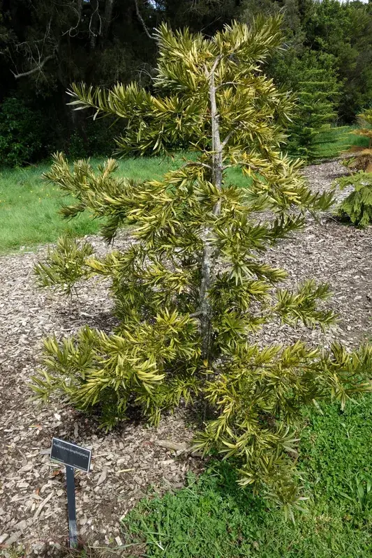
Mont Nékandi is a striking elevation in the southeastern quadrant of New Caledonia, soaring to a height of 1,220 meters. This isolated mountain ridge serves as a dominant feature of the hinterland's landscape, characterized by its sharp silhouette and rugged geological formation. The terrain is notably hard and stony, with surfaces composed of ancient rock that support only a sparse and resilient range of vegetation adapted to the harsh mountain elements. Unlike the more accessible coastal areas, Mont Nékandi remains a little-explored frontier for hikers and outdoor enthusiasts, offering a sense of true isolation and discovery. There are no established trails, requiring visitors to navigate the steep, rocky slopes with skill and caution. The summit area provides an unparalleled panoramic view of the island's southeastern coast and the surrounding wild territories. Its remote location and challenging environment have ensured that Mont Nékandi remains a sanctuary of silence, far removed from the modern world and its developments.
- Location: New Caledonia
- Nearby: Thio (11 km)
📋 Practical info
Geography
Facts
- Max elevation is 1,320 meters.
- Located in the South Province near Thio.
- Dominant ultramafic rock layers.
- Significant nickel ore deposits present.
- Steep erosion gullies on the slopes.
- Habitat for endemic lizard species.
Explore nearby
Notable places around
Route planner — Car & Motorhome
Where do you start? We build the route here, with stops and country notes along the way.
© OpenStreetMap contributors · OpenRouteService
Sights nearby
Frequently asked questions
Is Mont Nékandi developed for tourism?
How long does the ascent take?
Is there unique flora?
Is the route dangerous?
What should you bring?
Mont Nékandi: where is it located?
Mont Nékandi: why is it worth visiting?

Nearby cities