Plizio Visual Lab
Mont Tandji

Weather…
Water temperature…
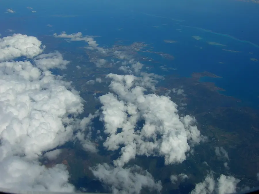
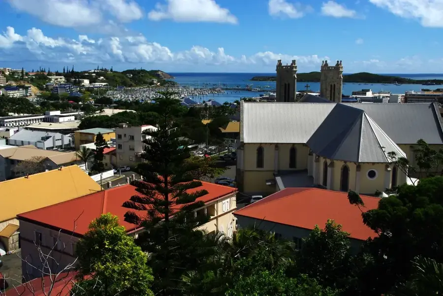
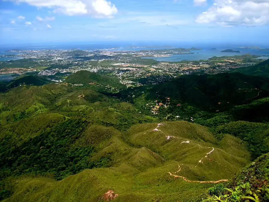
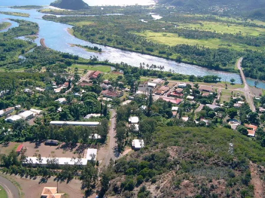
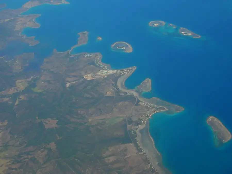
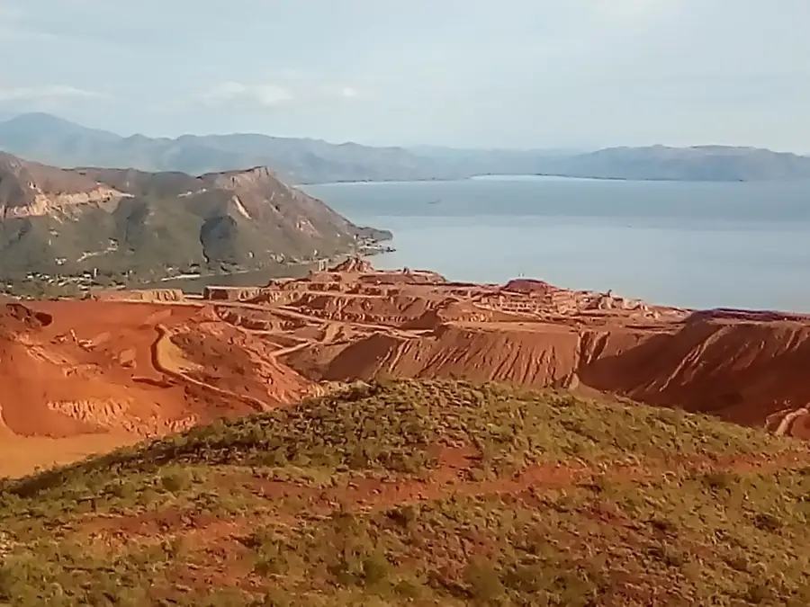
Mont Tandji is a prominent mountain peak on the main island of Grande Terre in New Caledonia, reaching an elevation of approximately 1,000 meters. Its most notable characteristic is its strategic proximity to La Tontouta International Airport, the country's primary gateway. For decades, the mountain's striking silhouette has served as a critical visual reference point for pilots performing approach maneuvers toward the airport runways. Geologically, the mountain is composed of ultramafic rocks, which are typical of the mineral-rich massifs found throughout the archipelago. The vegetation transitions from dense maquis shrubland at the base to sparse, specialized flora at the summit due to the rocky soil. While it is not a major hiking destination, its role in aviation safety and its visual dominance over the coastal plains of the Tontouta Valley make it a significant geographic feature of the region.
- Location: New Caledonia
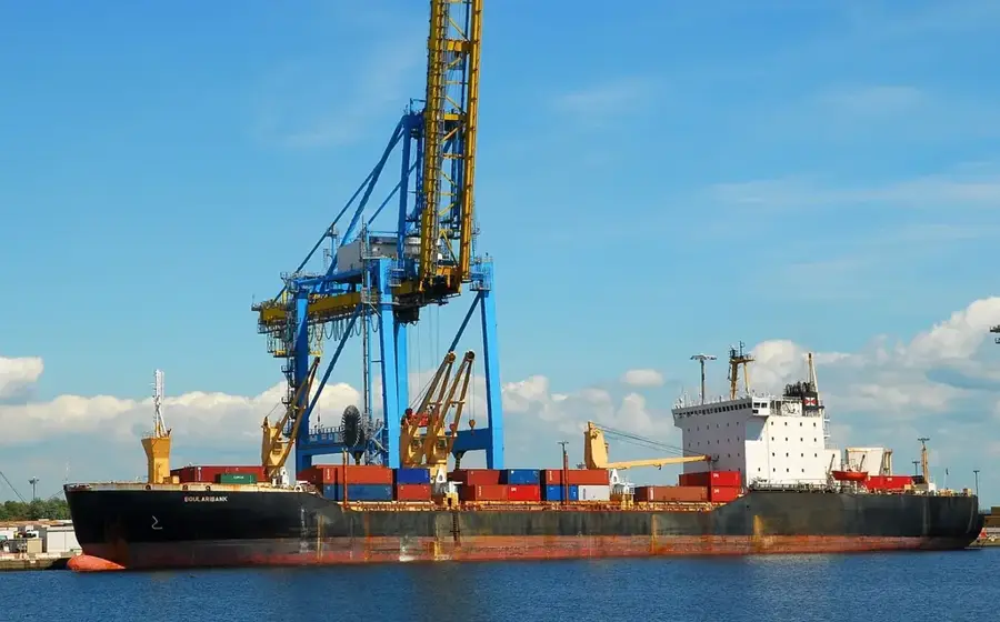
- Nearby: La Tontouta (11 km)
Best time to visit & climate
The most pleasant time to visit is Jun, Sep, Oct.
| Jan | Feb | Mar | Apr | May | Jun | Jul | Aug | Sep | Oct | Nov | Dec | |
|---|---|---|---|---|---|---|---|---|---|---|---|---|
| Avg °C | 26 | 26 | 25 | 24 | 22 | 21 | 20 | 20 | 21 | 22 | 23 | 25 |
| Rain mm | 124 | 122 | 171 | 105 | 91 | 75 | 63 | 61 | 41 | 45 | 57 | 87 |
📋 Practical info
Geography
Facts
- Elevation stands at 1,056 meters.
- Boulouparis municipality, South Province.
- Part of the Grande Terre watershed.
- Significant nickel finds in the 20th century.
- Occurrence of rare birds of prey.
- Threatened by invasive animal species.
Explore nearby
Notable places around
Route planner — Car & Motorhome
Where do you start? We build the route here, with stops and country notes along the way.
© OpenStreetMap contributors · OpenRouteService
Sights nearby
Frequently asked questions
Is Mont Tandji a hidden gem?
What is the trail to the peak like?
Are there water sources?
Is the hike doable in a day?
What is special about it?
Mont Tandji: where is it located?
Mont Tandji: when is the best time to visit?
Mont Tandji: why is it worth visiting?

Nearby cities


History & landmarks
More places