Plizio Visual Lab
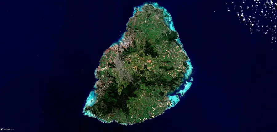
Pieter Both Mountain
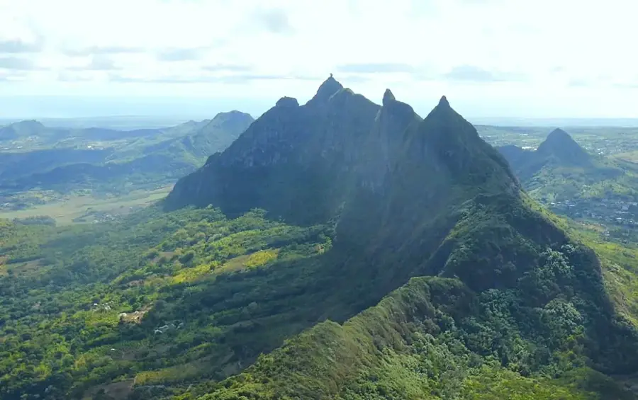
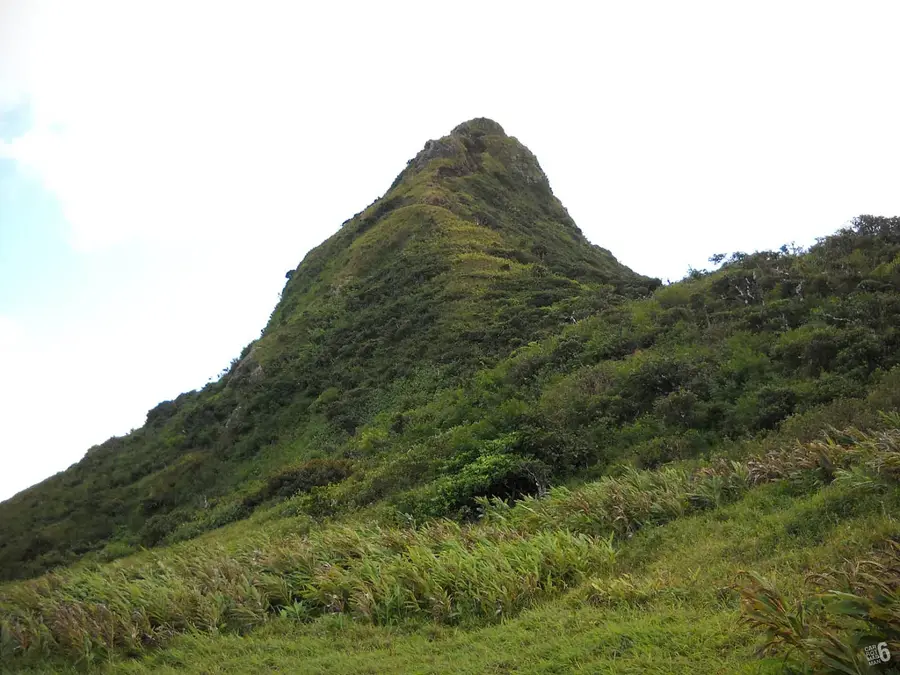
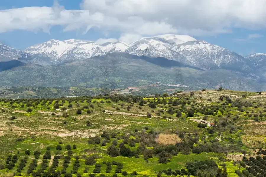
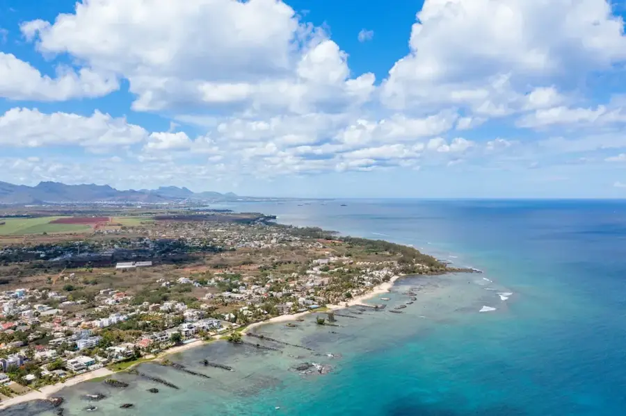
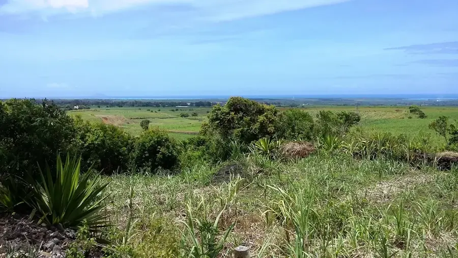
Pieter Both is the second highest mountain in Mauritius at 820 meters and one of the island's most iconic landmarks. Part of the Moka mountain range in the north, it is named after the first Governor-General of the Dutch East Indies, who perished in a shipwreck off the coast in 1615. The mountain's defining feature is the massive, nearly spherical rock formation at its peak, which resembles a human head and appears to balance precariously. This formation resulted from millions of years of erosion wearing away the softer surrounding rock. Climbing it is considered challenging and often requires mountaineering equipment, especially to reach the very top rock. Numerous legends in local folklore surround the stone, including the story of a milkman who encountered a supernatural being. Protection of the surrounding vegetation is essential for preserving rare endemic plant species found on its slopes.
- Location: Mauritius
- Top sights: Pieter Both · Creve Coeur · Grand Peak
- Nearby: Petit Verger (4 km)
Best time to visit & climate
The most pleasant time to visit is Jul–Sep.
| Jan | Feb | Mar | Apr | May | Jun | Jul | Aug | Sep | Oct | Nov | Dec | |
|---|---|---|---|---|---|---|---|---|---|---|---|---|
| Avg °C | 27 | 28 | 27 | 27 | 25 | 24 | 23 | 23 | 23 | 24 | 25 | 26 |
| Rain mm | 128 | 116 | 122 | 67 | 41 | 29 | 26 | 21 | 24 | 29 | 29 | 44 |
📋 Practical info
Geography
Facts
- Second highest mountain in Mauritius at 820 meters
- Named after Pieter Both, Governor-General of the Dutch East Indies
- The summit rock resembles a balancing human head
- Part of the Moka mountain range in the northern region
- First documented successful ascent took place in 1832
- Famous for the 'Legend of the Milkman' in local folklore
Explore nearby
Notable places around
Route planner — Car & Motorhome
Where do you start? We build the route here, with stops and country notes along the way.
© OpenStreetMap contributors · OpenRouteService
Sights in the town Pieter Both Mountain (5)
Grand Peak
Grand Peak is a mountain peak in Mauritius, part of the Pieter Both mountain range.
Sights nearby
Frequently asked questions
Can you climb the peak?
What is special about the mountain?
Is it a protected area?
Are there hiking trails on the mountain?
What is the best way to photograph it?
Pieter Both Mountain: where is it located?
Pieter Both Mountain: what is there to see?
Pieter Both Mountain: when is the best time to visit?
Pieter Both Mountain: why is it worth visiting?

Nearby cities


History & landmarks
More places