Plizio Visual Lab
Le Pouce Mountain
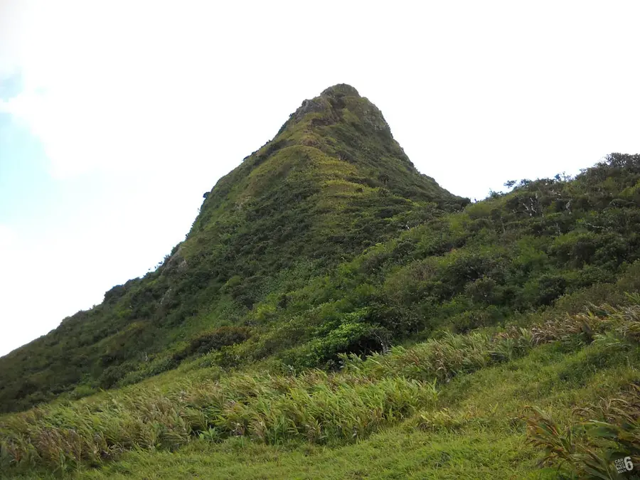
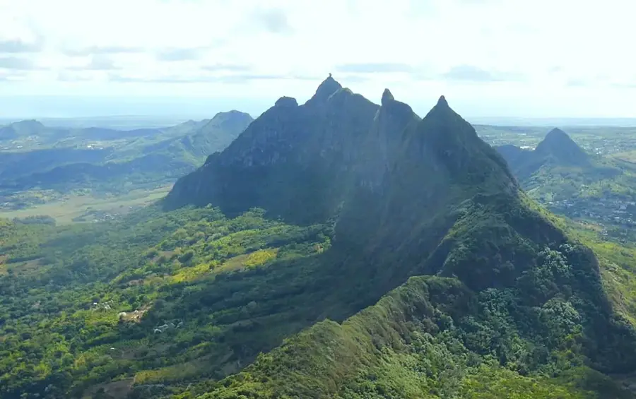
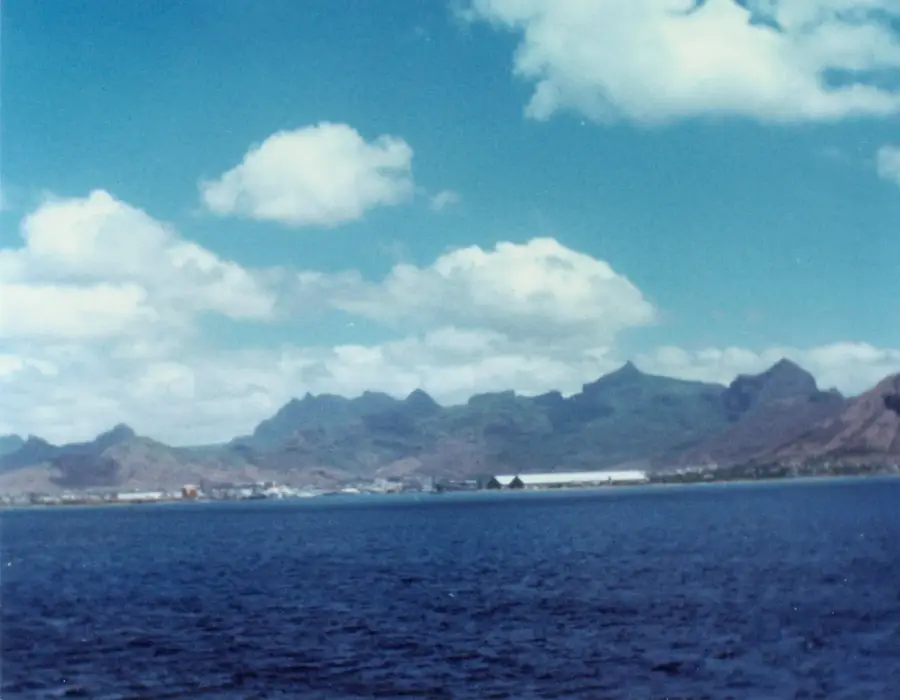
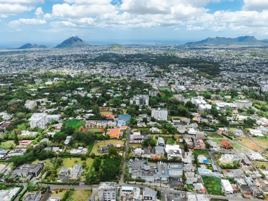
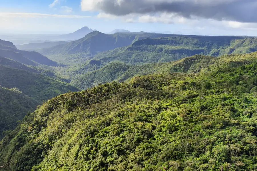
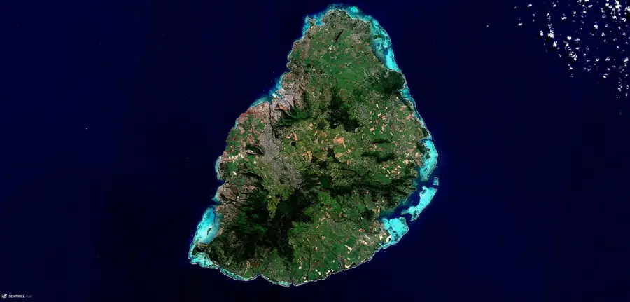
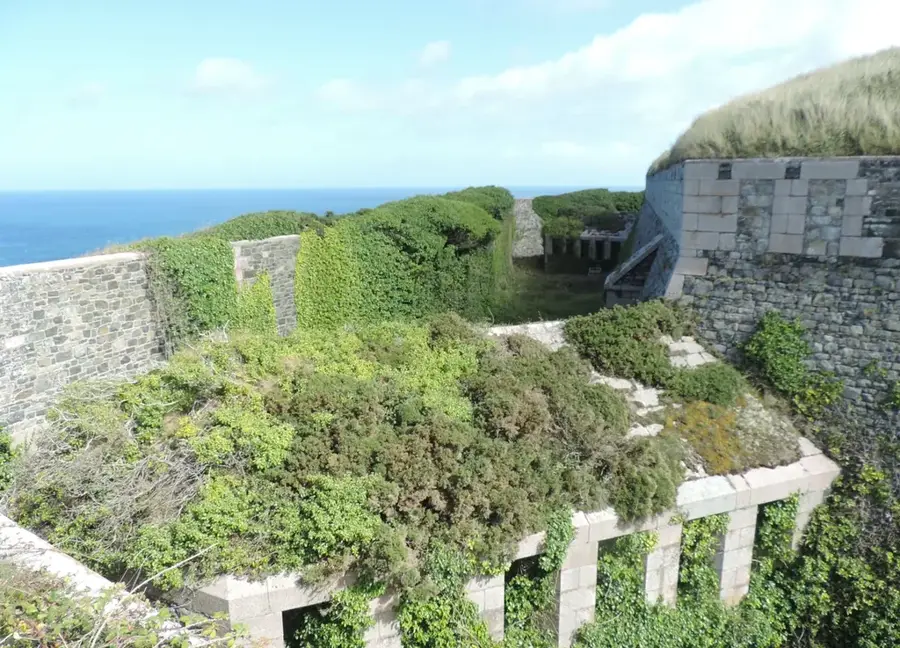
Le Pouce, which means 'the thumb' in French, is the third highest mountain in Mauritius, standing at 812 meters. It belongs to the Moka mountain range and owes its name to its distinctive shape, which resembles a thumb pointing upwards. The mountain is situated directly behind the capital city, Port Louis, offering one of the best panoramic views of the city, the harbor, and the surrounding plains. Geologically, it consists of volcanic formations created during the second phase of the island's formation. Historically, the mountain is famous for being climbed by Charles Darwin on May 2, 1836, during his voyage on the HMS Beagle. The hiking trail to the summit is considered moderate and is one of the most popular on the island due to its relative accessibility. The peak is very narrow, providing space for only a few people at a time. The slopes are home to various endemic plant species typical of the higher reaches of the Moka range.
- Location: Mauritius
- Top sights: Le Pouce · Guiby Peak · Grand Peak
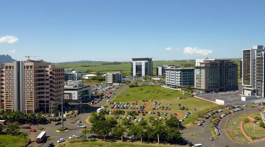
- Nearby: Pailles (5 km)
Best time to visit & climate
The most pleasant time to visit is Jul–Sep.
| Jan | Feb | Mar | Apr | May | Jun | Jul | Aug | Sep | Oct | Nov | Dec | |
|---|---|---|---|---|---|---|---|---|---|---|---|---|
| Avg °C | 27 | 28 | 27 | 27 | 25 | 24 | 23 | 23 | 23 | 24 | 25 | 26 |
| Rain mm | 128 | 116 | 122 | 67 | 41 | 29 | 26 | 21 | 24 | 29 | 29 | 44 |
📋 Practical info
Geography
Facts
- Third highest mountain in Mauritius at 812 meters
- The name translates to 'The Thumb' due to its unique shape
- Famous scientist Charles Darwin climbed the mountain in 1836
- Offers a full 360-degree view of Port Louis and the harbor
- Part of the Moka mountain range in the central island area
- The peak is of volcanic origin from the second eruption phase
Explore nearby
Notable places around
Route planner — Car & Motorhome
Where do you start? We build the route here, with stops and country notes along the way.
© OpenStreetMap contributors · OpenRouteService
Sights in the town Le Pouce Mountain (3)
Grand Peak
Grand Peak is a mountain peak in Mauritius, part of the Le Pouce mountain range.
Sights nearby
Frequently asked questions
How difficult is the hike?
How long does the climb take?
What can you see from the peak?
Is it safe?
Is there parking at the start point?
Le Pouce Mountain: where is it located?
Le Pouce Mountain: what is there to see?
Le Pouce Mountain: when is the best time to visit?
Le Pouce Mountain: why is it worth visiting?

Nearby cities


History & landmarks
Nature
More places