Plizio Visual Lab
Dubreuil
ℹ️Practical info — Dubreuil
▾
🌤 Weather — 5 days
📍 Nearby
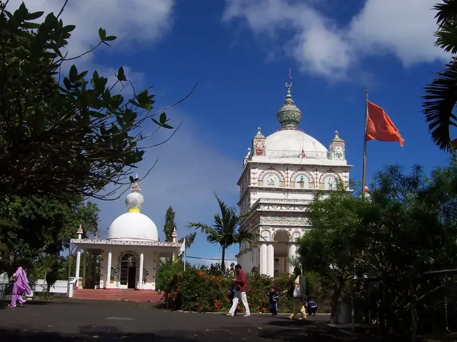
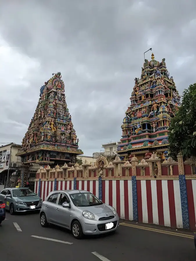
Sights nearby
💡 Tips
- Since it's one of the rainiest areas, waterproof shoes and a good raincoat are essential.
- Public transport is very limited here; renting a car is the most reliable way to reach and explore the village.
- Drive carefully on the narrow mountain roads, as you will likely share them with slow-moving agricultural vehicles.
- The lush, misty environment is well-suited for off-the-beaten-path photography.
🍽 Food
Buy seasonal tropical fruits directly from small roadside farm stands.
Grab this Mauritian flatbread filled with curry from a small village snack shop.
A local delicacy that is often harvested in the surrounding plantation areas.
🛍 Shopping · 🧘 Quiet spots
Purchase vegetables and greens directly from the local growers.
Visit the traditional village shop for basic snacks, local spices, and a glimpse into daily life.
The misty fields surrounding the village offer a tranquil and atmospheric walking experience.
Wander along the quiet dirt roads between farms for complete silence.
Water temperature…
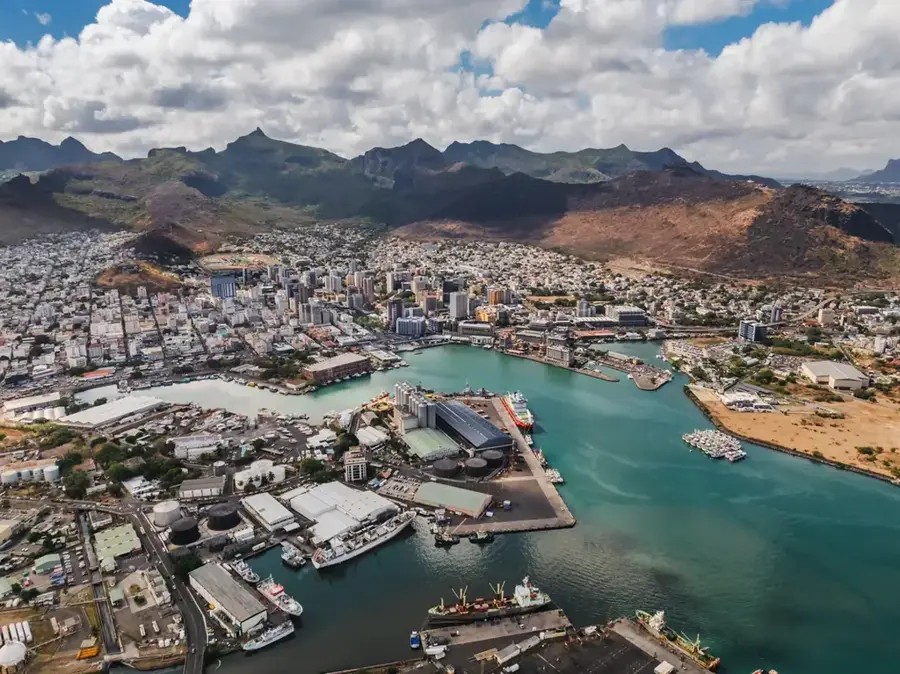
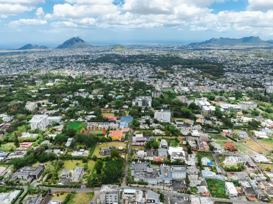
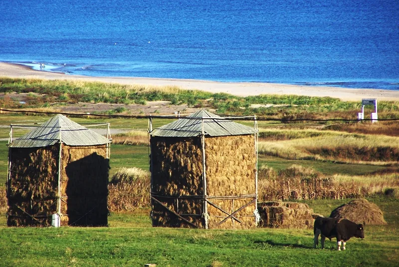
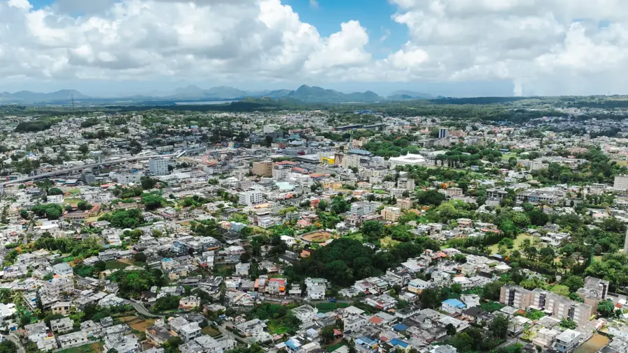
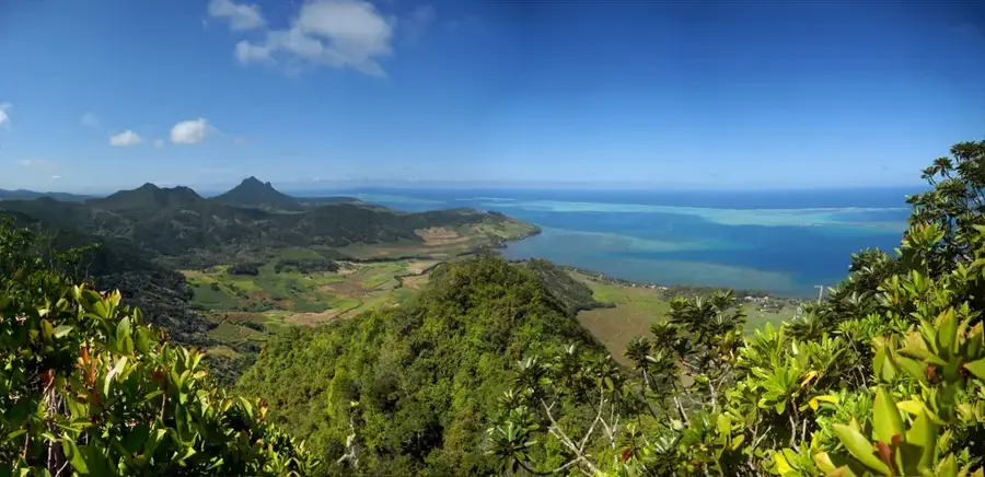
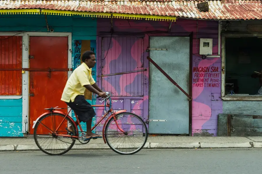
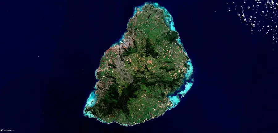
Dubreuil is a quaint mountain village situated on the central plateau of Mauritius, far removed from the bustling seaside resorts. It is widely recognized as one of the rainiest places on the island, a climatic feature that has made it a premier location for tea cultivation. The undulating green tea fields surrounding the village define its scenic landscape and provide employment for much of the local population of about 3,000 residents. The village has a serene, isolated quality, with mist often rolling over the hills, creating a mystical and tranquil atmosphere. For those looking to explore the Mauritian interior, Dubreuil has a cool retreat and a chance to experience the island's authentic rural heritage. The area is dotted with small streams and lush vegetation, making it a favorite spot for nature lovers and hikers. Its proximity to the Midlands Dam and various forest reserves further enhances its appeal as a base for ecological exploration, where one can appreciate the island's diverse flora and the quiet rhythms of highland life.
- Location: Mauritius
- Nearby: La Flora (5 km)
- Population: ~2.726 (2015)
Best time to visit & climate
The most pleasant time to visit is Jul–Sep.
| Jan | Feb | Mar | Apr | May | Jun | Jul | Aug | Sep | Oct | Nov | Dec | |
|---|---|---|---|---|---|---|---|---|---|---|---|---|
| Avg °C | 27 | 27 | 27 | 26 | 25 | 23 | 22 | 22 | 23 | 24 | 25 | 26 |
| Rain mm | 127 | 113 | 124 | 79 | 47 | 32 | 28 | 26 | 29 | 31 | 34 | 48 |
Geography
Facts
- Situated at an average altitude of approximately 400 meters
- Belongs to the inland district of Moka
- Located in close proximity to the Midlands Dam, completed in 2002
- The region records some of the highest annual rainfall on the island
- The population stands at approximately 2,800 inhabitants
- Agriculture, mainly sugarcane and vegetables, is the primary economic activity
Explore nearby
Notable places around
Route planner — Car & Motorhome
Where do you start? We build the route here, with stops and country notes along the way.
© OpenStreetMap contributors · OpenRouteService
Sights in the town Dubreuil (1)
Frequently asked questions
What is the character of Dubreuil?
Are there sights?
Is the environment safe?
How to get there?
What is the best travel time?
Dubreuil: where is it located?
Dubreuil: when is the best time to visit?
Dubreuil: why is it worth visiting?

Nearby cities