Plizio Visual Lab
Guidimaka Plateau
Weather…
Water temperature…
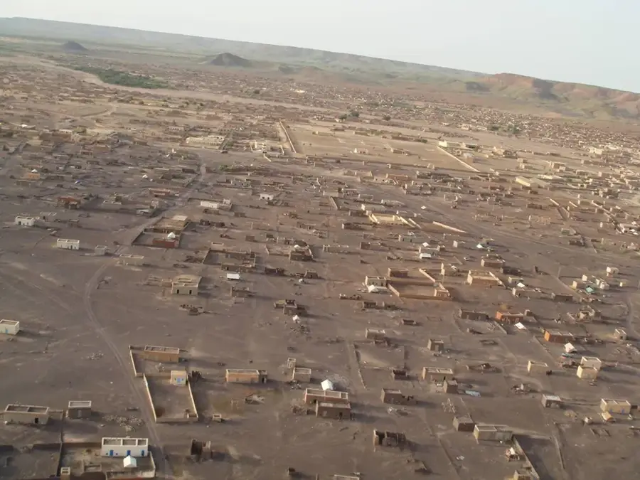
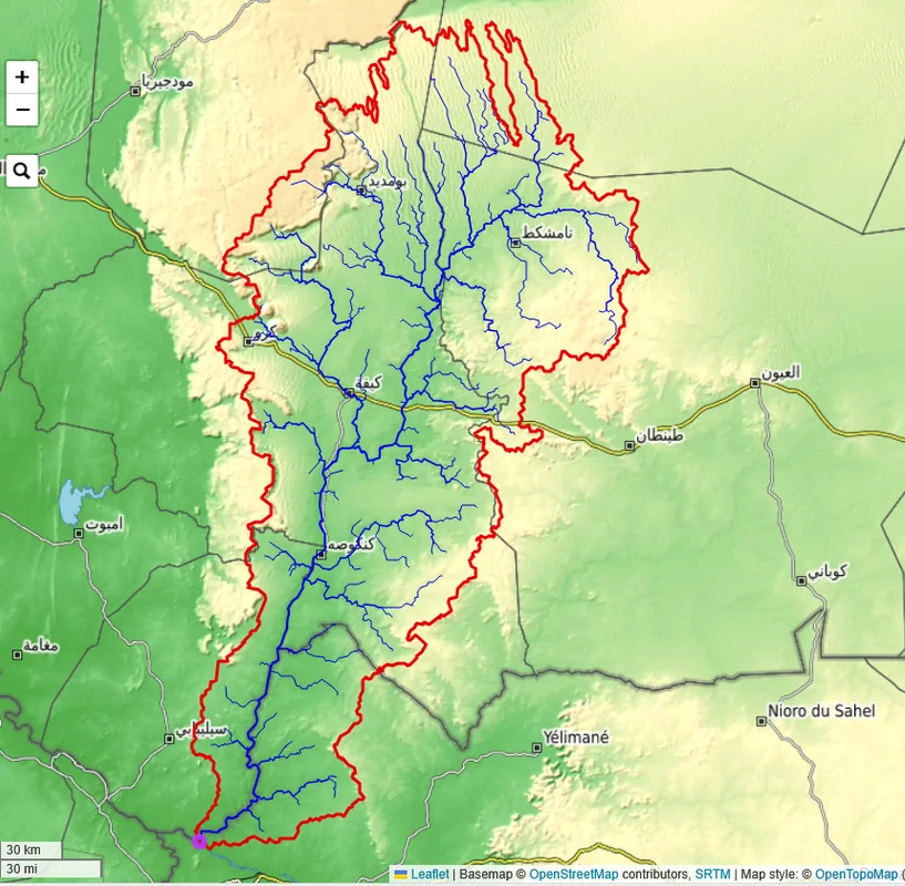
The Guidimaka Plateau, located in the southernmost corner of Mauritania, serves as a vital ecological transition zone between the Sahara Desert and the Sahelian savanna. Unlike the arid northern regions of the country, this hilly highland receives significantly higher rainfall, making it the greenest area in Mauritania. The landscape is defined by rolling hills and a network of seasonal streams that feed into the Senegal River. During the rainy season, the plateau transforms into a lush environment characterized by acacia forests and tall grasses. Historically, the region has been a major agricultural and pastoral hub, primarily settled by the Soninke people, whose culture and traditions are deeply tied to the land's fertility. The more tropical climate allows for diverse farming practices that are impossible elsewhere in the nation. Visiting Guidimaka provides a unique window into a different side of Mauritania, showcasing a bustling, rural way of life and a landscape rich in both natural resources and cultural heritage.
- Location: Mauritania
- Nearby: Sélibaby-Est (42 km)
Best time to visit & climate
The most pleasant time to visit is Jan, Nov, Dec.
| Jan | Feb | Mar | Apr | May | Jun | Jul | Aug | Sep | Oct | Nov | Dec | |
|---|---|---|---|---|---|---|---|---|---|---|---|---|
| Avg °C | 24 | 27 | 30 | 34 | 36 | 34 | 30 | 28 | 28 | 28 | 26 | 24 |
| Rain mm | 1 | 0 | 0 | 0 | 5 | 59 | 160 | 212 | 146 | 40 | 1 | 0 |
📋 Practical info
Geography
Facts
- Sélibaby is the administrative center of the Guidimaka Plateau.
- The region receives the highest rainfall in the country (up to 600 mm).
- Baobab trees are a distinctive feature of this southern landscape.
- It is the primary homeland of the Soninke ethnic group in Mauritania.
- The plateau is characterized by reddish-colored lateritic soils.
- The rainy season here lasts from June until October.
Explore nearby
Notable places around
Route planner — Car & Motorhome
Where do you start? We build the route here, with stops and country notes along the way.
© OpenStreetMap contributors · OpenRouteService
Sights nearby
Frequently asked questions
What is the Guidimaka Plateau?
What is the best time to travel?
Are there tourist accommodations there?
What is the condition of the roads?
Is a visa required?
Guidimaka Plateau: where is it located?
Guidimaka Plateau: when is the best time to visit?
Guidimaka Plateau: why is it worth visiting?

Nearby cities