Plizio Visual Lab
Tal-Balal Ridge
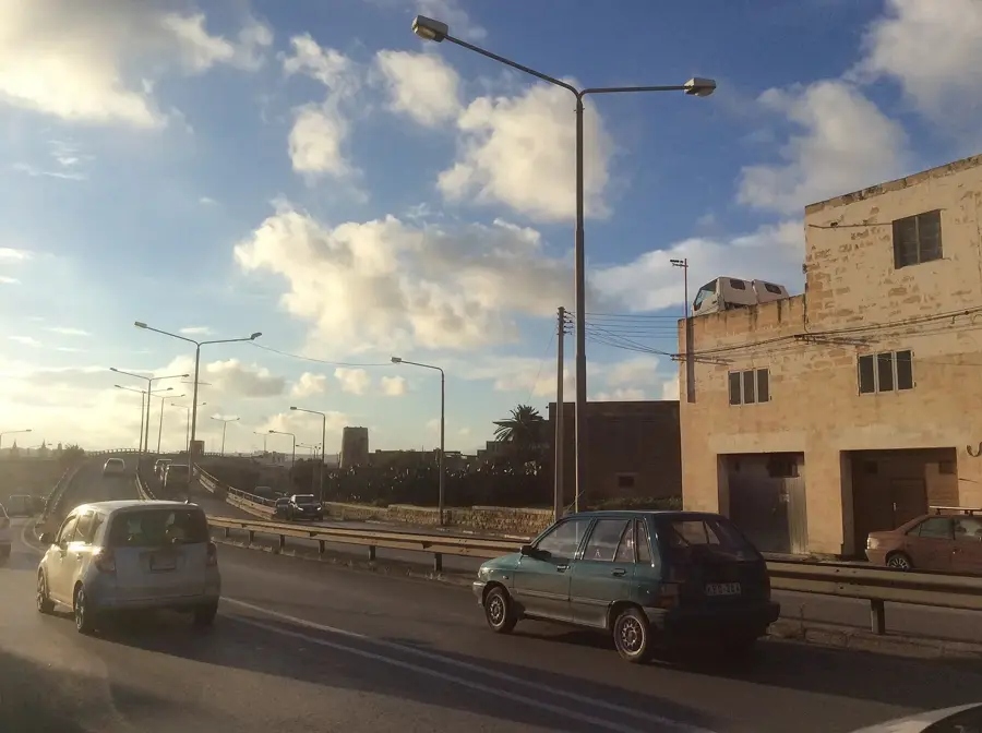
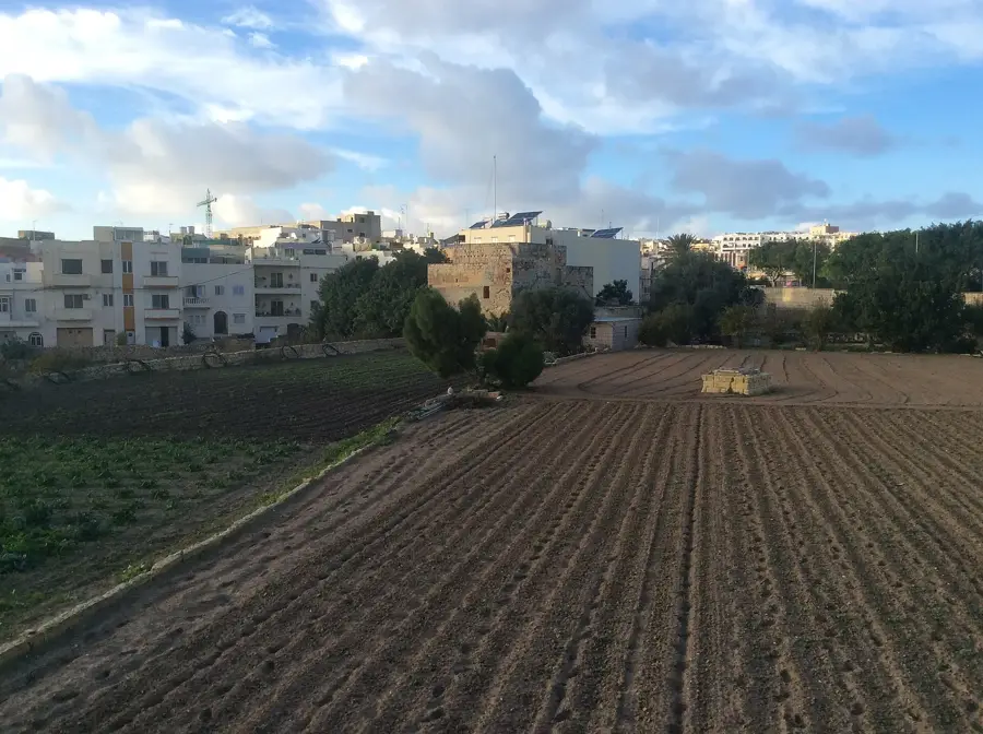
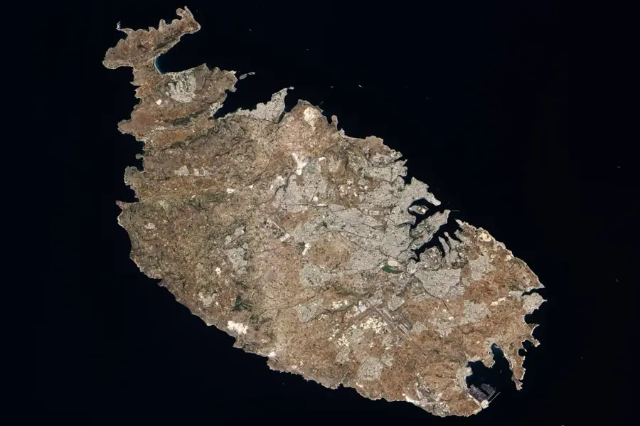
Tal-Balal Ridge is a significant elevated landform in central Malta, stretching between the localities of San Ġwann and Naxxar. This ridge forms part of a series of parallel faults and plateaus that define the island's central topography, providing a natural dividing line between the densely populated urban areas and the rural outskirts. Historically, Tal-Balal was an important transit route and strategic position, offering command over the surrounding plains and the road leading to the north. During the Second World War, the area's elevation was utilized for military installations and anti-aircraft batteries to protect the islands from aerial bombardment. Geologically, the ridge is composed of Globigerina Limestone, which has been extensively quarried in nearby regions, and Upper Coralline Limestone on its higher reaches. Today, Tal-Balal is a busy arterial link, but it still retains pockets of open countryside and features impressive views across the Mediterranean towards the coast. The ridge's relief is characterized by a gradual slope on one side and a more abrupt drop on the other, influencing local urban development and agricultural patterns.
- Location: Malta
- Top sights: Firetech · Wignacourt Aqueduct · Saint Venera Parish Church
- Nearby: Sliema (4 km)
Best time to visit & climate
The most pleasant time to visit is May–Jul.
| Jan | Feb | Mar | Apr | May | Jun | Jul | Aug | Sep | Oct | Nov | Dec | |
|---|---|---|---|---|---|---|---|---|---|---|---|---|
| Avg °C | 15 | 14 | 15 | 16 | 19 | 23 | 26 | 27 | 25 | 23 | 20 | 16 |
| Rain mm | 74 | 65 | 51 | 33 | 17 | 11 | 4 | 10 | 63 | 82 | 95 | 82 |
📋 Practical info
Geography
Facts
- The ridge serves as a natural boundary between central and northern Malta.
- It was a key strategic point for anti-aircraft defenses during WWII.
- Tal-Balal is a major transit link between San Ġwann and Naxxar.
- The area features both Globigerina and Coralline limestone layers.
- It offers panoramic views of the coastal towns and the sea.
- Ancient agricultural remains are still visible in parts of the ridge.
Explore nearby
Notable places around
Route planner — Car & Motorhome
Where do you start? We build the route here, with stops and country notes along the way.
© OpenStreetMap contributors · OpenRouteService
Sights in the town Tal-Balal Ridge (10)
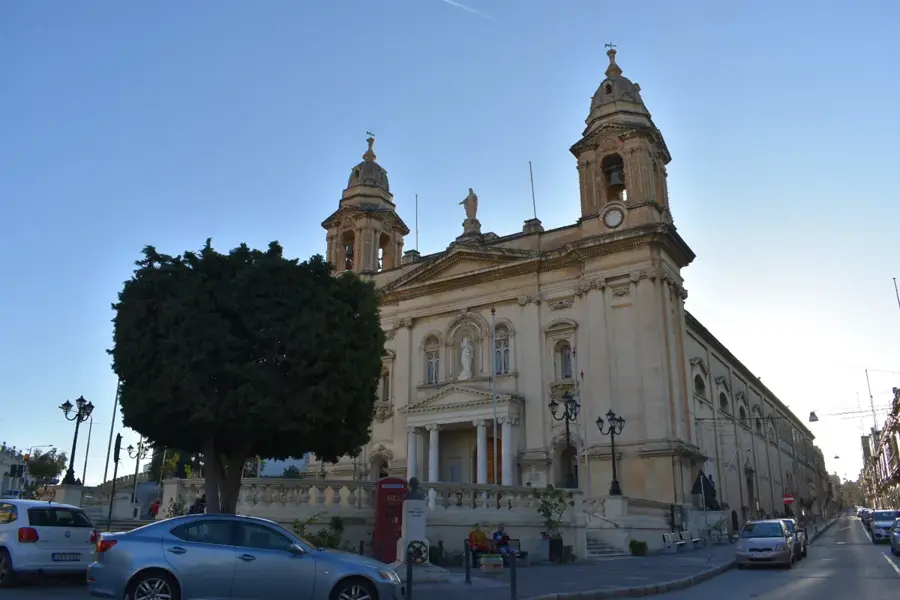
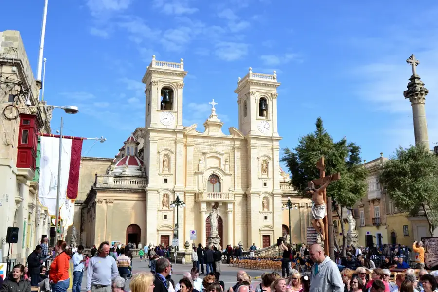
Knisja Arċipretali ta' San Ġorġ
Church on a site with two earlier buildings. Construction began in 1584 as an early Christian basilica, completed in 1684 in a cross shape.
Malta Amateur Drama Company Clubrooms
Premises of an amateur drama group in Malta. Venue for performances and rehearsals.
Cash point
An ATM in Malta. Used for withdrawing cash.
Il-Knisja ta' San Gejtanu
Church in Ħamrun, Malta. Dedicated to Saint Cajetan.
Racecourse
Horse racing track in Malta. Hosts flat races.
Birkirkara Old Train Station🏛 museum
Former railway station in Birkirkara. Now a museum about Maltese railway history.
Sights nearby
Frequently asked questions
Where is the Tal-Balal Ridge located?
Does the ridge offer good viewpoints?
Are there hiking trails along the ridge?
Is the area heavily built up?
Is it good for cycling?
Tal-Balal Ridge: where is it located?
Tal-Balal Ridge: what is there to see?
Tal-Balal Ridge: when is the best time to visit?
Tal-Balal Ridge: why is it worth visiting?

Nature

More places