Plizio Visual Lab
Il-Għallies Plateau
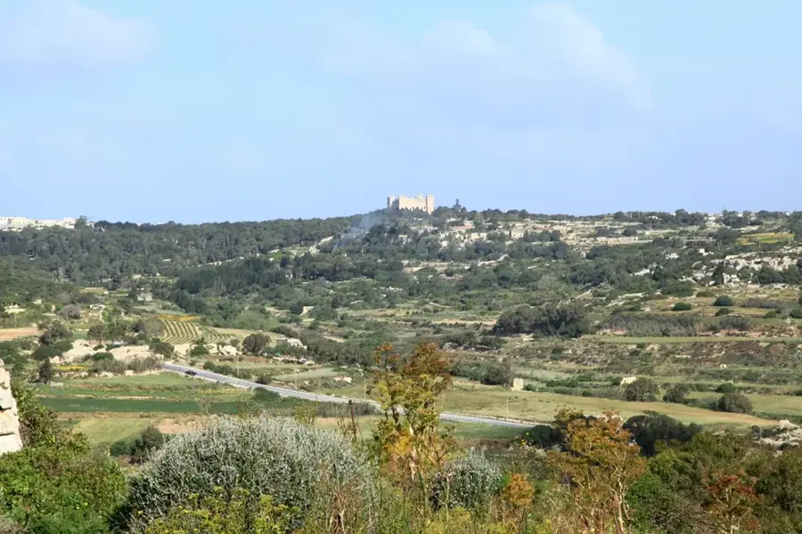
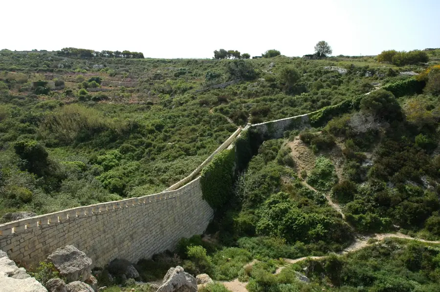
The Il-Għallies Plateau is located in the northern part of Malta, near the village of Naxxar and overlooking Salina Bay. This geological formation is primarily composed of hard Upper Coralline Limestone, creating a distinct elevated flatland above the coastline. Historically, the area is noted for its defensive significance, evidenced by the nearby Għallies Tower built by the Order of St. John in the 17th century. The surface of the plateau features prehistoric cart ruts, indicating early human activity and transport across the rocky terrain. Geographically, the plateau provides a strategic vantage point over the North Malta Channel and the surrounding coastal valleys. The sparse vegetation consists of Mediterranean garigue, which has adapted to the wind-exposed conditions of the coastal heights. Today, parts of the plateau are used for agriculture, while other sections are managed to protect the local biodiversity.
- Location: Malta
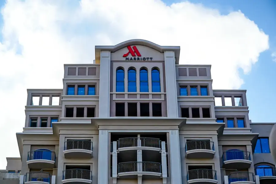
- Top sights: Buġibba Water Park · Amazonia Beach · Saint Francis of Assisi Church
- Nearby: Mosta Dome (5 km)
Best time to visit & climate
The most pleasant time to visit is May–Jul.
| Jan | Feb | Mar | Apr | May | Jun | Jul | Aug | Sep | Oct | Nov | Dec | |
|---|---|---|---|---|---|---|---|---|---|---|---|---|
| Avg °C | 15 | 14 | 15 | 16 | 19 | 23 | 26 | 27 | 25 | 23 | 20 | 16 |
| Rain mm | 74 | 65 | 51 | 33 | 17 | 11 | 4 | 10 | 63 | 82 | 95 | 82 |
📋 Practical info
Geography
Facts
- The plateau is formed from Upper Coralline Limestone layers.
- The nearby Għallies Tower was constructed in 1658 under Grand Master De Redin.
- Ancient prehistoric cart ruts are visible on the rocky surface.
- The area is part of the Natura 2000 network for ecological protection.
- The average elevation of the plateau is approximately 40 meters above sea level.
- It provides a clear view of the historic salt pans in Salina Bay.
Explore nearby
Notable places around
Route planner — Car & Motorhome
Where do you start? We build the route here, with stops and country notes along the way.
© OpenStreetMap contributors · OpenRouteService
Sights in the town Il-Għallies Plateau (10)
Hornblower Cruises
Boat tour operator offering trips along the Maltese coast.
Malta Classic Car Museum🏛 museum
Museum displaying classic cars and automotive history in Malta.
Kennedy Grove🌳 park
Park with trees and paths in St. Paul's Bay, Malta.
Bathing pools
Ruins of old bathing pools, possibly Roman or British era.
Salina Nature Park
Nature reserve with salt marshes and birdwatching spots.
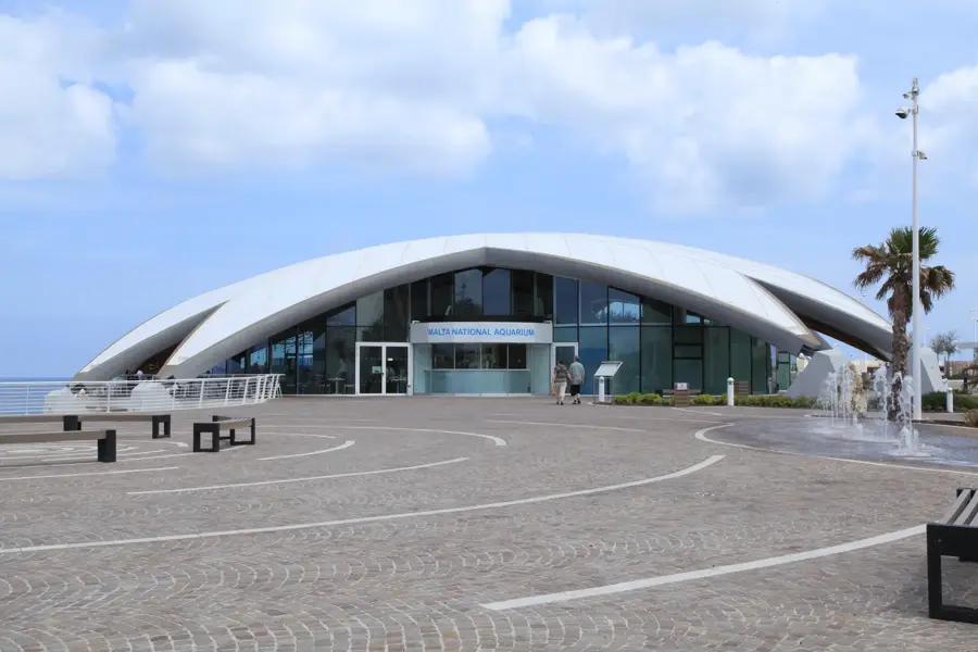
Malta National Aquarium
Large aquarium in Qawra featuring Mediterranean and tropical fish.
Sights nearby
Frequently asked questions
Where is the Għallies Plateau located?
Are there watchtowers there?
Is the area built up?
Can you observe birds there?
Are there shaded spots there?
Il-Għallies Plateau: where is it located?
Il-Għallies Plateau: what is there to see?
Il-Għallies Plateau: when is the best time to visit?
Il-Għallies Plateau: why is it worth visiting?

Nature
More places