Plizio Visual Lab
Mount Dogon
Weather…
Water temperature…
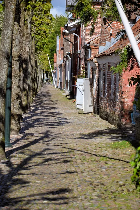
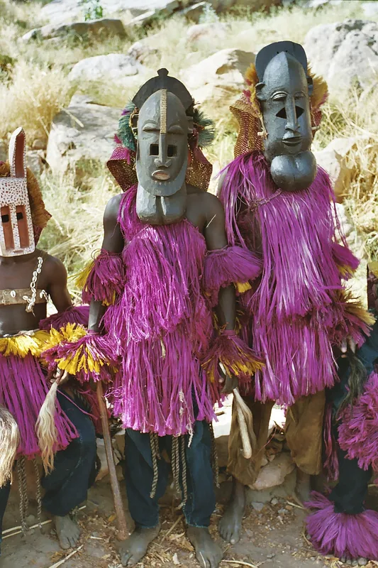
Mount Dogon refers to the impressive Bandiagara Escarpment region in central Mali, the ancestral homeland of the Dogon people. This massive sandstone cliff stretches for approximately 150 kilometers and reaches heights of up to 500 meters above the sandy Seno-Gondo plain. The region is internationally renowned for its extraordinary architecture, with villages built directly into the sheer cliff faces, often atop the ruins of the earlier Tellem civilization. Geologically, the escarpment has been sculpted by erosion into a landscape of deep gorges, high plateaus, and jagged rock formations. Designated a UNESCO World Heritage site in 1989, it is celebrated for both its natural beauty and its profound cultural significance. Dogon culture is famous for its complex astronomical lore, ritual mask dances, and intricate wood carvings. Despite the arid climate, the Dogon have mastered cliff-side agriculture, using sophisticated irrigation techniques to cultivate onions and millet on small, hand-built terraces.
- Location: Mali
- Nearby: Hombori (90 km)
Best time to visit & climate
The most pleasant time to visit is Jan, Feb, Dec.
| Jan | Feb | Mar | Apr | May | Jun | Jul | Aug | Sep | Oct | Nov | Dec | |
|---|---|---|---|---|---|---|---|---|---|---|---|---|
| Avg °C | 23 | 26 | 30 | 33 | 35 | 33 | 30 | 28 | 28 | 29 | 26 | 24 |
| Rain mm | 1 | 0 | 0 | 6 | 17 | 60 | 135 | 196 | 86 | 17 | 0 | 0 |
📋 Practical info
Geography
Facts
- Part of the 150-km long Bandiagara Escarpment.
- UNESCO World Heritage site since 1989.
- Ancestral home of the Dogon, famous for mask rituals.
- Composed of massive Precambrian sandstone.
- Formerly inhabited by the mysterious Tellem people.
- Major center for the cultivation of traditional onions.
Explore nearby
Notable places around
Route planner — Car & Motorhome
Where do you start? We build the route here, with stops and country notes along the way.
© OpenStreetMap contributors · OpenRouteService
Sights nearby
Frequently asked questions
Can you climb Mont Dogon easily?
Are there viewpoints there?
How is the hiking gear?
Are there dangerous animals there?
How long does the circular route take?
Mount Dogon: where is it located?
Mount Dogon: when is the best time to visit?
Mount Dogon: why is it worth visiting?

Nearby cities
Nature
More places