Plizio Visual Lab
Arbinda Petroglyphs

Weather…
Water temperature…
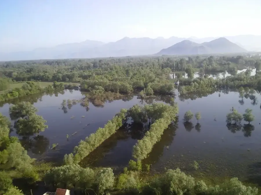
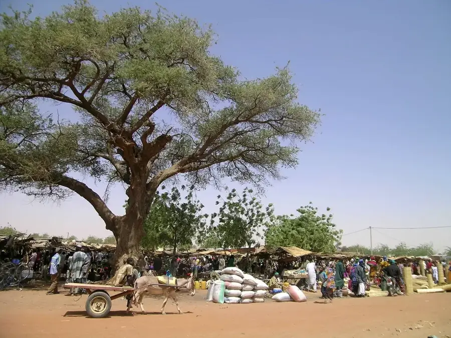
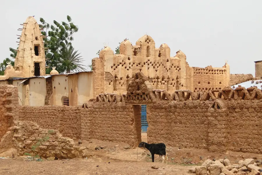
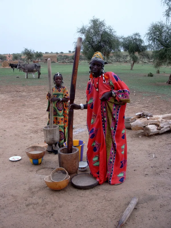
The Arbinda Petroglyphs in Soum Province provide a remarkable record of prehistoric artistic expression within the Sahelian belt. Scattered across the granite hills surrounding the town are numerous rock engravings depicting fauna, human figures, and intricate abstract symbols. The detailed images of elephants, giraffes, and antelopes confirm that this arid region once enjoyed a significantly wetter climate with lush vegetation. These petroglyphs were created by pecking or incising the hard rock surfaces, allowing them to withstand thousands of years of wind and heat erosion. Archaeologists date the earliest engravings to the Neolithic period, while more recent motifs featuring mounted warriors indicate evolving cultural influences and the introduction of the horse. Arbinda served as a long-standing crossroads for nomadic herders and sedentary agriculturalists, resulting in a rich stylistic diversity. These rock carvings likely fulfilled ritualistic or communicative roles for ancient societies rather than being purely decorative. Currently, the preservation of the site is threatened by both natural weathering and encroaching human development. Studying these petroglyphs is essential for reconstructing the migration patterns and ecological history of West Africa.
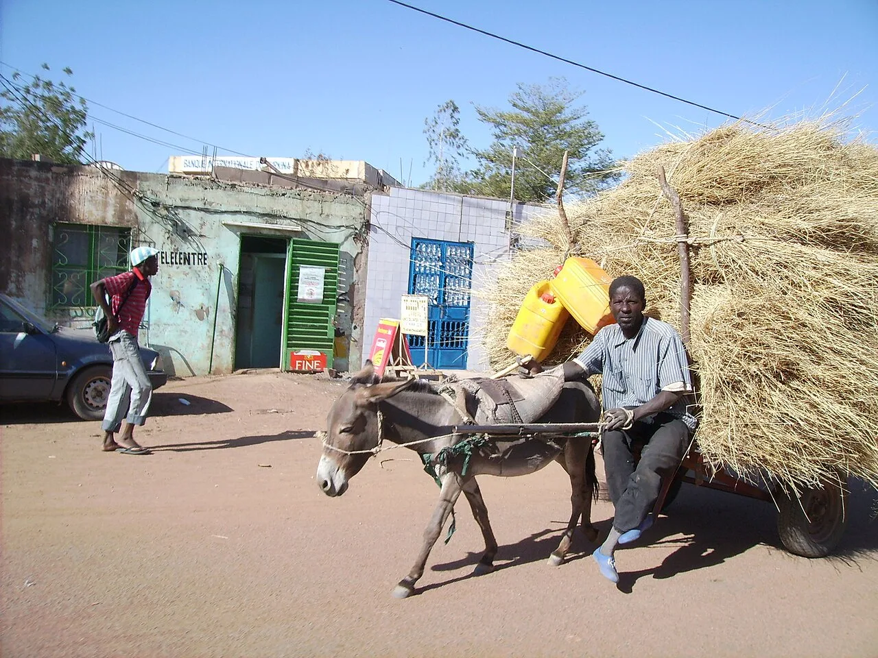
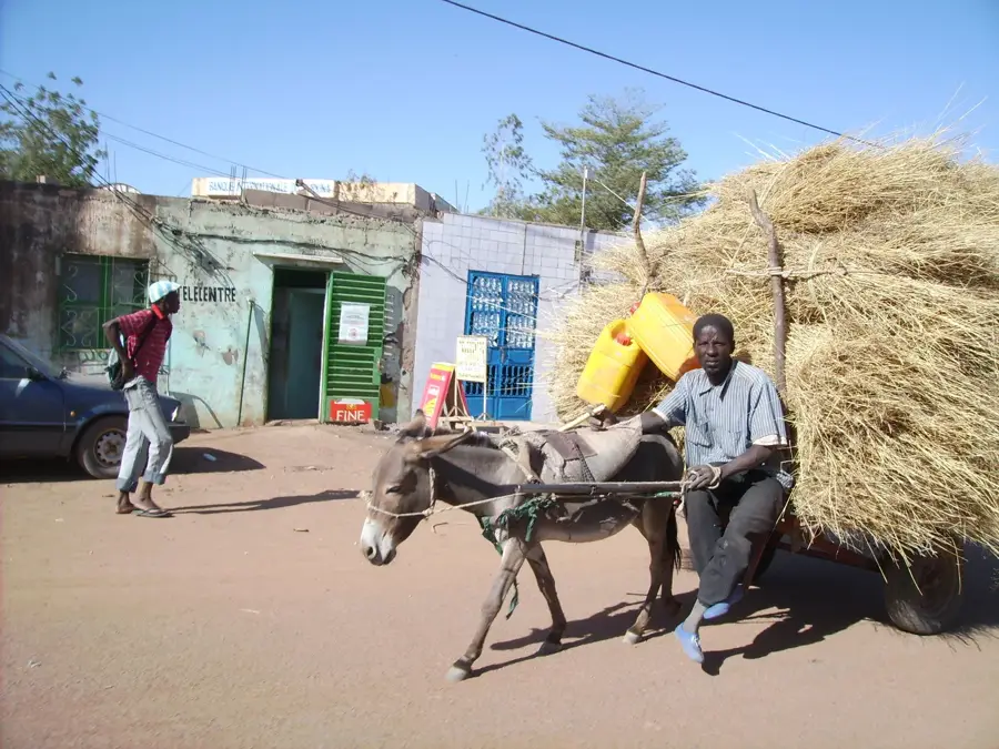
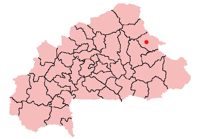
- Location: Burkina Faso
- Top sights: Gorgadji massacre · Arbinda attack · Arbinda
- Nearby: Aribinda (31 km)
Best time to visit & climate
The most pleasant time to visit is Jan, Feb, Dec.
| Jan | Feb | Mar | Apr | May | Jun | Jul | Aug | Sep | Oct | Nov | Dec | |
|---|---|---|---|---|---|---|---|---|---|---|---|---|
| Avg °C | 23 | 26 | 30 | 33 | 35 | 32 | 29 | 27 | 28 | 29 | 27 | 24 |
| Rain mm | 1 | 0 | 0 | 7 | 21 | 73 | 148 | 209 | 97 | 21 | 0 | 0 |
📋 Practical info
Geography
Facts
- The engravings are distributed across more than 20 separate granite hills.
- Some depictions feature animals that have been extinct in the region for centuries.
- Scientific expeditions began intensive documentation of the site in 1950.
- The oldest engravings are estimated to date between 3000 and 1000 BCE.
- Arbinda is situated roughly 100 kilometers north of the city of Kaya.
- The local Kurumba people traditionally regard these hills as sacred sites.
Explore nearby
Notable places around
Route planner — Car & Motorhome
Where do you start? We build the route here, with stops and country notes along the way.
© OpenStreetMap contributors · OpenRouteService
Sights in the town Arbinda Petroglyphs (3)
Sights nearby
Frequently asked questions
What are the Arbinda petroglyphs?
Where exactly are the carvings located?
Is photography allowed?
How is the accessibility of the site?
What is the meaning of the symbols?
Arbinda Petroglyphs: where is it located?
Arbinda Petroglyphs: what is there to see?
Arbinda Petroglyphs: when is the best time to visit?
Arbinda Petroglyphs: why is it worth visiting?

Nearby cities
History & landmarks
Nature
More places