Plizio Visual Lab
Papar Coast
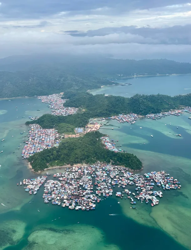
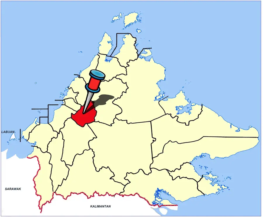
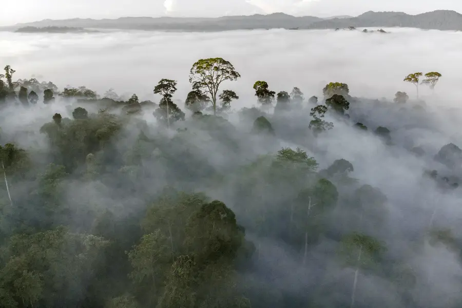
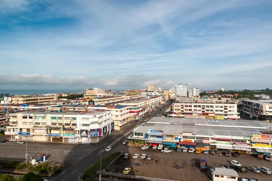
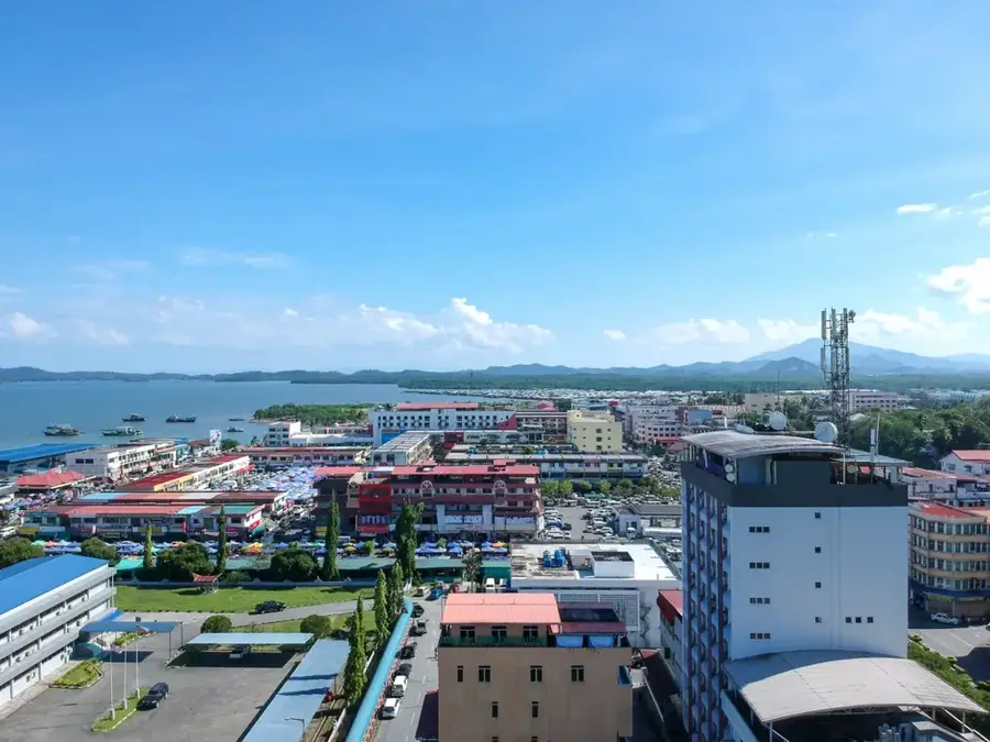
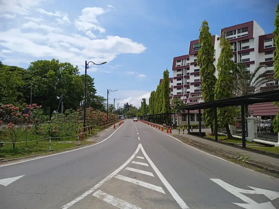
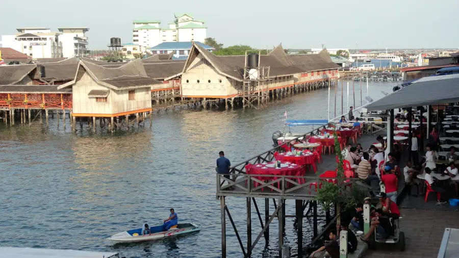
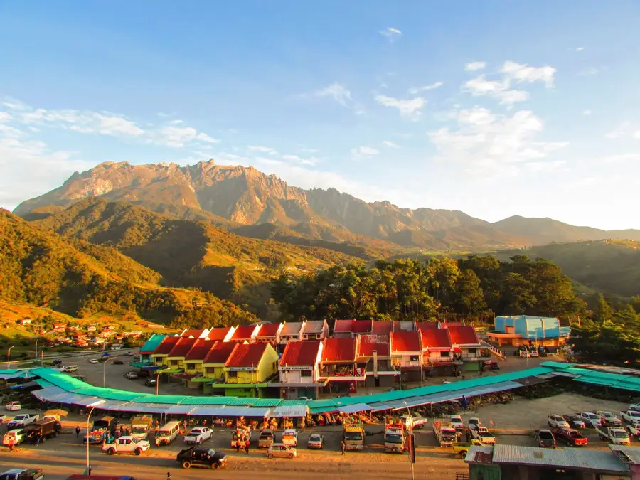
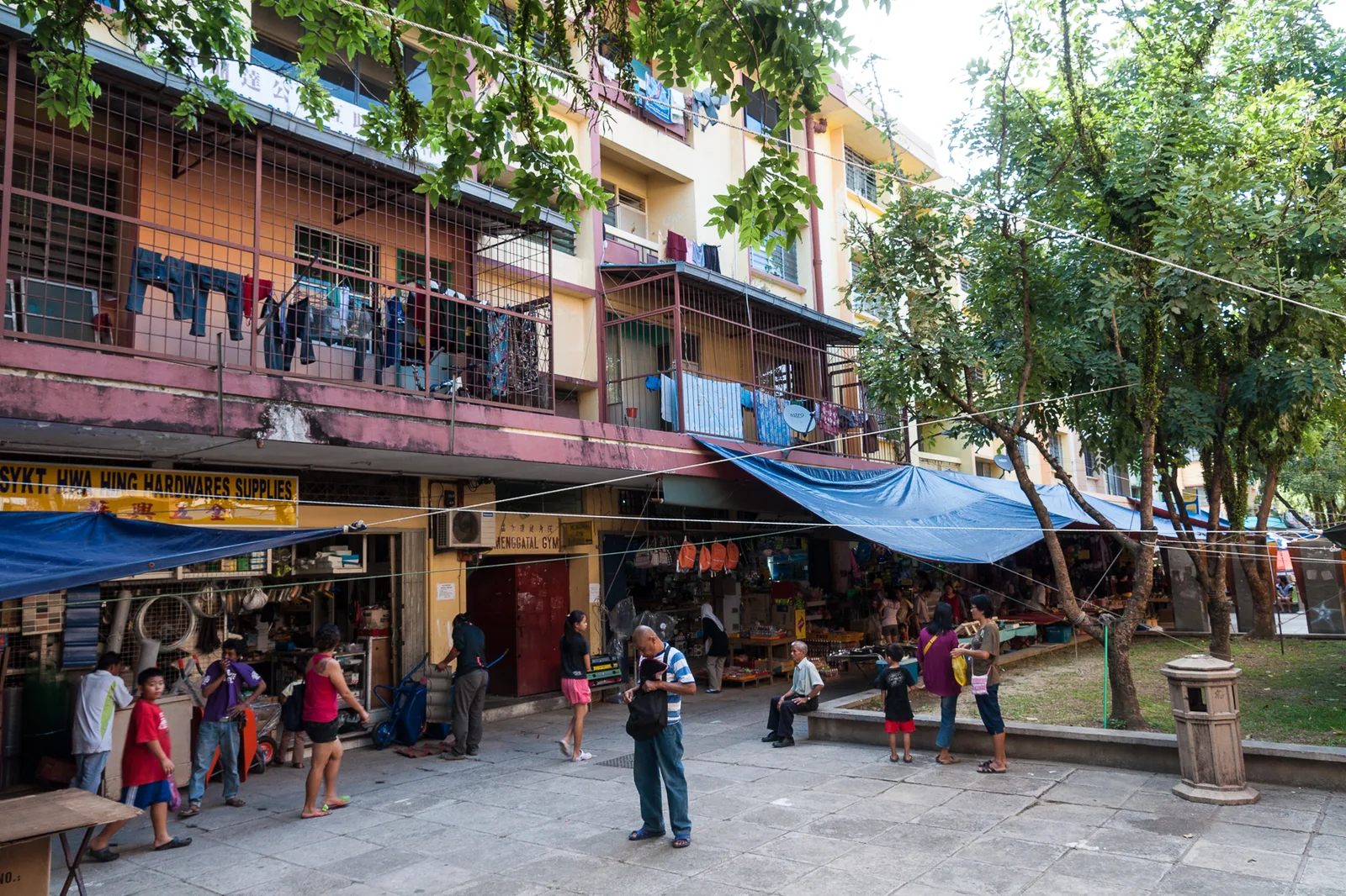
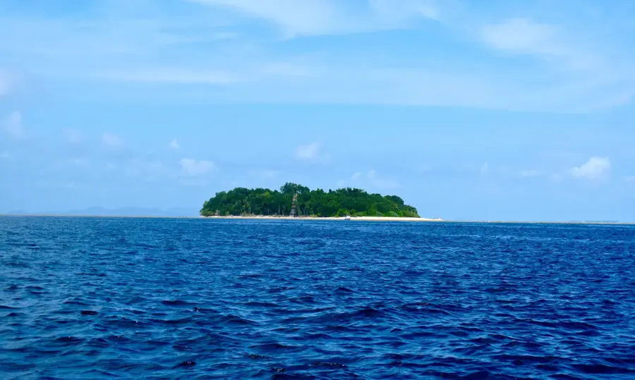
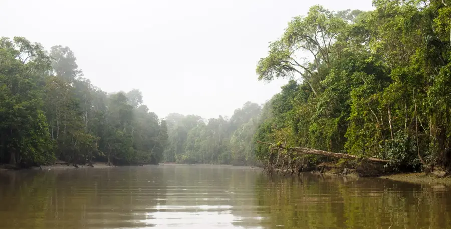
The Papar Coast stretches along the West Coast Division of Sabah, approximately 38 kilometers south of the state capital, Kota Kinabalu. Geographically, the region is often referred to as the 'Rice Bowl of Sabah' because its fertile coastal plains and the alluvial soils of the Papar River provide convenient conditions for wet paddy cultivation. The shoreline is characterized by wide, flat beaches and estuaries that play an essential role in local fisheries and coastal erosion management. Historically, Papar is a cultural melting pot where the Kadazan-Dusun and Bajau ethnic groups have coexisted for generations, an influence reflected in the local architecture and the traditional open-air markets known as Tamu. The region is also a key transportation link, with the North Borneo Railway passing through, connecting Papar to the interior and the capital. Beyond agriculture, tourism is increasing in importance, focusing on the ecological value of the river systems and seaside recreation. The Papar River basin is currently the site of major infrastructure projects aimed at securing the water supply for Sabah's growing west coast population.
- Location: Malaysia
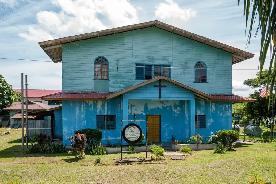
- Top sights: Pulau Layangan Lighthouse · Masjid Jamek Kg. Sungai Padang · Kingdom Hall of Jehovah's Witnesses
- Nearby: Tanjung Aru (17 km)
Best time to visit & climate
The most pleasant time to visit is Feb–Apr.
| Jan | Feb | Mar | Apr | May | Jun | Jul | Aug | Sep | Oct | Nov | Dec | |
|---|---|---|---|---|---|---|---|---|---|---|---|---|
| Avg °C | 23 | 23 | 23 | 24 | 24 | 23 | 23 | 23 | 23 | 23 | 23 | 23 |
| Rain mm | 201 | 101 | 133 | 155 | 220 | 255 | 249 | 230 | 259 | 335 | 281 | 265 |
📋 Practical info
Geography
Facts
- Known as the 'Rice Bowl of Sabah' due to its extensive paddy fields.
- Located approximately 38 kilometers south of Kota Kinabalu.
- A major stop on the historic North Borneo Railway line.
- A cultural hub for the Kadazan-Dusun and Bajau communities.
- The Papar River is the primary source for regional irrigation.
- Famous for its weekly 'Tamu' open-air traditional market.
Explore nearby
Notable places around
Route planner — Car & Motorhome
Where do you start? We build the route here, with stops and country notes along the way.
© OpenStreetMap contributors · OpenRouteService
Sights in the town Papar Coast (5)
Sights nearby
Frequently asked questions
What is the difficulty level of hiking along the Küste von Papar?
What is the best time of year to visit?
Are there public restrooms nearby?
Is parking along the coast easy?
What is the weather risk?
Papar Coast: where is it located?
Papar Coast: what is there to see?
Papar Coast: when is the best time to visit?
Papar Coast: why is it worth visiting?

Nearby cities

History & landmarks
Nature
More places