Plizio Visual Lab
Dzalanyama Range

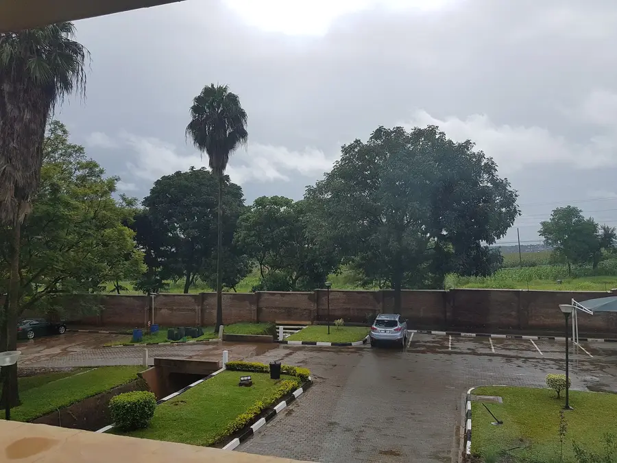
Weather…
Water temperature…
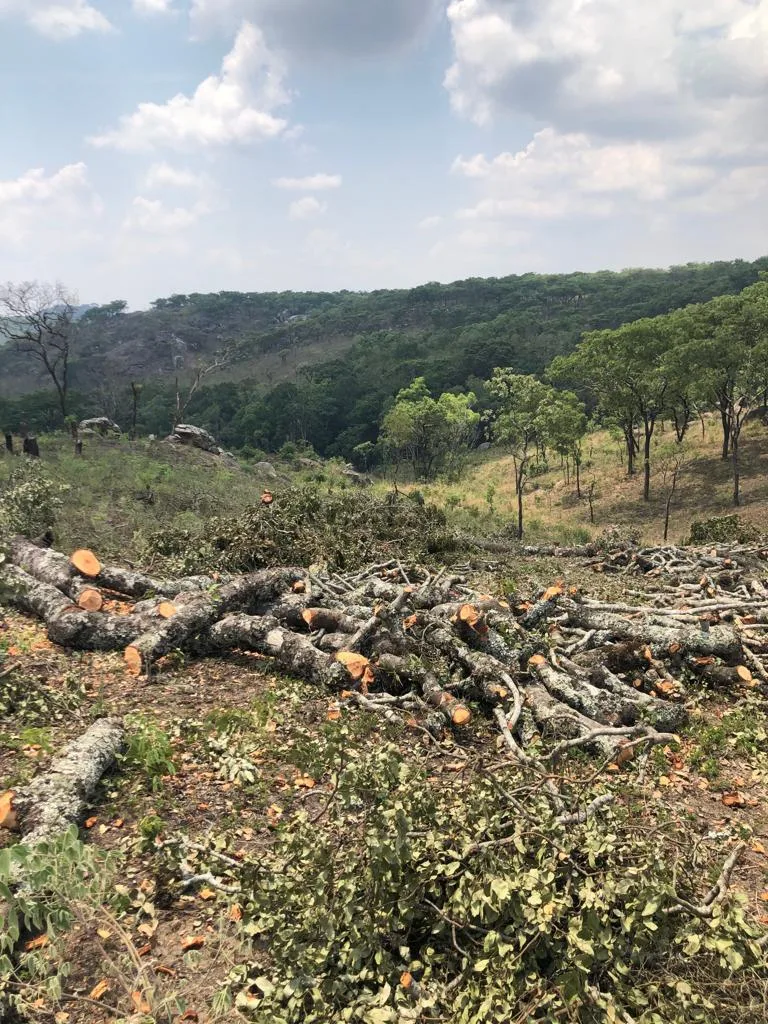
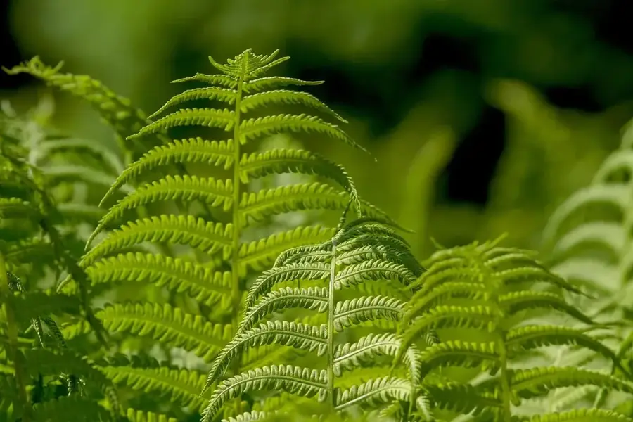
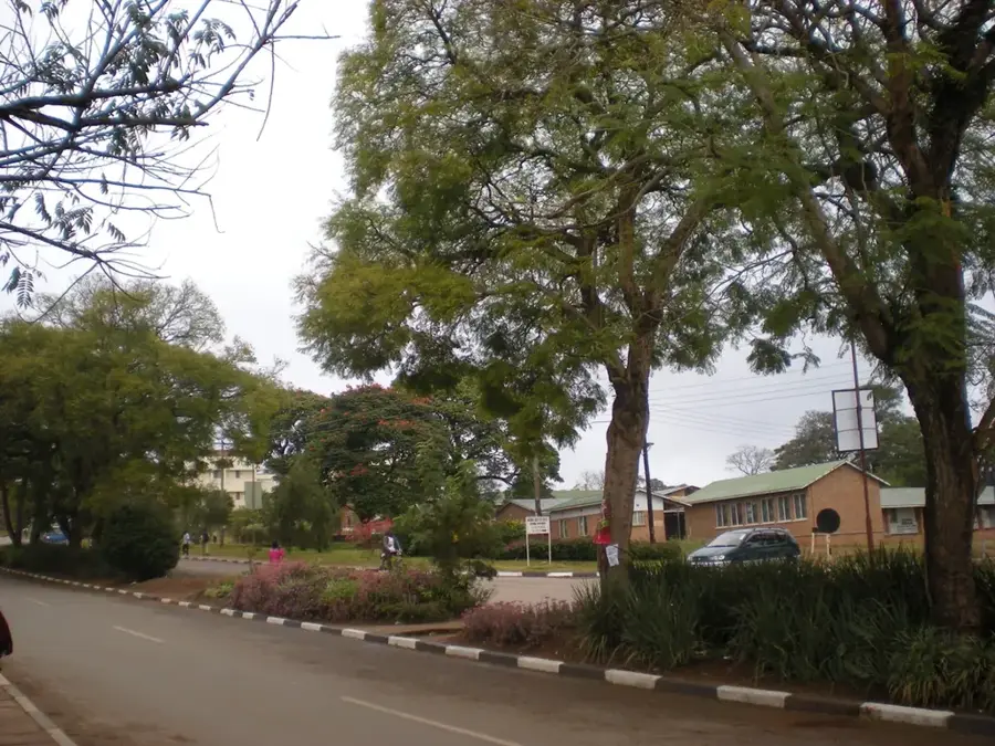
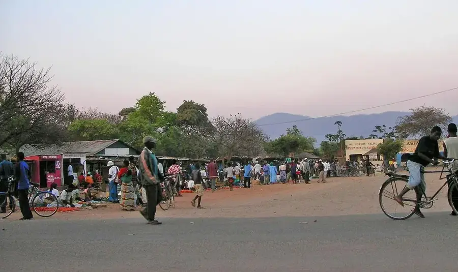
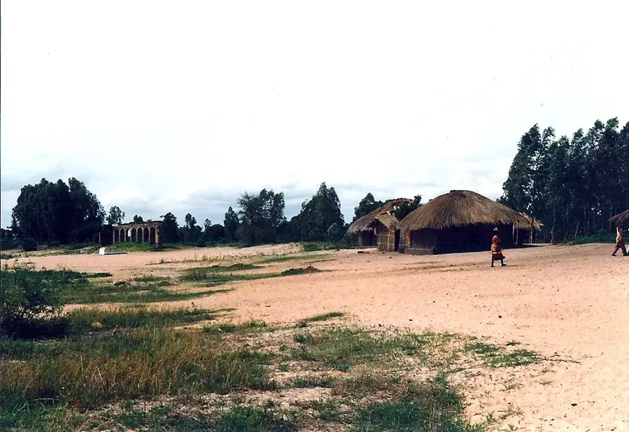
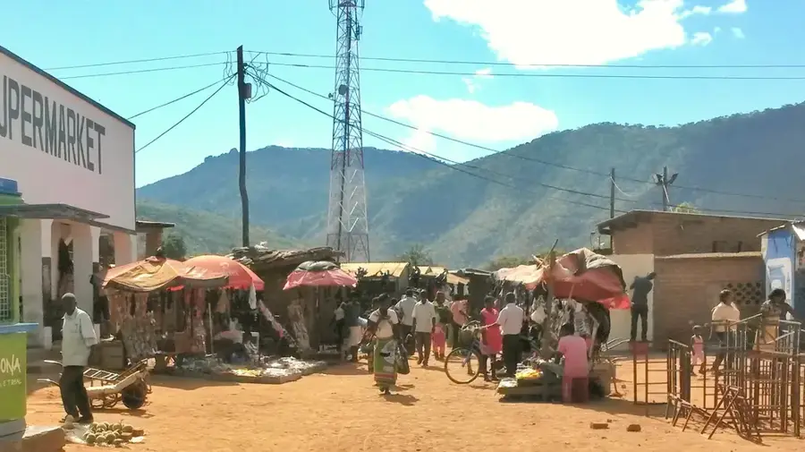
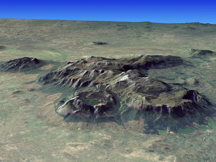
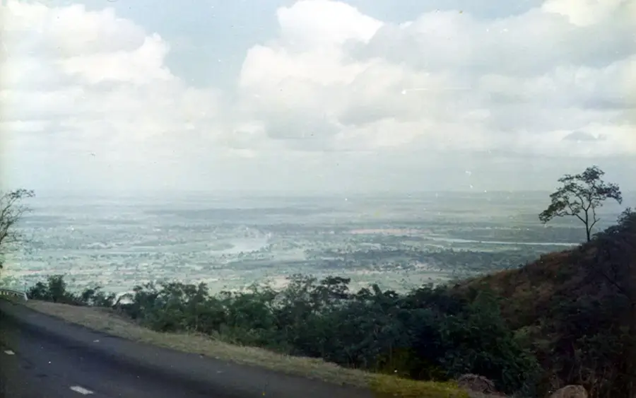
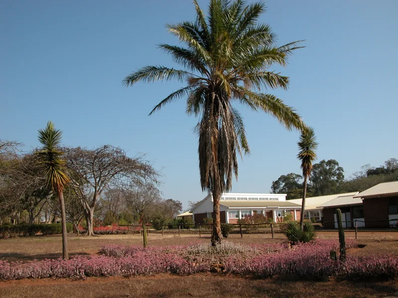
The Dzalanyama Range is situated southwest of Lilongwe, Malawi's capital, and plays a crucial role in the region's environmental stability. Reaching heights of 1,600 meters, the range is primarily composed of quartzite and gneiss, serving as a vital water catchment area for the Lilongwe River, which provides the primary water supply for the capital city. The range is densely forested with Miombo woodlands, offering a rich habitat for an incredible variety of birdlife, including several rare and endemic species. Consequently, Dzalanyama is a premier destination for birdwatchers and nature enthusiasts in Southern Africa. The mountains also form part of the international border with Mozambique, offering a tranquil and remote setting for hikers. Preserving the integrity of the Dzalanyama forests is not only essential for biodiversity but also of strategic importance for the sustainable water management of the surrounding region, making it a key area for conservation efforts.
- Location: Malawi
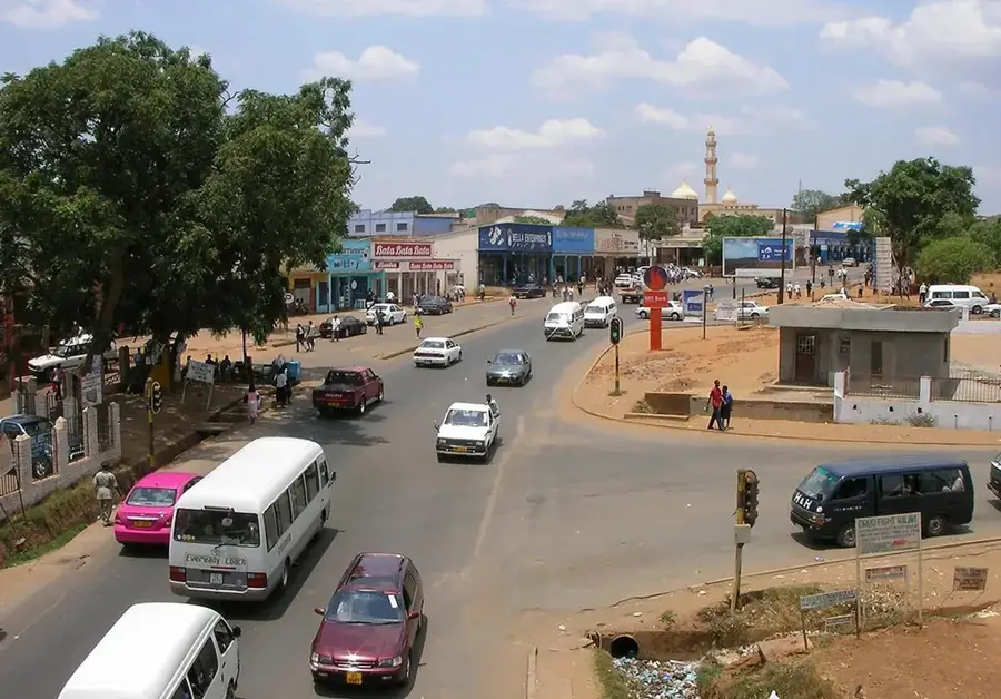
- Nearby: Lilongwe (40 km)
Best time to visit & climate
The most pleasant time to visit is May, Aug, Sep.
| Jan | Feb | Mar | Apr | May | Jun | Jul | Aug | Sep | Oct | Nov | Dec | |
|---|---|---|---|---|---|---|---|---|---|---|---|---|
| Avg °C | 21 | 21 | 21 | 19 | 18 | 16 | 16 | 18 | 21 | 24 | 25 | 23 |
| Rain mm | 307 | 216 | 151 | 40 | 6 | 2 | 3 | 3 | 3 | 12 | 63 | 242 |
📋 Practical info
Geography
Facts
- Length: 50 km
- Average elevation: 1,500 m
- Forest reserve: 300 km²
- Annual rainfall: 800–1,200 mm
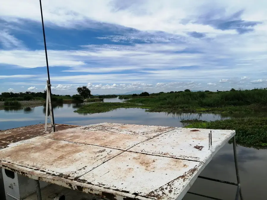
- River: Lilongwe River
- Crops: maize, tobacco
Explore nearby
Notable places around
Route planner — Car & Motorhome
Where do you start? We build the route here, with stops and country notes along the way.
© OpenStreetMap contributors · OpenRouteService
Sights nearby
Frequently asked questions
How long does a tour through the range take?
Is travel from Lilongwe easy?
Is hiking safe here?
Are there water sources?
Is nature photography good here?
Dzalanyama Range: where is it located?
Dzalanyama Range: when is the best time to visit?
Dzalanyama Range: why is it worth visiting?

Nearby cities


History & landmarks


Nature

More places