Plizio Visual Lab
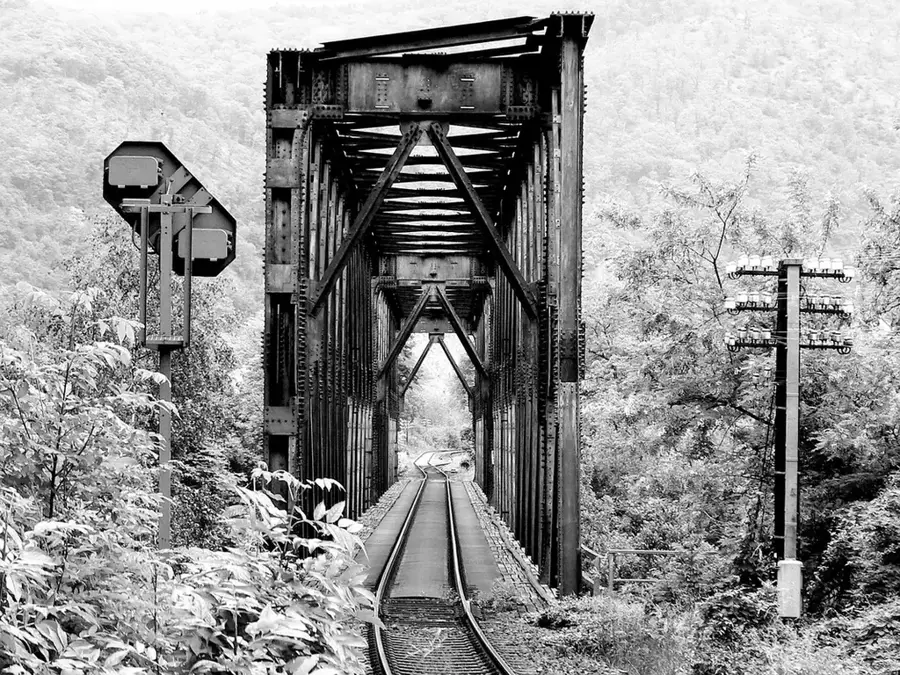
Bangula Rail Bridge
Weather…
Water temperature…
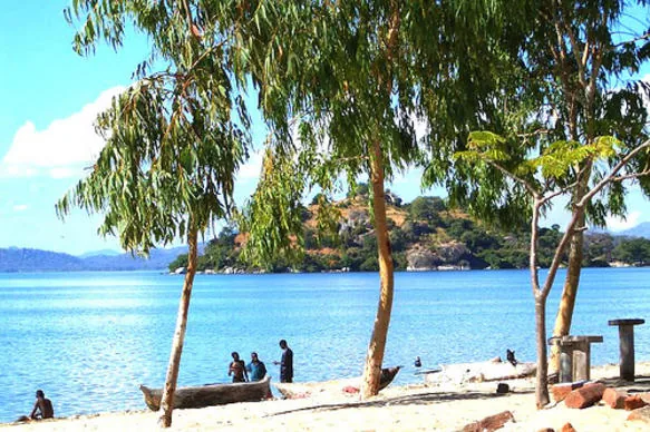
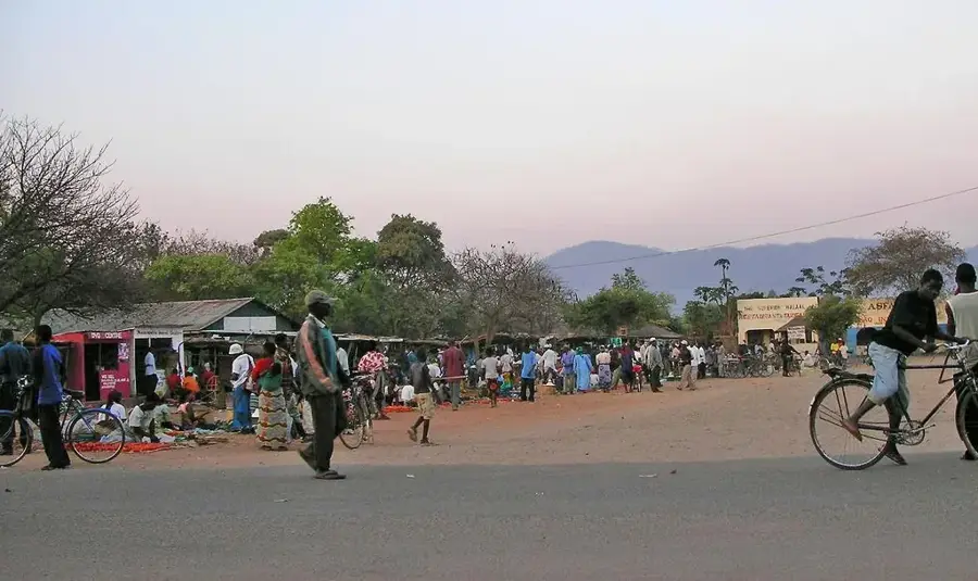
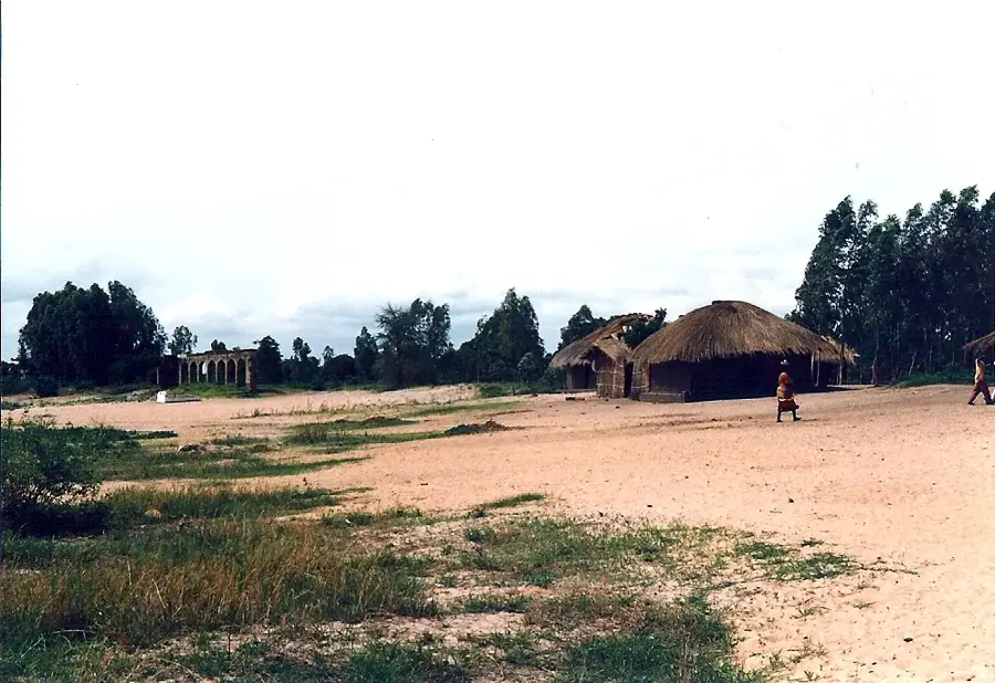
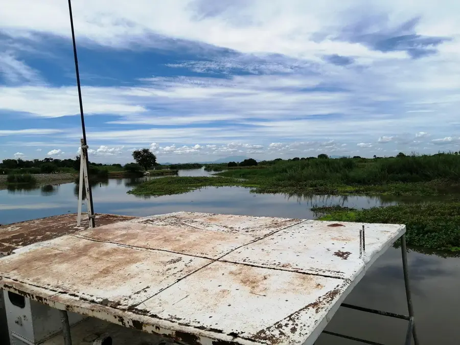
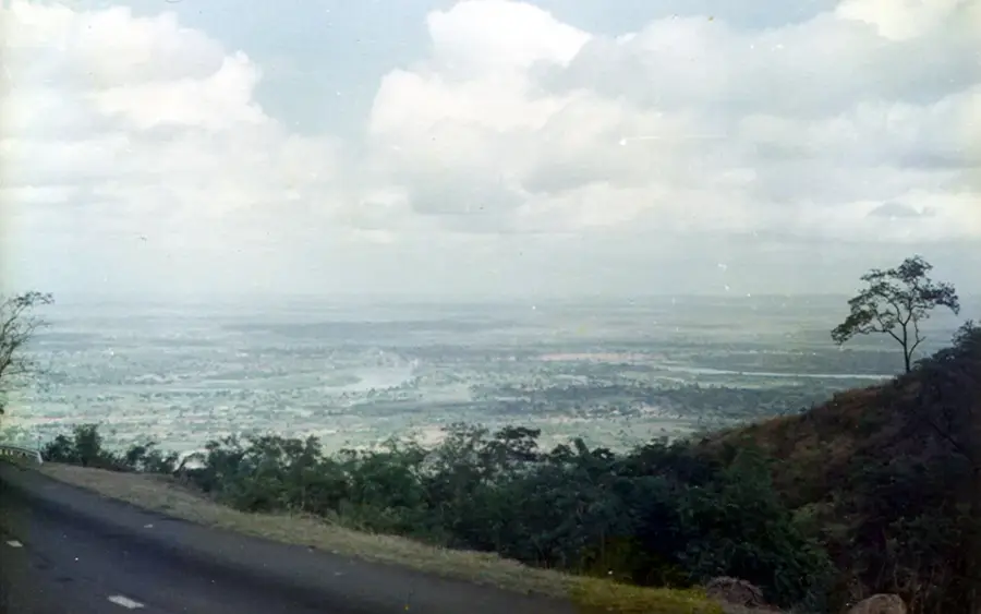
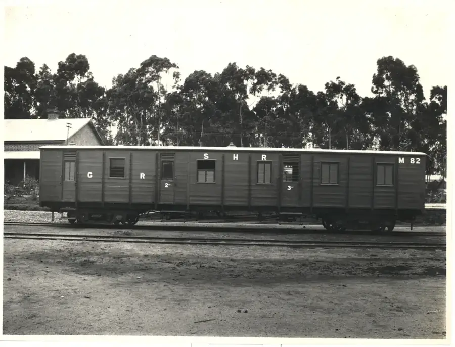
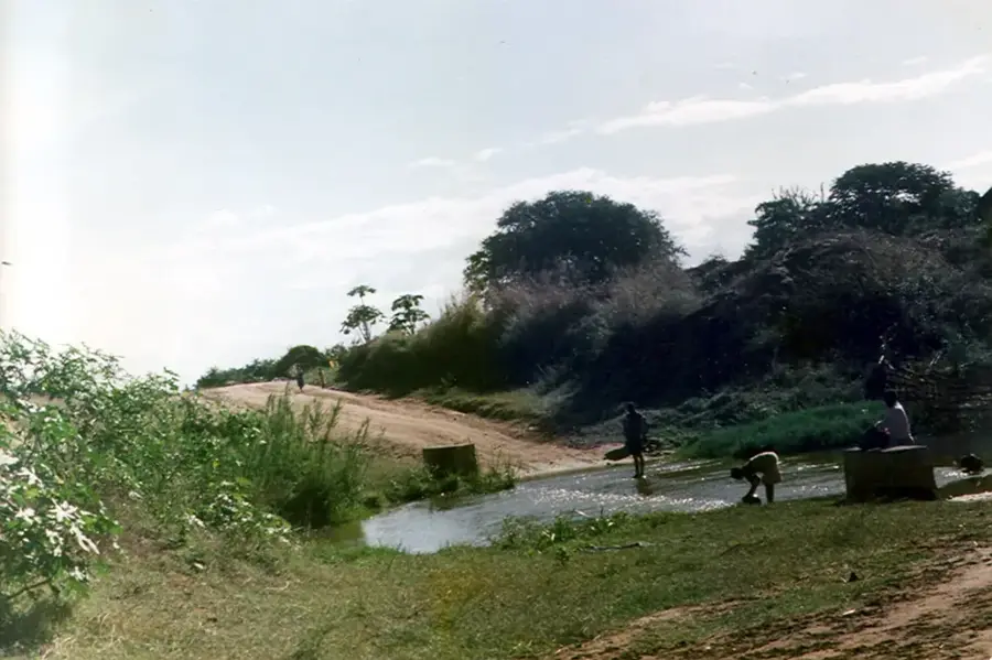
The Bangula Rail Bridge in southern Malawi stands as a significant engineering landmark from the early colonial era. Constructed as a vital component of the Shire Highlands Railway, it provided the landlocked protectorate of Nyasaland with its essential link to the port of Beira in Mozambique and the Indian Ocean beyond. Spanning the complex waterways of the Shire River valley, the bridge was instrumental in the transport of key exports such as tea, tobacco, and cotton, which formed the backbone of the regional economy. The steel architecture reflects the industrial ambitions of the early 20th century, showcasing the resilience of infrastructure built in challenging marshy environments. Today, the bridge remains a silent witness to Malawi's developmental history and a fascinating site for those exploring the intersection of transport history and geography, marking Bangula's past role as a critical junction between the coastal plains and the interior highlands.
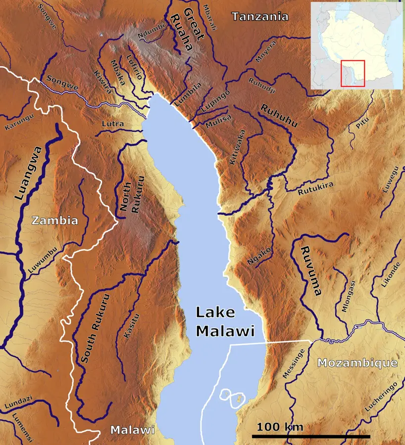
- Location: Malawi
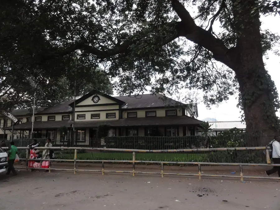
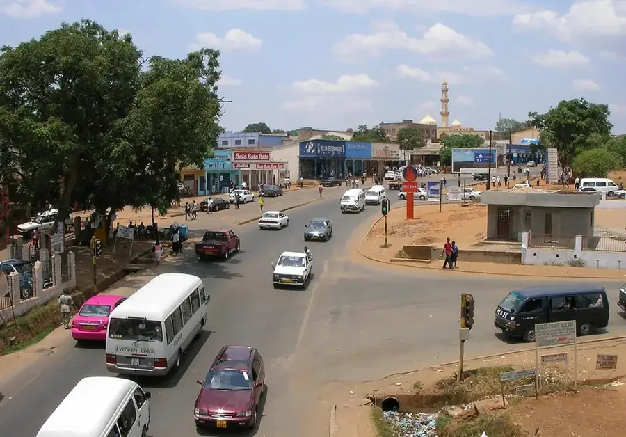
- Nearby: Nsanje (34 km)
Best time to visit & climate
The most pleasant time to visit is Jun–Aug.
| Jan | Feb | Mar | Apr | May | Jun | Jul | Aug | Sep | Oct | Nov | Dec | |
|---|---|---|---|---|---|---|---|---|---|---|---|---|
| Avg °C | 27 | 26 | 26 | 25 | 24 | 22 | 22 | 24 | 28 | 30 | 31 | 28 |
| Rain mm | 266 | 189 | 144 | 42 | 15 | 15 | 26 | 6 | 8 | 13 | 76 | 203 |
📋 Practical info
Geography
Facts
- Completed 1935
- Steel truss
- Length: 200 m
- Height: 10 m
- Piers: 2
- Reinforced 1970
Explore nearby
Notable places around
Route planner — Car & Motorhome
Where do you start? We build the route here, with stops and country notes along the way.
© OpenStreetMap contributors · OpenRouteService
Sights in the town Bangula Rail Bridge (1)
Sights nearby
Frequently asked questions
Is the Bangula railway bridge still in use?
Can you walk on the bridge?
Is it a good photo spot?
Where exactly is the bridge located?
Are there parking spots?
Bangula Rail Bridge: where is it located?
Bangula Rail Bridge: when is the best time to visit?
Bangula Rail Bridge: why is it worth visiting?

Nearby cities
History & landmarks


Nature
More places