Plizio Visual Lab
Rüttistein

ℹ️Practical info — Rüttistein
▾
🌤 Weather — 5 days
📍 Nearby
Sights nearby
💡 Tips
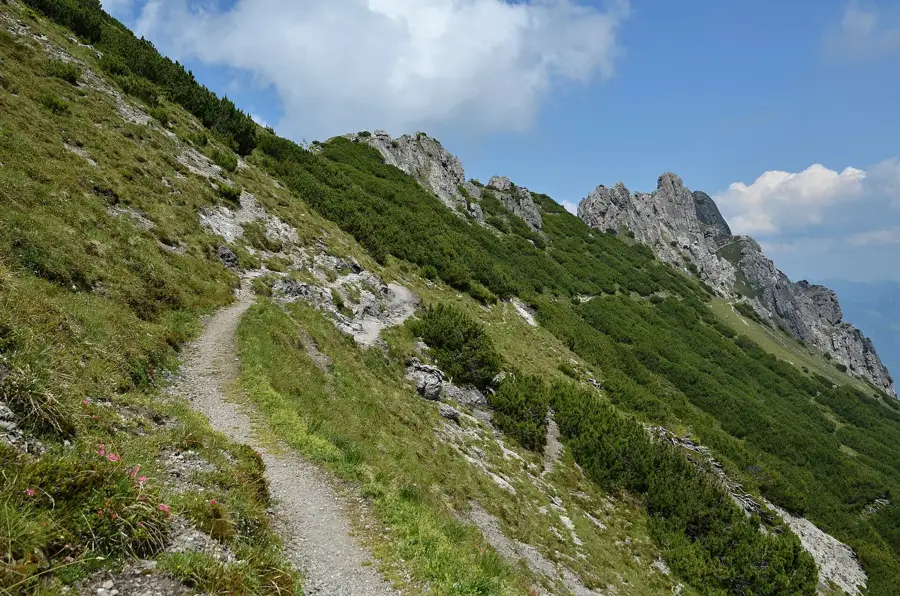
- The rock formations can be slippery when wet, so wear good hiking boots.
- Combine the visit with a larger hike around the Three Sisters massif.
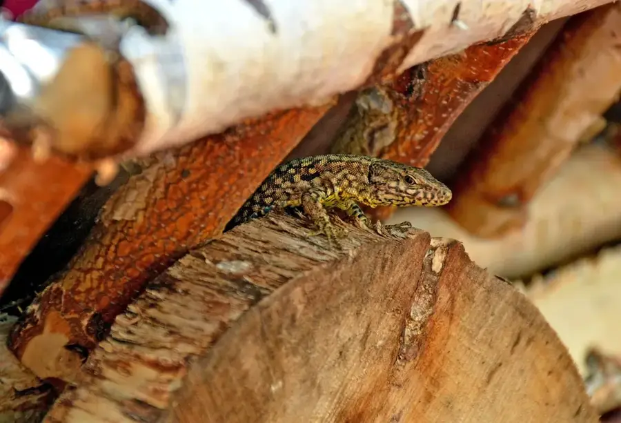
- Keep noise to a minimum so you might spot local wildlife like chamois.
- Parking is limited; it's best to start your hike from the center of Planken.
🍽 Food
Try this hearty cornmeal dish at an inn in Planken.
An excellent snack to bring along for a picnic by the rocks.
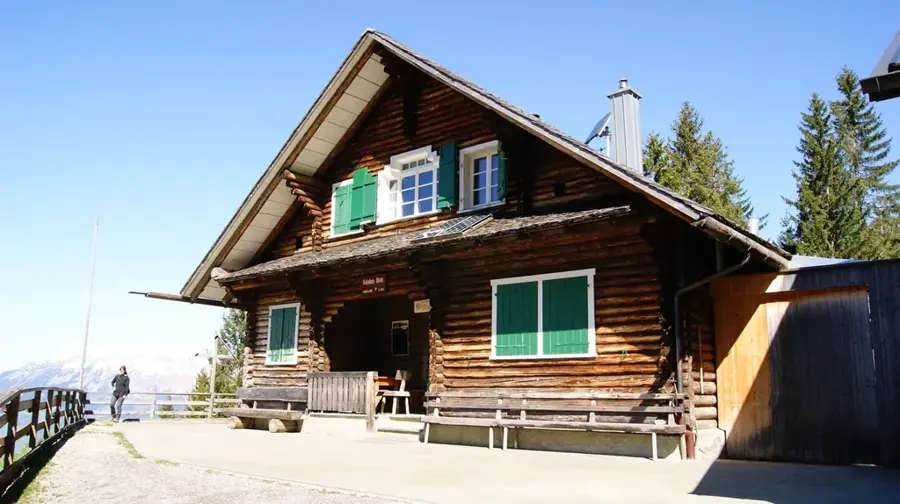
Stop by one of the nearby alpine club huts for a bite after your hike.
🛍 Shopping · 🧘 Quiet spots
Look for small regional keepsakes in the main municipality.
Buy fresh bread and mountain cheese in the village shops down in the valley.
Sit down and enjoy the wide-open view over the Rhine Valley.
Great for a quiet rest away from the main hiking trails.
Water temperature…
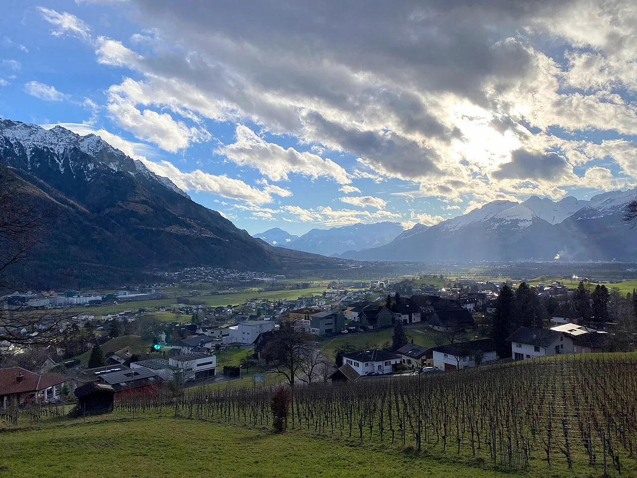
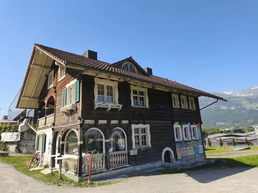
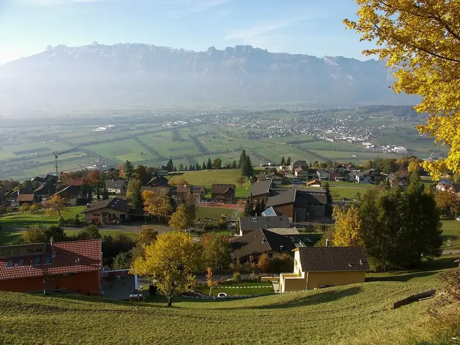
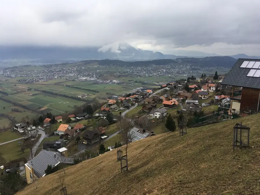
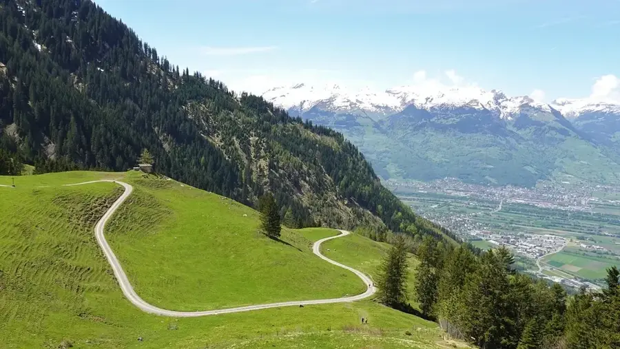
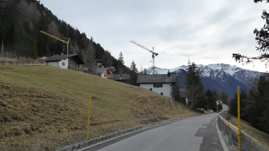
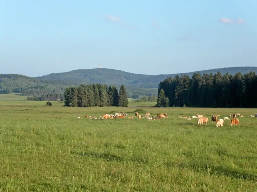
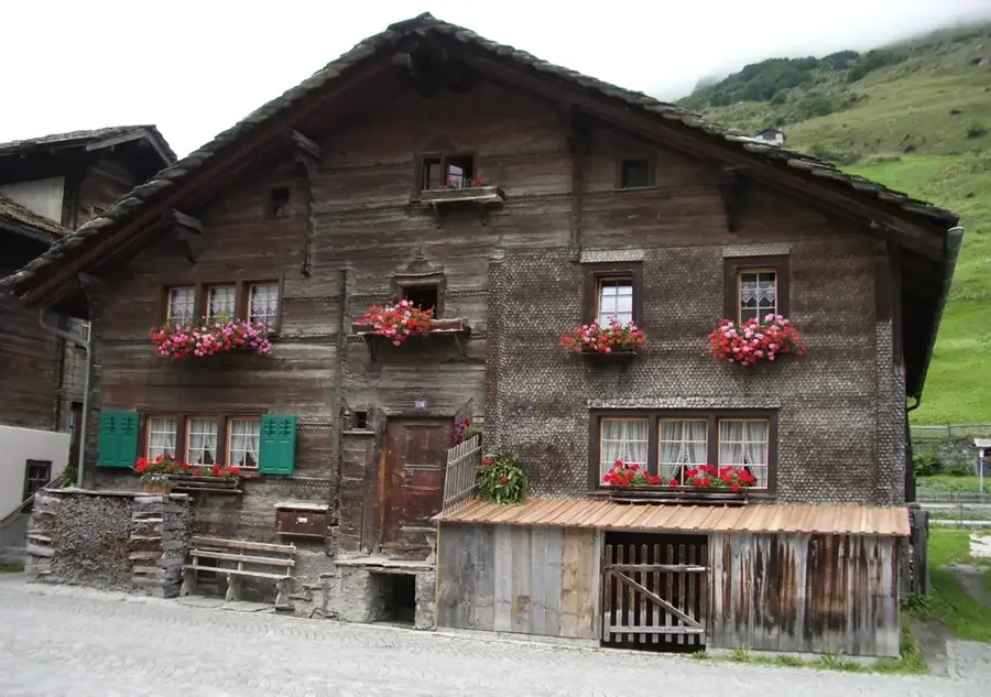
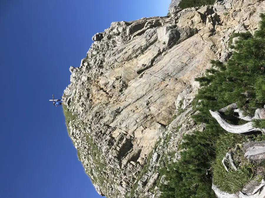
Rüttistein is a small cluster of settlements in the municipality of Schellenberg, perched on the ridge of the Eschnerberg hill in northern Liechtenstein. The area is renowned for its tranquil atmosphere and its integration into an expansive meadow landscape. Historically, Rüttistein was shaped by land clearing, as indicated by the 'Rütti' component of its name. Settling on this elevated ridge provided residents with a secure location for agriculture for centuries, well above the Rhine plain that was once prone to frequent flooding. Today, Rüttistein is primarily valued as a residential area, featuring a blend of modernized farmhouses and contemporary architecture. Its proximity to the Historic Highland Trail makes the hamlet a key point for local tourism. The vistas extend from the Swiss mountains far into the Austrian region of Vorarlberg.
- Location: Planken, Liechtenstein
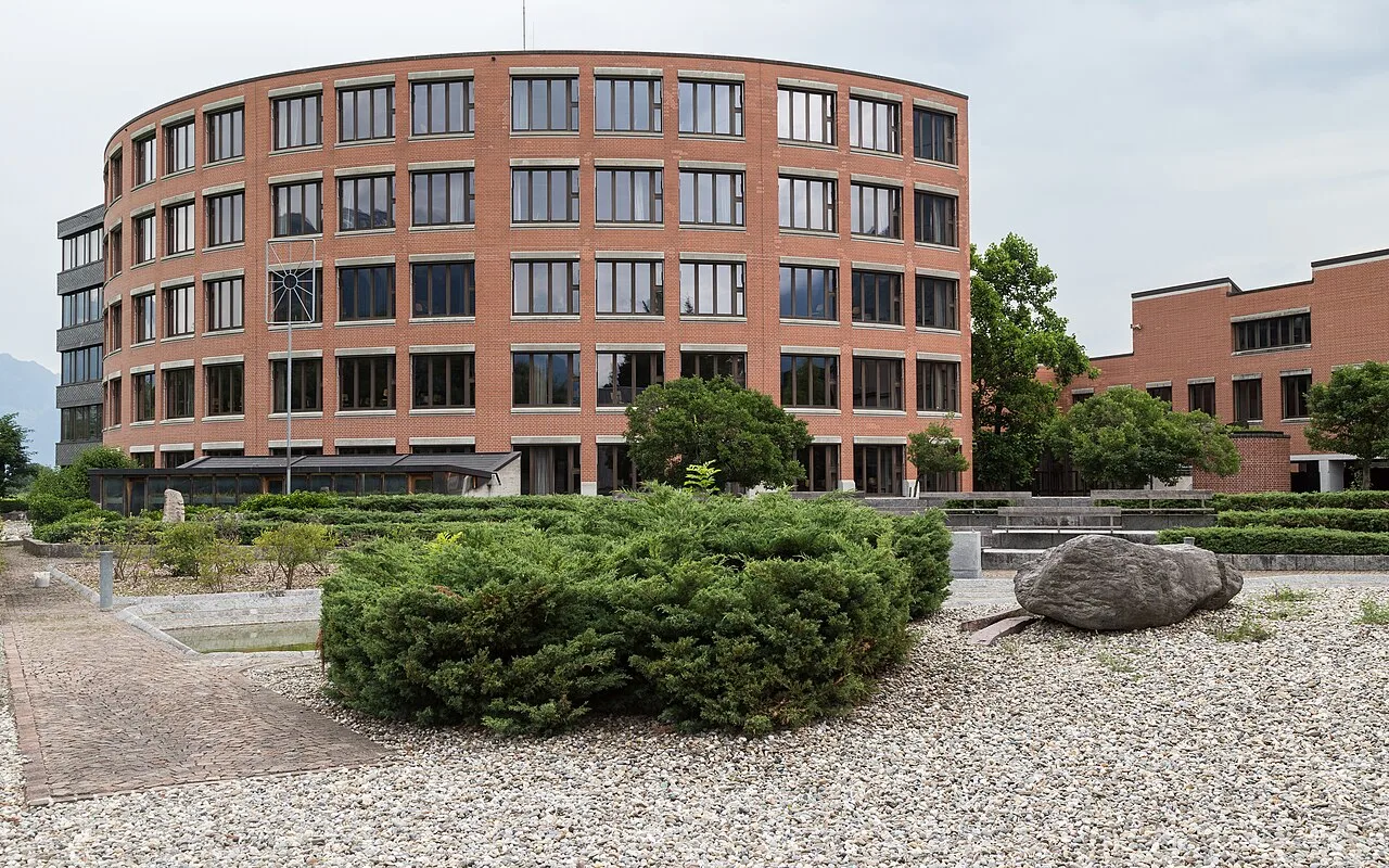
- Top sights: Naturschutzgebiet Schwabbrünnen/Äscher · Sankt Josef · Kunstschule Liechtenstein
- Nearby: Oberau (4 km)
- Population: ~478
Best time to visit & climate
The most pleasant time to visit is Jul–Sep.
| Jan | Feb | Mar | Apr | May | Jun | Jul | Aug | Sep | Oct | Nov | Dec | |
|---|---|---|---|---|---|---|---|---|---|---|---|---|
| Avg °C | -6 | -5 | -1 | 4 | 8 | 13 | 14 | 14 | 10 | 6 | 0 | -4 |
| Rain mm | 92 | 70 | 91 | 93 | 147 | 173 | 169 | 185 | 121 | 103 | 91 | 93 |
Geography
Facts
- Located on the plateau of the Eschnerberg in Schellenberg.
- The name 'Rütti' refers to a medieval forest clearing.
- Situated at an elevation of approximately 600 to 630 meters.
- Part of the municipality with the smallest land area in Liechtenstein.
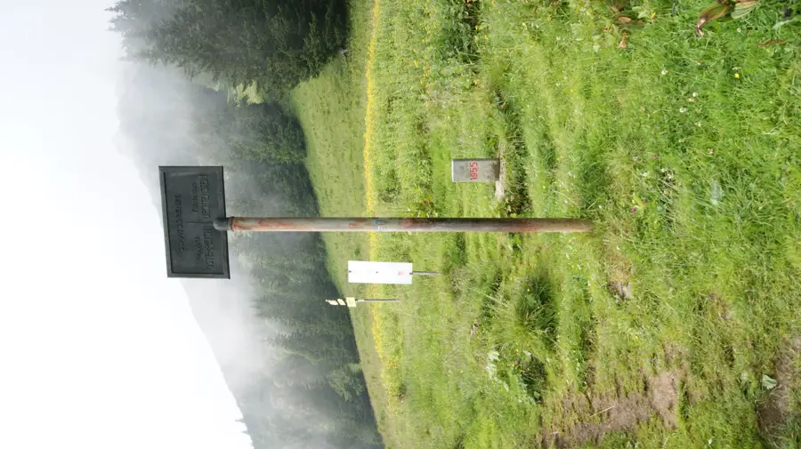
- Provides direct access to the Historic Highland Trail of the Eschnerberg.
- Offers long-distance views of the Alpstein peaks in Switzerland.
Explore nearby
Notable places around
Route planner — Car & Motorhome
Where do you start? We build the route here, with stops and country notes along the way.
© OpenStreetMap contributors · OpenRouteService
Sights in the town Rüttistein (9)
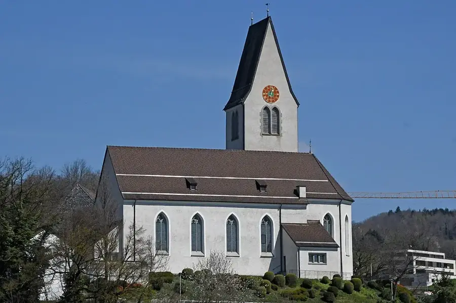
Sankt Sebastian und Rochus
Church in Liechtenstein, dedicated to Saints Sebastian and Rochus. Place of worship for the community.
Musikschule
Music education institution in Liechtenstein. Lessons for various instruments and singing.
Friedhofskapelle St. Johannes
Funeral chapel at the cemetery of Schaan, Liechtenstein. A place for mourning and reflection.
Römerstrasse
Archaeological site in Liechtenstein. Remains of a Roman road.
Saroja
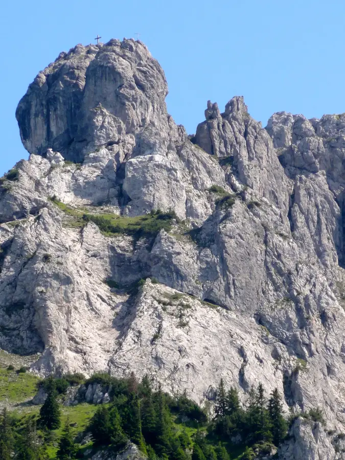
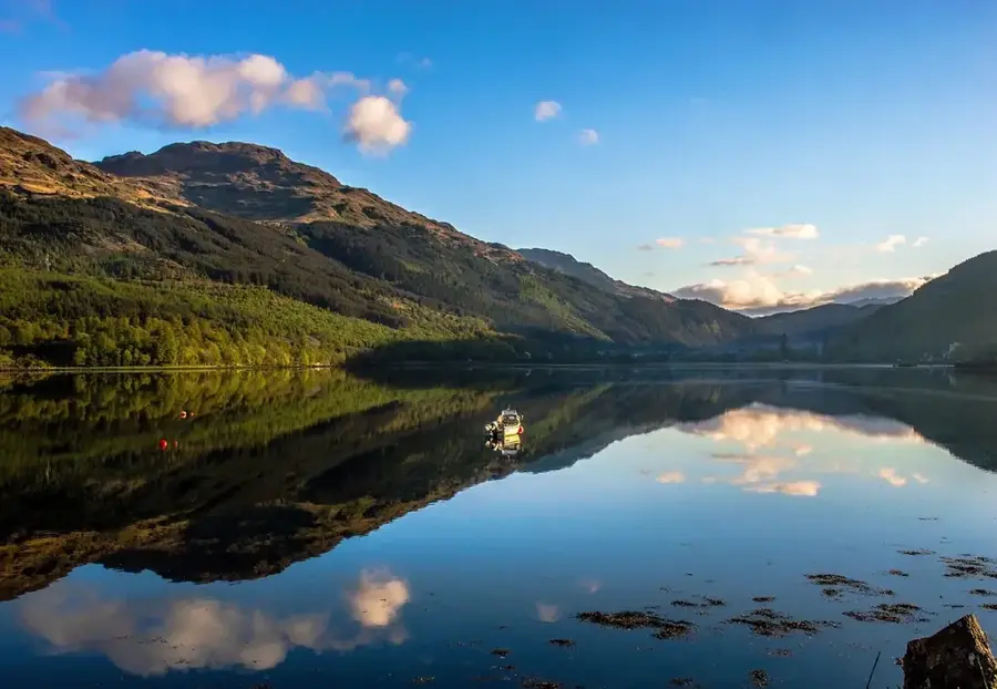
Mountain in the Rätikon on the Vorarlberg/Liechtenstein border. Popular hiking destination.
Frequently asked questions
Where is Rüttistein located?
What can you do in the surroundings of Rüttistein?
Is there public transport to Rüttistein?
Is the region family-friendly?
When is the best time for a visit?
Rüttistein: where is it located?
Rüttistein: what is there to see?
Rüttistein: when is the best time to visit?
Rüttistein: why is it worth visiting?

Nearby cities

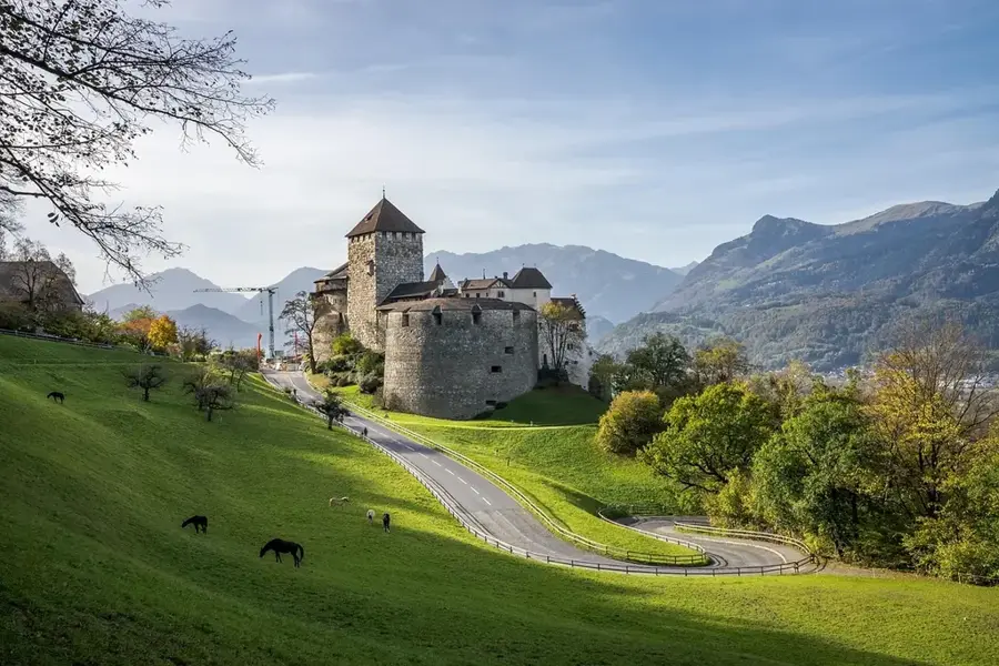
History & landmarks
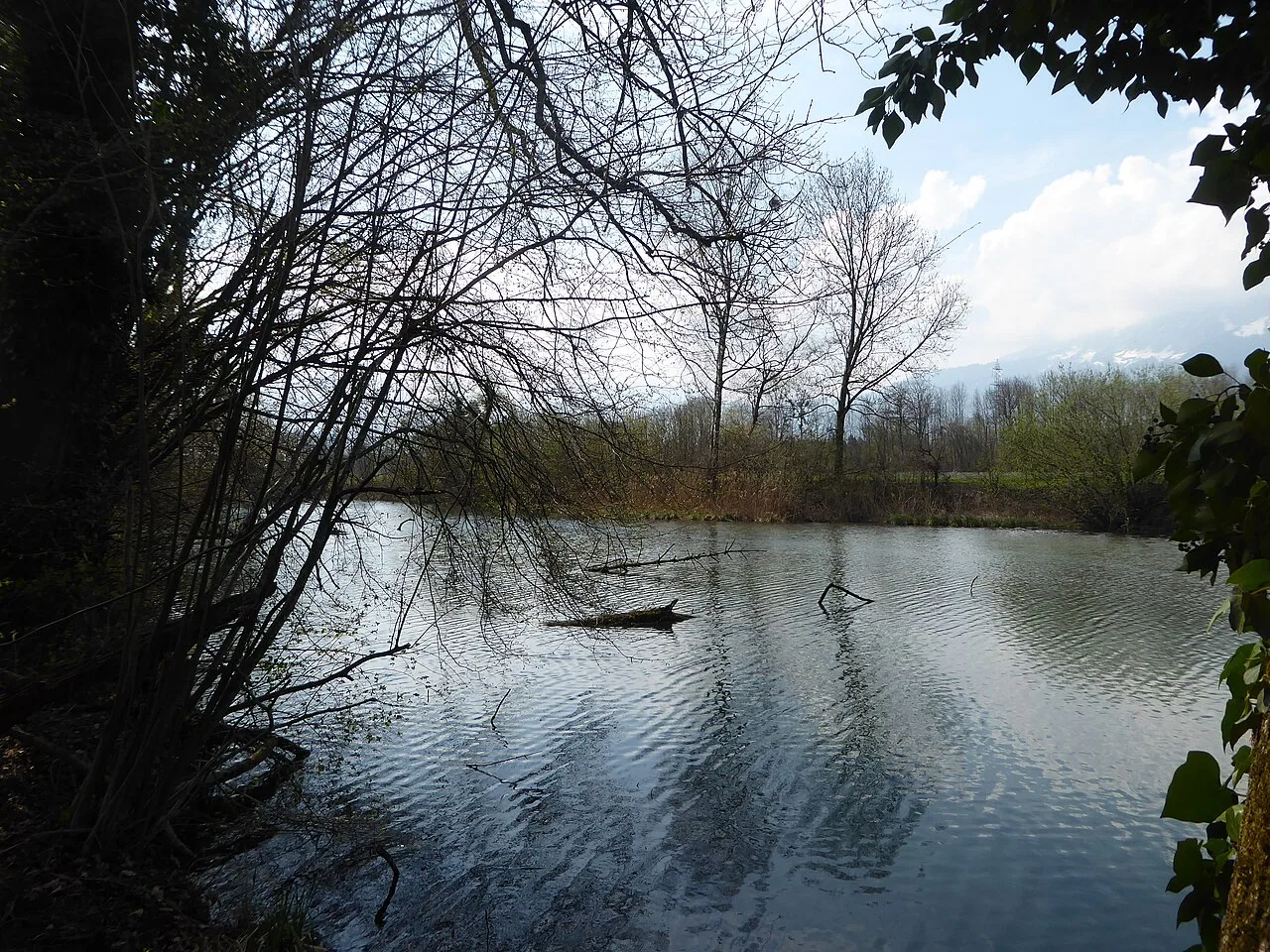
Nature
More places