Plizio Visual Lab
Sarir Tanezrouft

Weather…
Water temperature…
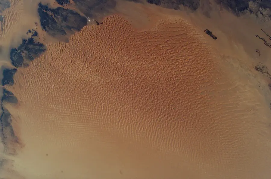
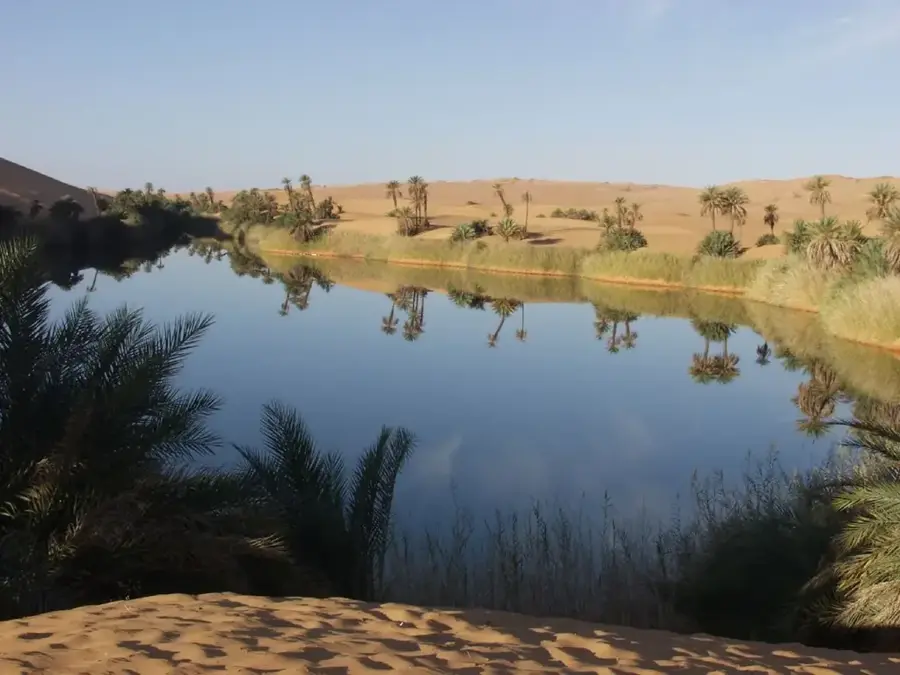
The Sarir Tanezrouft, often called the 'Land of Terror', is one of the most extreme and hostile regions of the Sahara, spanning the borders of Libya, Algeria, and Mali. In Libya, this part is known as a vast gravel and scree desert (Sarir), characterized by its absolute flatness and the almost total absence of landmarks or water sources. The landscape was created by the millennia-long erosion of mountain ranges, whose remains now cover the surface only as fine gravel. There is practically no vegetation and no permanent inhabitants, which has always made traversing it a life-threatening undertaking. Geologically, the Sarir is a sedimentary platform whipped by extreme winds that carry away the few fine particles. For researchers, the region is a laboratory for hyper-arid conditions and features insights into physical weathering under extreme temperature fluctuations. Despite the emptiness, the Sarir Tanezrouft is an important part of the Sahara's ecological fabric, serving as a massive reflective surface for solar radiation.
Best time to visit & climate
The most pleasant time to visit is Mar, Apr, Nov.
| Jan | Feb | Mar | Apr | May | Jun | Jul | Aug | Sep | Oct | Nov | Dec | |
|---|---|---|---|---|---|---|---|---|---|---|---|---|
| Avg °C | 11 | 14 | 19 | 24 | 29 | 32 | 32 | 32 | 30 | 25 | 18 | 12 |
| Rain mm | 1 | 3 | 2 | 1 | 3 | 3 | 0 | 0 | 2 | 5 | 1 | 2 |
📋 Practical info
Geography
Facts
- Tanezrouft means 'Land of Thirst' or 'Terror' in the Berber language.
- The region is among the flattest areas on the Earth's surface.
- There are no oases and no permanent wells in this region.
- The evaporation rate is hundreds of times higher than the rainfall amount.
- The Sarir consists of polished pebbles, often black or brown in color.
- Archaeological finds of stone tools prove earlier humid phases.
Explore nearby
Notable places around
Route planner — Car & Motorhome
Where do you start? We build the route here, with stops and country notes along the way.
© OpenStreetMap contributors · OpenRouteService
Sights nearby
Frequently asked questions
What is Sarir Tanezrouft?
Are there marked paths through the desert?
Can water be found there?
Why do people cross this area?
How is the visibility in Tanezrouft?
Sarir Tanezrouft: where is it located?
Sarir Tanezrouft: when is the best time to visit?
Sarir Tanezrouft: why is it worth visiting?

Nearby cities
History & landmarks
Nature
More places