Plizio Visual Lab
Tiji

ℹ️Practical info — Tiji
▾
🌤 Weather — 5 days
📍 Nearby
Sights nearby
💡 Tips
- Renting a sturdy 4x4 vehicle is recommended for navigating the rougher mountain roads in the area.
- Evenings can be noticeably cooler due to the elevation, so pack a light jacket.
- Learning a few basic Arabic or Amazigh greetings will be greatly appreciated by the locals.
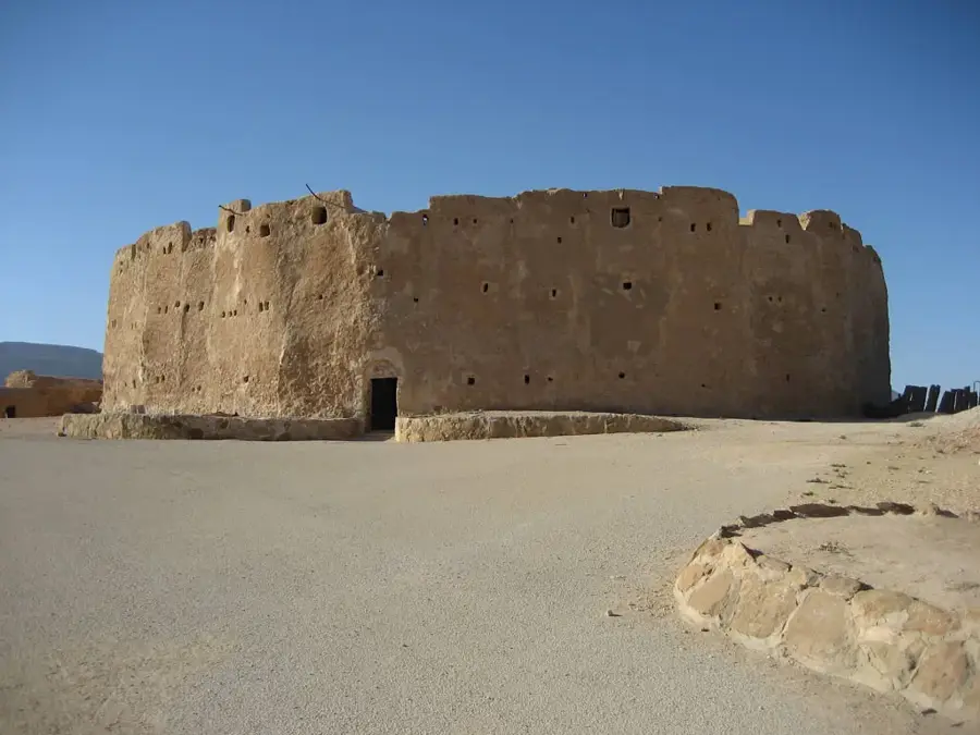
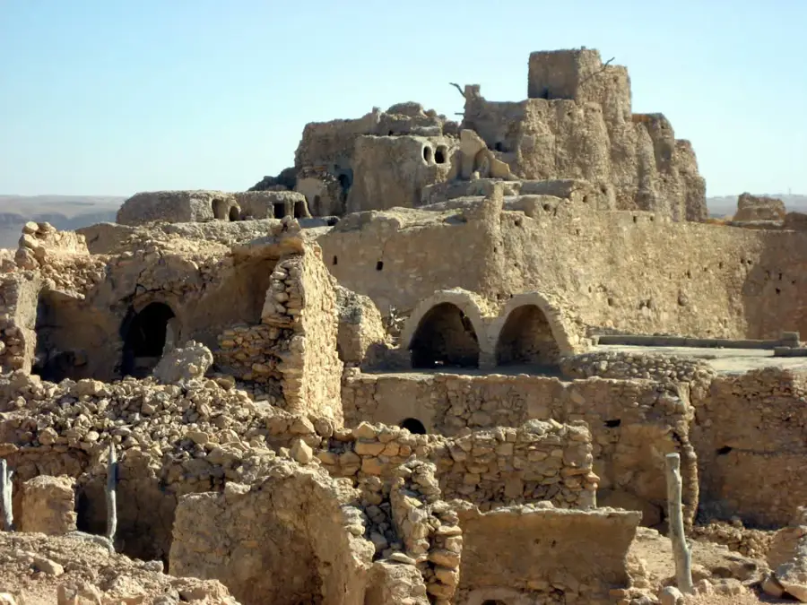
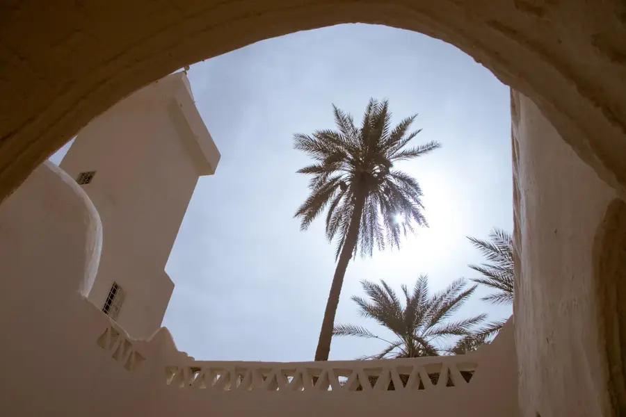
- Explore the unique traditional architecture adapted to the rugged Nafusa Mountains landscape.
🍽 Food
Taste the robust, locally produced olive oil, often served with warm flatbread for breakfast.
Look for local mountain eateries serving slow-cooked lamb and vegetable stews.
Pick up freshly baked, traditional flatbreads directly from the small local bakeries.
🛍 Shopping · 🧘 Quiet spots
Buy bottles of high-quality olive oil directly from local presses or mountain farmers.
Look for locally woven wool products and traditional garments in small village shops.
Take a quiet hike in the foothills surrounding the town for sweeping views of the plains.
Walk among the ancient, gnarled olive trees that dot the terraced hillsides.
Water temperature…
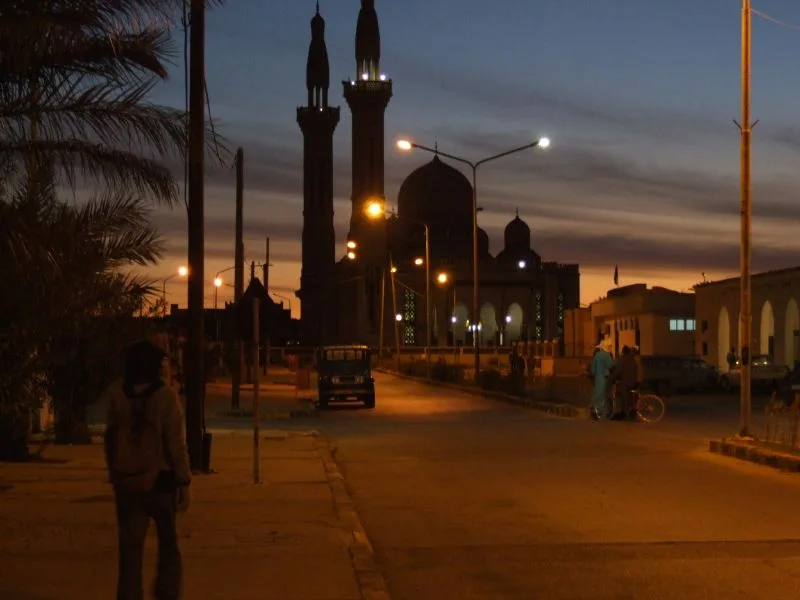
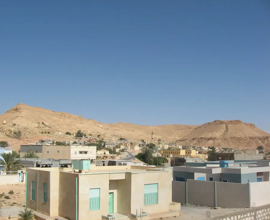
Tiji is a significant town in northwestern Libya, located within the Nalut District in the expansive Jafara Plain. Situated at the base of the Nafusa Mountains, the town serves as a vital agricultural and administrative hub for the surrounding rural territory. The climate in Tiji is semi-arid, yet its location on the plain facilitates the intensive cultivation of cereals, olives, and livestock fodder through the utilization of underground aquifers. Tiji holds strategic importance due to its position along the major transport route connecting the capital, Tripoli, with the western border regions near Tunisia. The local population is composed of a mix of various tribal groups, contributing to a diverse social fabric within the community. In recent history, Tiji's geographical importance has frequently placed it at the center of regional developments and conflicts, impacting the pace of infrastructural growth. Today, the town focuses on expanding its agricultural output and enhancing public services for its residents through modernized irrigation systems. Its proximity to the highlands also has potential for studying the unique geology and desert flora of western Libya.
- Location: Libya
- Nearby: Badr (19 km)
- Population: ~6.905 (2023)
Best time to visit & climate
The most pleasant time to visit is Apr, May, Oct.
| Jan | Feb | Mar | Apr | May | Jun | Jul | Aug | Sep | Oct | Nov | Dec | |
|---|---|---|---|---|---|---|---|---|---|---|---|---|
| Avg °C | 9 | 11 | 15 | 19 | 24 | 28 | 30 | 30 | 27 | 22 | 16 | 11 |
| Rain mm | 23 | 29 | 21 | 7 | 5 | 2 | 0 | 1 | 12 | 20 | 22 | 29 |
Geography
Facts
- Tiji is located on the Jafara Plain at the base of the Nafusa Mountains.
- The town acts as a regional center for cereal and grain production.
- Tiji is situated approximately 200 kilometers southwest of Tripoli.
- Significant groundwater reserves support the area's agricultural activities.
- Key transportation routes to Tunisia pass through the town's vicinity.
- Olive groves are a prominent feature of the landscape surrounding Tiji.
Explore nearby
Notable places around
Route planner — Car & Motorhome
Where do you start? We build the route here, with stops and country notes along the way.
© OpenStreetMap contributors · OpenRouteService
Frequently asked questions
Where is Tiji located?
What is the economic basis of Tiji?
Is Tiji developed for tourism?
How is the road connection?
Is there medical care there?
Tiji: where is it located?
Tiji: when is the best time to visit?
Tiji: why is it worth visiting?

Nearby cities
More places