Plizio Visual Lab
Saint Paul River
Weather…
Water temperature…
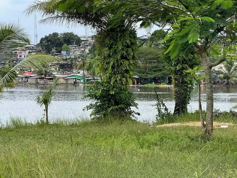
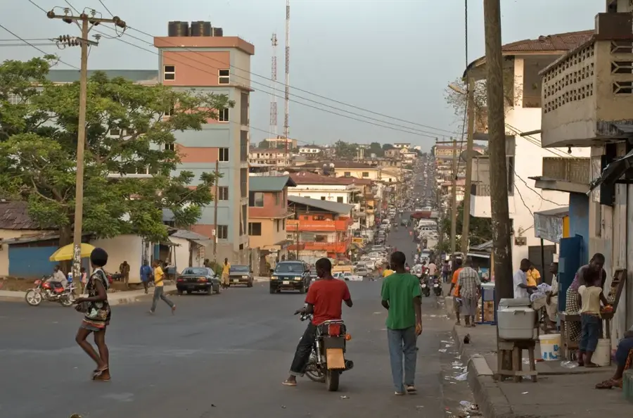
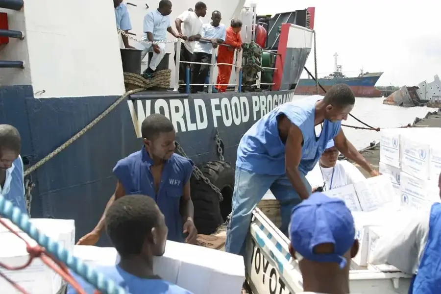
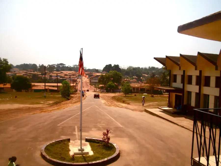
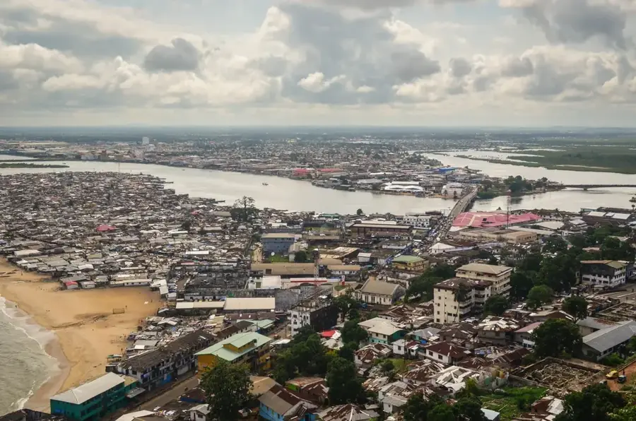
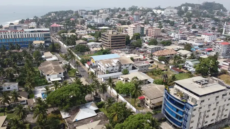
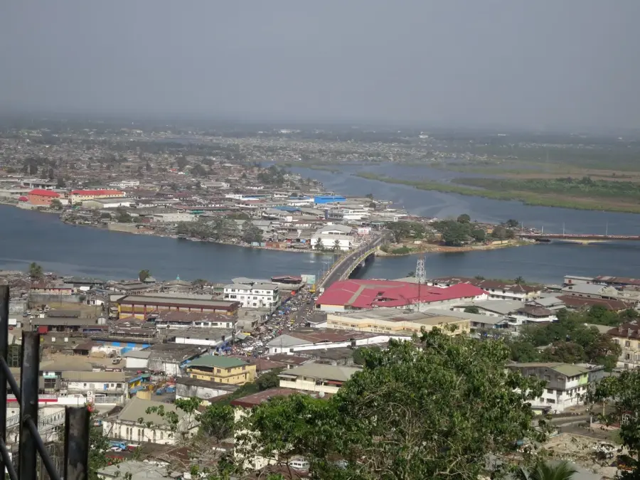
The Saint Paul River is a prominent waterway in West Africa, originating in the highlands of Guinea and flowing 276 kilometers to its mouth at the Atlantic Ocean near Monrovia, Liberia. The river is a cornerstone of Liberia's national infrastructure, primarily due to the Mount Coffee Hydropower Project, which provides a significant portion of the country's electricity. Its course meanders through lush tropical rainforests, and in its navigable lower reaches, it serves as a vital transportation route for local communities engaged in trade and fishing. The river's delta region is marked by extensive mangrove swamps, which act as a crucial nursery for marine life and a sanctuary for diverse bird species. Historically, the Saint Paul River was instrumental for early settlers in accessing the interior of the country. Today, it has scenic beauty and opportunities for boat excursions, allowing visitors to experience the animated riverine culture and the rich biodiversity that thrives along its banks.
- Location: Liberia
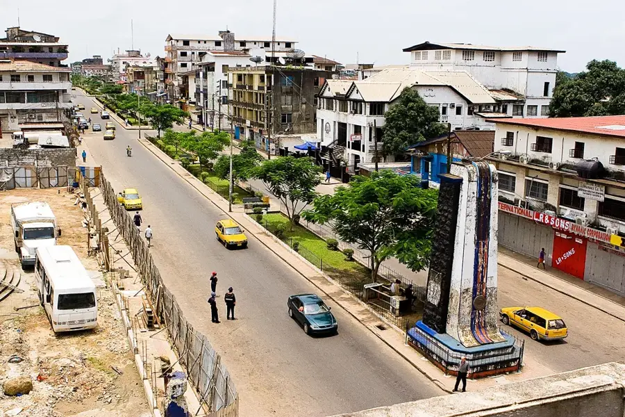
- Top sights: Gabriel Johnson Tucker Bridge · National Museum of Liberia · City Town Hall
- Nearby: Paynesville (9 km)
Best time to visit & climate
The most pleasant time to visit is Jan, Feb, Dec.
| Jan | Feb | Mar | Apr | May | Jun | Jul | Aug | Sep | Oct | Nov | Dec | |
|---|---|---|---|---|---|---|---|---|---|---|---|---|
| Avg °C | 27 | 27 | 27 | 28 | 28 | 27 | 26 | 26 | 26 | 27 | 27 | 27 |
| Rain mm | 8 | 16 | 31 | 43 | 100 | 216 | 237 | 361 | 246 | 190 | 72 | 33 |
📋 Practical info
Geography
Facts
- Length: 500 km
- Basin area: 20,000 km²
- Hydropower capacity: 88 MW
- Annual average discharge: 250 m³/s
- Fish species: 70
- Distance from source to mouth: 500 km
Explore nearby
Notable places around
Route planner — Car & Motorhome
Where do you start? We build the route here, with stops and country notes along the way.
© OpenStreetMap contributors · OpenRouteService
Sights in the town Saint Paul River (6)
Episcopal Church
The church houses a school in Liberia.
Sacred Heart Cathedral Church
The cathedral building is located in Liberia.
Sights nearby
Frequently asked questions
What is the Saint Paul River known for?
Are there waterfalls on the river?
Can you go on fishing trips?
How is the water quality?
Are there bridges over the river?
Saint Paul River: where is it located?
Saint Paul River: what is there to see?
Saint Paul River: when is the best time to visit?
Saint Paul River: why is it worth visiting?

Nearby cities


History & landmarks

Nature
More places