Plizio Visual Lab
San-Tash Pass
Weather…
Water temperature…
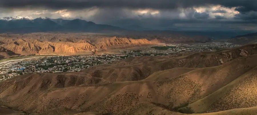
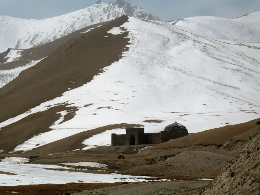
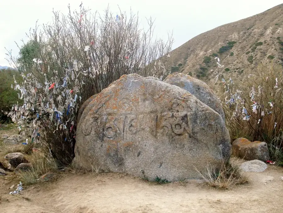
The San-Tash Pass, situated at an elevation of 2,195 meters in northeastern Kyrgyzstan, is home to one of Central Asia's most poignant historical monuments. The pass is famous for a massive, man-made mound of boulders linked to the legendary conqueror Tamerlane. According to tradition, before embarking on a military campaign, Tamerlane ordered every soldier to place a stone in a pile. Upon their return, each survivor took one stone back; the remaining stones formed a permanent memorial to those who perished in battle. The name 'San-Tash' translates appropriately as 'counting stones.' Archaeologically, the mound serves as a silent witness to the centuries of migration and trade along the Silk Road. The surrounding landscape provides dramatic views of the Tian-Shan mountain range and serves as a gateway between the Issyk-Kul basin and the Karkara Valley. For travelers, San-Tash represents a unique intersection of archaeology and folklore, set against the starkly beautiful backdrop of the high Kyrgyz mountains.
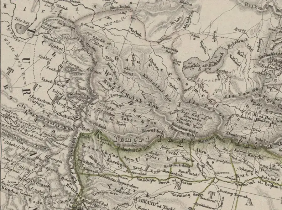
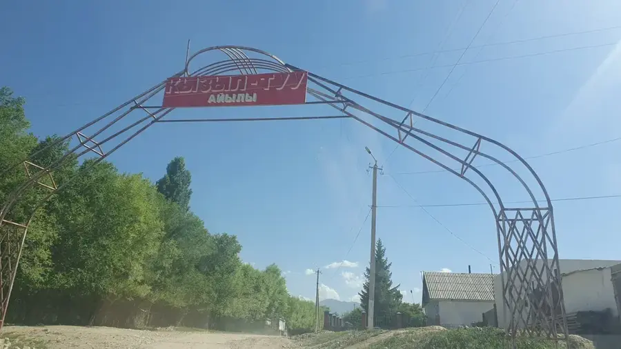
- Location: Kyrgyzstan
- Nearby: Altyn-Arashan (48 km)
Best time to visit & climate
The most pleasant time to visit is Jun–Aug.
| Jan | Feb | Mar | Apr | May | Jun | Jul | Aug | Sep | Oct | Nov | Dec | |
|---|---|---|---|---|---|---|---|---|---|---|---|---|
| Avg °C | -7 | -4 | 2 | 7 | 11 | 16 | 18 | 17 | 12 | 6 | 0 | -5 |
| Rain mm | 14 | 18 | 26 | 47 | 50 | 50 | 38 | 35 | 27 | 28 | 28 | 17 |
📋 Practical info
Geography
Facts
- The pass is at an elevation of 3,200 meters.
- The stone cairns stretch over 3 kilometers.
- The battle occurred in the 17th-18th centuries.
- Over 3,000 cairns are estimated to exist.
- Each cairn contains 100 to 200 stones.
- The pass is located in Ak-Suu District, Issyk-Kul Region.
Explore nearby
Notable places around
Route planner — Car & Motorhome
Where do you start? We build the route here, with stops and country notes along the way.
© OpenStreetMap contributors · OpenRouteService
Sights in the town San-Tash Pass (1)
Sights nearby
Frequently asked questions
What does the name San-Tash mean?
What is the legend of the stone heaps?
Where is the San-Tash Pass located?
Are there archaeological sites there?
When is the pass passable?
San-Tash Pass: where is it located?
San-Tash Pass: when is the best time to visit?
San-Tash Pass: why is it worth visiting?

Nearby cities
History & landmarks
More places