Plizio Visual Lab
Tarbagatai Mountains
Weather…
Water temperature…
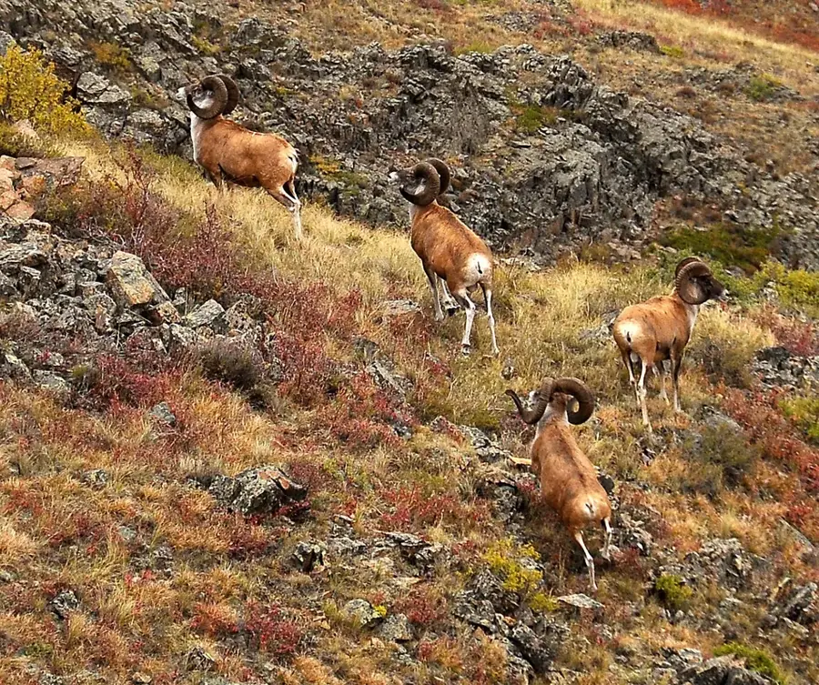
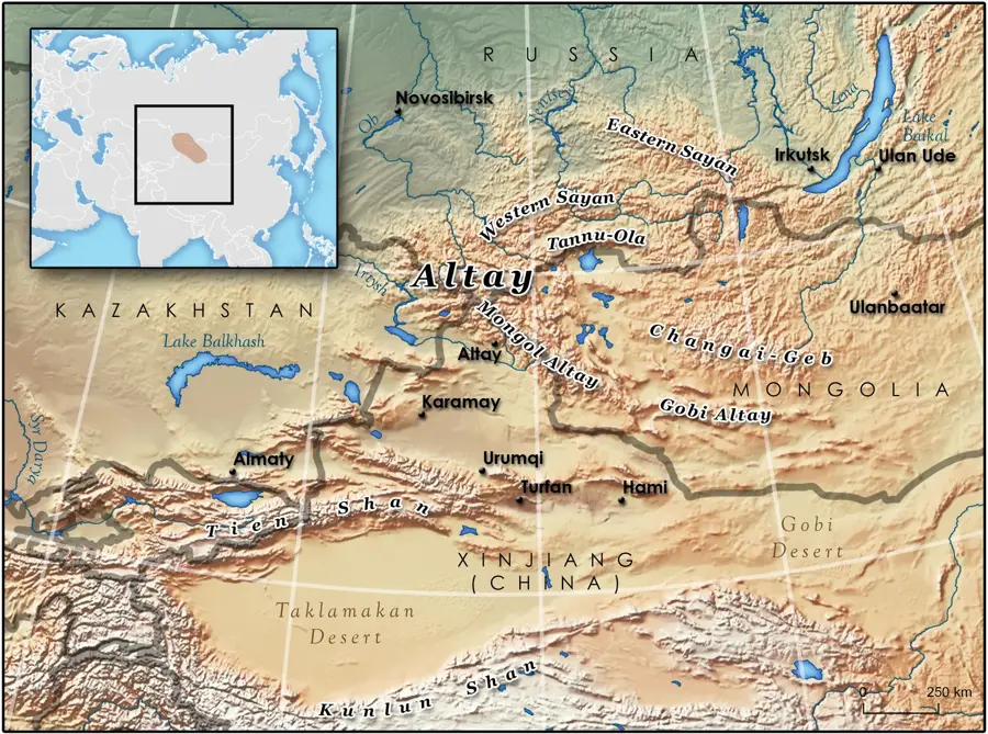
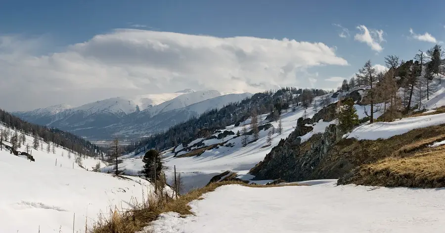
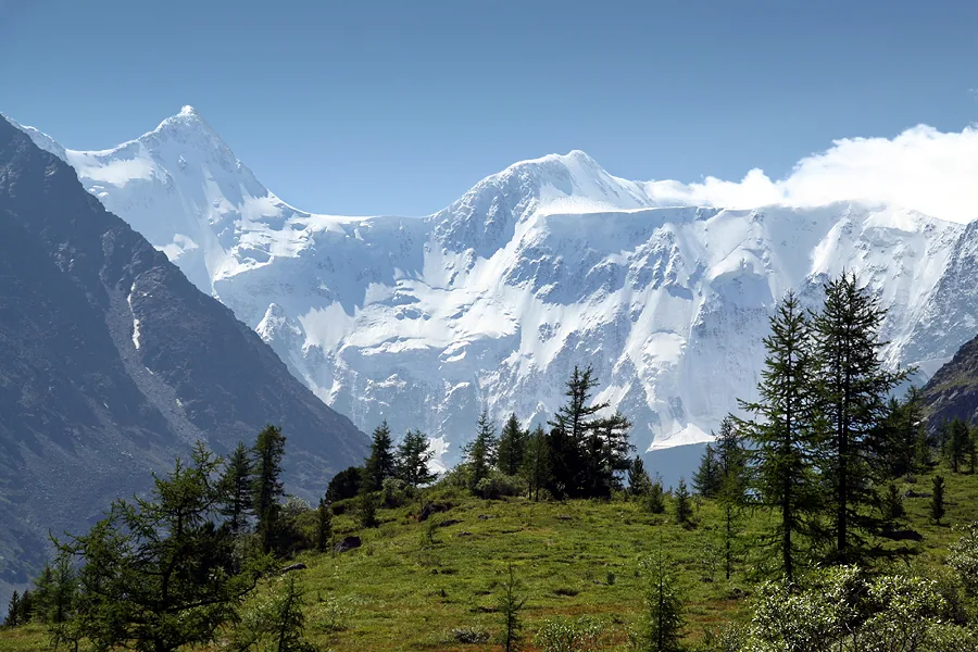
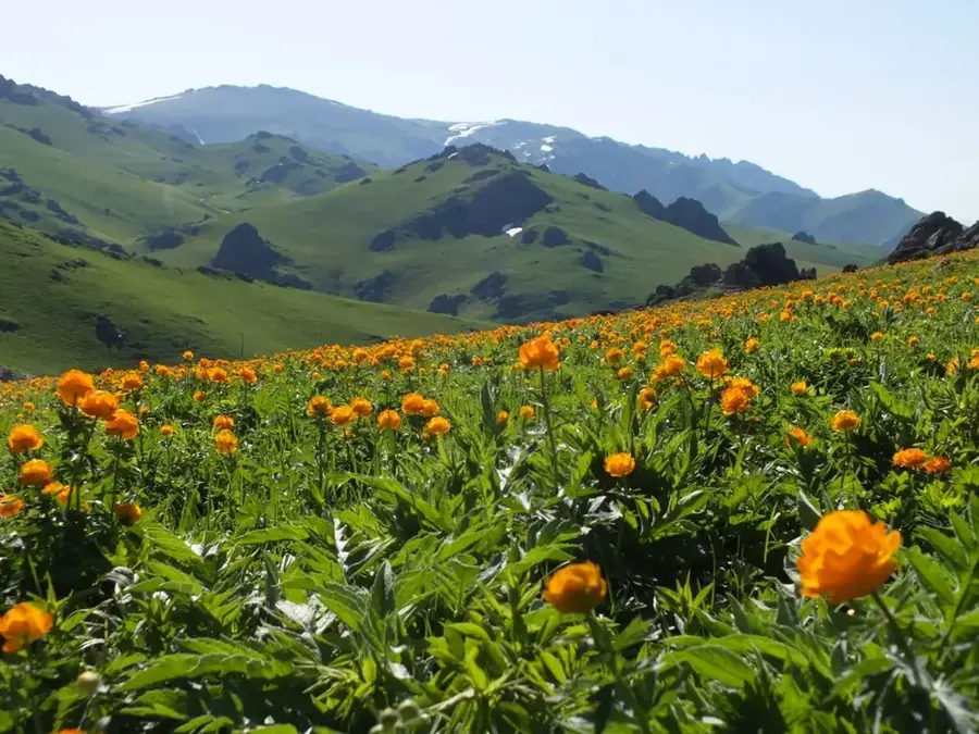
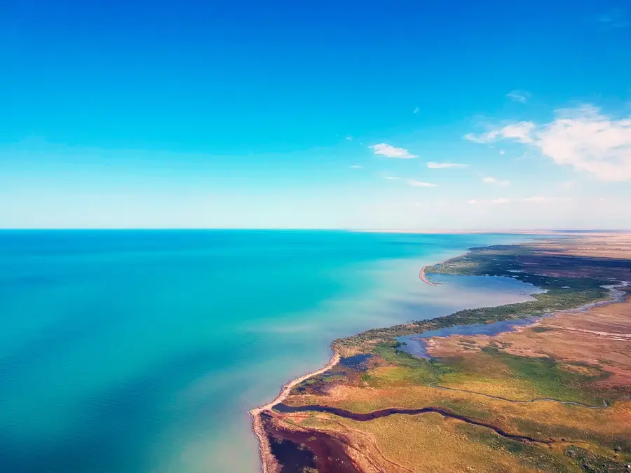
The Tarbagatai Mountains are a mountain range in East Kazakhstan, stretching for about 300 kilometers and forming a natural border with China. It serves as a connecting link between the Altai Mountains to the north and the Dzungarian Alatau to the south. Although not as high as its famous neighbors, the highest peak, Tastau, reaches 2,992 meters, the Tarbagatai is known for its unique flora and fauna. It represents a transitional zone between the Siberian taiga and the Central Asian deserts, resulting in a rich mix of plant species. The slopes are covered with steppe grasses, shrubs, and, at higher elevations, larch forests. The region is relatively sparsely populated and less explored than other mountains in Kazakhstan, but it gives pristine landscapes and is an important habitat for animals like the argali (giant wild sheep) and the golden eagle.
- Location: Kazakhstan
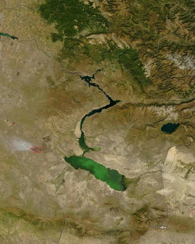
- Nearby: Lake Alakol (30 km)
Best time to visit & climate
The most pleasant time to visit is Jun–Aug.
| Jan | Feb | Mar | Apr | May | Jun | Jul | Aug | Sep | Oct | Nov | Dec | |
|---|---|---|---|---|---|---|---|---|---|---|---|---|
| Avg °C | -11 | -8 | 0 | 9 | 15 | 21 | 23 | 22 | 15 | 7 | -2 | -9 |
| Rain mm | 30 | 24 | 25 | 30 | 28 | 30 | 28 | 19 | 19 | 30 | 41 | 34 |
📋 Practical info
Geography
Explore nearby
Notable places around
Route planner — Car & Motorhome
Where do you start? We build the route here, with stops and country notes along the way.
© OpenStreetMap contributors · OpenRouteService
Sights nearby
Frequently asked questions
How difficult is hiking in the Tarbagatai Mountains?
When is the best time to visit?
Is a border permit required?
Are there marked hiking trails?
What animals can be seen here?
Tarbagatai Mountains: where is it located?
Tarbagatai Mountains: when is the best time to visit?
Tarbagatai Mountains: why is it worth visiting?

Nature
More places