Plizio Visual Lab
Ustyurt Plateau
Weather…
Water temperature…
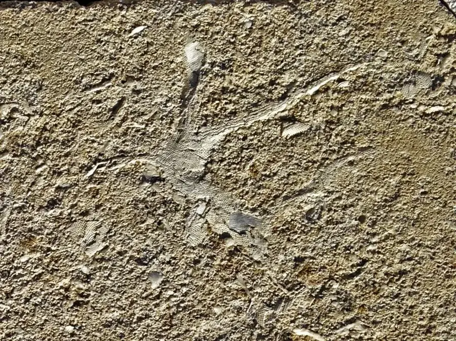
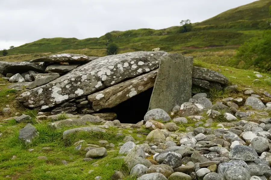
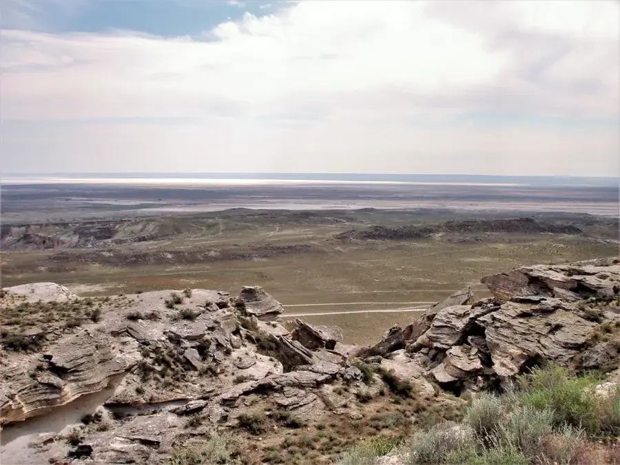
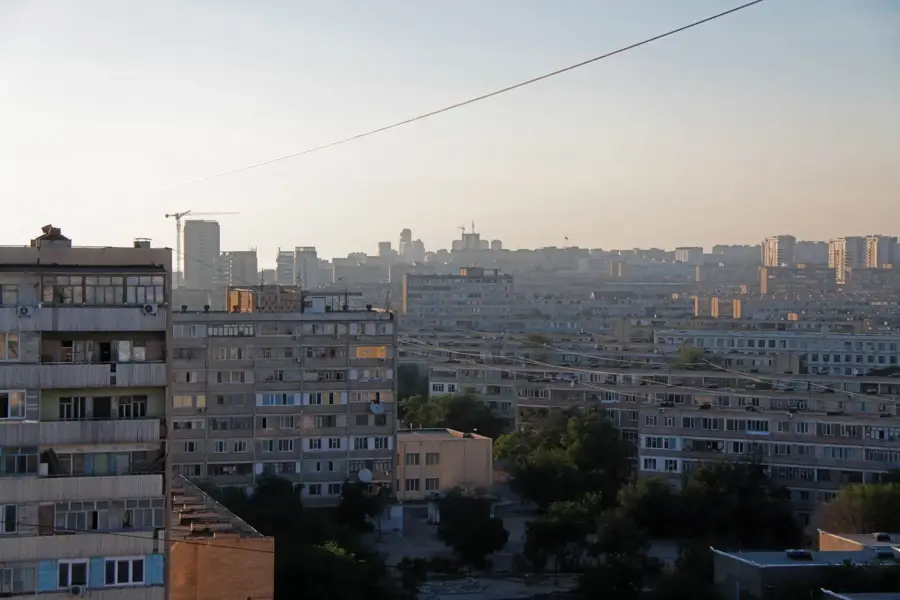
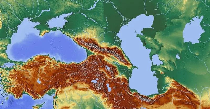
The Ustyurt Plateau is a vast, arid upland stretching between the Aral Sea and the Caspian Sea across Uzbekistan and Kazakhstan. With an average elevation of about 200 meters above sea level, the plateau is characterized by steep escarpments (chinks) and a barren landscape dominated by clay and salt deserts. Geologically, it is composed of marine sediments that testify to the existence of the ancient Tethys Ocean and contain numerous fossils. The region is known for its extreme climatic conditions, featuring harsh winters and scorching summers. Despite the hostile environment, the plateau serves as a migration route for the saiga antelope and hosts specialized species such as the desert monitor. Archaeologically, Ustyurt is significant for mysterious stone structures known as 'dragon arrows,' whose exact purpose remains a subject of debate. The development of gas and oil deposits has significantly altered the once-pristine wilderness in recent years.
Best time to visit & climate
The most pleasant time to visit is May, Jun, Sep.
| Jan | Feb | Mar | Apr | May | Jun | Jul | Aug | Sep | Oct | Nov | Dec | |
|---|---|---|---|---|---|---|---|---|---|---|---|---|
| Avg °C | -3 | -2 | 5 | 12 | 21 | 27 | 30 | 28 | 21 | 12 | 3 | -2 |
| Rain mm | 10 | 8 | 21 | 21 | 16 | 9 | 9 | 2 | 5 | 7 | 13 | 10 |
📋 Practical info
Geography
Facts
- The plateau covers an area of approximately 200,000 square kilometers.
- Saiga antelopes utilize the plateau for their annual migration cycles.
- Marine fossils of sharks and mollusks are widely scattered across the surface.
- The 'dragon arrows' are V-shaped stone walls believed to be ancient hunting traps.
- In winter, temperatures on the Ustyurt can drop below -40 degrees Celsius.
- Large areas of the plateau are nearly devoid of vegetation due to high salt levels.
Explore nearby
Notable places around
Route planner — Car & Motorhome
Where do you start? We build the route here, with stops and country notes along the way.
© OpenStreetMap contributors · OpenRouteService
Sights nearby
Frequently asked questions
What is the Ustyurt Plateau?
How do you prepare for a trip there?
What attractions are there on the plateau?
Are there wild animals there?
What is the climate like?
Ustyurt Plateau: where is it located?
Ustyurt Plateau: when is the best time to visit?
Ustyurt Plateau: why is it worth visiting?

History & landmarks

Nature
More places