Plizio Visual Lab
Karagiye Depression
Weather…
Water temperature…
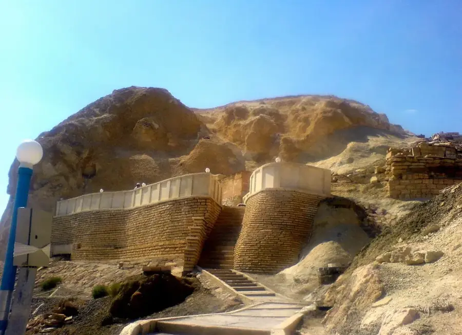
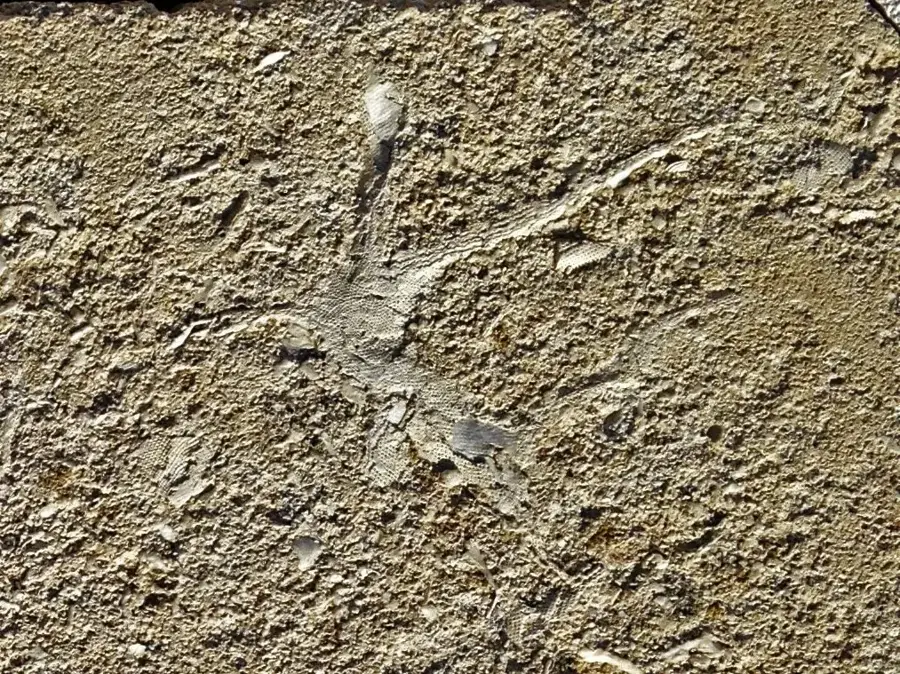
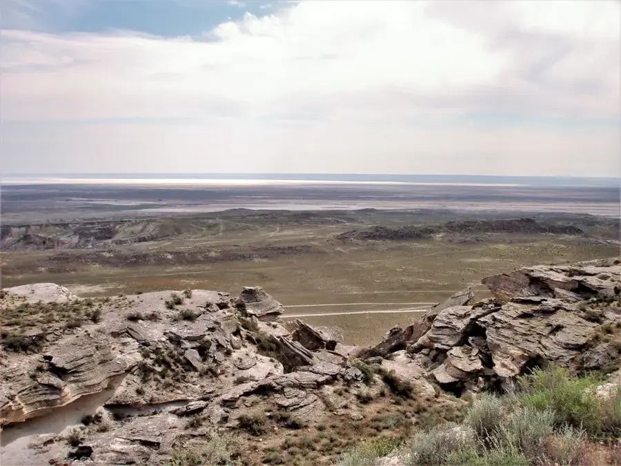
The Karagiye Depression, located on the Mangyshlak Peninsula, is one of the deepest dry depressions in the world. Its lowest point is 132 meters below sea level, making it the lowest point in Kazakhstan and the entire former Soviet Union. The name 'Karagiye' in Turkic languages means 'Black Jaw' or 'Black Abyss', aptly describing the dramatic nature of the place. The depression stretches for about 85 kilometers in length and 25 kilometers in width. It is believed to have formed from the dissolution of limestone, gypsum, and salt, a process known as karstification. The landscape is arid and almost otherworldly, with white salt patches covering the ground and a small, often dry, salt lake called Lake Batyr. Despite the extreme conditions, some adapted animals like mouflon and various reptiles live here.
- Location: Kazakhstan
- Nearby: Aktau (88 km)
Best time to visit & climate
The most pleasant time to visit is May, Jun, Sep.
| Jan | Feb | Mar | Apr | May | Jun | Jul | Aug | Sep | Oct | Nov | Dec | |
|---|---|---|---|---|---|---|---|---|---|---|---|---|
| Avg °C | -2 | 0 | 6 | 13 | 21 | 27 | 30 | 28 | 21 | 13 | 5 | 0 |
| Rain mm | 11 | 7 | 15 | 17 | 12 | 7 | 8 | 5 | 7 | 10 | 15 | 11 |
📋 Practical info
Geography
Explore nearby
Notable places around
Route planner — Car & Motorhome
Where do you start? We build the route here, with stops and country notes along the way.
© OpenStreetMap contributors · OpenRouteService
Sights nearby
Frequently asked questions
How deep is the Karagiye Depression?
Where is the depression located?
What does the name 'Karagiye' mean?
What activities can you do there?
Are there water sources there?
Karagiye Depression: where is it located?
Karagiye Depression: when is the best time to visit?
Karagiye Depression: why is it worth visiting?

History & landmarks

Nature
More places