Plizio Visual Lab
Belqa Plateau
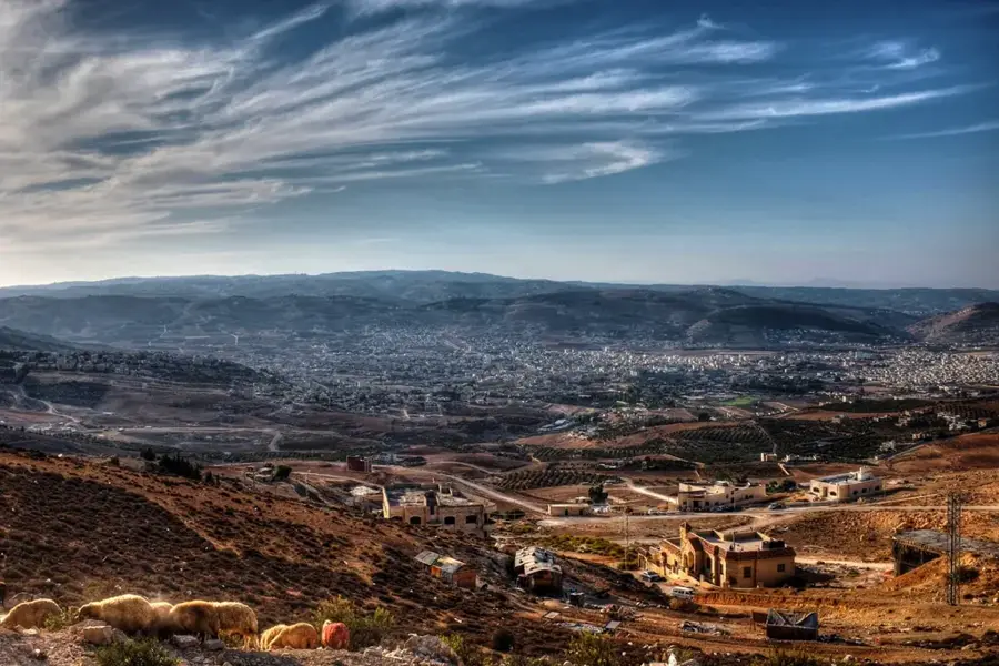
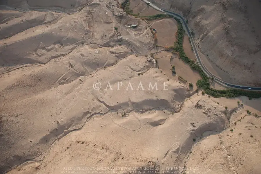
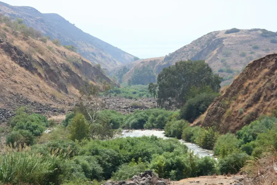
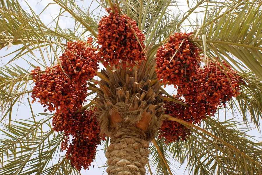
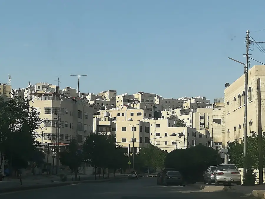
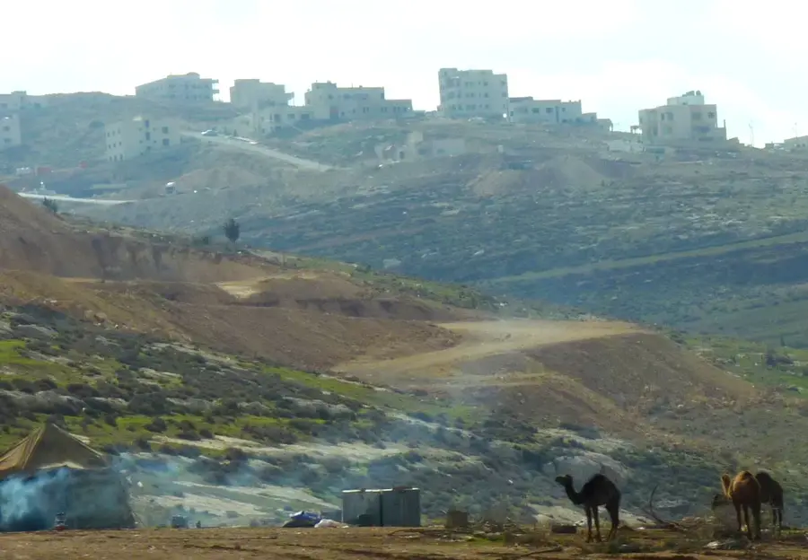
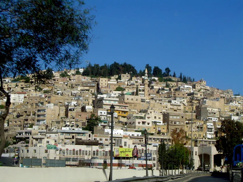
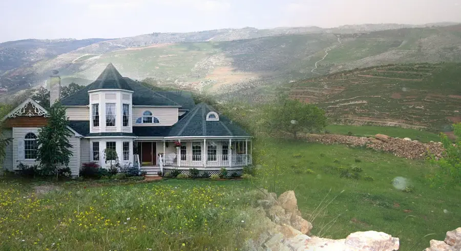
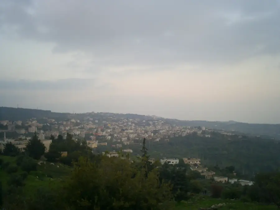
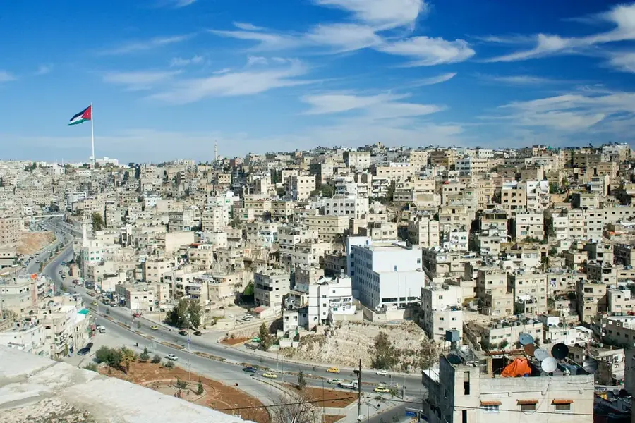
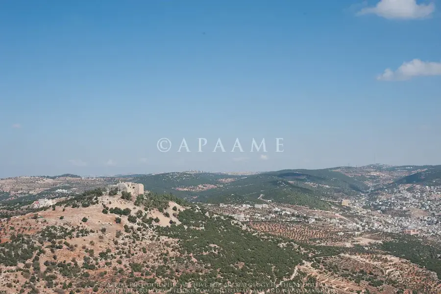
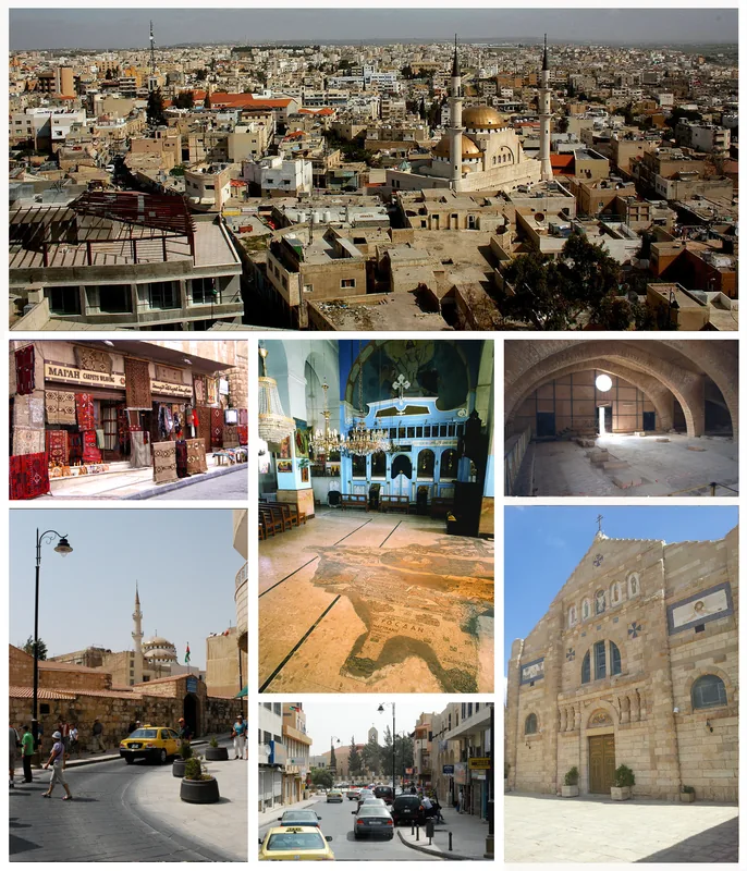
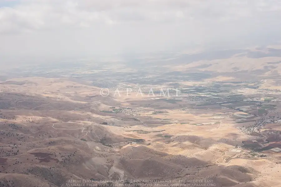
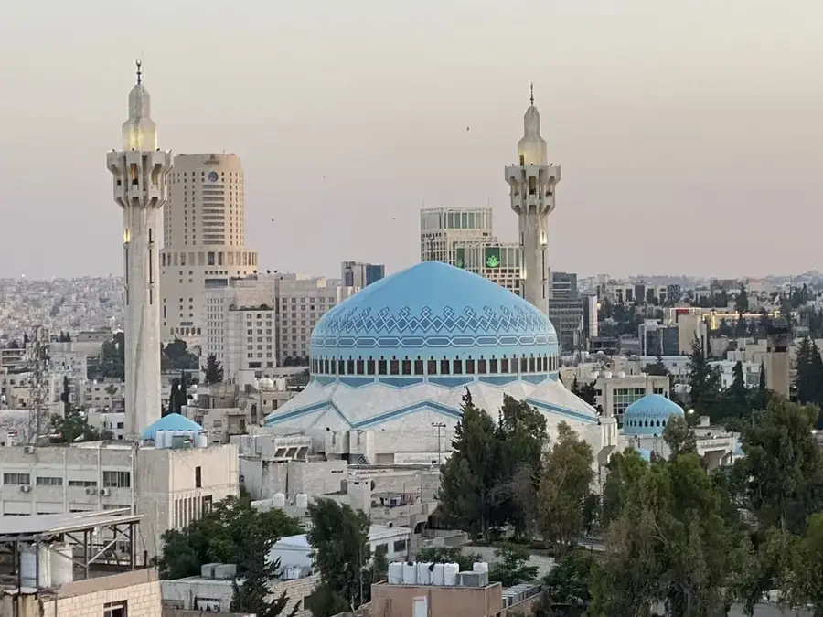
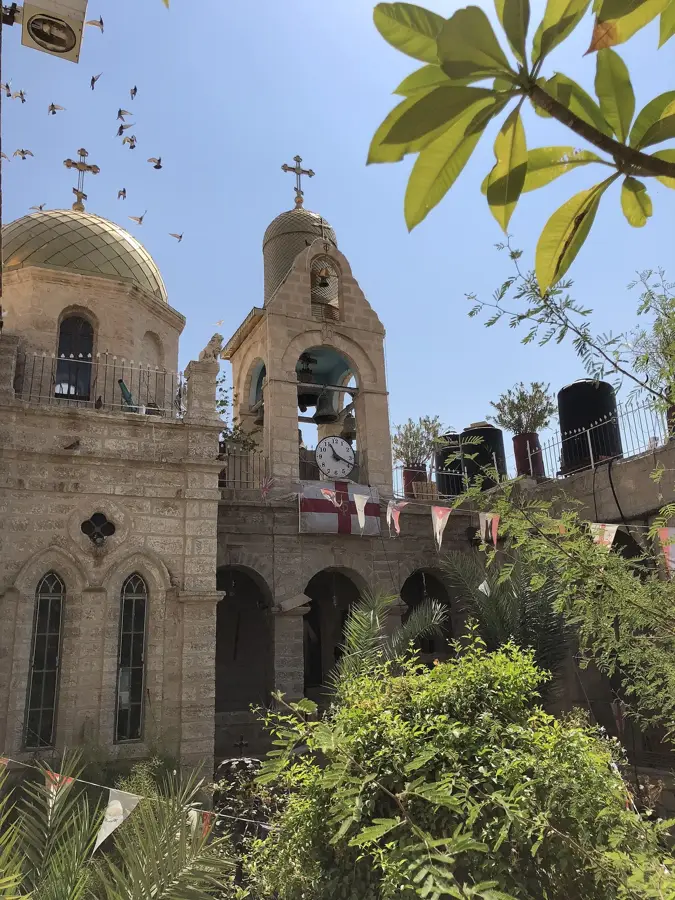
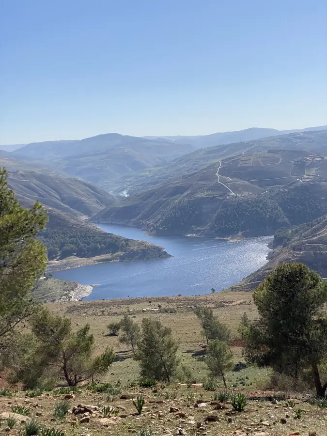
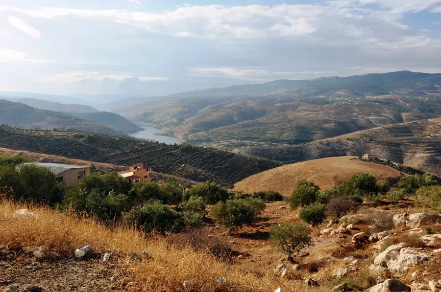
The Belqa Plateau is a central highland region in Jordan, historically and geographically encompassing the area between the Jordan Valley to the west and the desert to the east. With elevations ranging from 700 to 1,100 meters, it enjoys a temperate Mediterranean climate with sufficient rainfall, making it one of the most fertile parts of the country. The city of As-Salt, once the region's primary administrative hub under Ottoman rule, is famous for its distinct yellow limestone architecture and was designated a UNESCO World Heritage site in 2021. Jordan's capital, Amman, is also situated on the edge of this plateau, utilizing its strategic topography of seven hills. Agriculturally, the plateau is vital for the cultivation of olives, grapes, and various grains. Its rugged terrain, dotted with numerous springs and valleys, has encouraged human settlement for millennia. Today, the Belqa Plateau serves as a dynamic center for Jordan's economy, education, and culture, linking the country's historic past with its modern development.
- Location: Jordan
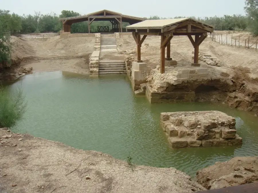
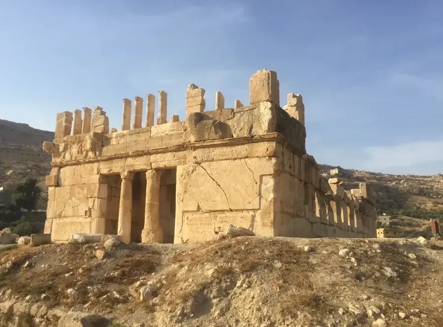
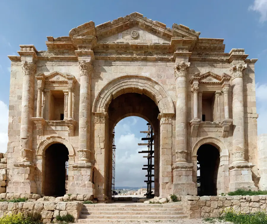
- Top sights: Khirbet Gal'ad · Khirbat Zayy · Al Sahn
- Nearby: Fuheis (5 km)
Best time to visit & climate
The most pleasant time to visit is Apr, May, Oct.
| Jan | Feb | Mar | Apr | May | Jun | Jul | Aug | Sep | Oct | Nov | Dec | |
|---|---|---|---|---|---|---|---|---|---|---|---|---|
| Avg °C | 11 | 13 | 16 | 20 | 24 | 28 | 30 | 30 | 28 | 24 | 18 | 14 |
| Rain mm | 63 | 58 | 32 | 15 | 6 | 1 | 0 | 1 | 1 | 8 | 29 | 52 |
📋 Practical info
Geography
Facts
- The city of As-Salt was named a UNESCO World Heritage site in 2021
- The plateau's elevation ranges from 700 to 1,100 meters
- Annual rainfall on the plateau can reach up to 600 mm
- Amman, the capital city, is located on the edge of the plateau
- The region was a major administrative center during the Ottoman era
- The area is well-known for its high-quality olive oil production
Explore nearby
Notable places around
Route planner — Car & Motorhome
Where do you start? We build the route here, with stops and country notes along the way.
© OpenStreetMap contributors · OpenRouteService
Sights in the town Belqa Plateau (8)
Sights nearby
Frequently asked questions
What is the Belqa Plateau?
What can you experience here?
Is it good for day trips?
What is there to see historically?
When is the best time for a visit?
Belqa Plateau: where is it located?
Belqa Plateau: what is there to see?
Belqa Plateau: when is the best time to visit?
Belqa Plateau: why is it worth visiting?

Nearby cities
History & landmarks
Nature
More places