Plizio Visual Lab
Amman Plateau
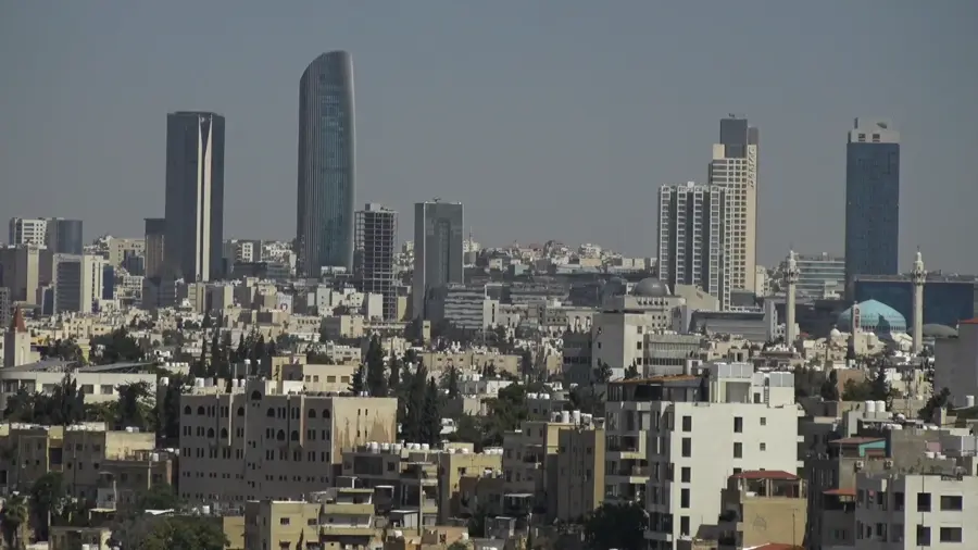
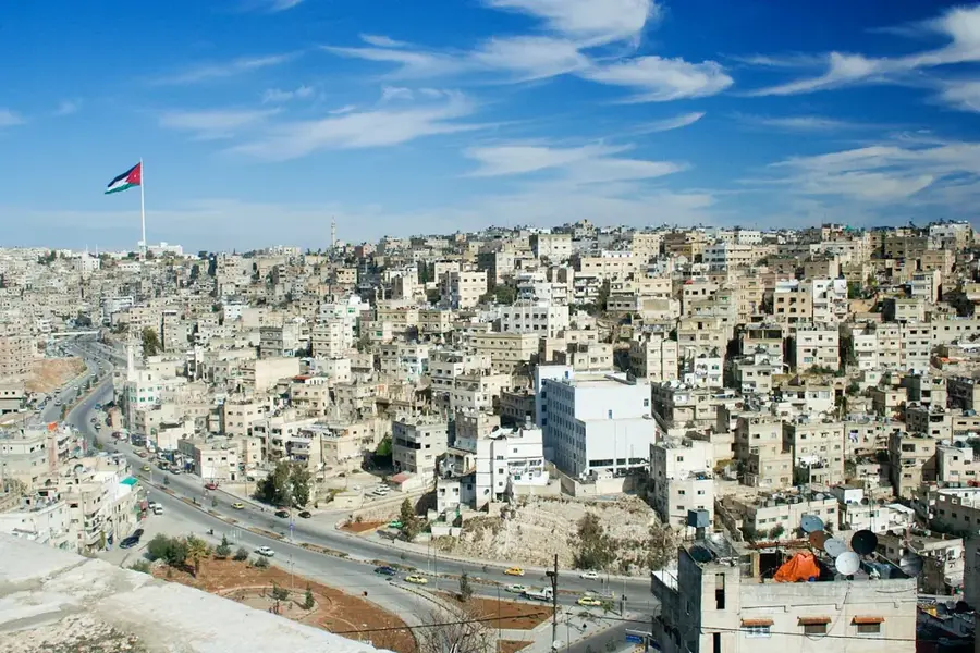
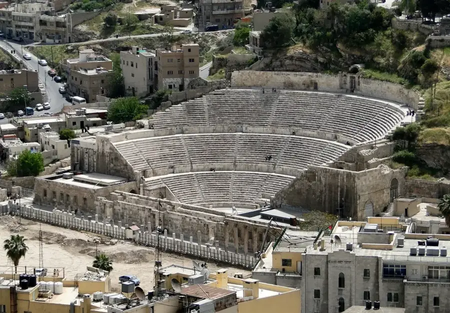
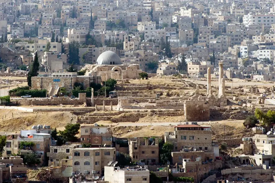
The Amman Plateau is situated in northwestern Jordan and forms the topographical foundation for the capital city, Amman, and its surrounding areas. Geologically, the plateau is part of the central highlands, sloping gently eastward into the Syrian Desert while dropping sharply westward towards the Jordan Rift Valley and the Dead Sea. The region sits at an average elevation ranging from 700 to 1,100 meters above sea level and is characterized by a series of limestone hills and deeply incised valleys known as wadis. Historically, the plateau provided well-suited settlement conditions for ancient cultures such as the Ammonites due to its temperate climate and strategic position between the desert and the fertile Jordan Valley. Modern urban development has significantly altered the original topography, with Amman's original seven hills now almost entirely built upon. The plateau serves as a vital catchment area, where seasonal rainfall is critical for local agriculture and the water supply of the rapidly expanding metropolitan region.
- Location: Jordan
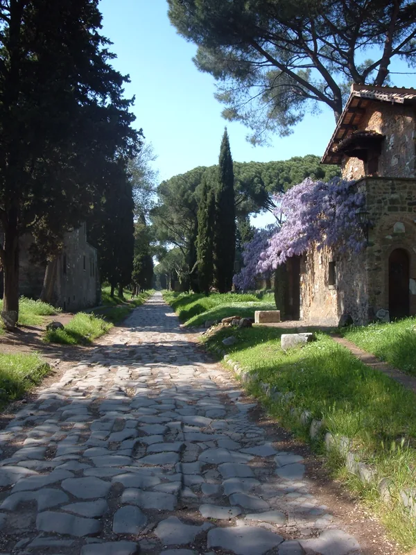
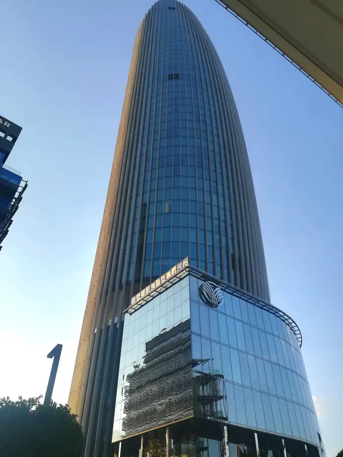
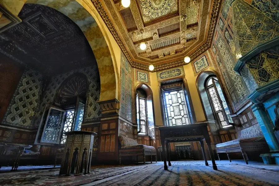
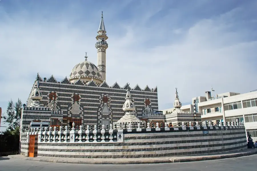
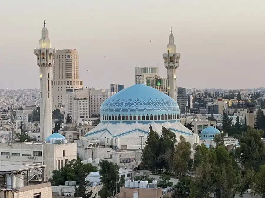
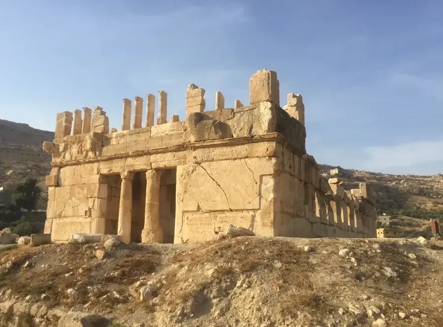
- Top sights: Beit Shkair · Scale colorate · Husseini Mosque
- Nearby: Sahab (11 km)
Best time to visit & climate
The most pleasant time to visit is May, Sep, Oct.
| Jan | Feb | Mar | Apr | May | Jun | Jul | Aug | Sep | Oct | Nov | Dec | |
|---|---|---|---|---|---|---|---|---|---|---|---|---|
| Avg °C | 8 | 9 | 13 | 17 | 21 | 25 | 27 | 27 | 25 | 21 | 14 | 9 |
| Rain mm | 44 | 43 | 23 | 11 | 4 | 1 | 1 | 1 | 1 | 6 | 18 | 35 |
📋 Practical info
Geography
Facts
- Elevation ranges from 700 to 1,100 meters above sea level
- Part of the central Jordanian highlands system
- Bounded by the Jordan Valley to the west and the desert to the east
- Geological formation consists predominantly of limestone
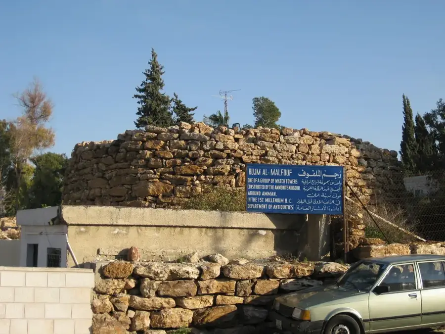
- Strategic settlement site of the Ammonites in the 13th century BC
- Crucial regulator for the local microclimate in the Amman area
Explore nearby
Notable places around
Route planner — Car & Motorhome
Where do you start? We build the route here, with stops and country notes along the way.
© OpenStreetMap contributors · OpenRouteService
Sights in the town Amman Plateau (3)
Sights nearby
Frequently asked questions
How high is the Amman Plateau?
How is the weather compared to the Dead Sea?
What is the heart of the plateau?
Are there ancient ruins?
What is the traffic like?
Amman Plateau: where is it located?
Amman Plateau: what is there to see?
Amman Plateau: when is the best time to visit?
Amman Plateau: why is it worth visiting?

Nearby cities
History & landmarks
More places