Plizio Visual Lab
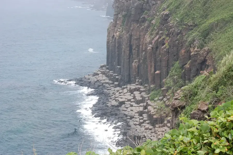
Kujūkushima Islands Coast
Weather…
Water temperature…
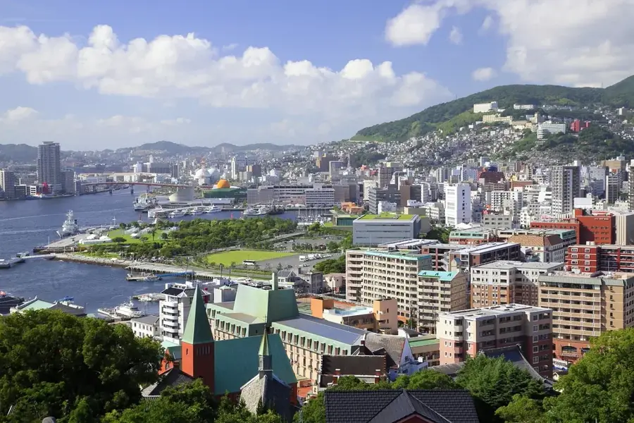
Kujūkushima Islands Coast is a remarkable feature of the geography and culture of Japan. A collection of 208 small islands off the coast of Sasebo. The name means 'ninety-nine islands', symbolizing a large number. Part of Saikai National Park. Known for its scenic sunsets. Most islands are uninhabited. This landform shapes the topography of Japan, between the main islands of Honshu, Hokkaido, Kyushu, and Shikoku, dominated by volcanic mountain ranges. Like many notable places in Japan, it combines regional character with the legacy of the samurai tradition, Shinto and Buddhist heritage, and the modern industrial nation. Thus, this place contributes to the diverse profile of Japan, from Mount Fuji and Tokyo to the volcanic island arc along the Pacific.
- Location: Japan
- Top sights: Mt. Yumihari · Mt. Ishi · R Lt
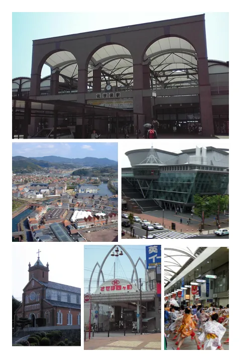
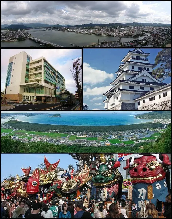
- Nearby: Sasebo (13 km)
Best time to visit & climate
The most pleasant time to visit is May, Oct, Nov.
| Jan | Feb | Mar | Apr | May | Jun | Jul | Aug | Sep | Oct | Nov | Dec | |
|---|---|---|---|---|---|---|---|---|---|---|---|---|
| Avg °C | 9 | 10 | 12 | 16 | 19 | 22 | 26 | 28 | 25 | 21 | 17 | 12 |
| Rain mm | 75 | 98 | 134 | 175 | 190 | 317 | 335 | 235 | 214 | 123 | 106 | 95 |
📋 Practical info
Geography
Facts
- A collection of 208 small islands off the coast of Sasebo. The name means 'ninety-nine islands', symbolizing a large number.
- Located within the island nation of Japan in the North Pacific.
- Plays a role in the local identity of the region.
- Known for its scenic or cultural significance.
Explore nearby
Notable places around
Route planner — Car & Motorhome
Where do you start? We build the route here, with stops and country notes along the way.
© OpenStreetMap contributors · OpenRouteService
Sights in the town Kujūkushima Islands Coast (6)
Sights nearby
Frequently asked questions
What does the name Kujūkushima mean?
Where can you enjoy the best view of the islands?
Are there boat tours through the islands?
What is the Kujūkushima Pearl Sea Resort?
Can you hike on the islands?
Kujūkushima Islands Coast: where is it located?
Kujūkushima Islands Coast: what is there to see?
Kujūkushima Islands Coast: when is the best time to visit?
Kujūkushima Islands Coast: why is it worth visiting?

Nearby cities