Plizio Visual Lab
Kamikōchi Valley
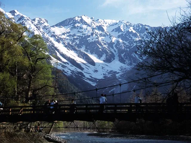
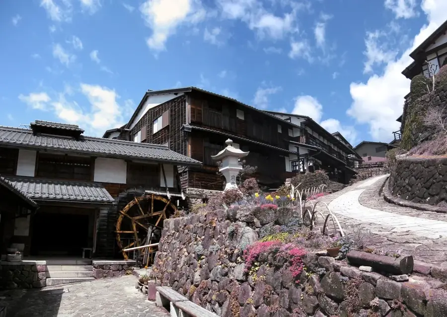
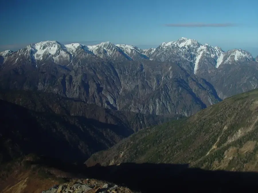
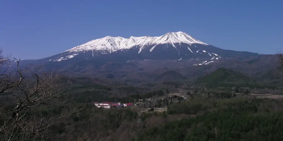
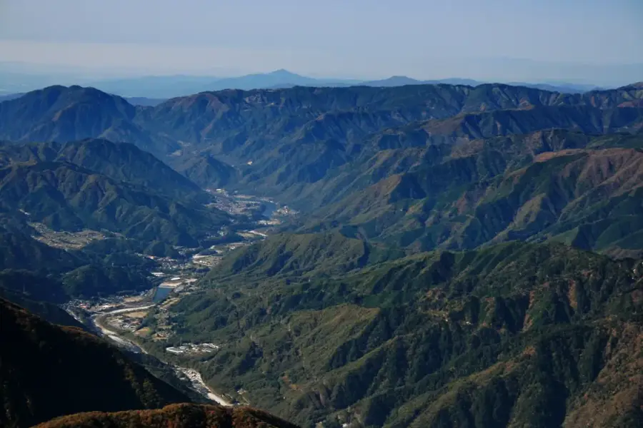
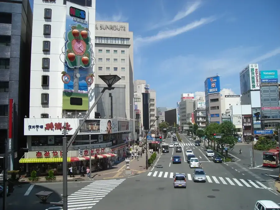
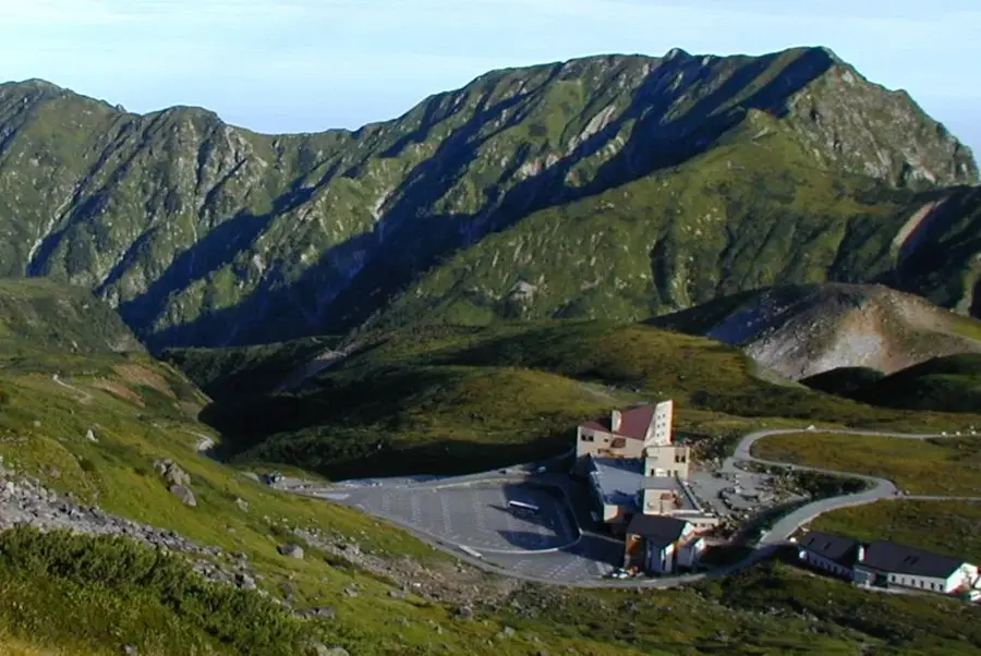
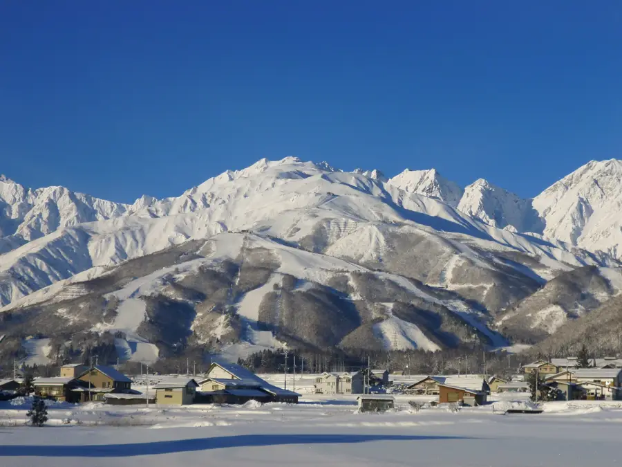
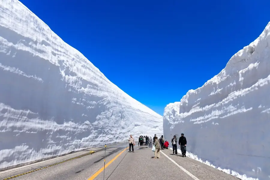
Kamikōchi Valley is a remarkable feature of the geography and culture of Japan. A remote highland valley in the Japanese Alps, renowned for its spectacular scenery along the Azusa River. Located at an altitude of 1,500m. Part of Chūbu-Sangaku National Park. Private cars are forbidden. This landform shapes the topography of Japan, between the main islands of Honshu, Hokkaido, Kyushu, and Shikoku, dominated by volcanic mountain ranges. Like many notable places in Japan, it combines regional character with the legacy of the samurai tradition, Shinto and Buddhist heritage, and the modern industrial nation. Thus, this place contributes to the diverse profile of Japan, from Mount Fuji and Tokyo to the volcanic island arc along the Pacific.
- Location: Japan
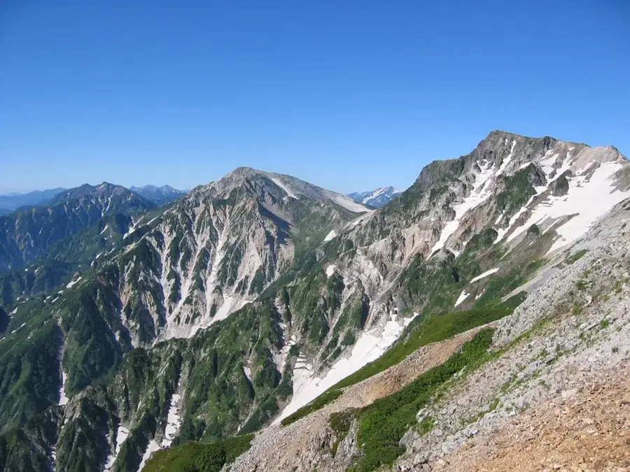
- Top sights: Mount Akandana · Mt Yake viewpoint · Mount Kasumizawa
- Nearby: Tateyama Kurobe (29 km)
Best time to visit & climate
The most pleasant time to visit is Jun–Aug.
| Jan | Feb | Mar | Apr | May | Jun | Jul | Aug | Sep | Oct | Nov | Dec | |
|---|---|---|---|---|---|---|---|---|---|---|---|---|
| Avg °C | -5 | -5 | -1 | 6 | 12 | 16 | 20 | 21 | 17 | 10 | 4 | -2 |
| Rain mm | 158 | 108 | 121 | 112 | 110 | 147 | 226 | 162 | 181 | 159 | 143 | 184 |
📋 Practical info
Geography
Facts
- A remote highland valley in the Japanese Alps, renowned for its spectacular scenery along the Azusa River.
- Located within the island nation of Japan in the North Pacific.
- Plays a role in the local identity of the region.
- Known for its scenic or cultural significance.
Explore nearby
Notable places around
Route planner — Car & Motorhome
Where do you start? We build the route here, with stops and country notes along the way.
© OpenStreetMap contributors · OpenRouteService
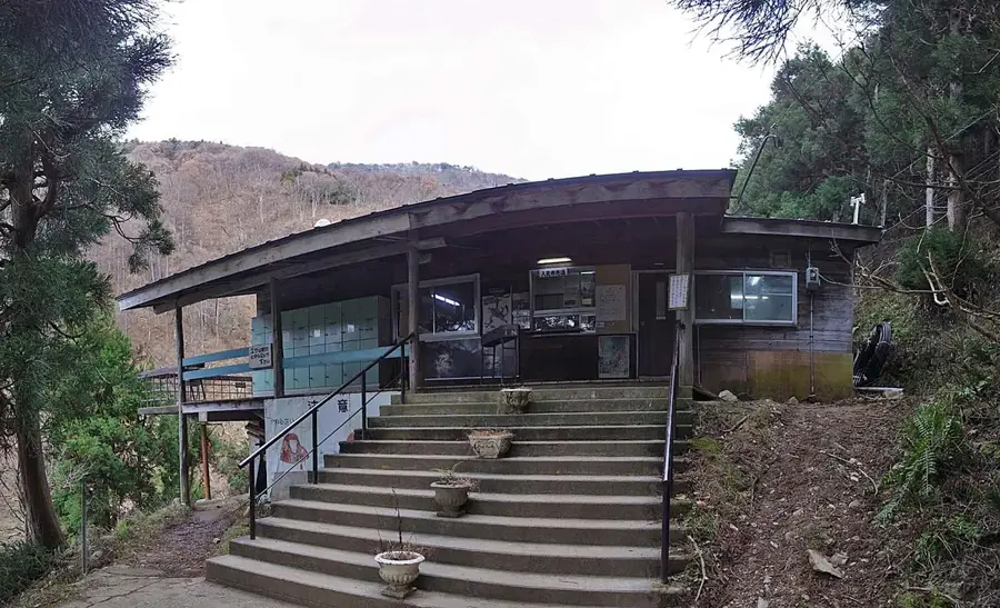
Sights in the town Kamikōchi Valley (6)
Sights nearby
Frequently asked questions
What is Kamikōchi?
Can you drive your own car into Kamikōchi?
When is Kamikōchi open?
What is the landmark of Kamikōchi?
Is the terrain suitable for hiking?
Kamikōchi Valley: where is it located?
Kamikōchi Valley: what is there to see?
Kamikōchi Valley: when is the best time to visit?
Kamikōchi Valley: why is it worth visiting?

Nearby cities
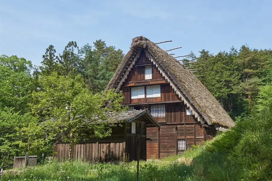
History & landmarks

More places