Plizio Visual Lab
Lake Chūzenji
Weather…
Water temperature…
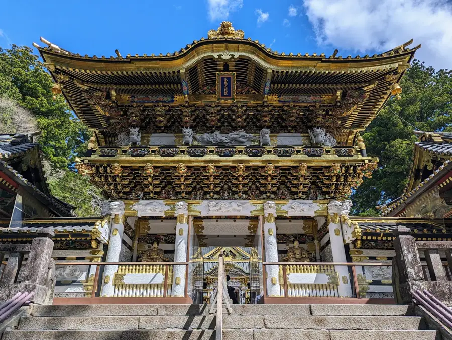
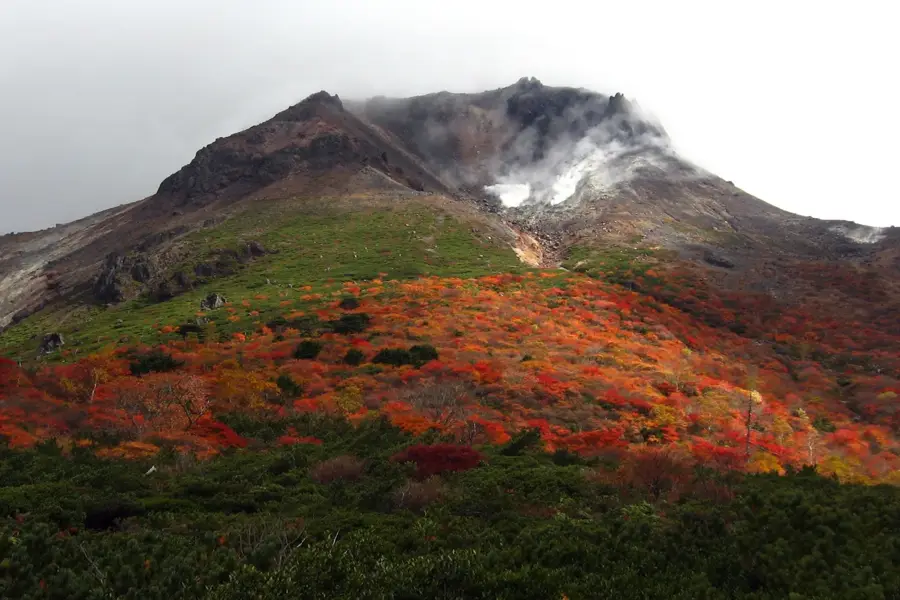
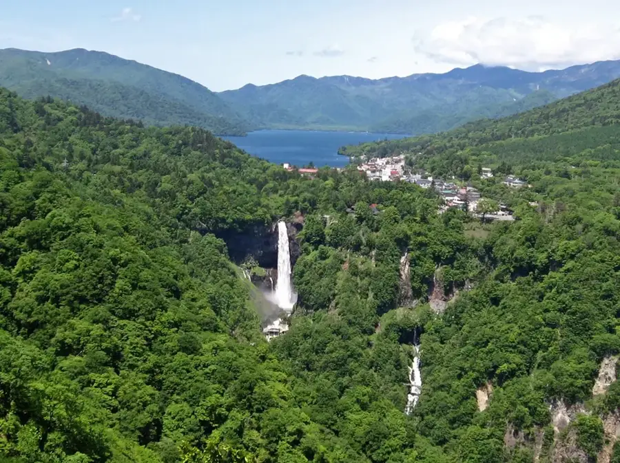
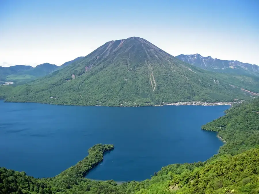
Lake Chūzenji, set in the Nikko National Park in Tochigi Prefecture, is Japan's highest natural lake, situated at an elevation of 1,269 meters. It was created approximately 20,000 years ago when an eruption of Mount Nantai dammed the Daiya River with lava flows. Reaching a depth of 163 meters, the lake's cool, clear waters have made it a prominent spiritual and recreational destination for centuries. It was first documented by the monk Shodo Shonin in 782 AD, who also established the nearby Chuzen-ji Temple. During the late 19th and early 20th centuries, the lake’s shores became a fashionable summer retreat for international diplomats, and several former embassies, such as the Italian and British villas, are now open to the public as museums. The area is globally famous for its autumn colors, which peak in mid-October, drawing crowds to witness the brilliant foliage against the backdrop of Mount Nantai. The lake serves as the source of the majestic Kegon Falls, a nearly 100-meter vertical waterfall that ranks among Japan's most famous natural landmarks. Visitors can enjoy sightseeing cruises across the lake or hike the scenic trails that follow its 25-kilometer shoreline.
- Location: Japan
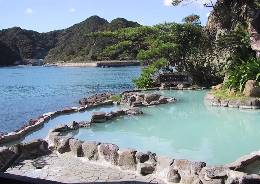
- Top sights: Usagi Shima (Rabbit Island) · Sources of Yumoto Onsen · Odashirogahara Wetland
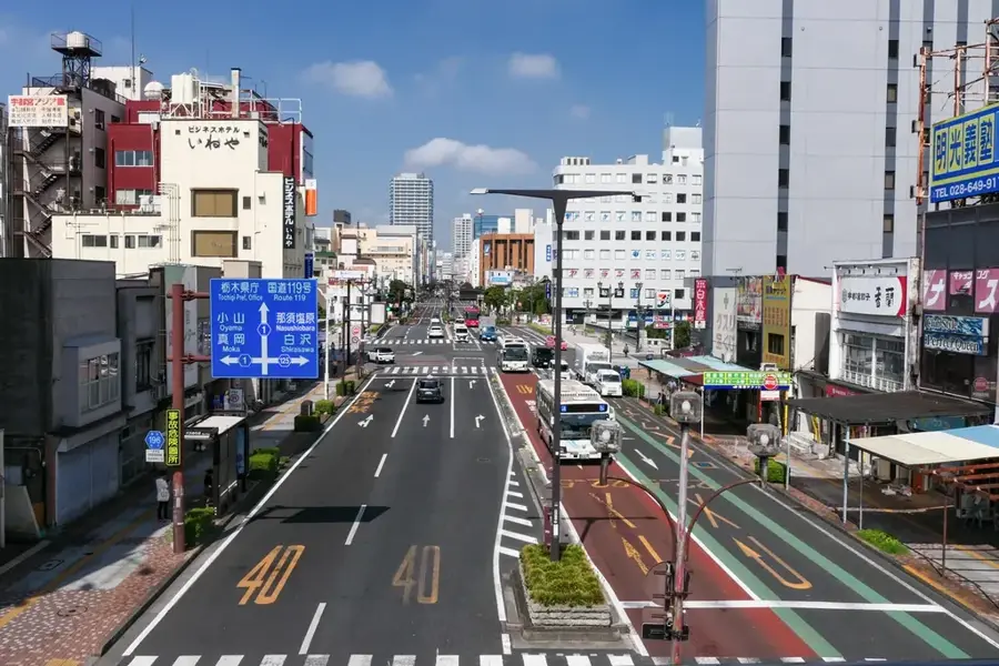
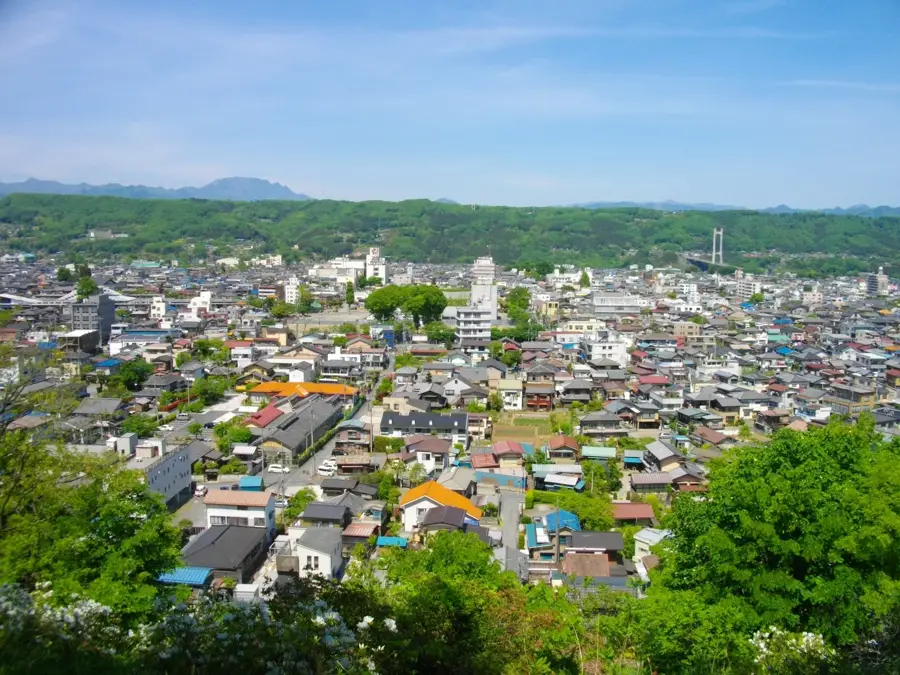
- Nearby: Nikko Kinugawa (29 km)
Best time to visit & climate
The most pleasant time to visit is May, Jun, Sep.
| Jan | Feb | Mar | Apr | May | Jun | Jul | Aug | Sep | Oct | Nov | Dec | |
|---|---|---|---|---|---|---|---|---|---|---|---|---|
| Avg °C | -1 | 0 | 4 | 9 | 15 | 19 | 24 | 24 | 20 | 14 | 8 | 2 |
| Rain mm | 61 | 47 | 82 | 104 | 121 | 155 | 202 | 176 | 198 | 178 | 78 | 66 |
📋 Practical info
Geography
Facts
- Lake Chūzenji is Japan's highest natural lake at 1,269 meters altitude.
- It was formed by a volcanic blockage of the Daiya River 20,000 years ago.
- The lake's deepest point reaches 163 meters below the surface.
- Mount Nantai, the volcano that created the lake, is still considered active.
- The lake's shoreline is approximately 25 kilometers long.
- The Kegon Falls is the only outlet for the lake's water.
Explore nearby
Notable places around
Route planner — Car & Motorhome
Where do you start? We build the route here, with stops and country notes along the way.
© OpenStreetMap contributors · OpenRouteService
Sights in the town Lake Chūzenji (9)
Sights nearby
Frequently asked questions
What is the altitude of Lake Chuzenji?
How was the lake formed?
Are there museums there?
Can you swim in the lake?
How to get from Nikko Station to the lake?
Lake Chūzenji: where is it located?
Lake Chūzenji: what is there to see?
Lake Chūzenji: when is the best time to visit?
Lake Chūzenji: why is it worth visiting?

Nearby cities