Plizio Visual Lab
Monte Camicia
Weather…
Water temperature…
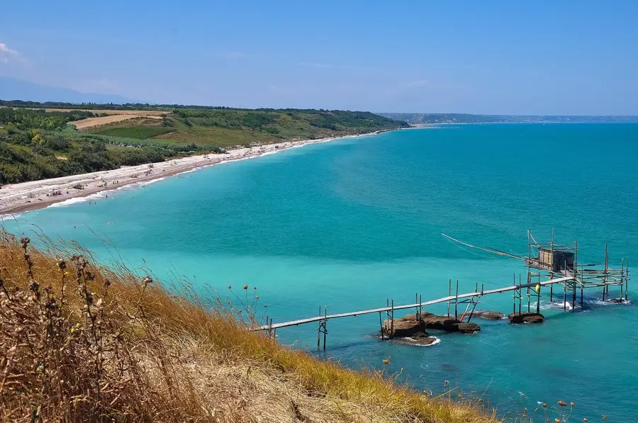
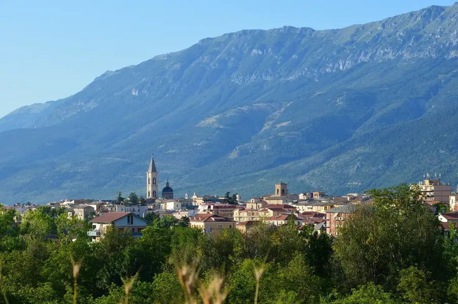
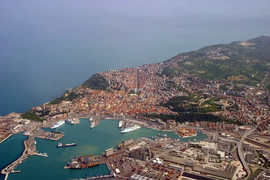
Monte Camicia reaches an elevation of 2564 meters, standing as one of the most iconic peaks of the Gran Sasso d'Italia massif in Abruzzo. It marks the eastern end of the high ridge and is world-renowned for its massive North Face, a vertical limestone precipice over 1000 meters high that drops sharply toward the Teramo side. This face is often referred to as the 'Eiger of the Apennines' due to its scale and difficulty for climbers. Geologically, the mountain is composed of Triassic and Jurassic limestone, showing intense karstification and glacial scarring. While the north side is fearsome, the southern slopes offer a gentler gradient, allowing hikers to reach the summit and enjoy views of the Adriatic Sea and the vast Campo Imperatore plateau. The mountain is a critical sanctuary for the Abruzzo chamois and features rare alpine vegetation adapted to high-altitude rocky environments.
- Location: Italy
- Top sights: Monte Brancastello · Monte San Gregorio di Paganica · Ruderi di Sant'Egidio
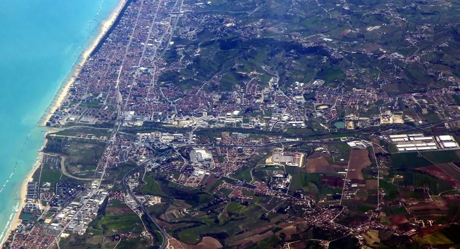
- Nearby: L'Aquila (23 km)
Best time to visit & climate
The most pleasant time to visit is Jun–Aug.
| Jan | Feb | Mar | Apr | May | Jun | Jul | Aug | Sep | Oct | Nov | Dec | |
|---|---|---|---|---|---|---|---|---|---|---|---|---|
| Avg °C | 4 | 4 | 7 | 11 | 15 | 20 | 23 | 23 | 18 | 14 | 9 | 5 |
| Rain mm | 82 | 75 | 68 | 59 | 58 | 46 | 34 | 32 | 67 | 74 | 90 | 84 |
📋 Practical info
Geography
Facts
- Monte Camicia reaches a total height of 2564 meters above sea level.
- The North Face is over 1000 meters high, making it a legendary climbing site.
- The mountain is located within the Gran Sasso National Park, created in 1991.
- On clear mornings, the sun can be seen rising directly from the Adriatic Sea.
- The southern approach is characterized by 'rolling' grassy slopes.
- The peak is composed of high-purity limestone and dolomite rocks.
Explore nearby
Notable places around
Route planner — Car & Motorhome
Where do you start? We build the route here, with stops and country notes along the way.
© OpenStreetMap contributors · OpenRouteService
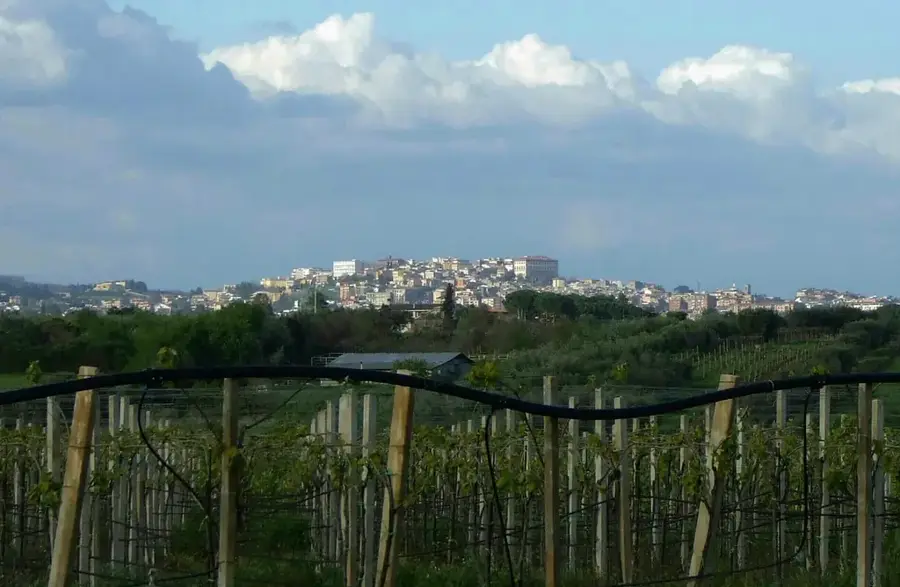
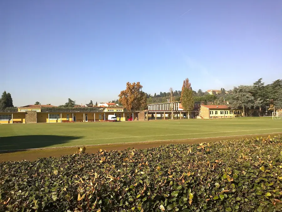
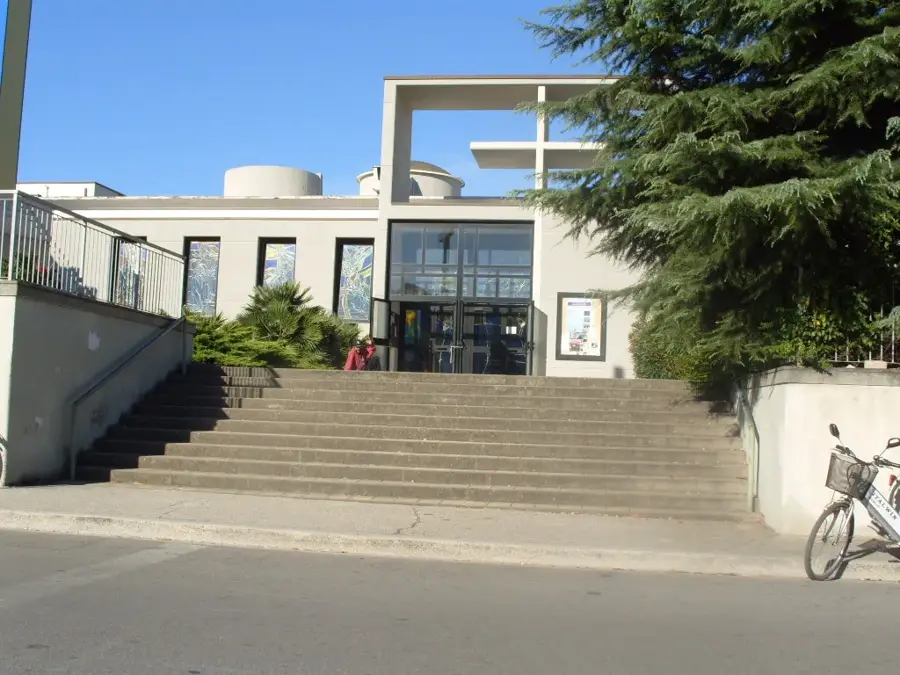
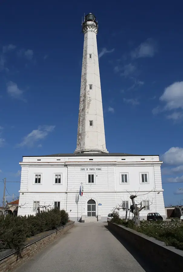
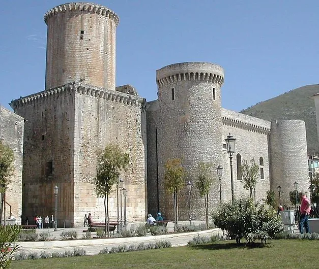
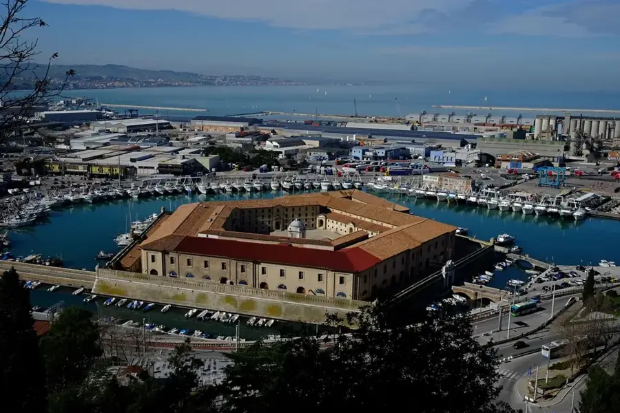
Sights in the town Monte Camicia (4)
Sights nearby
Frequently asked questions
Which mountain group does Monte Camicia belong to?
What is special about its north face?
How high is the summit?
Where does the normal route start?
When is there snow?
Monte Camicia: where is it located?
Monte Camicia: what is there to see?
Monte Camicia: when is the best time to visit?
Monte Camicia: why is it worth visiting?

Nearby cities