Plizio Visual Lab
Mount Carmel
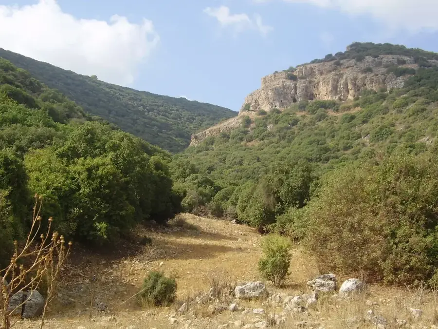
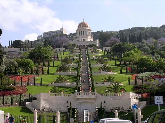
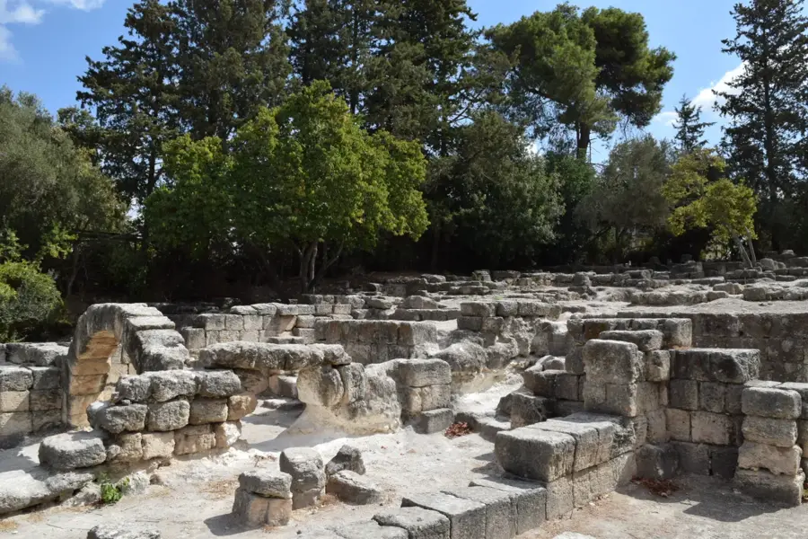
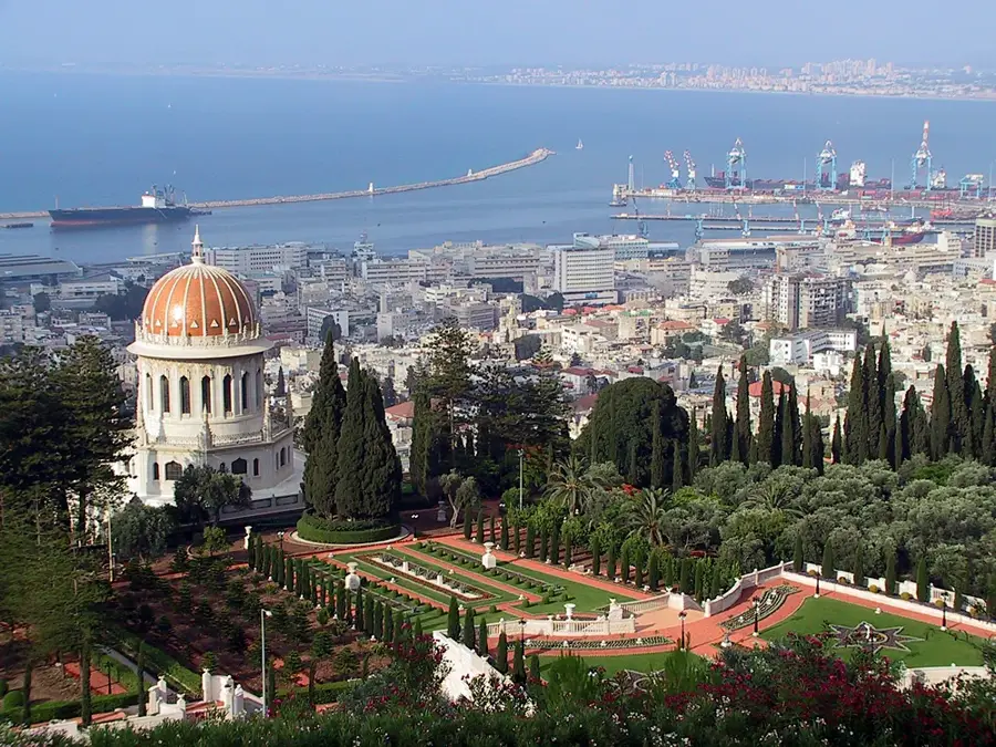
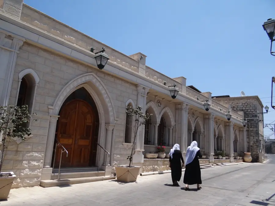
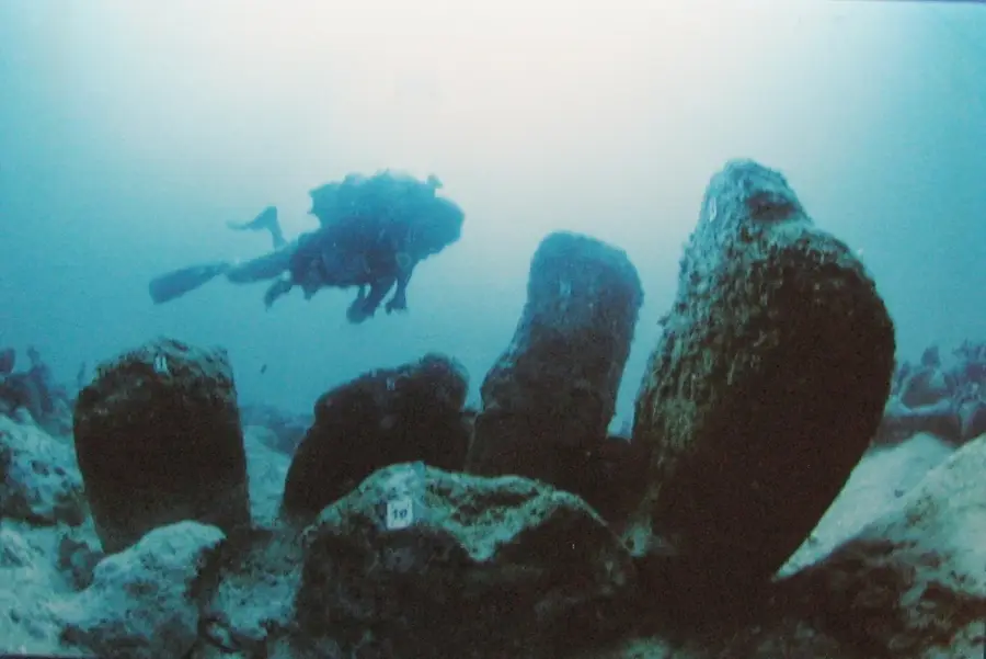
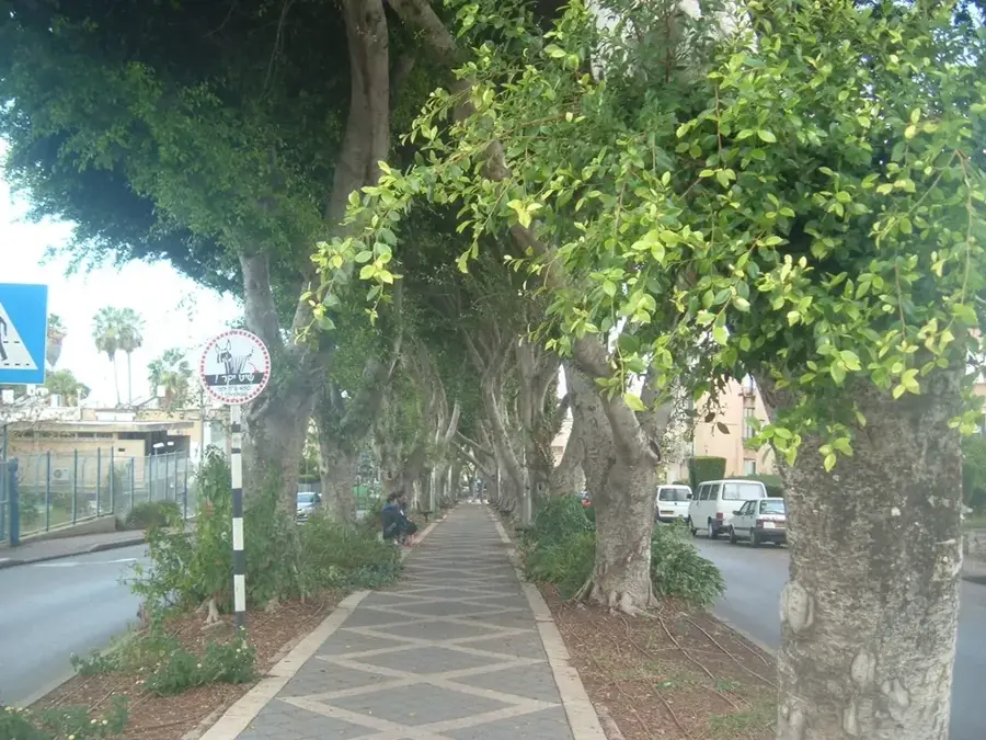
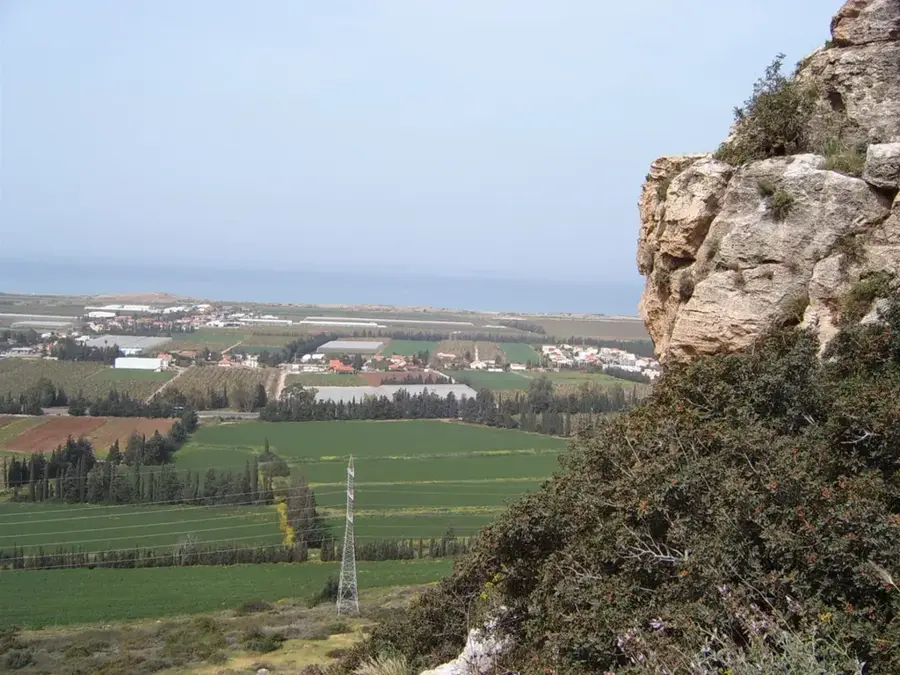
The Carmel mountain range is a coastal range stretching approximately 39 kilometers in northwestern Israel, renowned for its lush vegetation and rich historical significance. Its highest point reaches an elevation of 546 meters, and the massif drops steeply toward the Mediterranean Sea at Haifa. Recognized as a UNESCO Biosphere Reserve, it hosts a wide variety of flora, including Aleppo pines, oaks, and the rare Carmel juniper. Of immense archaeological importance are the prehistoric caves in Nahal Me’arot, a UNESCO World Heritage site, which provide evidence of coexistence between Neanderthals and early modern humans over 100,000 years ago. Religiously, Mount Carmel is closely associated with the Prophet Elijah, who traditionally triumphed over the prophets of Baal on its slopes. Today, the range is a popular recreational area featuring numerous hiking trails, monasteries, and Druze villages like Daliat el-Karmel. Despite suffering from severe forest fires in the past, most notably in 2010, intensive reforestation efforts have largely restored the area's ecological integrity.
- Location: Israel
- Top sights: Ein Hik · Israel Trail Library · David Eisen viewpoint
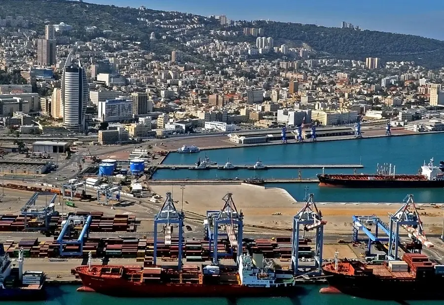
- Nearby: Haifa (7 km)
Best time to visit & climate
The most pleasant time to visit is May, Jun, Oct.
| Jan | Feb | Mar | Apr | May | Jun | Jul | Aug | Sep | Oct | Nov | Dec | |
|---|---|---|---|---|---|---|---|---|---|---|---|---|
| Avg °C | 13 | 13 | 15 | 18 | 22 | 25 | 27 | 27 | 26 | 24 | 19 | 15 |
| Rain mm | 118 | 88 | 47 | 23 | 7 | 1 | 1 | 1 | 2 | 18 | 57 | 104 |
📋 Practical info
Geography
Facts
- The highest elevation of Mount Carmel is 546 meters.
- The mountain range extends for a length of about 39 kilometers.
- UNESCO designated it as a Biosphere Reserve in 1996.
- The Nahal Me’arot caves became a World Heritage site in 2012.
- In 2010, the area suffered the largest forest fire in Israel's history.
- It is home to significant Druze communities like Daliat el-Karmel.
Explore nearby
Notable places around
Route planner — Car & Motorhome
Where do you start? We build the route here, with stops and country notes along the way.
© OpenStreetMap contributors · OpenRouteService
Sights in the town Mount Carmel (8)
Sights nearby
Frequently asked questions
What is 'Little Switzerland'?
Are there viewpoints?
Can you go hiking there?
What are the Druze villages?
Is the area prone to forest fires?
Mount Carmel: where is it located?
Mount Carmel: what is there to see?
Mount Carmel: when is the best time to visit?
Mount Carmel: why is it worth visiting?

Nearby cities
Nature
More places