Plizio Visual Lab
Slieve Felim Mountains
Weather…
Water temperature…
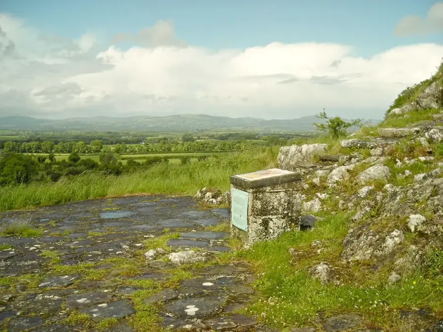
The Slieve Felim Mountains are a range of gently rolling hills stretching across the borders of County Limerick and County Tipperary in southwest Ireland. The highest summit is Mauherslieve, reaching an elevation of 479 metres. Unlike the more rugged limestone mountains further north, the Slieve Felims are primarily composed of Silurian sandstone and shales, giving them a softer and more rounded profile. The landscape is a mosaic of extensive blanket bogs and large-scale forestry plantations, which provide important habitats for local wildlife. Historically, the area is noted for its prehistoric remains, including ancient ringforts and megalithic tombs that dot the countryside. The mountains act as a significant watershed for the River Shannon, with several tributaries such as the River Mulcair originating in these uplands. In local folklore, the name Felim is linked to ancient chieftains and legendary figures from Ireland's past. Today, the Slieve Felim Way features hikers a chance to explore this quiet and relatively undiscovered part of the Irish countryside. The area is particularly well-known for its birdlife, including birds of prey like the kestrel. Sheep farming remains a traditional and vital part of the local economy on the grassy slopes.
- Location: Ireland
- Top sights: Dermot & Grania's Bed · Cullaun · Knockastanna
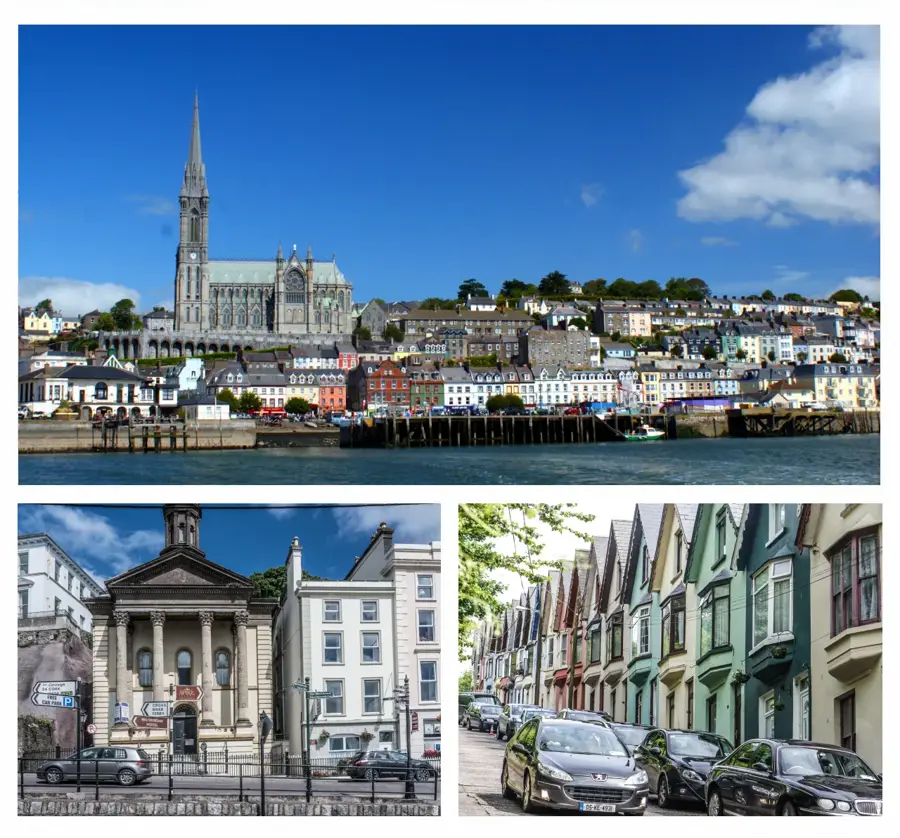
- Nearby: Killaloe (19 km)
Best time to visit & climate
The most pleasant time to visit is Jun–Aug.
| Jan | Feb | Mar | Apr | May | Jun | Jul | Aug | Sep | Oct | Nov | Dec | |
|---|---|---|---|---|---|---|---|---|---|---|---|---|
| Avg °C | 5 | 5 | 6 | 8 | 11 | 14 | 15 | 15 | 13 | 10 | 7 | 5 |
| Rain mm | 100 | 79 | 77 | 69 | 77 | 85 | 92 | 98 | 82 | 105 | 113 | 110 |
📋 Practical info
Geography
Facts
- Highest peak: Mauherslieve (479 m)
- Geology: Silurian sandstone and shales
- Important watershed for the River Shannon
- Route of the Slieve Felim Way hiking trail
- Home to numerous ringforts and megalithic tombs
- Habitat for birds of prey like the kestrel
Explore nearby
Notable places around
Route planner — Car & Motorhome
Where do you start? We build the route here, with stops and country notes along the way.
© OpenStreetMap contributors · OpenRouteService
Sights in the town Slieve Felim Mountains (4)
Sights nearby
Frequently asked questions
Where is Slieve Felim located?
What is the Slieve Felim Way?
Which is the highest mountain?
Are there monuments there?
What can you see in nature?
Slieve Felim Mountains: where is it located?
Slieve Felim Mountains: what is there to see?
Slieve Felim Mountains: when is the best time to visit?
Slieve Felim Mountains: why is it worth visiting?

Nearby cities