Plizio Visual Lab
Slieve Ardagh
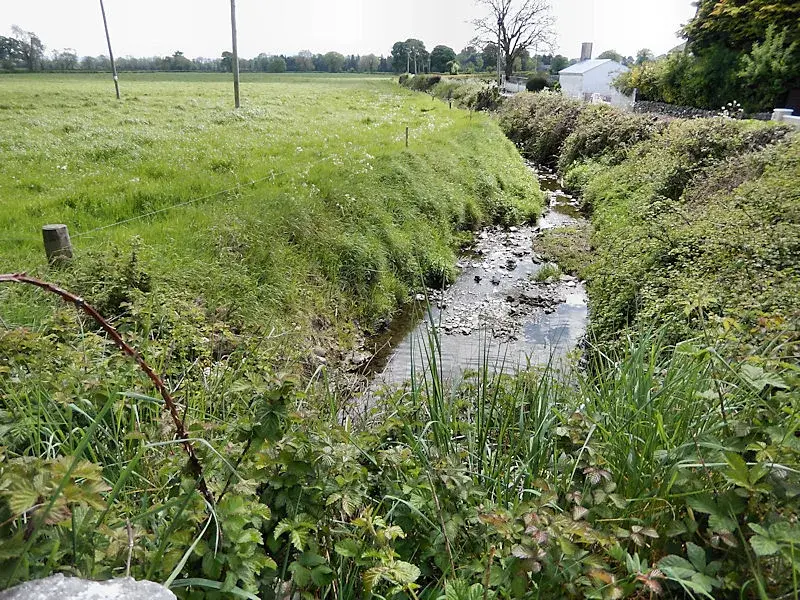
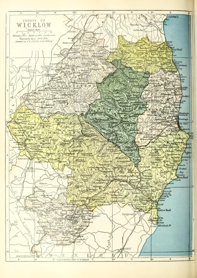
The Slieve Ardagh Hills are a range of hills situated on the border between counties Tipperary and Kilkenny. Despite their moderate elevation of up to 340 meters, they hold immense industrial significance for Ireland. For over two centuries, the region was the center of Irish anthracite coal mining, shaping the landscape and social structure. Numerous relics, such as the distinctive engine houses and mine chimneys, have been preserved as industrial monuments. Geologically, the hills are part of the Leinster Coalfield and consist of Carboniferous sedimentary layers. Today, Slieve Ardagh is a peaceful agricultural area known for its pastures and forestry. Walking trails lead visitors through the mining history while offering tranquil views of the countryside. Local initiatives and museums keep the history of the mining families alive. The hills link the natural beauty of the Midlands with the country's industrial past, providing a serene environment for historical discovery and reflection.
- Location: Ireland
- Top sights: Ballingarry Castle (ruins) · Rathroe · Crohane Castle
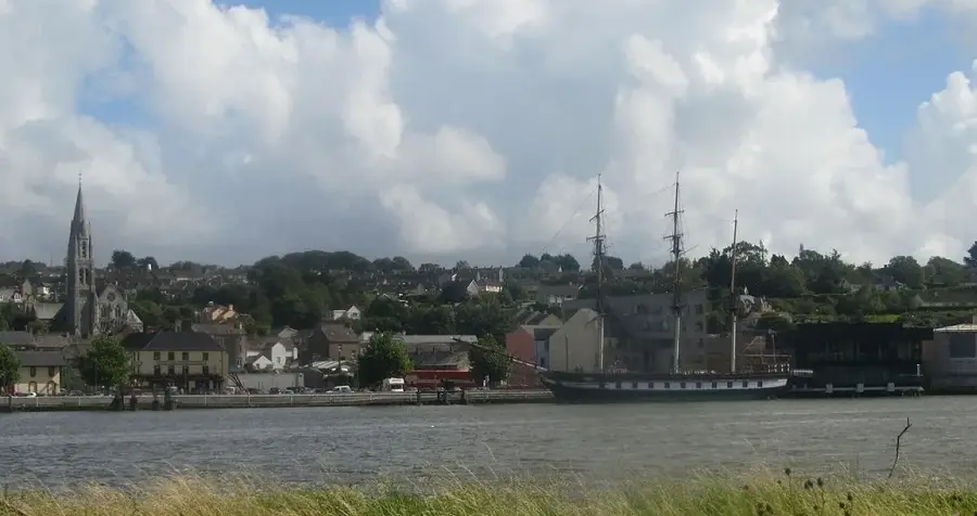
- Nearby: Thurles (22 km)
Best time to visit & climate
The most pleasant time to visit is Jun–Aug.
| Jan | Feb | Mar | Apr | May | Jun | Jul | Aug | Sep | Oct | Nov | Dec | |
|---|---|---|---|---|---|---|---|---|---|---|---|---|
| Avg °C | 5 | 5 | 6 | 8 | 11 | 14 | 15 | 15 | 13 | 10 | 7 | 6 |
| Rain mm | 91 | 70 | 72 | 65 | 70 | 81 | 85 | 93 | 78 | 104 | 104 | 101 |
📋 Practical info
Geography
Facts
- Slieve Ardagh is part of the largest anthracite coalfield in Ireland.
- Mining in this region began in the 18th century and ended in 1990.
- The mining center in Killenaule documents the area's industrial history.
- The hills reach a maximum elevation of approximately 340 meters.
- Several chimneys of the old steam engine houses are still visible today.
- The region is also known for its high-quality limestone deposits.
Explore nearby
Notable places around
Route planner — Car & Motorhome
Where do you start? We build the route here, with stops and country notes along the way.
© OpenStreetMap contributors · OpenRouteService
Sights in the town Slieve Ardagh (6)
Sights nearby
Frequently asked questions
Where is Slieve Ardagh located?
What is the region known for?
What is the Slieve Ardagh Heritage Centre?
Are there burial mounds there?
How high are the hills?
Slieve Ardagh: where is it located?
Slieve Ardagh: what is there to see?
Slieve Ardagh: when is the best time to visit?
Slieve Ardagh: why is it worth visiting?

Nearby cities