Plizio Visual Lab
Mount Leinster
Weather…
Water temperature…
Mount Leinster is the highest peak in the Blackstairs Mountains in southeast Ireland, reaching an elevation of 796 meters. It is situated on the border between counties Carlow and Wexford and dominates the local landscape. Geologically, the mountain is composed of granite, formed during the Caledonian orogeny. On its summit sits a prominent television transmitter, which is visible for miles and makes the mountain easily identifiable. A special highlight for visitors is the 'Nine Stones' viewpoint on the northern slopes, from which up to eight counties can be seen on a clear day. The mountain is a haven for outdoor activities, including challenging hikes and paragliding. The flora is characterized by heather and moor grasses, lending a wild beauty to the barren summit region. Historically, the mountain marks an important boundary and is the setting for numerous local legends. Mount Leinster remains a key symbol of the Blackstairs region's natural heritage and a landmark for the entire southeast of the country.
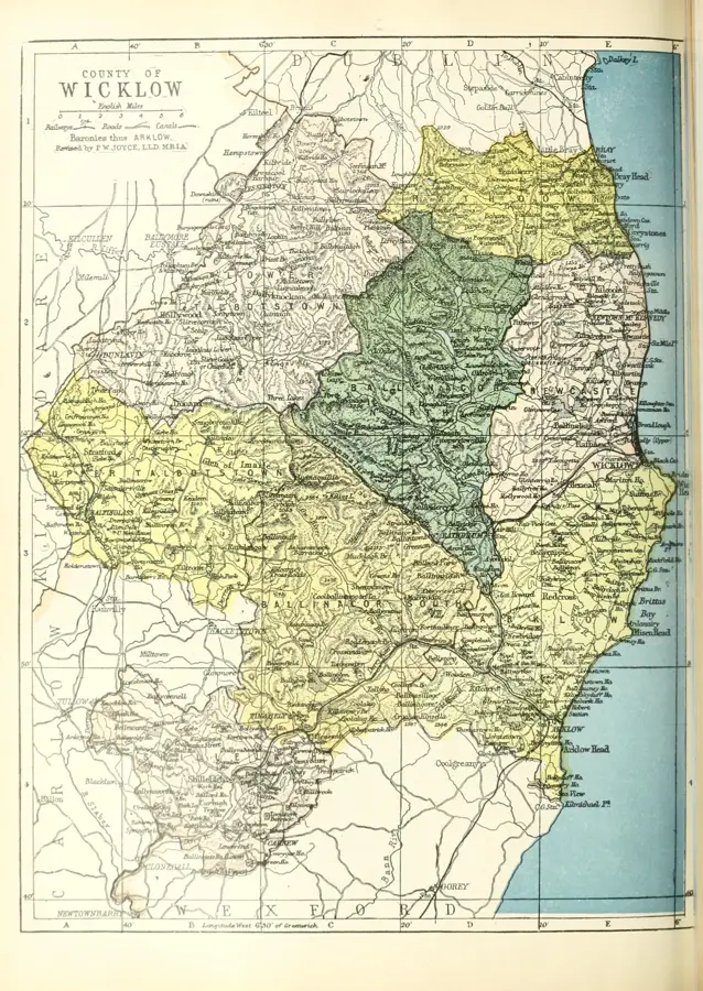
- Location: Ireland
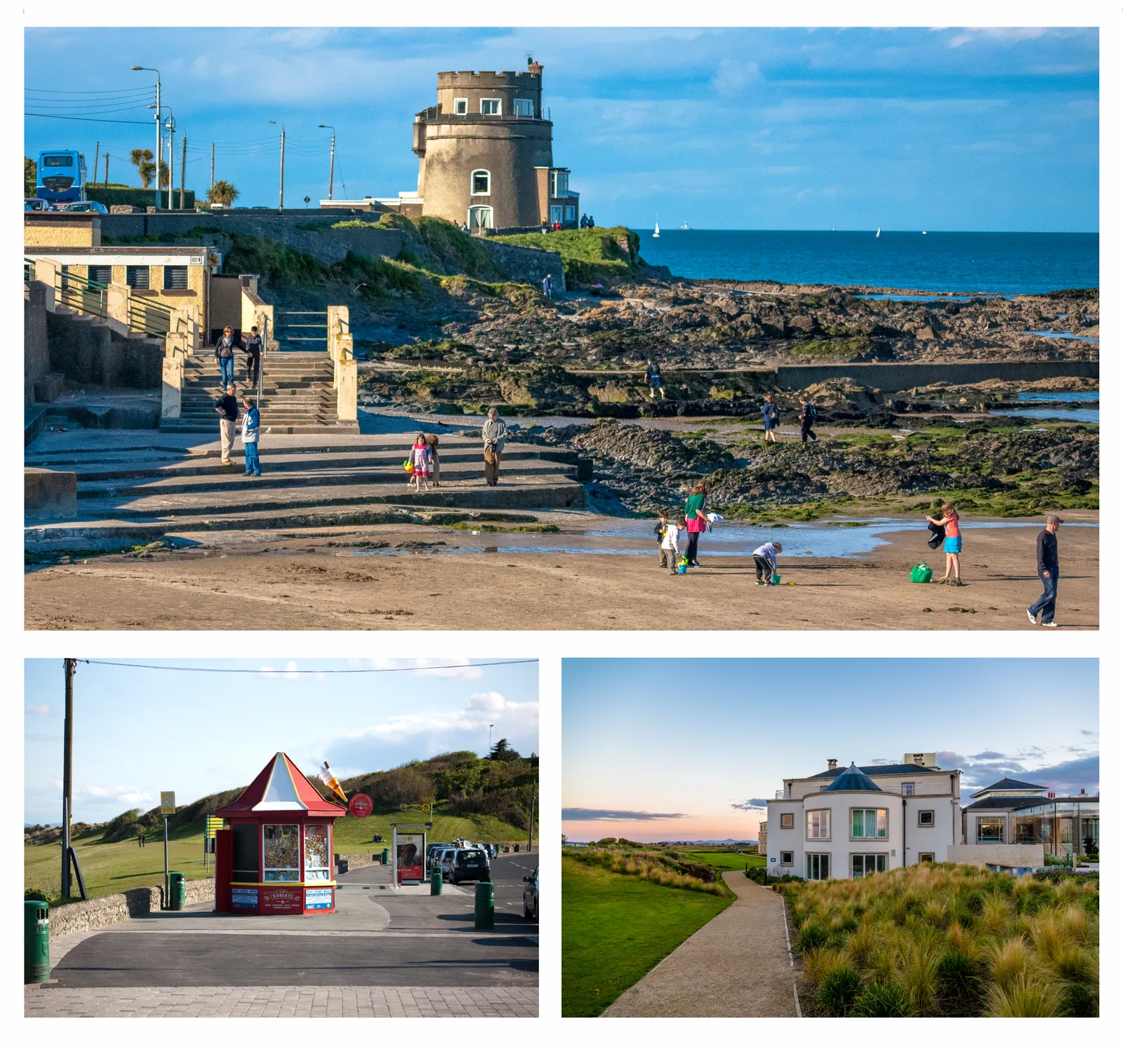
- Top sights: Rathnageeragh castle · Mount Leinster · Slievebawn
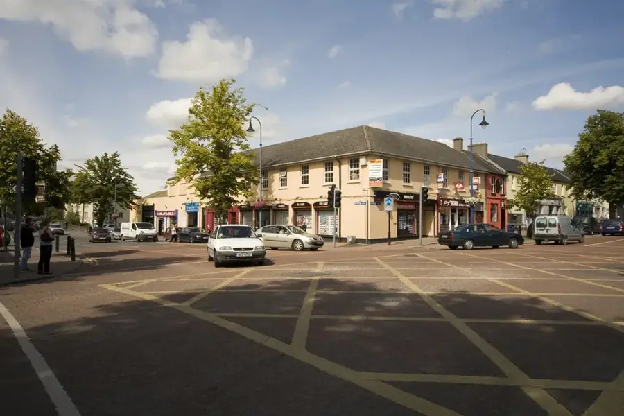
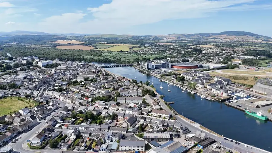
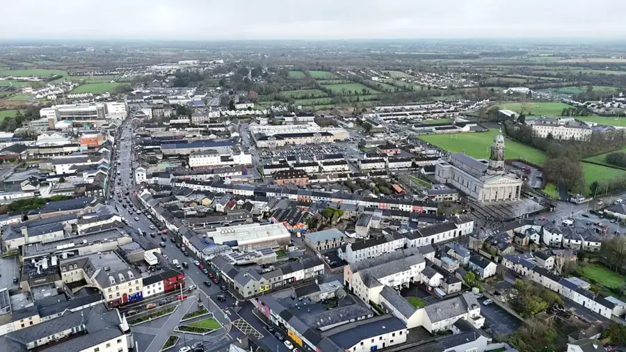
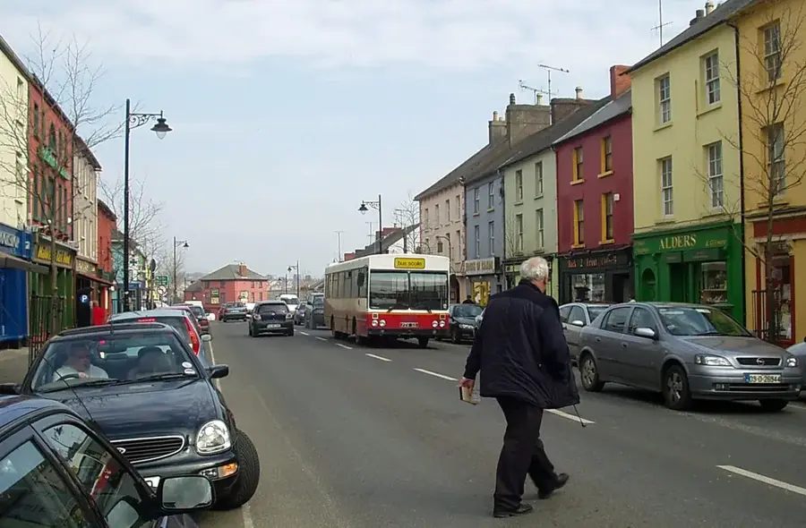
- Nearby: Muine Bheag (12 km)
Best time to visit & climate
The most pleasant time to visit is Jun–Aug.
| Jan | Feb | Mar | Apr | May | Jun | Jul | Aug | Sep | Oct | Nov | Dec | |
|---|---|---|---|---|---|---|---|---|---|---|---|---|
| Avg °C | 5 | 5 | 6 | 8 | 11 | 14 | 15 | 15 | 13 | 11 | 7 | 6 |
| Rain mm | 92 | 74 | 76 | 68 | 70 | 82 | 88 | 93 | 81 | 112 | 110 | 106 |
📋 Practical info
Geography
Facts
- Mount Leinster is the highest point in the province of Leinster at 796 meters.
- The television transmitter on the summit was commissioned in 1961.
- Geologically, the mountain belongs to the Leinster granite batholith.
- The 'Nine Stones' point is named after a row of nine small stones by the roadside.
- The summit is the fifth-highest county peak in Ireland.
- Paragliders frequent the slopes due to the excellent thermal conditions.
Explore nearby
Notable places around
Route planner — Car & Motorhome
Where do you start? We build the route here, with stops and country notes along the way.
© OpenStreetMap contributors · OpenRouteService
Sights in the town Mount Leinster (6)
Sights nearby
Frequently asked questions
Where is Mount Leinster located?
How high is the mountain?
What is located on the summit?
Can you drive to the summit?
What sports are popular there?
Mount Leinster: where is it located?
Mount Leinster: what is there to see?
Mount Leinster: when is the best time to visit?
Mount Leinster: why is it worth visiting?

Nearby cities