Plizio Visual Lab
Glendalough Valley
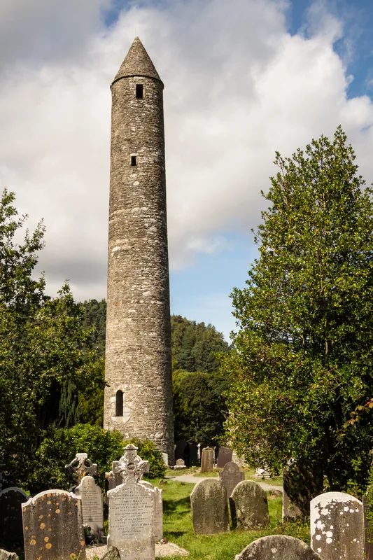
Glendalough Valley in the Wicklow Mountains is a place of extraordinary natural beauty and profound historical significance. Known as the 'Valley of the Two Lakes', it was carved out by glaciers during the last Ice Age, leaving behind characteristic deep valleys and steep granite cliffs. In the 6th century, St. Kevin founded a monastic settlement here, which grew into one of Ireland's most important religious and academic centers. The ruins, including a remarkably well-preserved round tower and several churches, bear witness to its early medieval golden age. Surrounded by ancient oak woodlands and heathlands, the valley today provides diverse habitats for red deer, feral goats, and numerous bird species. Glendalough is not only a magnet for pilgrims and history enthusiasts but also a popular destination for hikers exploring the scenic trails around the Upper and Lower Lakes.
- Location: Ireland
- Top sights: Standing Stone · Miners' Village · Derrybawn Mountain
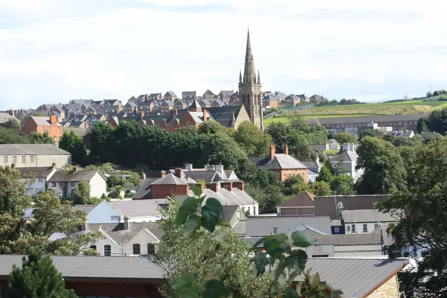
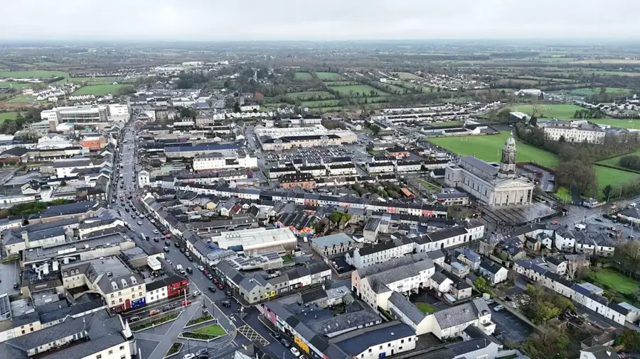
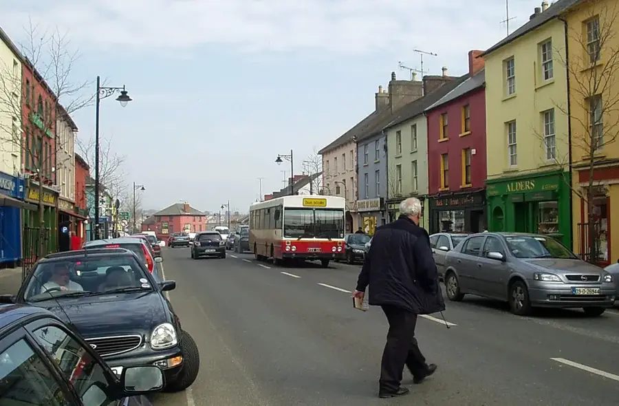
- Nearby: Rathdrum (11 km)
Best time to visit & climate
The most pleasant time to visit is Jun–Aug.
| Jan | Feb | Mar | Apr | May | Jun | Jul | Aug | Sep | Oct | Nov | Dec | |
|---|---|---|---|---|---|---|---|---|---|---|---|---|
| Avg °C | 6 | 5 | 6 | 8 | 11 | 13 | 15 | 15 | 13 | 11 | 8 | 6 |
| Rain mm | 97 | 79 | 78 | 67 | 70 | 79 | 83 | 93 | 81 | 116 | 121 | 114 |
📋 Practical info
Geography
Facts
- The round tower of Glendalough is approximately 30 meters high and dates to the 10th century.
- The name Glendalough comes from the Irish 'Gleann Dá Locha', meaning 'Valley of the Two Lakes'.
- St. Kevin is said to have died here in 618 AD at the age of 120.
- The monastic settlement was largely destroyed by English forces in 1398.
- The valley hosts one of the largest populations of red deer in Ireland.
- The 'Reefert Church' ruins served as a burial place for the local O'Toole kings.
Explore nearby
Notable places around
Route planner — Car & Motorhome
Where do you start? We build the route here, with stops and country notes along the way.
© OpenStreetMap contributors · OpenRouteService
Sights in the town Glendalough Valley (3)
Sights nearby
Frequently asked questions
What does Glendalough mean?
Can you swim in the lake?
Is it free to visit the ruins?
Are there food facilities?
How do I get to the Round Tower?
Glendalough Valley: where is it located?
Glendalough Valley: what is there to see?
Glendalough Valley: when is the best time to visit?
Glendalough Valley: why is it worth visiting?

Nearby cities