Plizio Visual Lab
Bluestack Mountains
Weather…
Water temperature…
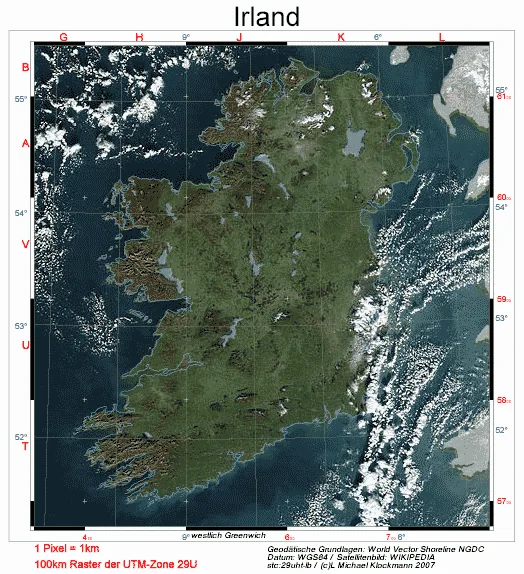
The Bluestack Mountains, also known as Croaghgorm, are the central mountain massif in County Donegal in northwest Ireland. They form a significant barrier between the south of the county and the northern regions, reaching an elevation of 674 metres at their highest point, Croaghgorm. The mountains are primarily composed of metamorphic rocks such as gneiss and granite, giving them a rugged and jagged structure. The landscape is characterised by vast blanket bogs, deep valleys, and remote lakes like Lough Belshade, which were sculpted by glacial erosion during the last ice age. Due to their isolation, the Bluestacks provide an important sanctuary for rare bird species, including the golden plover. The 'Bluestack Way' is a well-known long-distance hiking trail that leads walkers through this unspoiled wilderness. Culturally and historically, the mountains are deeply rooted in local folklore and served for a long time as a natural boundary. Today, they are a symbol of Donegal's raw beauty and a magnet for tourists seeking solitude off the beaten track.
- Location: Ireland
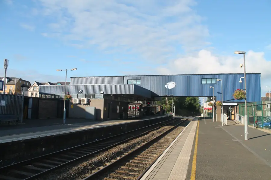
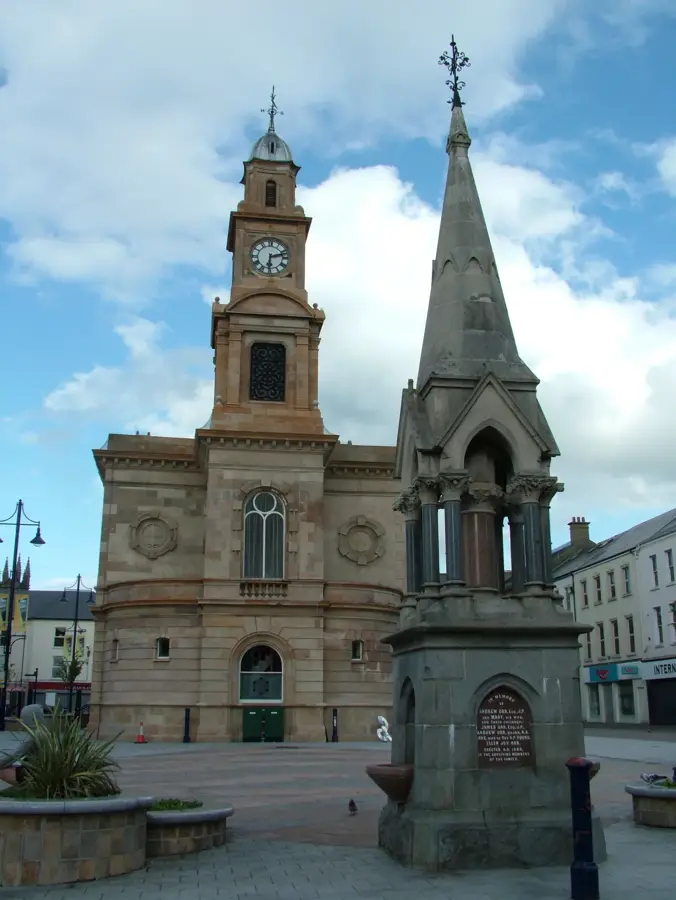
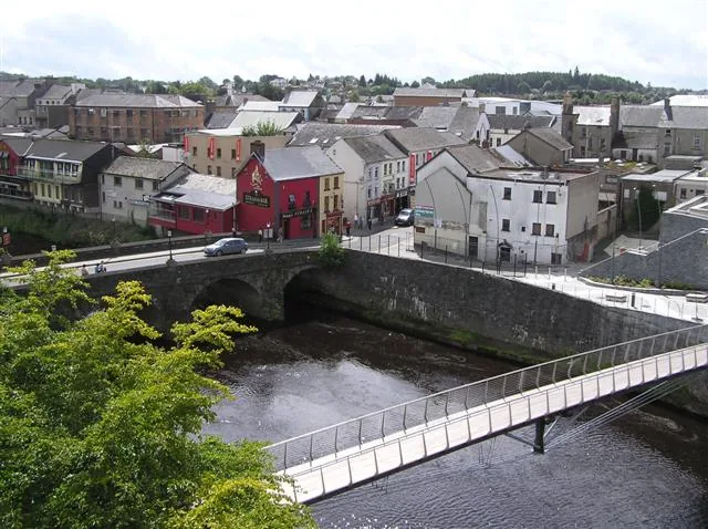
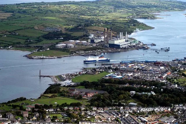
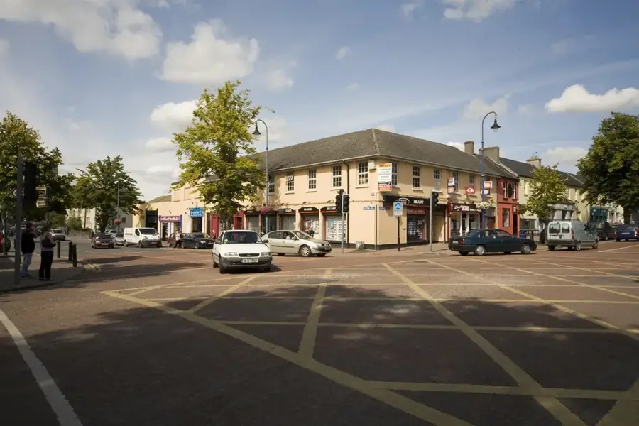
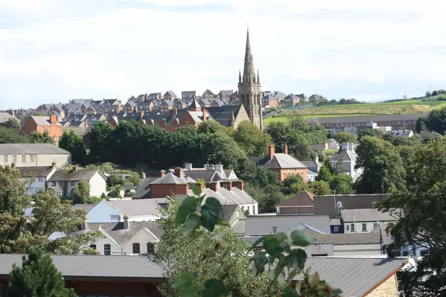
- Nearby: Donegal (8 km)
Best time to visit & climate
The most pleasant time to visit is Jun–Aug.
| Jan | Feb | Mar | Apr | May | Jun | Jul | Aug | Sep | Oct | Nov | Dec | |
|---|---|---|---|---|---|---|---|---|---|---|---|---|
| Avg °C | 5 | 5 | 6 | 8 | 10 | 13 | 14 | 14 | 13 | 10 | 7 | 5 |
| Rain mm | 135 | 105 | 97 | 77 | 98 | 105 | 118 | 127 | 107 | 128 | 136 | 139 |
📋 Practical info
Geography
Facts
- Croaghgorm is the highest elevation at 674 metres.
- The rock is predominantly composed of granite and gneiss.
- The Bluestack Way is a hiking trail of about 65 kilometres.
- Lough Belshade is a scenic mountain lake within the massif.
- The mountains form the primary watershed in central Donegal.
- A British military aircraft crashed here in 1944.
Explore nearby
Notable places around
Route planner — Car & Motorhome
Where do you start? We build the route here, with stops and country notes along the way.
© OpenStreetMap contributors · OpenRouteService
Sights in the town Bluestack Mountains (1)
Sights nearby
Frequently asked questions
Where are the Bluestack Mountains located?
Is there a long-distance trail there?
What is the terrain like?
How high is the highest point?
Is the range suitable for beginners?
Bluestack Mountains: where is it located?
Bluestack Mountains: when is the best time to visit?
Bluestack Mountains: why is it worth visiting?

Nearby cities