Plizio Visual Lab
Zawita Forest

Weather…
Water temperature…
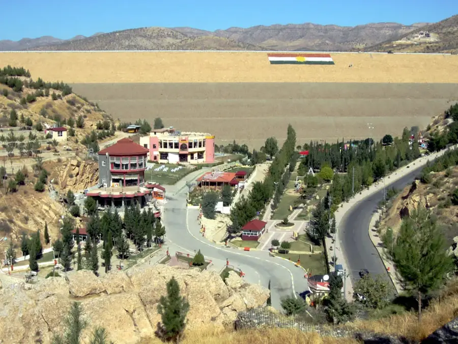
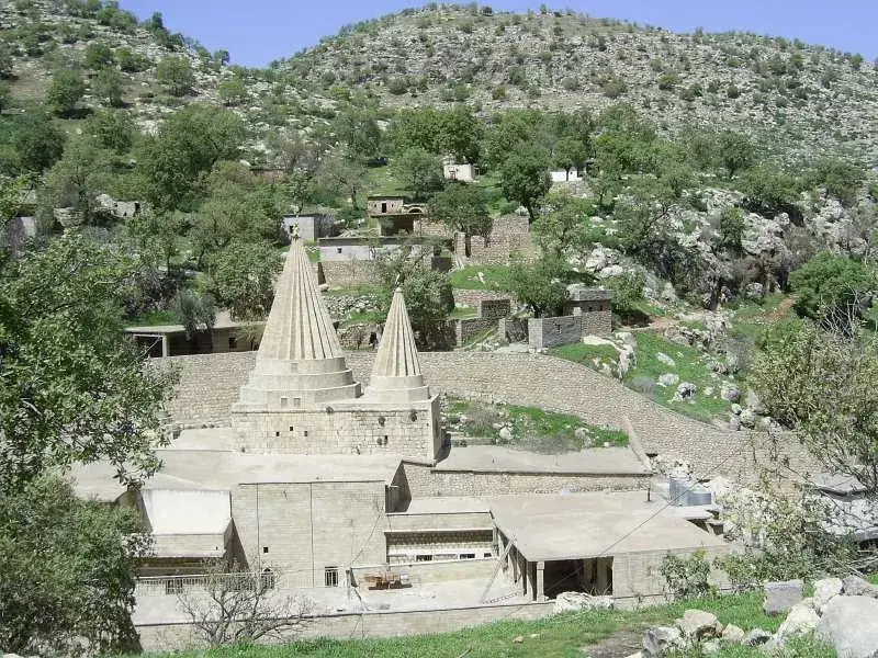
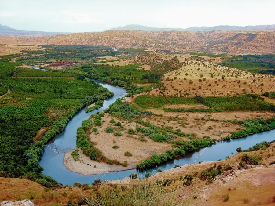
The Zawita Forest is defined as a natural forest area with an extended coverage area, located in the northern part of the territory controlled by the Dohuk province inside the borders of the Kurdistan Autonomous Region. The ecosystem is found at an altimetric quota close to 900 meters from the sea reference level and is ecologically studied mainly due to the dominant presence of Calabrian pine populations (Pinus brutia). The general climatic ensemble in the structure of the Zawita valley is characterized by visibly more moderate temperature parameters and an increased level of precipitation compared to the arid zones of the country. The topography of the place is naturally divided by the presence of multiple springs and streams that distribute the vital liquid towards a stratified plant layer.
- Location: Iraq
- Top sights: Bablo Water Park · Sardar Farm · Shadan farm
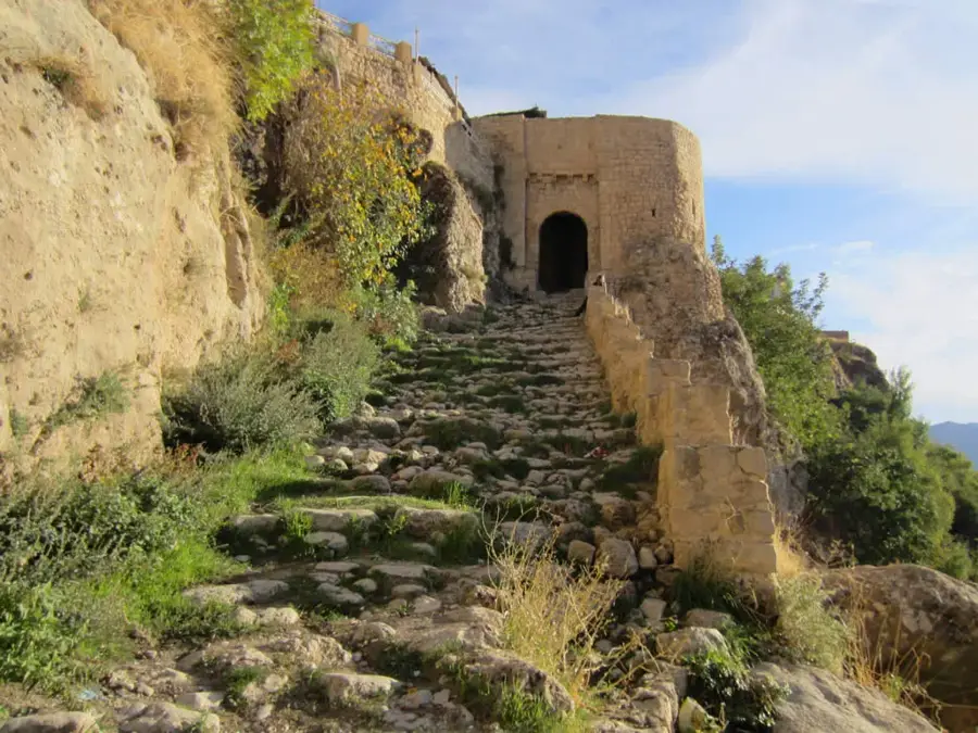
- Nearby: Amadiya (41 km)
Best time to visit & climate
The most pleasant time to visit is May, Sep, Oct.
| Jan | Feb | Mar | Apr | May | Jun | Jul | Aug | Sep | Oct | Nov | Dec | |
|---|---|---|---|---|---|---|---|---|---|---|---|---|
| Avg °C | 3 | 5 | 9 | 14 | 21 | 28 | 32 | 31 | 26 | 19 | 10 | 5 |
| Rain mm | 50 | 48 | 63 | 58 | 27 | 6 | 2 | 2 | 4 | 29 | 40 | 54 |
📋 Practical info
Geography
Facts
- Located in the Dohuk province at 900 meters altitude.
- Tree population is composed of Pinus brutia pine species.
- Has a visibly colder microclimate than other national zones.
- Essential location for Iraqi summer tourism and recreation.
- Tree root systems contribute to preventing natural erosion.
- Environment features mountain streams feeding vegetation.
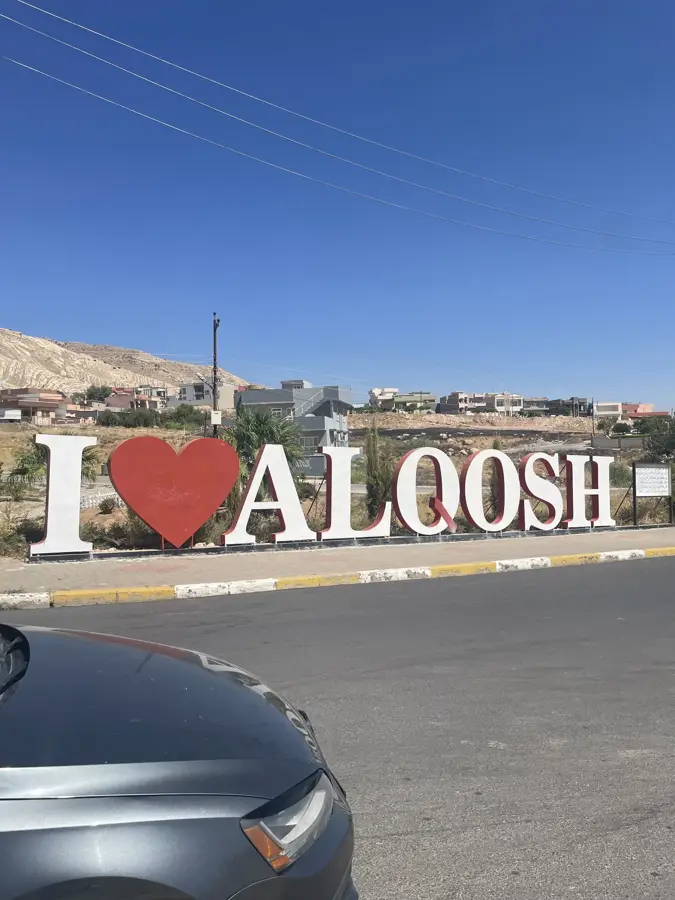
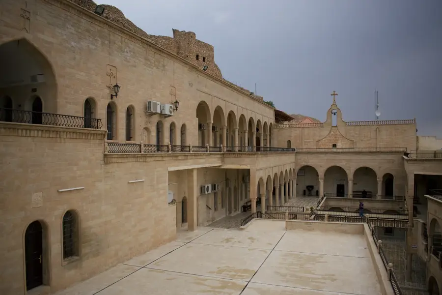
Explore nearby
Notable places around
Route planner — Car & Motorhome
Where do you start? We build the route here, with stops and country notes along the way.
© OpenStreetMap contributors · OpenRouteService
Sights in the town Zawita Forest (6)
Sights nearby
Frequently asked questions
What trees grow in Zawita Forest?
Where is the forest located?
Is it a good place for picnics?
Are there restaurants there?
When is the best time to visit?
Zawita Forest: where is it located?
Zawita Forest: what is there to see?
Zawita Forest: when is the best time to visit?
Zawita Forest: why is it worth visiting?

Nearby cities
History & landmarks
Nature
More places