Plizio Visual Lab
Sandgerði
ℹ️Practical info — Sandgerði
▾
🌤 Weather — 5 days
📍 Nearby
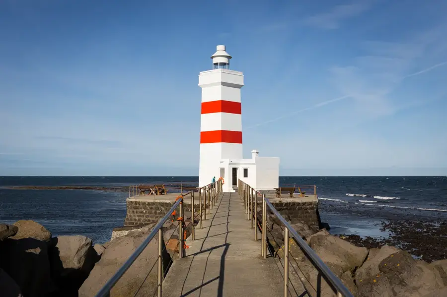
Sights nearby
💡 Tips
- Take a walk along the coast to observe the diverse birdlife of the Reykjanes Peninsula.
- The Suðurnes Science and Learning Center is an excellent and educational stop for families.
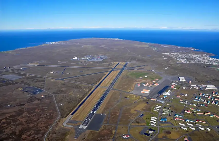
- Being very close to Keflavík Airport, it makes for a highly practical first or last stop on your trip.
- The wind can be fierce on this side of the coast, so windproof clothing is particularly important here.
🍽 Food
Warm up with this traditional soup at a local cafe after a windy walk along the coast.
Look for the 'catch of the day' (Fiskur dagsins) at restaurants located near the harbor.
🛍 Shopping · 🧘 Quiet spots
You can find small souvenirs and handmade items at the gift shop in the Science Center.
A beautiful, historic stone church just south of the town, surrounded by an old graveyard.
Follow the paths right along the ocean for a peaceful walk watching the waves crash.
Water temperature…
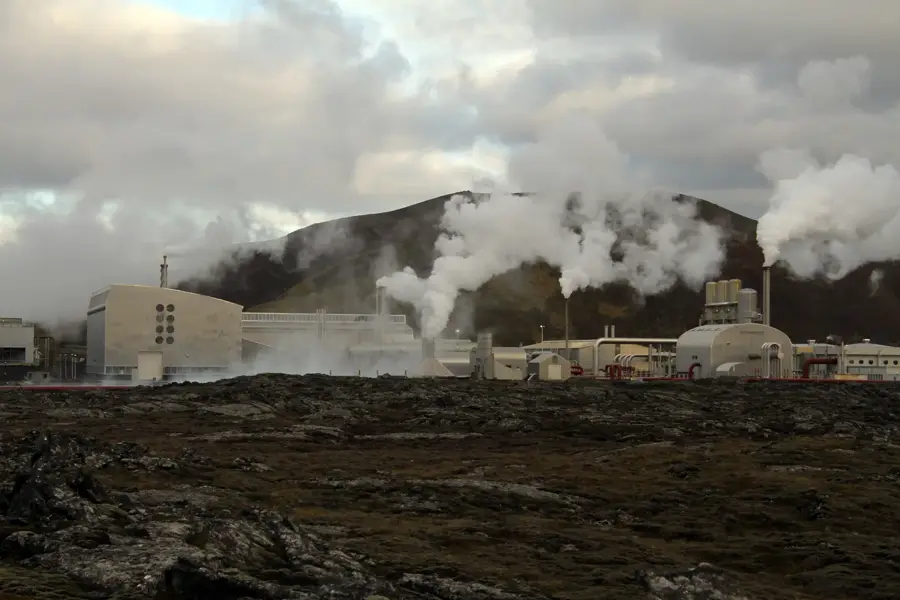
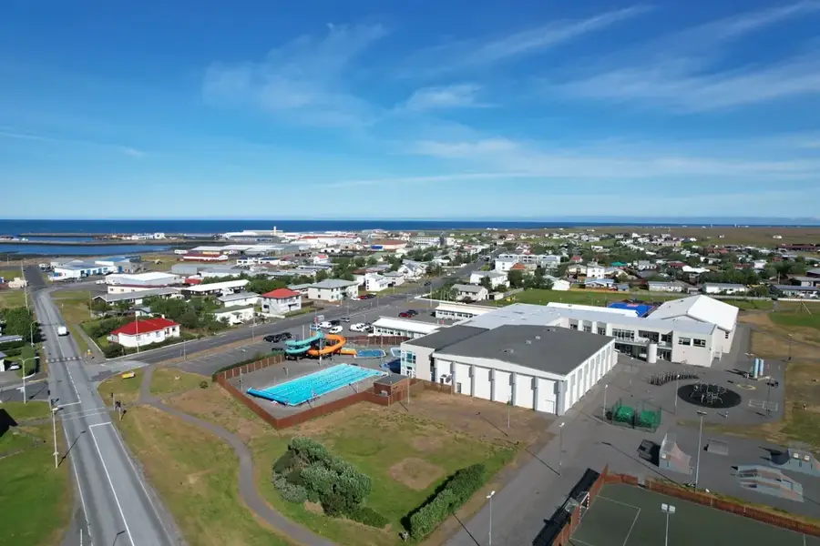
Sandgerði, now part of the Suðurnesjabær municipality, is a historic fishing village situated on the western edge of the Reykjanes Peninsula. The town's development was spurred in the late 19th century as it became a leading center for the Icelandic fishing and saltfish industries. Its location near Keflavík International Airport has transformed it into a modern residential community while maintaining its deep-rooted maritime identity and active fishing harbor. A major attraction is the Suðurnes Science and Learning Center, which focuses on marine biology and environmental research, providing public exhibitions on North Atlantic sea life. The area surrounding Sandgerði is known for its expansive coastal views and exceptional birdwatching opportunities, particularly for migratory species. Historically, the nearby Hvalsneskirkja church is a site of significance, housing a 17th-century tombstone crafted by the renowned poet Hallgrímur Pétursson. Today, Sandgerði blends traditional coastal living with modern amenities, serving as a peaceful alternative to the nearby capital region.
- Location: Iceland
- Nearby: Keflavík (8 km)
- Population: ~1.609
Best time to visit & climate
The most pleasant time to visit is Jun–Aug.
| Jan | Feb | Mar | Apr | May | Jun | Jul | Aug | Sep | Oct | Nov | Dec | |
|---|---|---|---|---|---|---|---|---|---|---|---|---|
| Avg °C | 1 | 1 | 2 | 4 | 6 | 9 | 11 | 11 | 8 | 5 | 3 | 2 |
| Rain mm | 154 | 136 | 138 | 106 | 83 | 72 | 85 | 109 | 161 | 131 | 137 | 154 |
Geography
Facts
- Sandgerði merged with neighboring Garður in 2018 to form Suðurnesjabær.
- The town was a prominent hub for shark fishing in the early 20th century.
- Hvalsneskirkja church was constructed using local basalt stone in 1887.
- Sandgerði is located only 10 minutes by car from Keflavík International Airport.
- The local science center features an extensive natural history collection.
- The coastline near Sandgerði is historically known for treacherous shipping reefs.
Explore nearby
Notable places around
Route planner — Car & Motorhome
Where do you start? We build the route here, with stops and country notes along the way.
© OpenStreetMap contributors · OpenRouteService
Sights in the town Sandgerði (1)
Frequently asked questions
Is Sandgerði good for birdwatching?
What is the Nature Center?
How close is Keflavík Airport?
Can you buy fresh fish at the harbor?
Are there golf facilities?
Sandgerði: where is it located?
Sandgerði: when is the best time to visit?
Sandgerði: why is it worth visiting?

Nearby cities


History & landmarks


More places