Plizio Visual Lab
Tai Tam Country Park
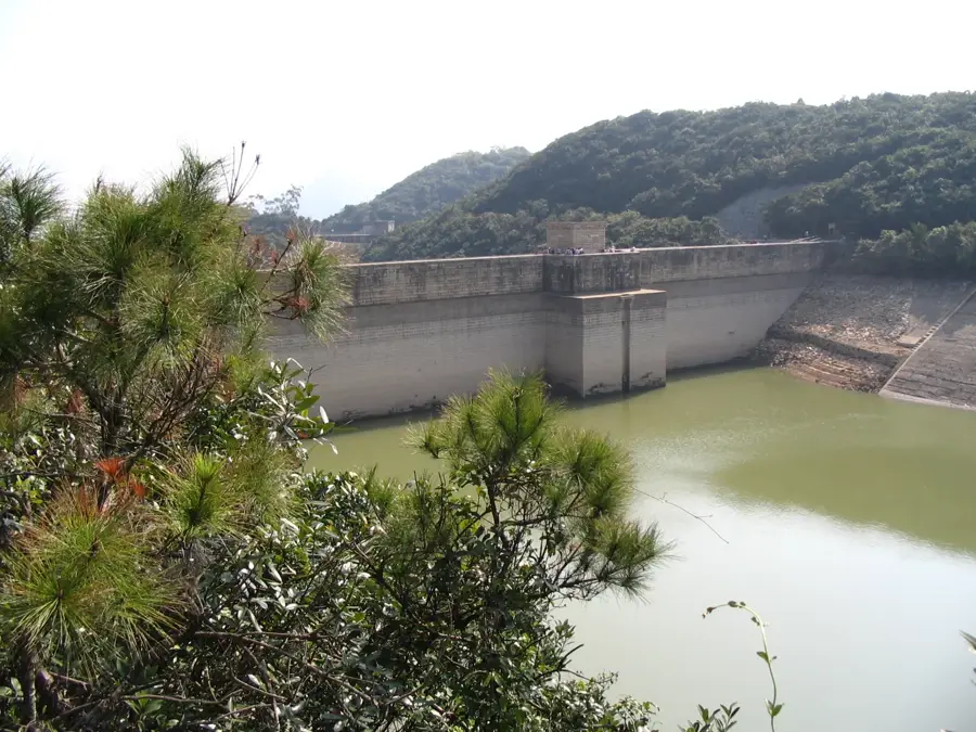
Tai Tam Country Park covers 1,315 hectares in the eastern part of Hong Kong Island, making it the largest country park on the island. Established in 1977, the park is centered around the Tai Tam group of reservoirs, which include four major water bodies completed between 1888 and 1917. The park features the fascinating Waterworks Heritage Trail, which showcases 21 historic structures, including grand masonry bridges, valve houses, and dams that are recognized as Grade I historic buildings. The terrain is characterized by lush subtropical forests, steep hillsides, and hidden valleys that provide sanctuary to macaques, wild boars, and diverse bird species. Hikers often frequent the Wilson Trail and the Hong Kong Trail, which traverse peaks like Jardine's Lookout and Mount Butler, offering sweeping views of the harbor and the South China Sea. Combining industrial history with natural beauty, Tai Tam serves as a vital ecological lung and a major outdoor recreational area for the city's residents.
- Location: Hong Kong SAR China
- Top sights: Masonry Bridge of Upper Reservior · Tai Tam Mound · Boa Vista
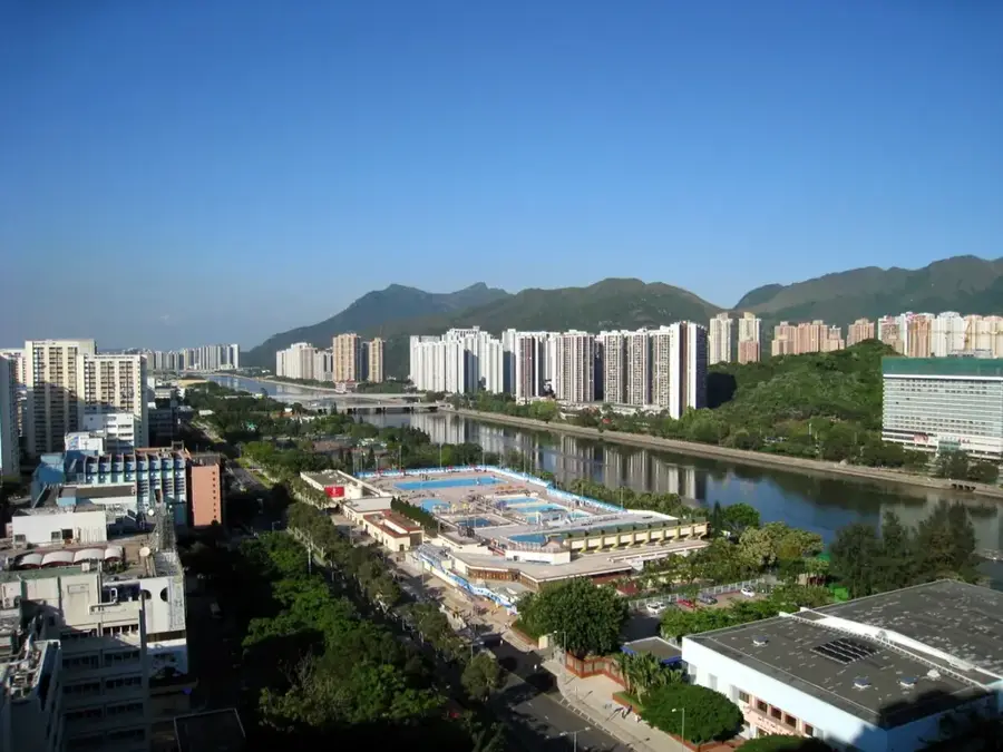
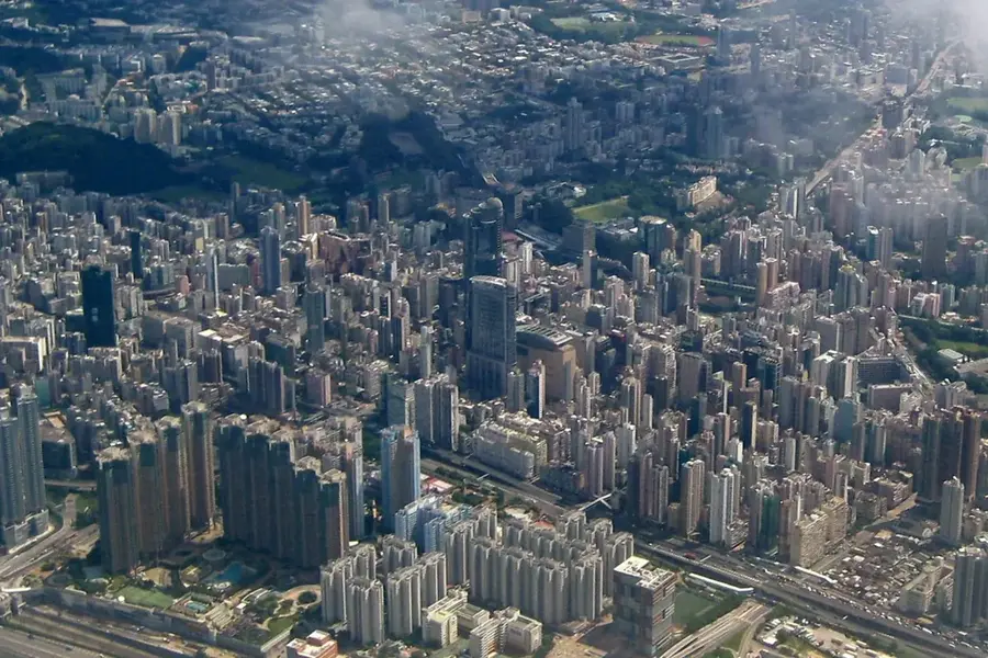
- Nearby: To Kwa Wan (4 km)
Best time to visit & climate
The most pleasant time to visit is Mar, Nov, Dec.
| Jan | Feb | Mar | Apr | May | Jun | Jul | Aug | Sep | Oct | Nov | Dec | |
|---|---|---|---|---|---|---|---|---|---|---|---|---|
| Avg °C | 16 | 18 | 20 | 23 | 26 | 28 | 29 | 29 | 28 | 25 | 22 | 17 |
| Rain mm | 35 | 29 | 69 | 109 | 231 | 288 | 197 | 234 | 173 | 56 | 29 | 21 |
📋 Practical info
Geography
Facts
- Area: 750 hectares (1,853 acres)
- Designated: 1979
- Number of reservoirs: 5
- Construction period: 1883–1917
- Highest point: 400 m (1,312 ft) at Mount Parker
- Bird species: over 100
Explore nearby
Notable places around
Route planner — Car & Motorhome
Where do you start? We build the route here, with stops and country notes along the way.
© OpenStreetMap contributors · OpenRouteService
Sights in the town Tai Tam Country Park (3)
Sights nearby
Frequently asked questions
What can you see in Tai Tam Country Park?
Are there BBQ sites available?
How do I reach the park?
Is the Tai Tam Heritage Trail difficult?
Is fishing allowed in the reservoirs?
Tai Tam Country Park: where is it located?
Tai Tam Country Park: what is there to see?
Tai Tam Country Park: when is the best time to visit?
Tai Tam Country Park: why is it worth visiting?

Nearby cities