Plizio Visual Lab
Mount Parker
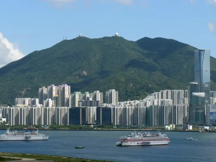
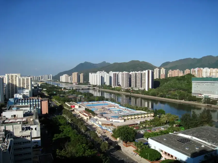
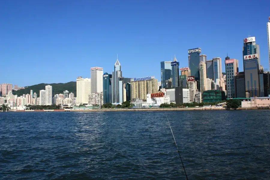
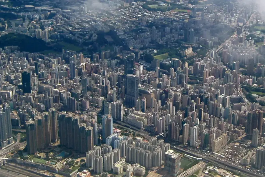
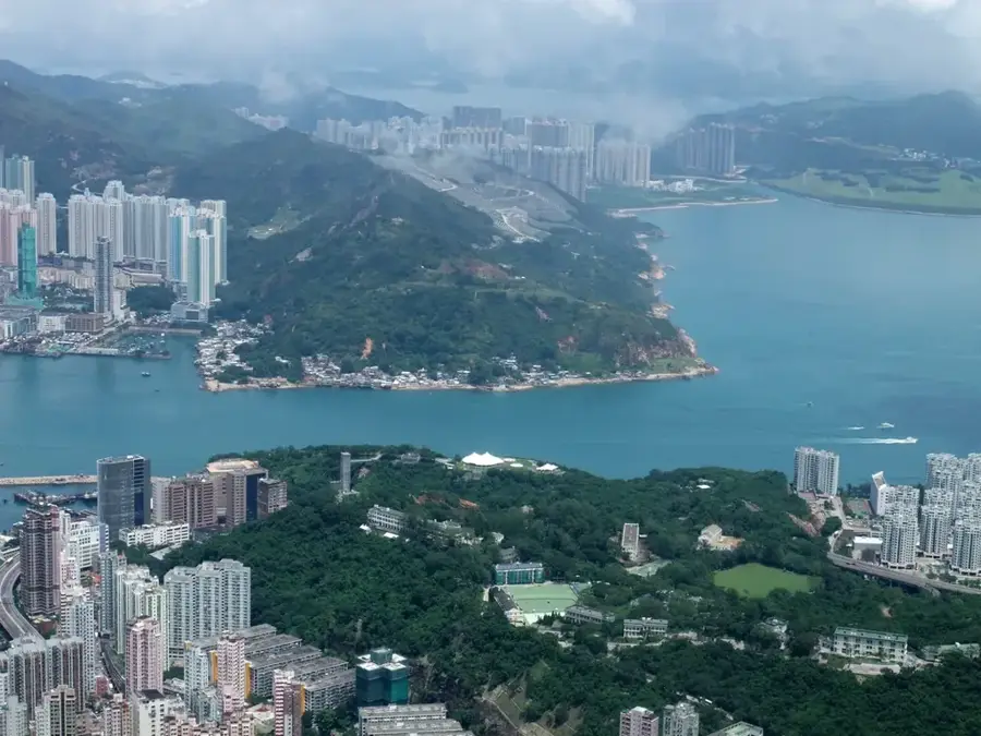
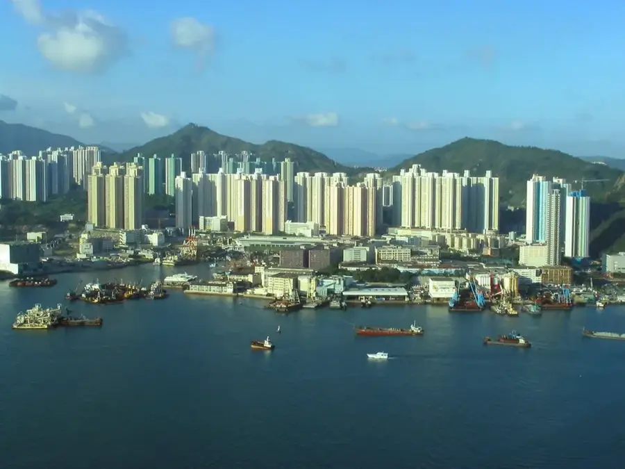
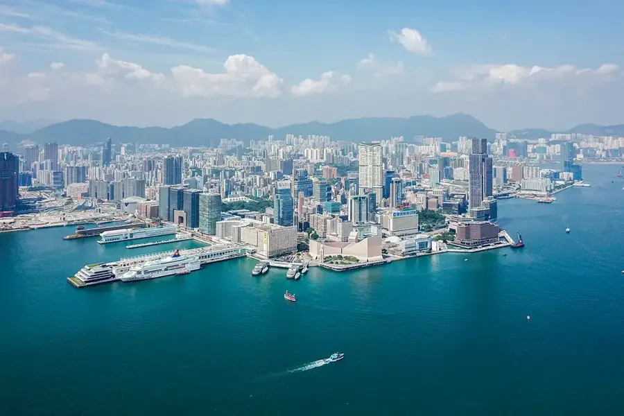
Mount Parker (532 m) is the easternmost major peak of Hong Kong Island, part of the rugged Dragon's Back ridge. Its geology features Cretaceous volcanic rock, and its eastern slopes drop steeply into the Cape D'Aguilar Marine Reserve. The mountain was used by the British military as a radar station during World War II and later became a key point on the Wilson Trail, a 78 km hiking route across Hong Kong. The surrounding vegetation is secondary forest dominated by Acacia confusa and bamboo. Remains of 19th-century rice terraces are still visible on the lower slopes. Average summer temperatures reach 28 °C, while winter lows drop to 15 °C. The summit provides panoramic views of the South China Sea and the outlying islands. The area is protected as part of the Cape D'Aguilar Country Park and supports over 200 bird species.
- Location: Hong Kong SAR China
- Top sights: Mt. Butler Viewing Point · Mount Parker · Mount Parker Road Viewing Point
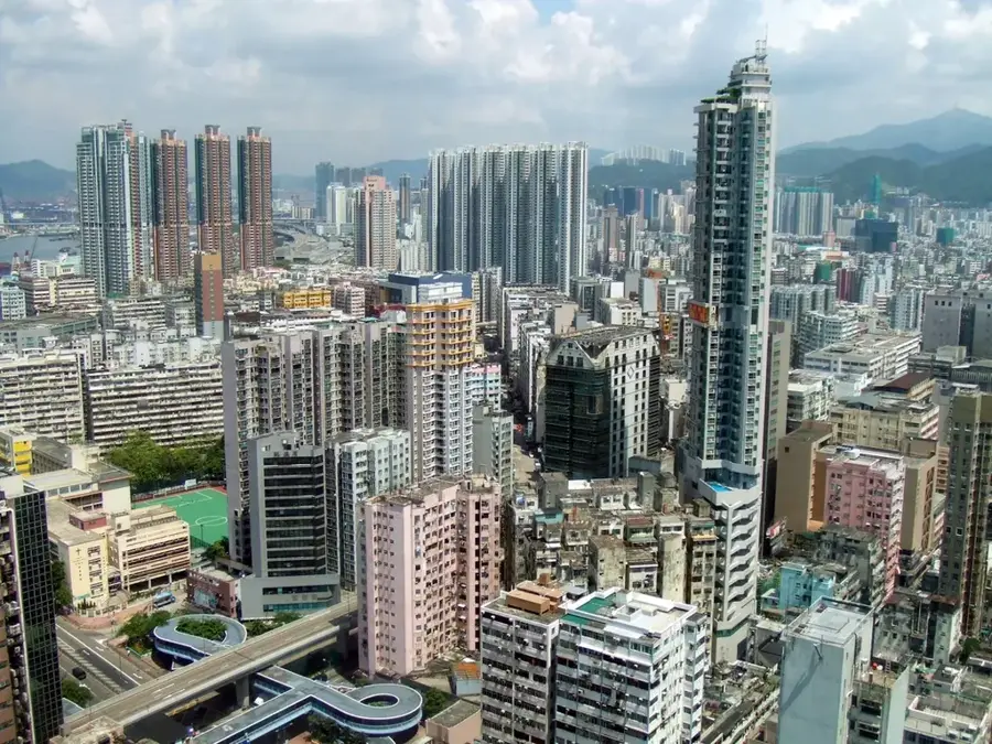
- Nearby: San Po Kong (4 km)
Best time to visit & climate
The most pleasant time to visit is Mar, Nov, Dec.
| Jan | Feb | Mar | Apr | May | Jun | Jul | Aug | Sep | Oct | Nov | Dec | |
|---|---|---|---|---|---|---|---|---|---|---|---|---|
| Avg °C | 16 | 18 | 20 | 23 | 26 | 28 | 29 | 29 | 28 | 25 | 22 | 17 |
| Rain mm | 35 | 29 | 69 | 109 | 231 | 288 | 197 | 234 | 173 | 56 | 29 | 21 |
📋 Practical info
Geography
Facts
- Elevation: 532 m (1,745 ft)
- Part of the Dragon's Back ridge and Wilson Trail
- Site of a WWII British radar station (1941)
- Over 200 bird species recorded
- 19th-century rice terraces on lower slopes
- Cape D'Aguilar Marine Reserve established 1996
Explore nearby
Notable places around
Route planner — Car & Motorhome
Where do you start? We build the route here, with stops and country notes along the way.
© OpenStreetMap contributors · OpenRouteService
Sights in the town Mount Parker (4)
Sights nearby
Frequently asked questions
Is climbing Mount Parker difficult?
Where does the hiking trail start?
What views can I see from the summit?
Are there toilets along the way?
How long does the round trip hike take?
Mount Parker: where is it located?
Mount Parker: what is there to see?
Mount Parker: when is the best time to visit?
Mount Parker: why is it worth visiting?

Nearby cities