Plizio Visual Lab
Mount Saint Catherine
Weather…
Water temperature…
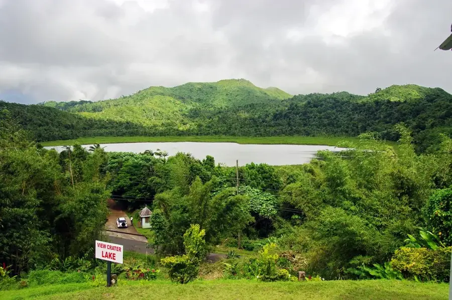
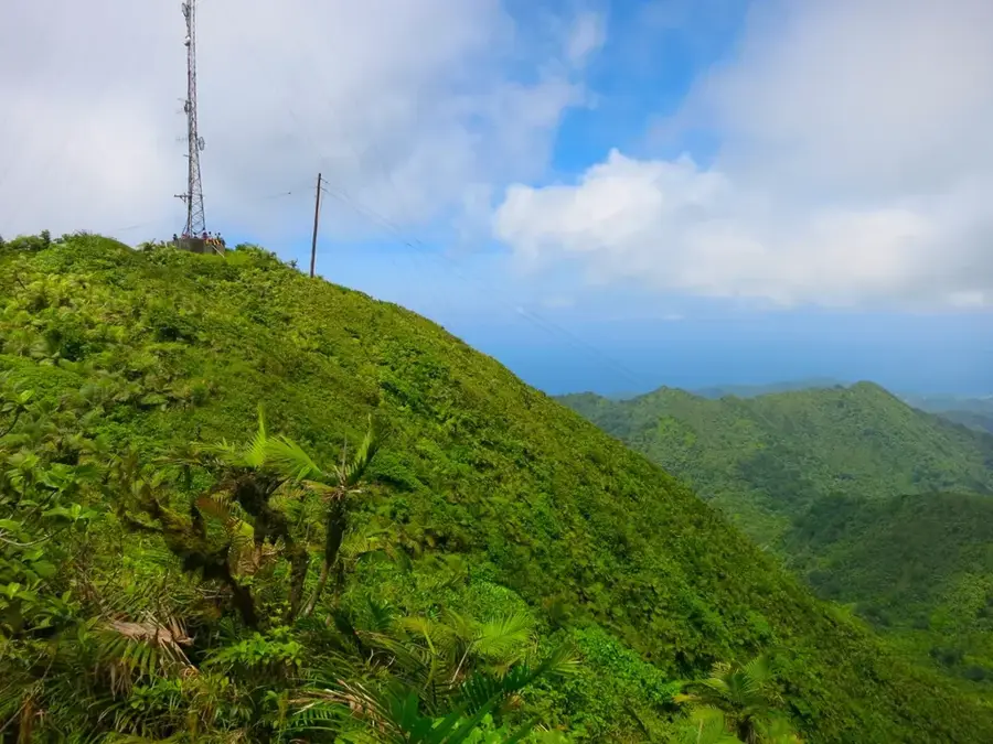
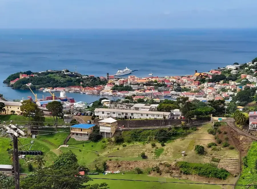
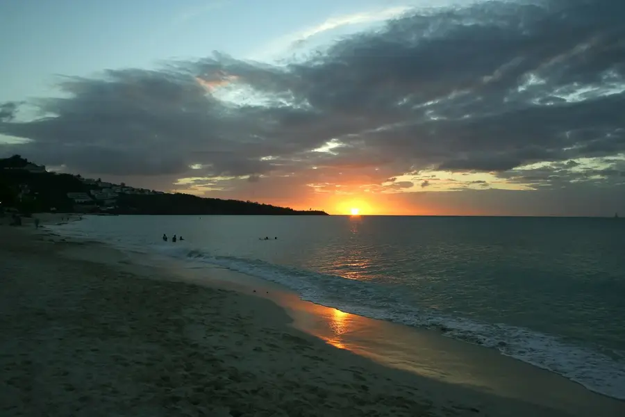
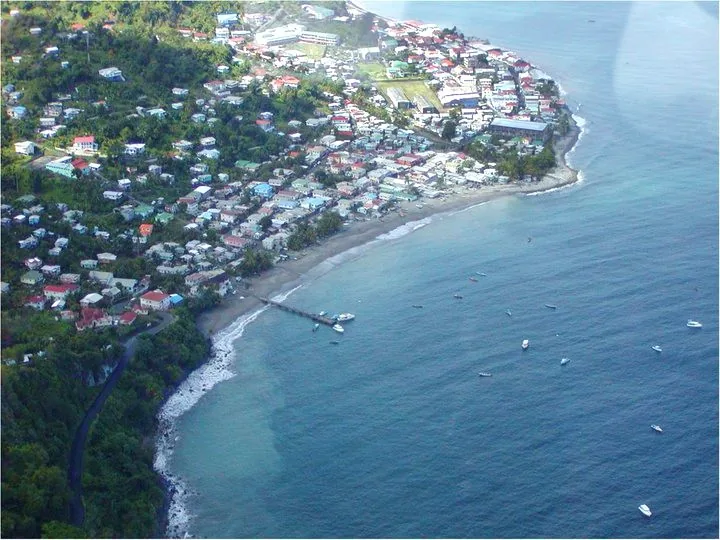
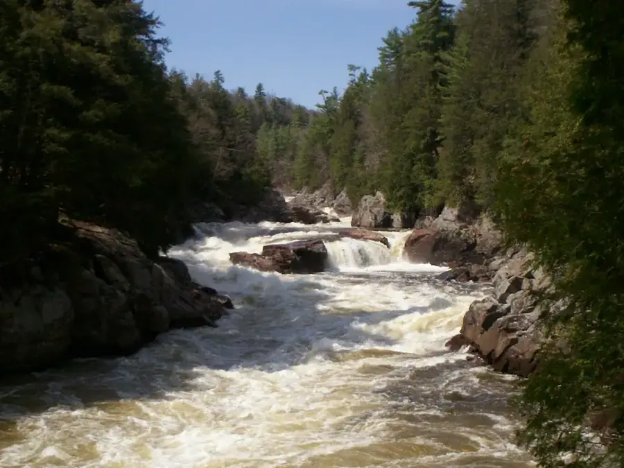
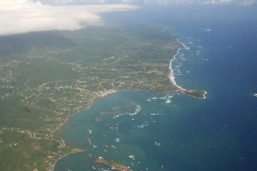
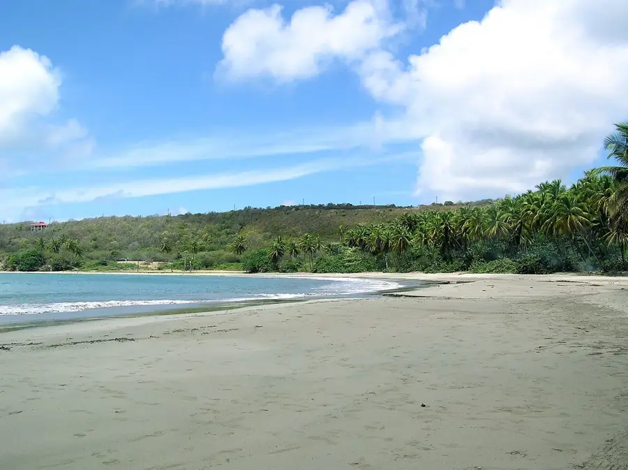
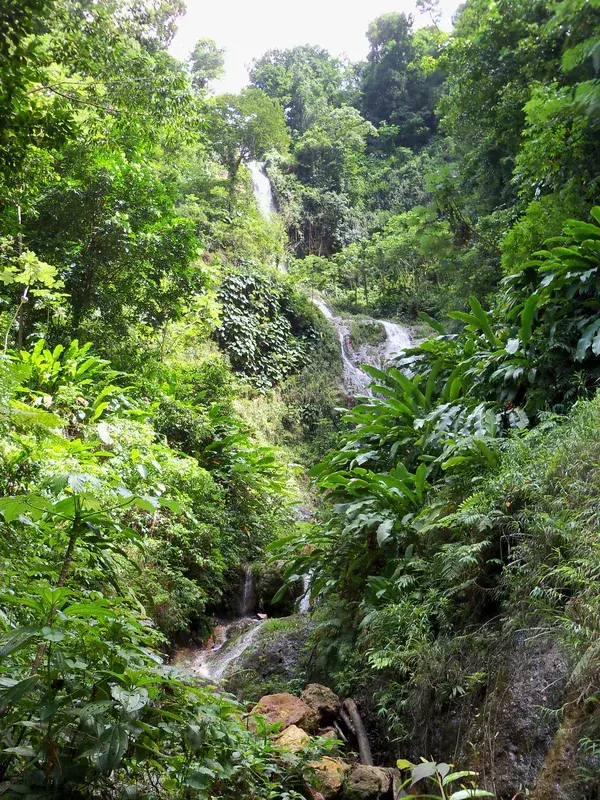
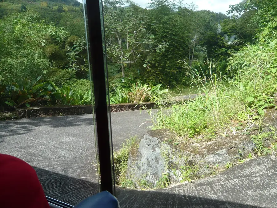
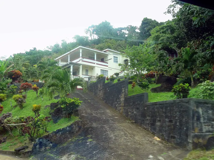
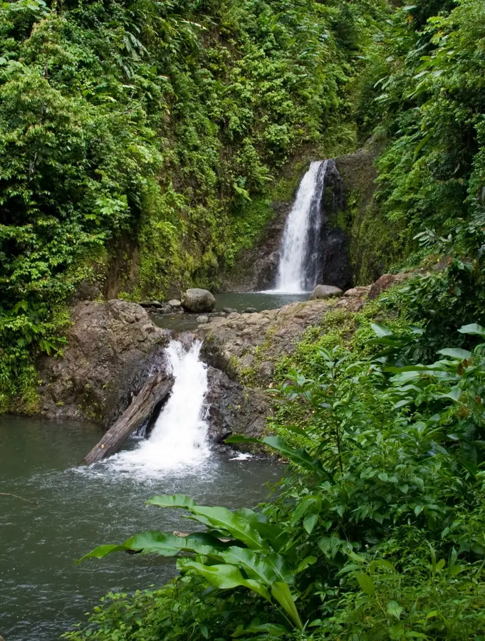
Mount Saint Catherine stands as the highest elevation in Grenada, reaching 840 meters above sea level in the northern part of the island. It is a massive stratovolcano, the youngest of Grenada's five volcanic centers, and its horseshoe-shaped crater opens to the east. The mountain acts as a vital watershed, giving rise to several of the island's major waterways, including the Great River. Hiking to the summit is widely regarded as one of the most demanding outdoor activities in the Caribbean due to the steep, often muddy trails that wind through dense tropical vegetation. As hikers ascend, the landscape transitions from lush rainforest to high-altitude cloud forest, home to unique ferns and orchids. Because of its height and the moisture-laden trade winds, the peak is frequently shrouded in a thick veil of clouds, creating a mysterious and atmospheric environment that defines the island's interior skyline.
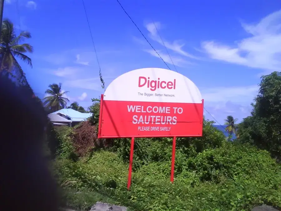
- Location: Grenada
- Top sights: Red River (Grenada) · Maran River · Little River (Grenada)
- Nearby: Saint David's (7 km)
Best time to visit & climate
The most pleasant time to visit is Feb–Apr.
| Jan | Feb | Mar | Apr | May | Jun | Jul | Aug | Sep | Oct | Nov | Dec | |
|---|---|---|---|---|---|---|---|---|---|---|---|---|
| Avg °C | 27 | 26 | 27 | 27 | 28 | 28 | 28 | 28 | 29 | 28 | 28 | 27 |
| Rain mm | 65 | 30 | 34 | 37 | 78 | 135 | 159 | 161 | 141 | 180 | 175 | 108 |
📋 Practical info
Geography
Facts
- Height: 840 meters (2,756 feet)
- Mountain range: Northern Range
- Geology: extinct stratovolcano
- Climbing time: 4 hours
- Annual rainfall: over 4,000 mm (157 inches)
- Protected area: Mount Saint Catherine Forest Reserve
Explore nearby
Notable places around
Route planner — Car & Motorhome
Where do you start? We build the route here, with stops and country notes along the way.
© OpenStreetMap contributors · OpenRouteService
Sights in the town Mount Saint Catherine (3)
Sights nearby
Frequently asked questions
Is Mount Saint Catherine the highest mountain in Grenada?
How difficult is the climb?
Is a guide mandatory?
How long does the hike to the summit take?
Is there a good view from the summit?
Mount Saint Catherine: where is it located?
Mount Saint Catherine: what is there to see?
Mount Saint Catherine: when is the best time to visit?
Mount Saint Catherine: why is it worth visiting?

Nearby cities

History & landmarks
Nature

More places