Plizio Visual Lab
Mount Saos (Fengari)
Weather…
Water temperature…
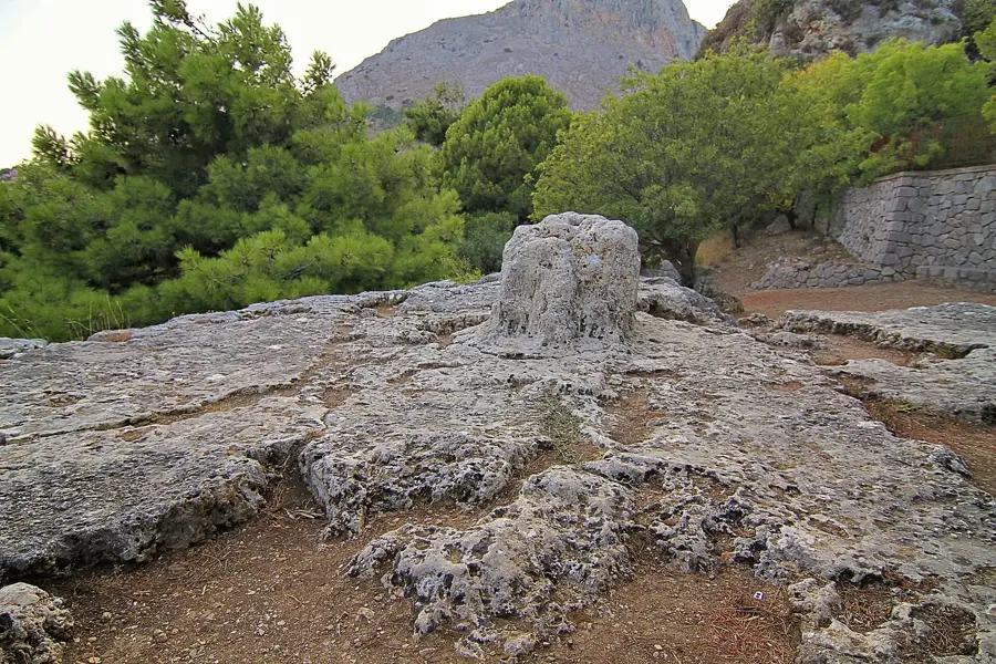
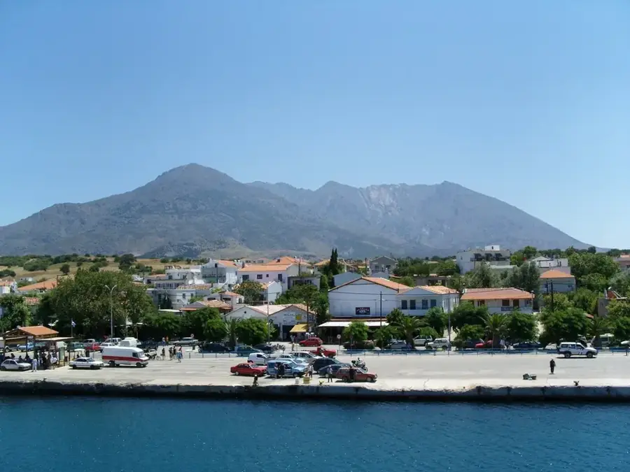
Mount Saos, also known as Fengari, is the dominant mountain massif on the island of Samothrace and, at 1,611 meters, the highest point in the Aegean Islands outside of Crete and Euboea. The name Fengari means "Moon" in Greek, stemming from a local legend that the peak is so high it can obscure the moon from view. In antiquity, it was believed that the sea god Poseidon sat upon the summit of Saos to witness the progress of the Trojan War, highlighting its mythological prestige. The geography of Saos is characterized by rugged granite slopes, deep ravines, and numerous waterfalls that flow into the island's famous "vathres" or natural rock pools. The weather on the mountain is frequently misty and turbulent, making the ascent a challenge for experienced climbers. The area is part of the Natura 2000 network, hosting unique endemic flora and providing a sanctuary for rare bird species among its ancient oak forests.
- Location: Greece
- Top sights: Fengari · peak (1584m) · peak Fengari (1611m)
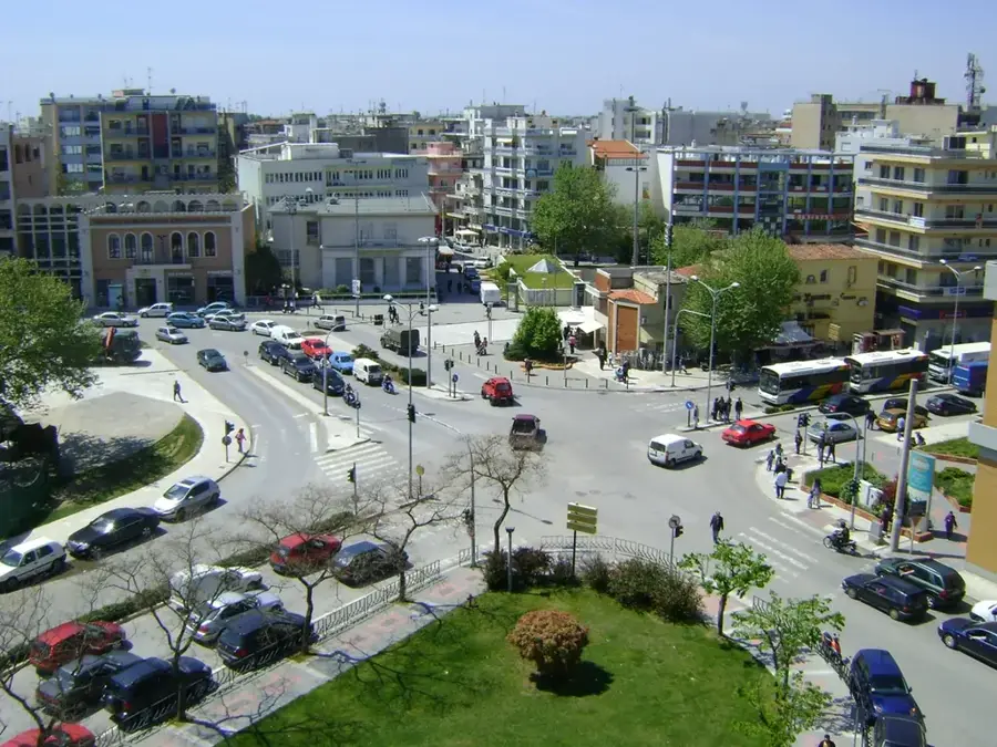
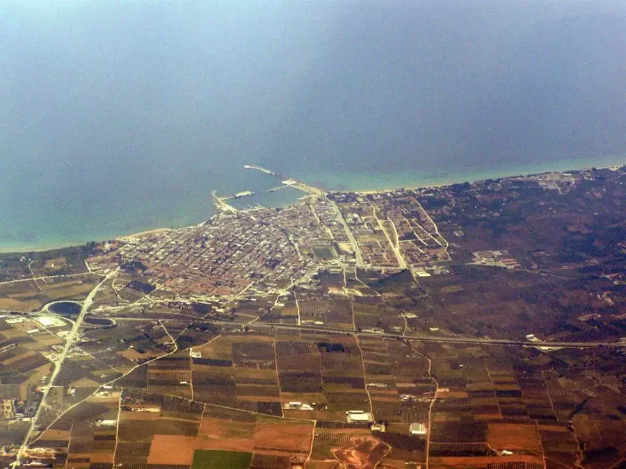
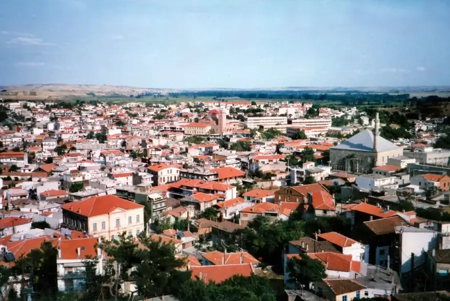
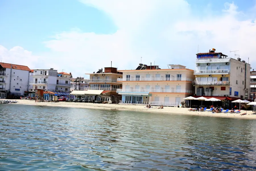
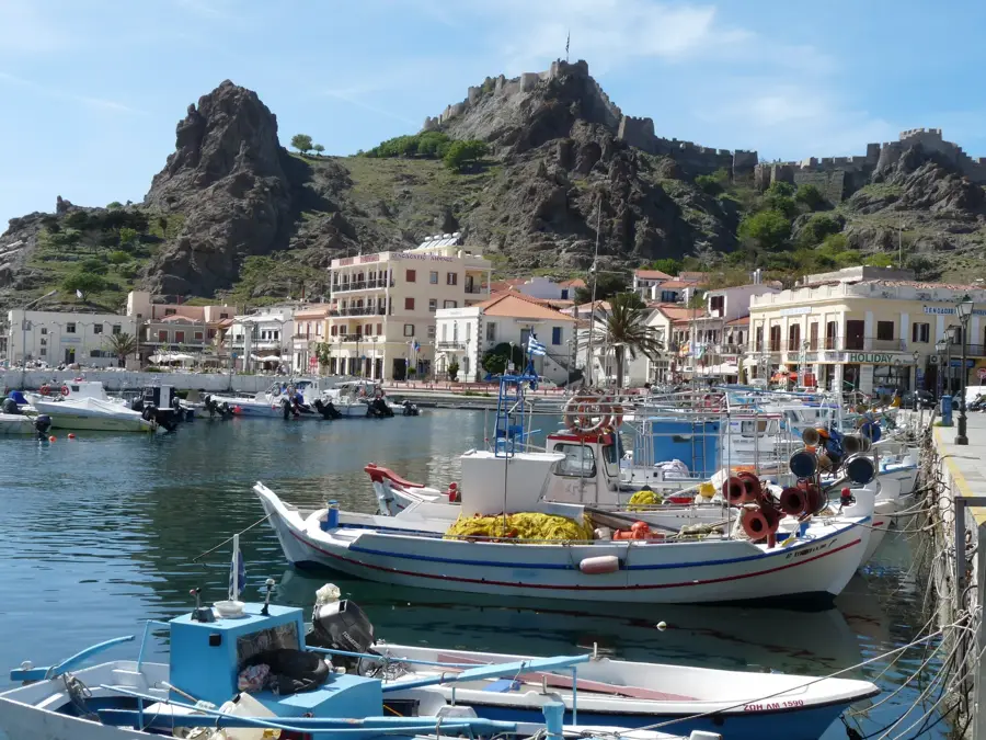
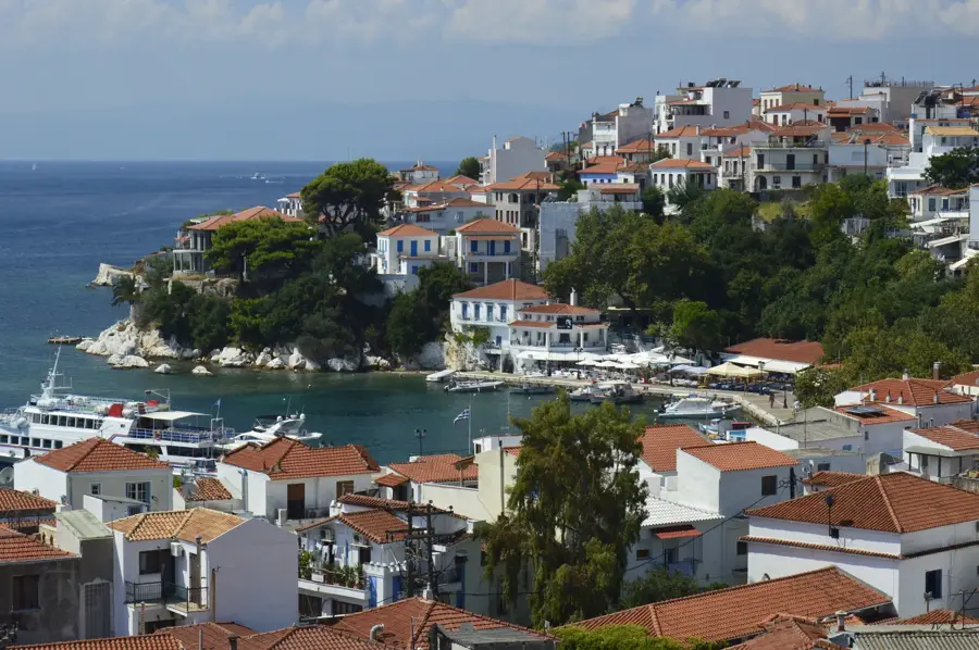
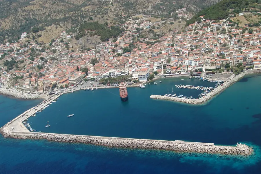
- Nearby: Makrylies (6 km)
Best time to visit & climate
The most pleasant time to visit is May, Jun, Sep.
| Jan | Feb | Mar | Apr | May | Jun | Jul | Aug | Sep | Oct | Nov | Dec | |
|---|---|---|---|---|---|---|---|---|---|---|---|---|
| Avg °C | 9 | 9 | 11 | 14 | 18 | 23 | 26 | 26 | 23 | 18 | 14 | 10 |
| Rain mm | 79 | 61 | 51 | 41 | 37 | 31 | 18 | 11 | 37 | 60 | 68 | 86 |
📋 Practical info
Geography
Facts
- Highest peak in the Aegean (excluding Crete/Euboea).
- Reaches an elevation of 1,611 meters.
- The name Fengari means "Moon" in Greek.
- Mythological seat of Poseidon during the Trojan War.
- Famous for its "vathres" (natural rock pools).
- The mountain is largely composed of granite.
Explore nearby
Notable places around
Route planner — Car & Motorhome
Where do you start? We build the route here, with stops and country notes along the way.
© OpenStreetMap contributors · OpenRouteService
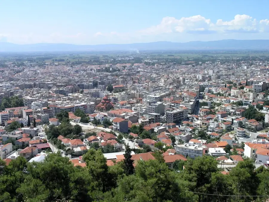
Sights in the town Mount Saos (Fengari) (3)
Sights nearby
Frequently asked questions
Where is the Saos mountain range?
What is the name of the highest peak?
Are there waterfalls there?
Is the ascent to Fengari difficult?
What does the name Fengari mean?
Mount Saos (Fengari): where is it located?
Mount Saos (Fengari): what is there to see?
Mount Saos (Fengari): when is the best time to visit?
Mount Saos (Fengari): why is it worth visiting?

Nearby cities