Plizio Visual Lab
Messara Plain
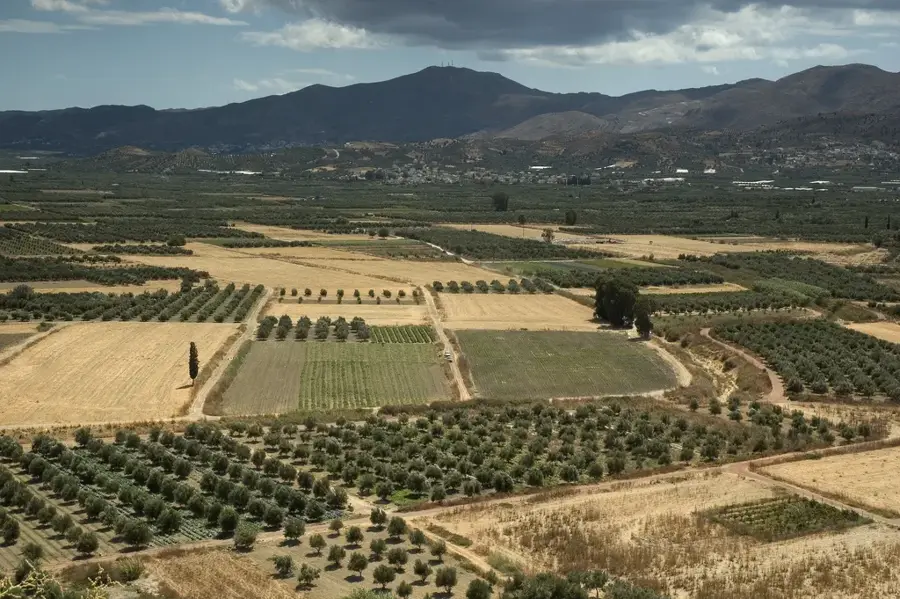
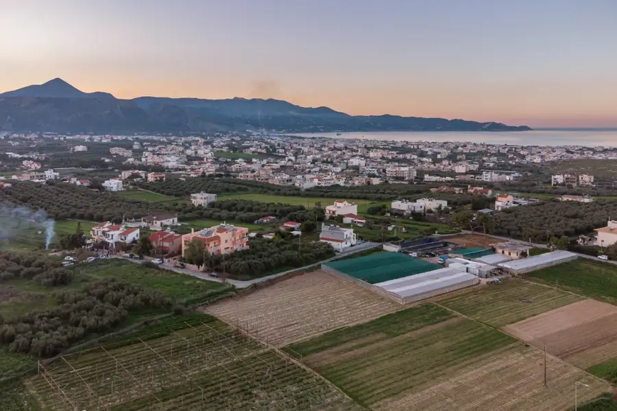
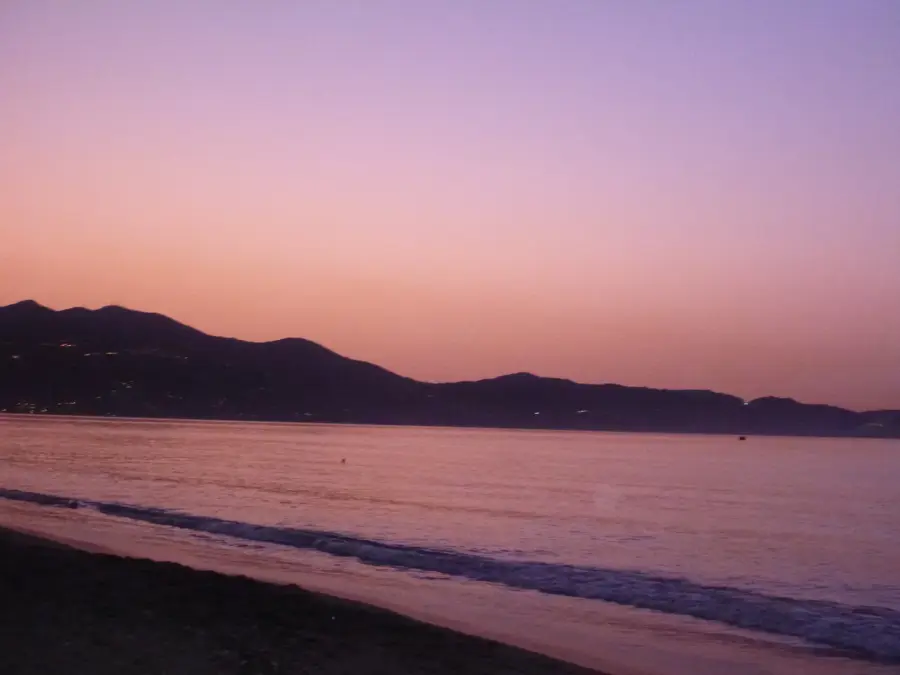
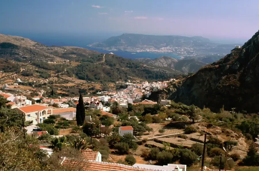
The Messara Plain is the largest alluvial plain on the island of Crete, extending for about 50 kilometers across the southern part of the Heraklion prefecture. Bordered by the imposing Ida Mountains to the north and the Asterousia Mountains to the south, it enjoys a sheltered, nearly subtropical microclimate. The plain has been inhabited since Neolithic times and served as a major economic center for the Minoan civilization, evident in the palace ruins of Phaistos and Agia Triada. Geologically, it is a tectonic graben filled with rich sediments deposited by the Geropotamos River over millennia. During the Roman era, Gortyn, the capital of the province of Creta et Cyrenaica, was the administrative heart of the region. Today, Messara is Crete's primary agricultural region, renowned for its extensive olive groves, vineyards, and greenhouse vegetable production. Its strategic location also provides access to the famous southern coastal resorts like Matala.
- Location: Greece
- Nearby: Antiskari (10 km)
Best time to visit & climate
The most pleasant time to visit is May, Jun, Oct.
| Jan | Feb | Mar | Apr | May | Jun | Jul | Aug | Sep | Oct | Nov | Dec | |
|---|---|---|---|---|---|---|---|---|---|---|---|---|
| Avg °C | 12 | 12 | 13 | 16 | 20 | 24 | 27 | 27 | 25 | 21 | 17 | 13 |
| Rain mm | 101 | 87 | 45 | 29 | 18 | 5 | 3 | 4 | 18 | 50 | 69 | 103 |
📋 Practical info
Geography
Facts
- The plain covers an area of approximately 350 square kilometers.
- Phaistos palace was built on a hill overlooking the western plain.
- The Geropotamos River provides essential irrigation for the region.
- Gortyn was the capital of Crete during the Roman period.
- Messara is one of the most productive olive oil regions in the world.
- The plain is approximately 50 kilometers long and 7 kilometers wide.
Explore nearby
Notable places around
Route planner — Car & Motorhome
Where do you start? We build the route here, with stops and country notes along the way.
© OpenStreetMap contributors · OpenRouteService
Sights in the town Messara Plain (1)
Sights nearby
Frequently asked questions
Where is the Messara Plain located?
What is the archaeological significance?
What is grown in the plain?
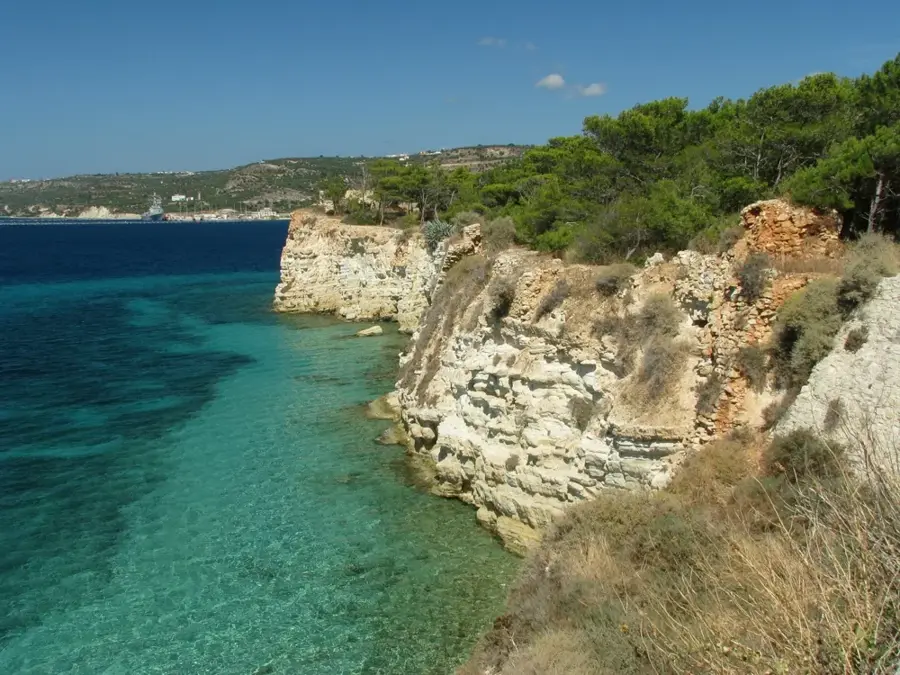
Are there beaches nearby?
What is the climate like there?
Messara Plain: where is it located?
Messara Plain: when is the best time to visit?
Messara Plain: why is it worth visiting?

Nearby cities