Plizio Visual Lab
Fanteakwa Escarpment

Weather…
Water temperature…
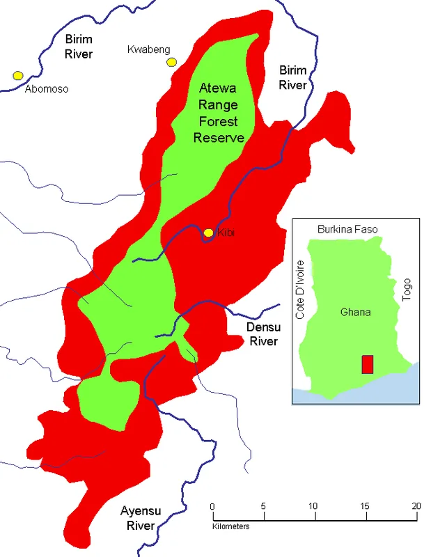
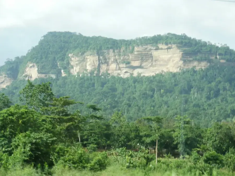
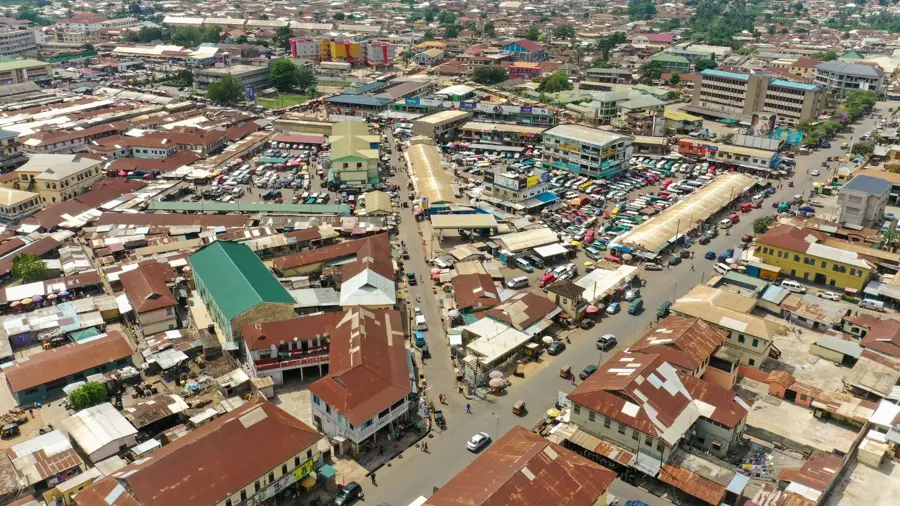
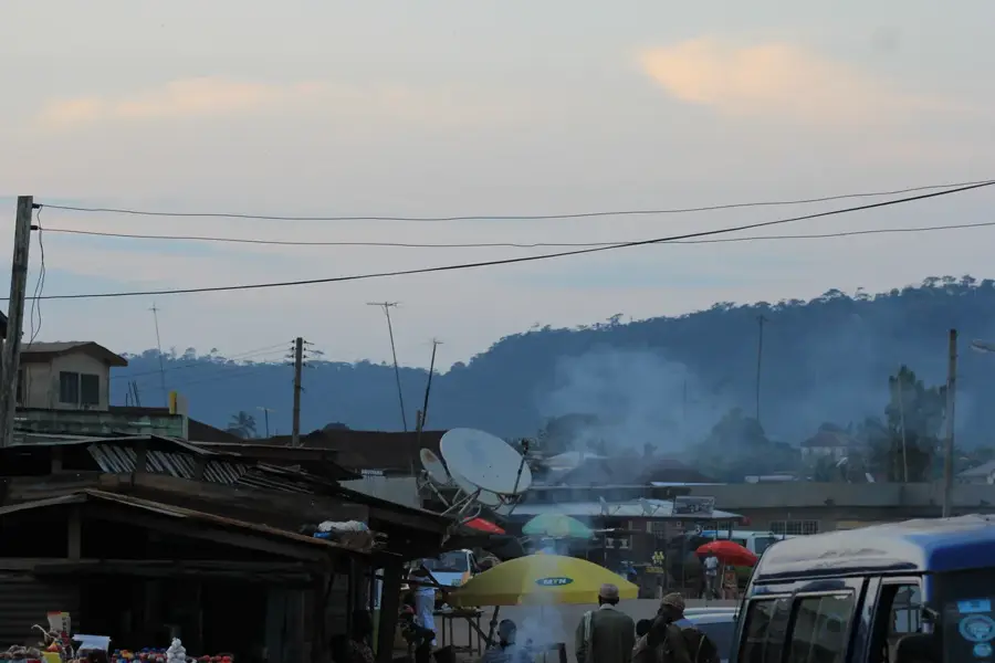
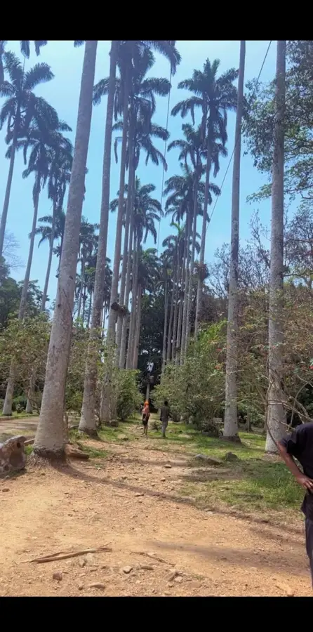
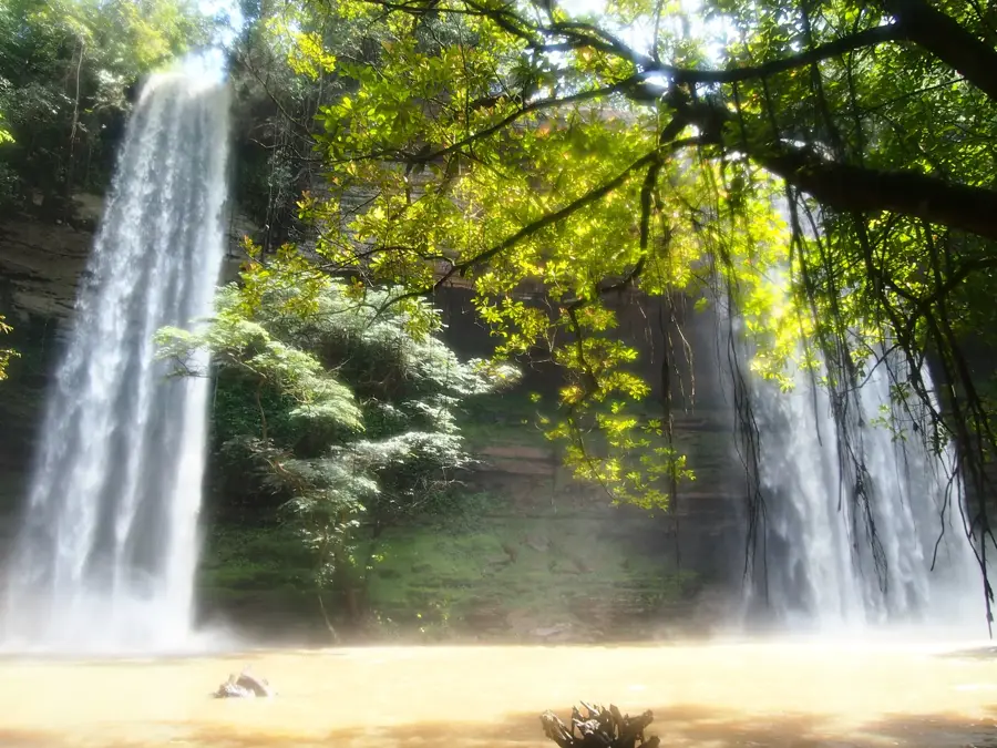
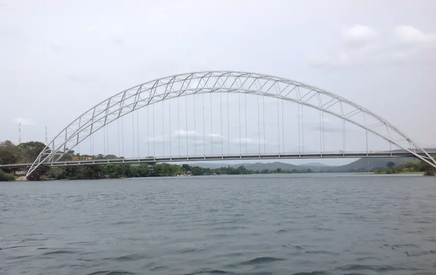
The Fanteakwa Escarpment is a segment of the larger Kwahu Plateau in southeastern Ghana, forming a striking highland area with elevations exceeding 600 meters. This geological formation is composed of resistant Voltaian sandstone and is characterized by sheer cliffs and deeply incised river valleys. The region is of high ecological importance, housing dense forest reserves that act as vital watersheds for numerous smaller rivers. The town of Begoro is the most significant settlement on the plateau, serving as a major agricultural hub for citrus fruits and vegetable production. Due to its elevation, the escarpment enjoys a noticeably cooler and more humid microclimate compared to the surrounding lowlands. Geologically, it marks the southern rim of the Voltaian Basin, providing expansive views across the Afram Plains below. Vegetation ranges from dense semi-deciduous forests on the slopes to wooded savanna on the flatter summit areas.
- Location: Ghana
- Nearby: Begoro (13 km)
Best time to visit & climate
The most pleasant time to visit is Jan, Aug, Dec.
| Jan | Feb | Mar | Apr | May | Jun | Jul | Aug | Sep | Oct | Nov | Dec | |
|---|---|---|---|---|---|---|---|---|---|---|---|---|
| Avg °C | 27 | 28 | 28 | 27 | 27 | 25 | 24 | 25 | 25 | 25 | 26 | 26 |
| Rain mm | 18 | 42 | 96 | 108 | 146 | 194 | 139 | 85 | 168 | 187 | 71 | 18 |
📋 Practical info
Geography
Facts
- Part of the Kwahu Plateau in eastern Ghana
- Peak elevations exceed 600 meters above sea level
- Crucial watershed for numerous local rivers
- Begoro serves as the main agricultural center
- Geologically composed of Voltaian sandstone
- Features a cooler climate than surrounding plains
Explore nearby
Notable places around
Route planner — Car & Motorhome
Where do you start? We build the route here, with stops and country notes along the way.
© OpenStreetMap contributors · OpenRouteService
Sights in the town Fanteakwa Escarpment (1)
Sights nearby
Frequently asked questions
What is the Fanteakwa Escarpment?
Are there famous waterfalls there?
How difficult is hiking there?
What vegetation is found there?
Are there places for visitors to rest?
Fanteakwa Escarpment: where is it located?
Fanteakwa Escarpment: when is the best time to visit?
Fanteakwa Escarpment: why is it worth visiting?

Nearby cities

History & landmarks
Nature
More places