Plizio Visual Lab
Werra-Suhl-Tal
ℹ️Practical info — Werra-Suhl-Tal
▾
🌤 Weather — 5 days
📍 Nearby
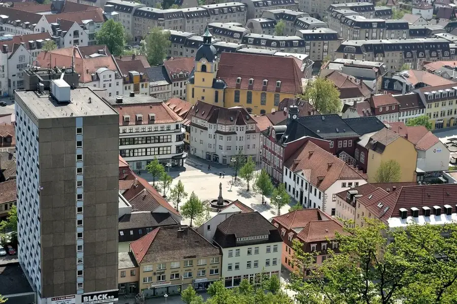
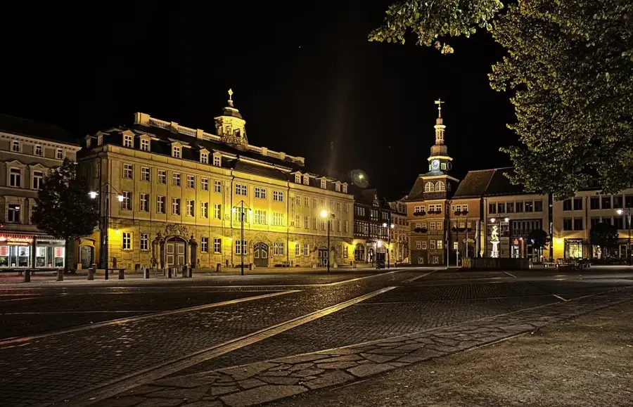
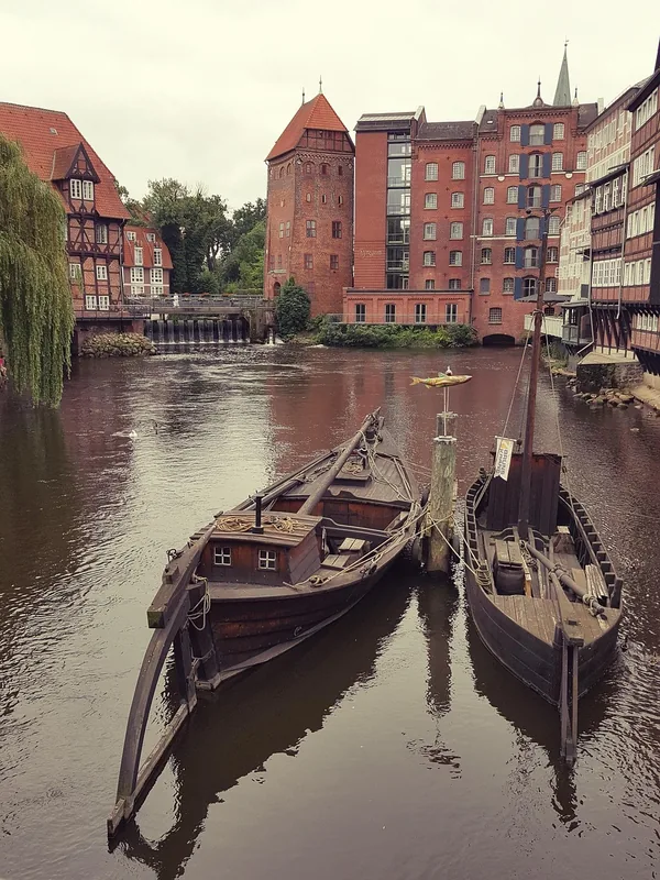
Sights nearby
💡 Tips
- Explore the Werra Cycle Path, which leads through photogenic river landscapes and historic districts like Berka.
- Visit the Rhaden nature reserve near Dankmarshausen for excellent birdwatching opportunities.
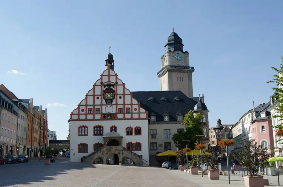
- Admire the magnificent timber-framed town hall in Berka vor der Werra, a landmark of the region.
- Learn about the former Inner German Border; many memorial plaques in the area reflect the history of division.
- Plan a canoe trip on the Werra river to experience the town and its surroundings from a unique perspective.
🍽 Food
Find the authentic specialty at local butchers or grill stands in the various districts.
Local inns often serve fresh fish caught in the Werra river or nearby ponds.
A Sunday staple in traditional restaurants, usually served with a hearty roast and gravy.
🛍 Shopping · 🧘 Quiet spots
Look for signs from local beekeepers in the villages selling honey directly from their farms.
Purchase fresh fruit, vegetables, and sausages directly from agricultural businesses in the area.
Convenient trails for quiet walks by the water, especially between Berka and Dankmarshausen.
A quiet retreat for nature lovers with observation huts set in lush greenery.
Water temperature…
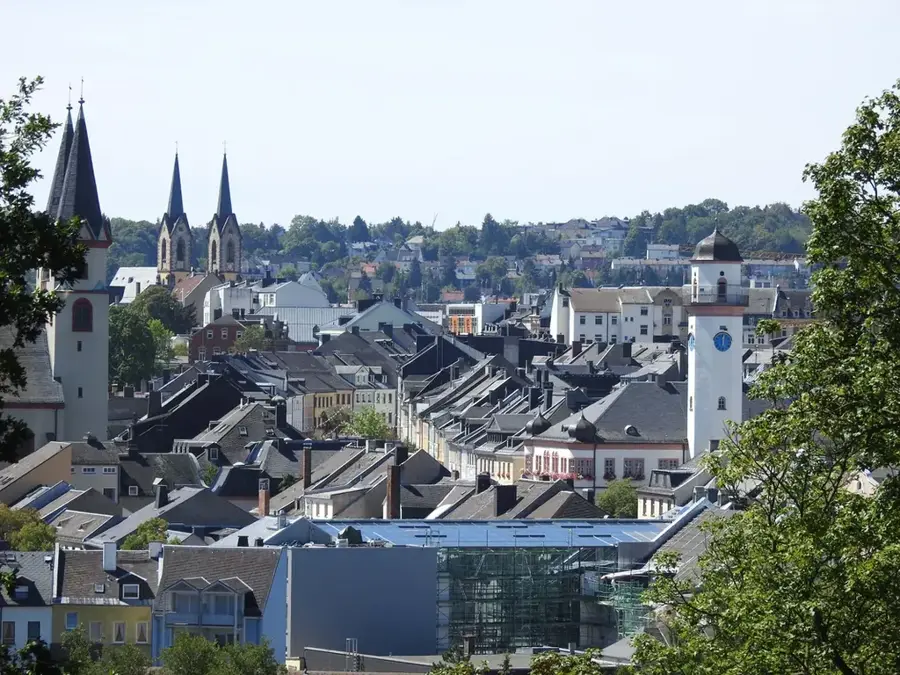
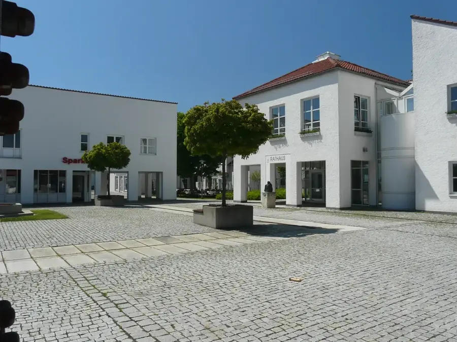
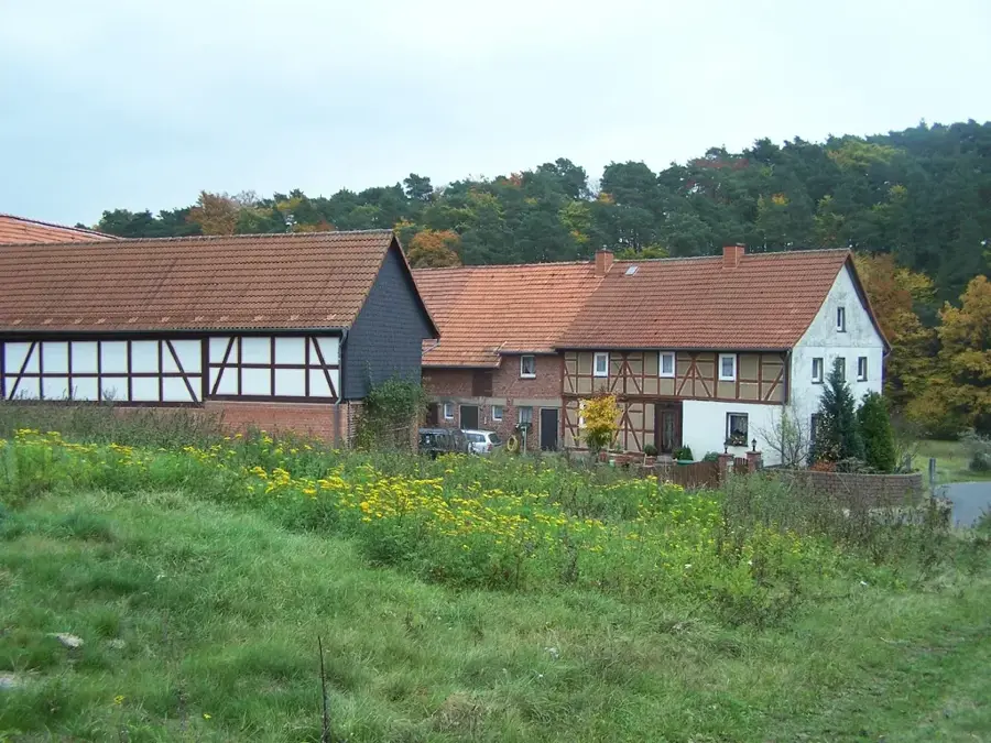
Werra-Suhl-Tal is a Thuringian rural municipality with town rights, formed in January 2019 from the merger of the town of Berka/Werra and several surrounding communities. The region's landscape is shaped by the river valleys of the Werra and the Suhl, which gave the town its name. Historically, the area was marked for decades by its location on the inner-German border, which is now featured in museums and memorial sites. The administrative seat, Berka/Werra, possesses a medieval structure with a distinctive town church and remains of a moated castle. Economically, the region is primarily characterized by the potash industry and medium-sized crafts today. The town provides excellent opportunities for nature tourism through its integration into Germany's Green Belt, particularly for water hikers on the Werra. Community life in the various districts is kept alive by numerous associations and traditional festivals such as the 'Kirmes'.
- Location: Thuringia, Germany
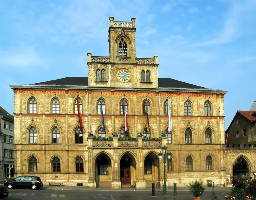
- Top sights: Dippach Castle · Lower Castle Berka · Rhäden Nature Reserve
- Nearby: Sontra (17 km)
- Population: ~6.255
Best time to visit & climate
The most pleasant time to visit is Jun–Aug.
| Jan | Feb | Mar | Apr | May | Jun | Jul | Aug | Sep | Oct | Nov | Dec | |
|---|---|---|---|---|---|---|---|---|---|---|---|---|
| Avg °C | -1 | 0 | 3 | 8 | 12 | 16 | 19 | 18 | 14 | 9 | 4 | 0 |
| Rain mm | 67 | 48 | 52 | 40 | 76 | 65 | 82 | 68 | 58 | 56 | 63 | 68 |
Geography
Facts
- Merger of Berka/Werra, Dankmarshausen, Dippach, and Heringen.
- The total area of the municipality is approximately 77.15 km².
- Located in the southwestern part of the Wartburg district.
- The Renaissance castle in Berka/Werra is a cultural monument.
- Direct connection to the A4 motorway.
- An important point on the Werratal cycling path.
Explore nearby
Notable places around
Route planner — Car & Motorhome
Where do you start? We build the route here, with stops and country notes along the way.
© OpenStreetMap contributors · OpenRouteService
Sights in the town Werra-Suhl-Tal (6)
Frequently asked questions
Which towns belong to Werra-Suhl-Tal?
Is Werra-Suhl-Tal good for hiking?
Are there sights in Berka/Werra?
Can you go canoeing on the Werra river?
How far is it to Wartburg Castle near Eisenach?
Werra-Suhl-Tal: where is it located?
Werra-Suhl-Tal: what is there to see?
Werra-Suhl-Tal: when is the best time to visit?
Werra-Suhl-Tal: why is it worth visiting?

Nearby cities