Plizio Visual Lab
Südliches Anhalt
ℹ️Practical info — Südliches Anhalt
▾
🌤 Weather — 5 days
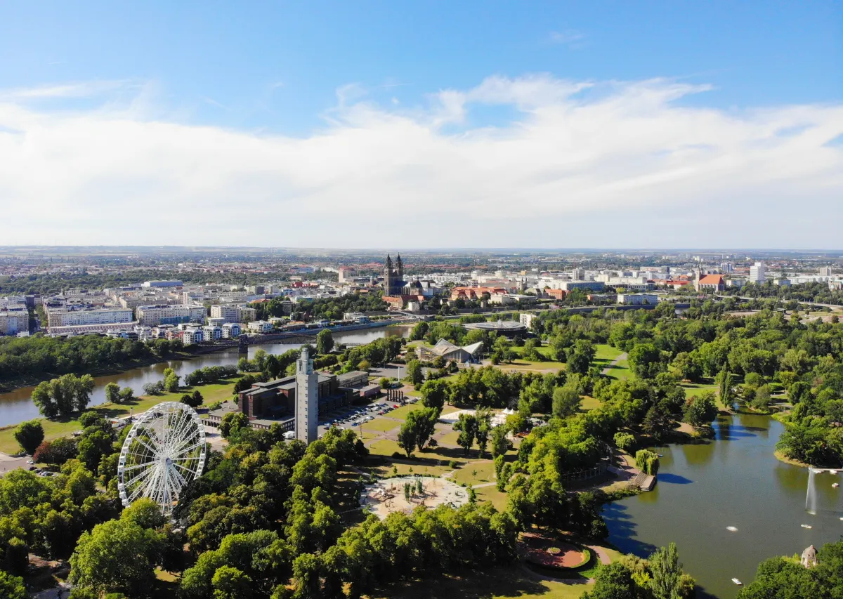
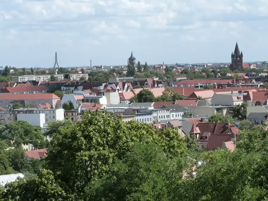
📍 Nearby
Sights nearby
💡 Tips
- A car or e-bike is essential here, as the municipality consists of many widely spread villages.
- The agricultural roads are flat and mostly paved, making them excellent for quiet cycling tours.
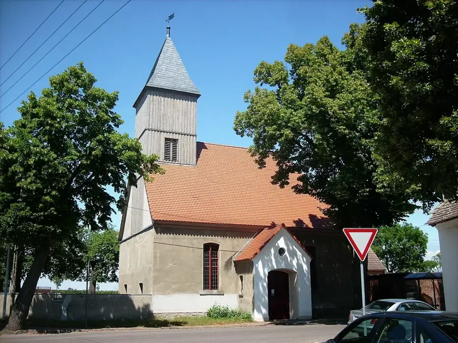
- Check opening hours in advance if you want to visit village churches, as they are often closed on weekdays.
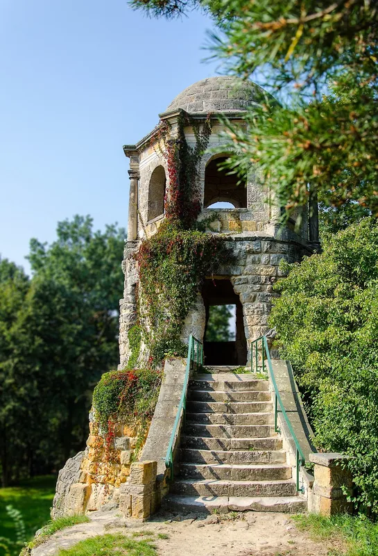
- Keep an eye out for old manor houses hidden in the villages; some have lovely, freely accessible parks.
🍽 Food
A hearty farmer's breakfast of fried potatoes, eggs, and bacon. Ask for it in traditional roadside inns.
A local sheet cake with butter and sugar, best picked up fresh from a village bakery.
Try the locally produced sausages, often available directly from village butchers.
🛍 Shopping · 🧘 Quiet spots
Great for buying seasonal vegetables, local honey, and fresh eggs straight from the producer.
Pick up homemade preserved meats and sausages in glass jars as a local souvenir.
The floodplain of the river Fuhne features peaceful paths to watch birds and enjoy nature.
Seek out the small, historic parks attached to former estates in villages like Gröbzig or Radegast for a quiet break.
Water temperature…
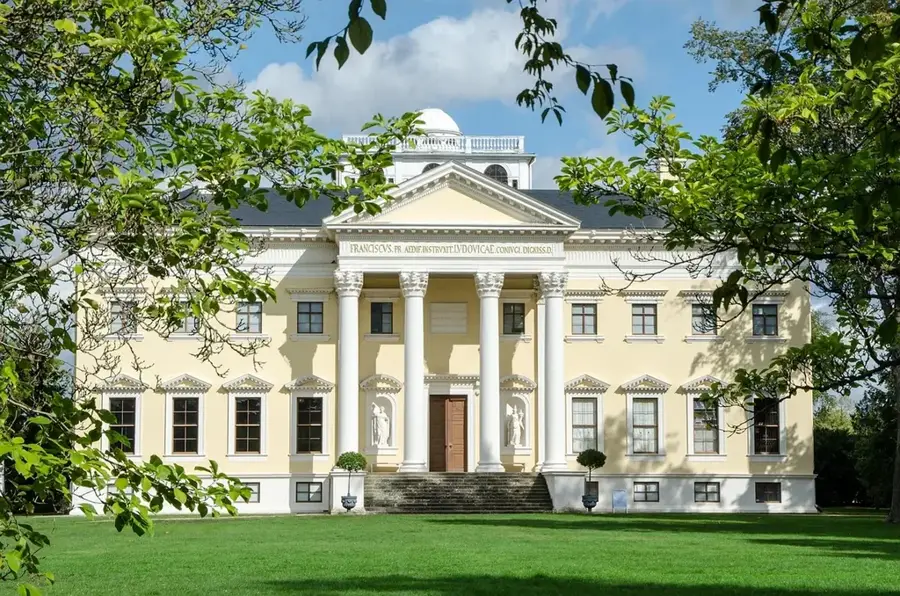
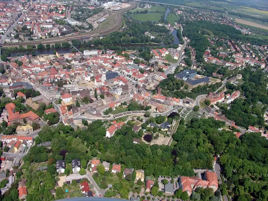
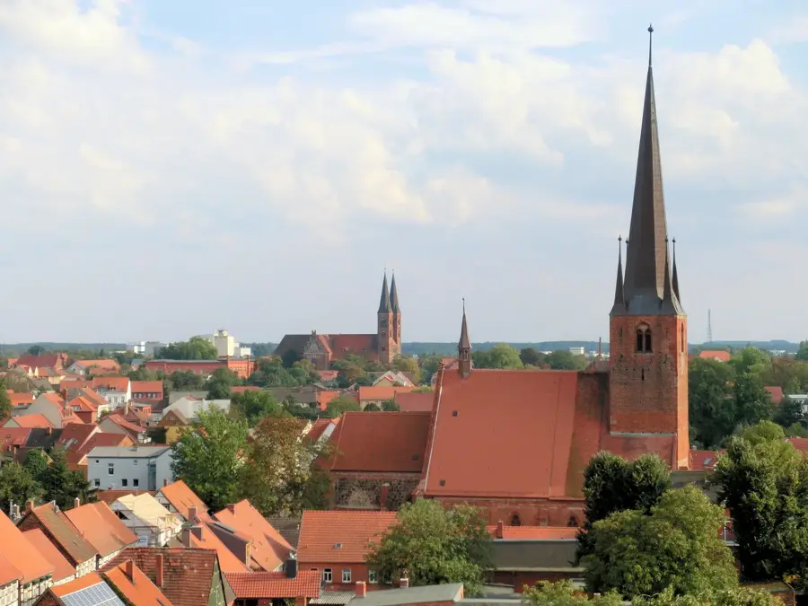
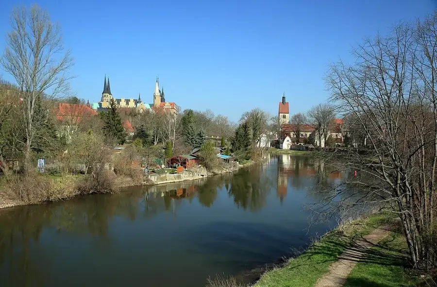
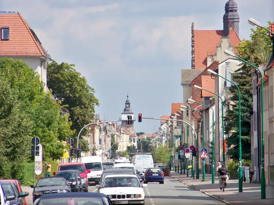
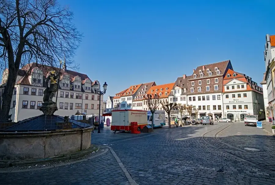
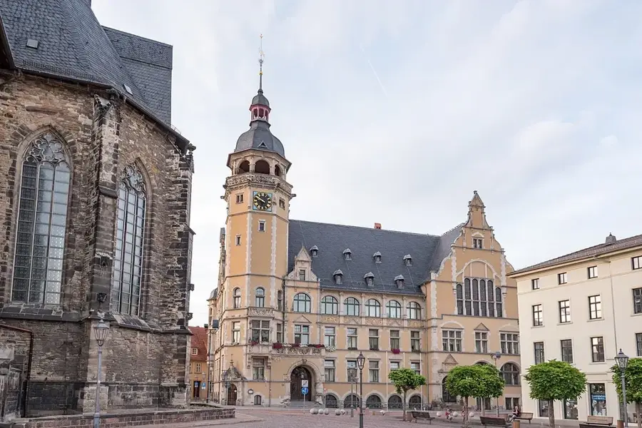
Südliches Anhalt was established in 2010 as a unified municipality in the Anhalt-Bitterfeld district, encompassing a wide, fertile agricultural landscape between Köthen, Bitterfeld, and Dessau. The administrative seat is located in the Weißandt-Gölzau district, which is particularly known for its industrial history in plastics processing and chemicals. The area is part of the historic Anhalt region and preserves many witnesses of this past in its numerous villages, such as old manor houses and village churches. Despite industrial pockets, the municipality's appearance remains dominated by expansive fields and wind energy use. Südliches Anhalt is an example of rural structural change in eastern Germany, where the town attempts to combine modern commercial settlements with the preservation of village communities. The flat topography makes the area good for cycling tours following the traces of the Ascania princes.
- Location: Saxony-Anhalt, Germany
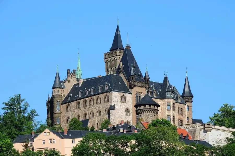
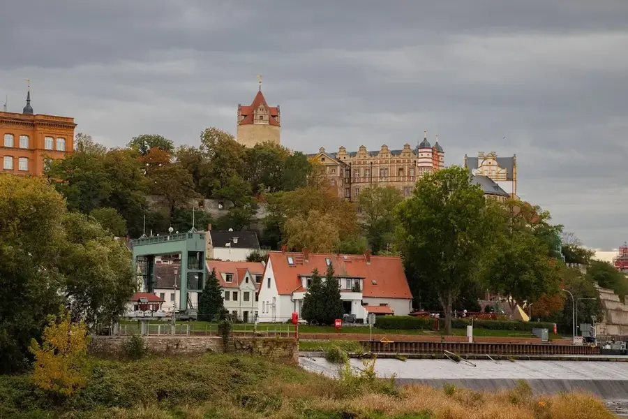
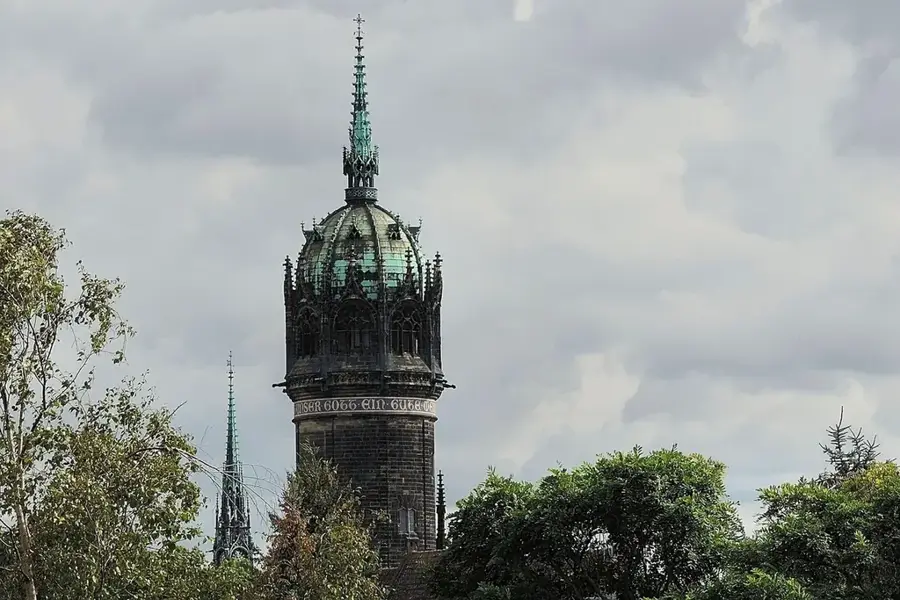
- Top sights: Weißandt-Gölzau Castle · Lake Edderitz · St. Germanus Church
- Nearby: Zörbig (9 km)
- Population: ~13.004
Best time to visit & climate
The most pleasant time to visit is Jun–Aug.
| Jan | Feb | Mar | Apr | May | Jun | Jul | Aug | Sep | Oct | Nov | Dec | |
|---|---|---|---|---|---|---|---|---|---|---|---|---|
| Avg °C | 0 | 1 | 4 | 9 | 14 | 18 | 20 | 19 | 15 | 10 | 5 | 1 |
| Rain mm | 48 | 33 | 41 | 32 | 59 | 54 | 76 | 60 | 54 | 45 | 50 | 47 |
Geography
Facts
- Area: 191.54 sq km
- Gölzau shaft was important for lignite mining
- Numerous wind farms in the region
- Good connection to the B183 federal road
- Agricultural yields are among the highest in Germany
- Gölzau has a long tradition in field hockey
Explore nearby
Notable places around
Route planner — Car & Motorhome
Where do you start? We build the route here, with stops and country notes along the way.
© OpenStreetMap contributors · OpenRouteService
Sights in the town Südliches Anhalt (5)
Frequently asked questions
What characterizes the Südliches Anhalt region?
Which sights should one visit?
Is Südliches Anhalt suitable for bike tours?
Are there accommodations for tourists?
What is the best way to reach the region?
Südliches Anhalt: where is it located?
Südliches Anhalt: what is there to see?
Südliches Anhalt: when is the best time to visit?
Südliches Anhalt: why is it worth visiting?

Nearby cities