Plizio Visual Lab
Hagenbach
ℹ️Practical info — Hagenbach
▾
🌤 Weather — 5 days
📍 Nearby
Sights nearby
💡 Tips
- Take advantage of the flat terrain for cycling trips through the Bienwald forest or along the Rhine to Karlsruhe.
- Visit the Lourdes Grotto on the northwestern edge of town, a spiritual place of peace in nature.
- Look out for seasonal local produce, especially during the Palatinate asparagus season in spring.
- Explore the Rhine meadows in the Stixwörth nature reserve, great for nature watching right by the river.
- Take a quick trip across the border to the nearby Alsace region in France, only a few kilometers away.
🍽 Food
The region's most famous specialty (stuffed pig's stomach); try it in the wine taverns in the town center.
Enjoy local Riesling and Pinot Blanc wines directly from the nearby vintners.
A Palatinate steamed dumpling specialty, served either sweet with wine sauce or savory with potato soup.
🛍 Shopping · 🧘 Quiet spots
Buy fresh fruit, vegetables, and eggs directly from producers at the surrounding farms.
Pick up fresh lye pretzels or traditional fruit tarts here.
A great spot for regional products and to experience the local community atmosphere.
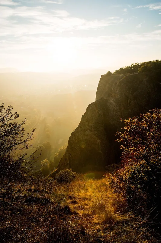
This massive forest area features endless, quiet trails for hikers and cyclists.
The meadows along the riverbank are well-suited for picnics and watching the passing ships.
A quiet spot in the nature reserve, handy for birdwatching and nature lovers.
Water temperature…
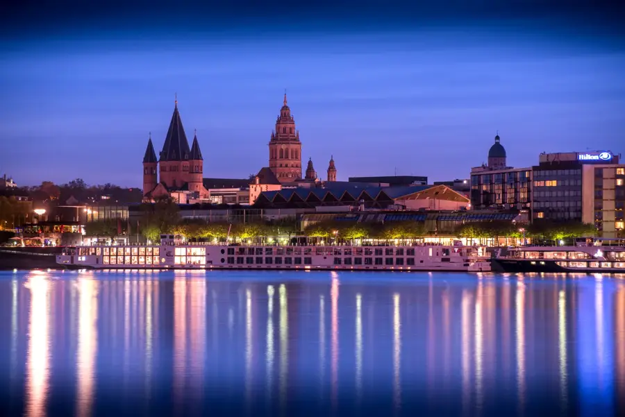
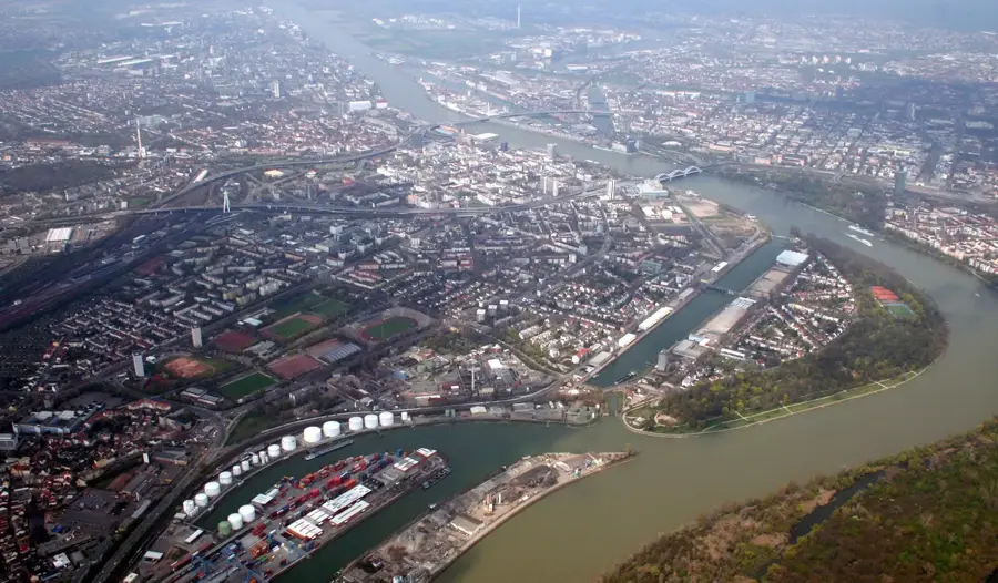
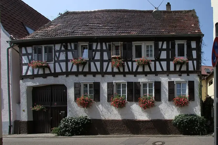
Hagenbach is positioned in the extreme southeast of the Palatinate region, located just a few kilometers from both the Rhine river and the French border. The town sits directly on the edge of the Bienwald, a large, deeply forested area known for its ancient oak and pine trees, which serves as a massive reservoir for regional biodiversity. This setting makes the town a primary starting point for long-distance cyclists and hikers navigating the flat, accessible trails between Germany and the Alsace region in France. At the center of the settlement stands the Catholic Parish Church of St. Michael, which anchors the historical townscape with its robust architectural presence. The local economy and culture are heavily influenced by agriculture and cross-border trade, reflected in the culinary offerings of the local inns where traditional German dishes meet subtle French influences. Several small lakes formed from former gravel pits surround the municipal area, providing quiet spots for angling and bird watching. For visitors, Hagenbach represents a very tranquil, nature-focused alternative to the busier industrial cities located further north along the Rhine valley.
- Location: Rhineland-Palatinate, Germany
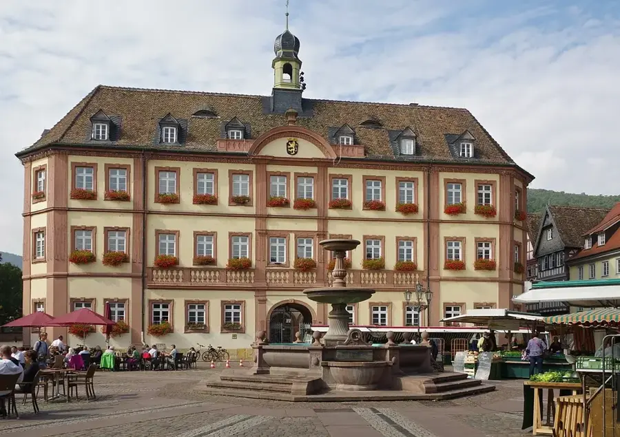
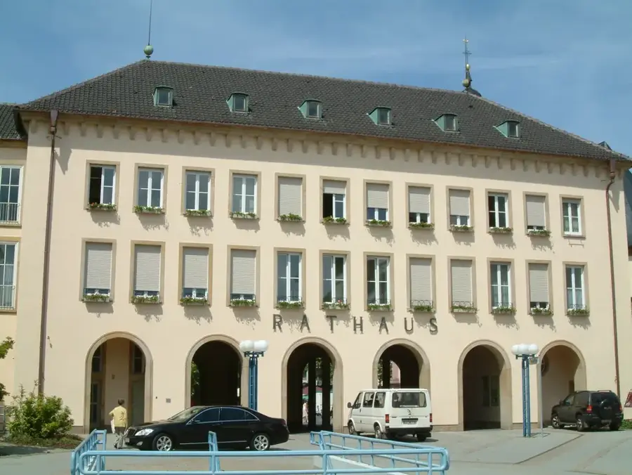
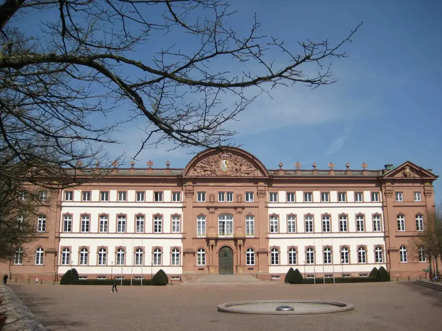
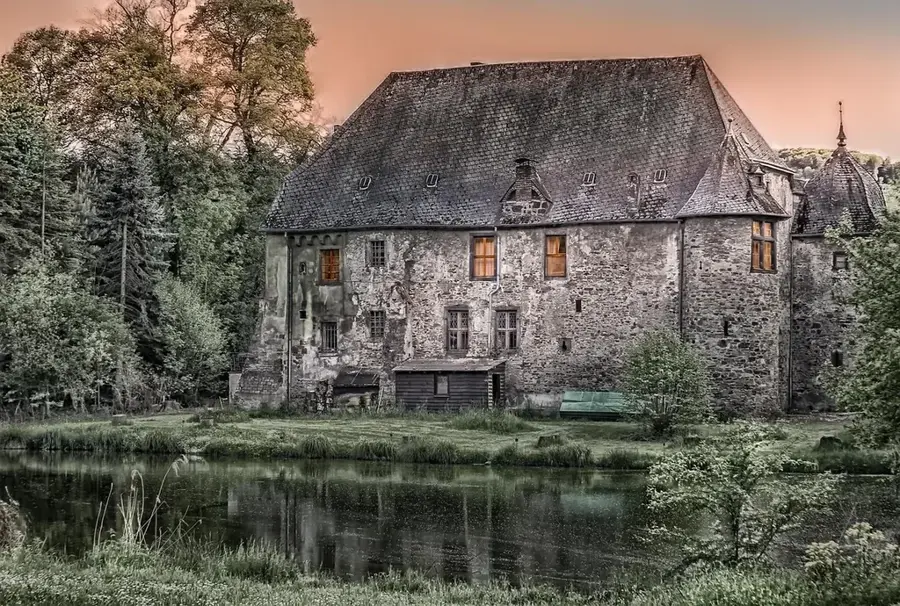
- Top sights: Old Town Hall · Bienwald Forest · Riedried
- Nearby: Rheinstetten (7 km)
- Population: ~5.551
Best time to visit & climate
The most pleasant time to visit is Jun–Aug.
| Jan | Feb | Mar | Apr | May | Jun | Jul | Aug | Sep | Oct | Nov | Dec | |
|---|---|---|---|---|---|---|---|---|---|---|---|---|
| Avg °C | 1 | 2 | 6 | 10 | 15 | 19 | 21 | 20 | 16 | 11 | 5 | 2 |
| Rain mm | 61 | 48 | 52 | 44 | 74 | 66 | 71 | 73 | 53 | 64 | 61 | 72 |
Geography
Facts
- First documented mention in 820 as 'Haganbach'.
- Granting of city rights on March 31, 1281.
- The Bienwald forest covers an area of about 12,000 hectares right outside the town.
- The city area is approximately 2.85 square kilometers (very densely populated).
- Hagenbach is located at an altitude of 104 meters above sea level.
- Connected to the Rhine-Neckar S-Bahn and the Karlsruhe light rail system.
Explore nearby
Notable places around
Route planner — Car & Motorhome
Where do you start? We build the route here, with stops and country notes along the way.
© OpenStreetMap contributors · OpenRouteService
Sights in the town Hagenbach (7)
Frequently asked questions
Where exactly is Hagenbach located?
What can you do in nature around Hagenbach?
Is Hagenbach easily accessible by train?
What attraction does the town center offer?
Is there catering for day-trippers?
Hagenbach: where is it located?
Hagenbach: what is there to see?
Hagenbach: when is the best time to visit?
Hagenbach: why is it worth visiting?

Nearby cities