Plizio Visual Lab
Oder
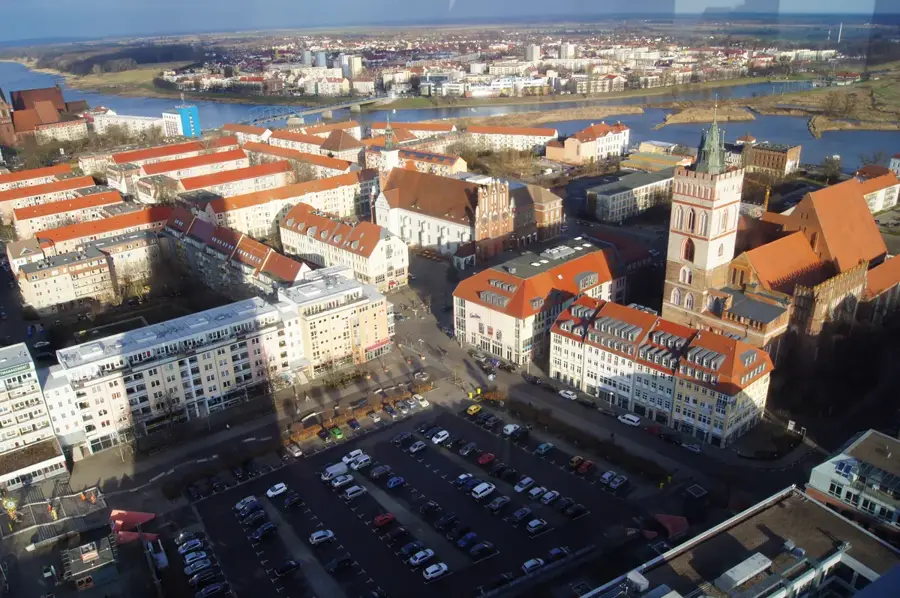
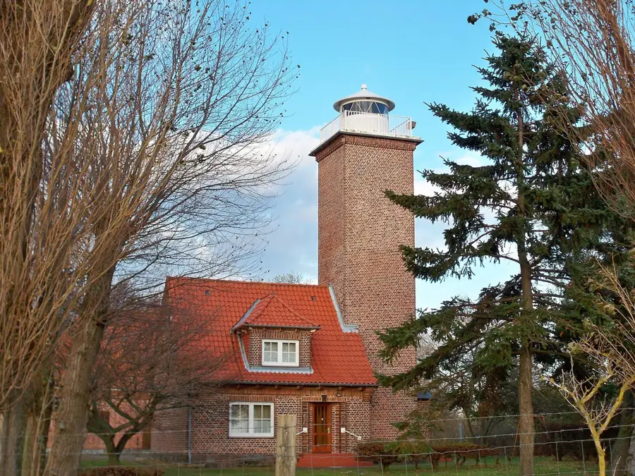
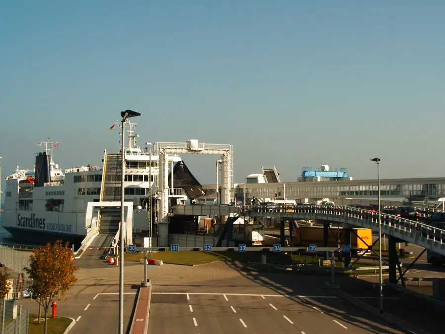
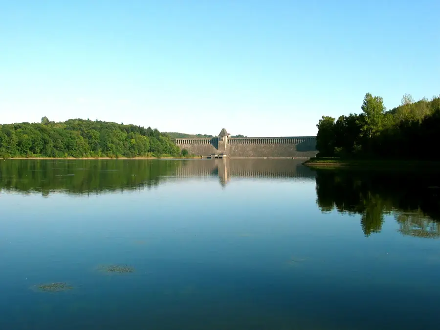
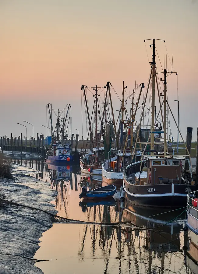
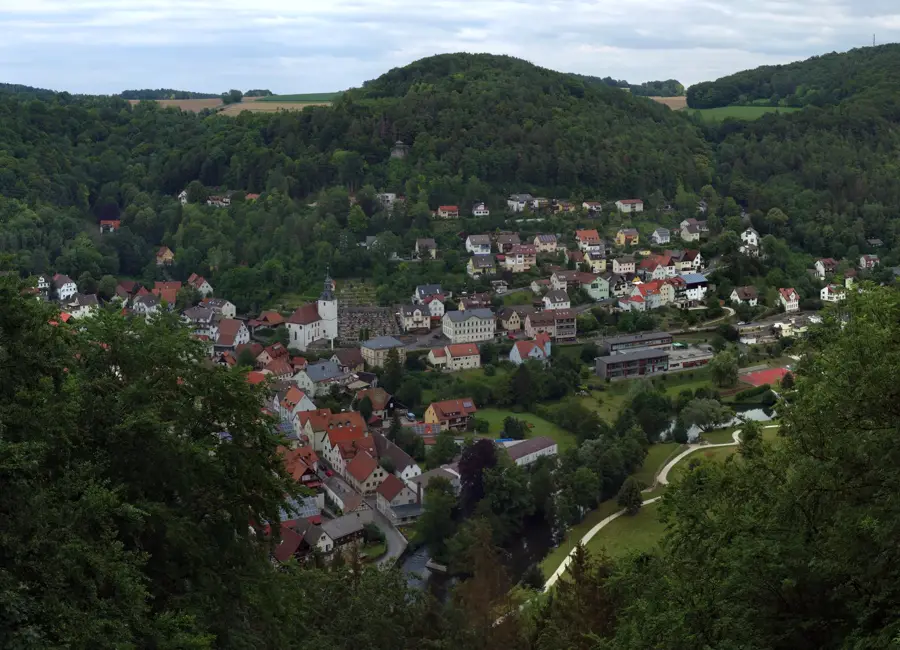
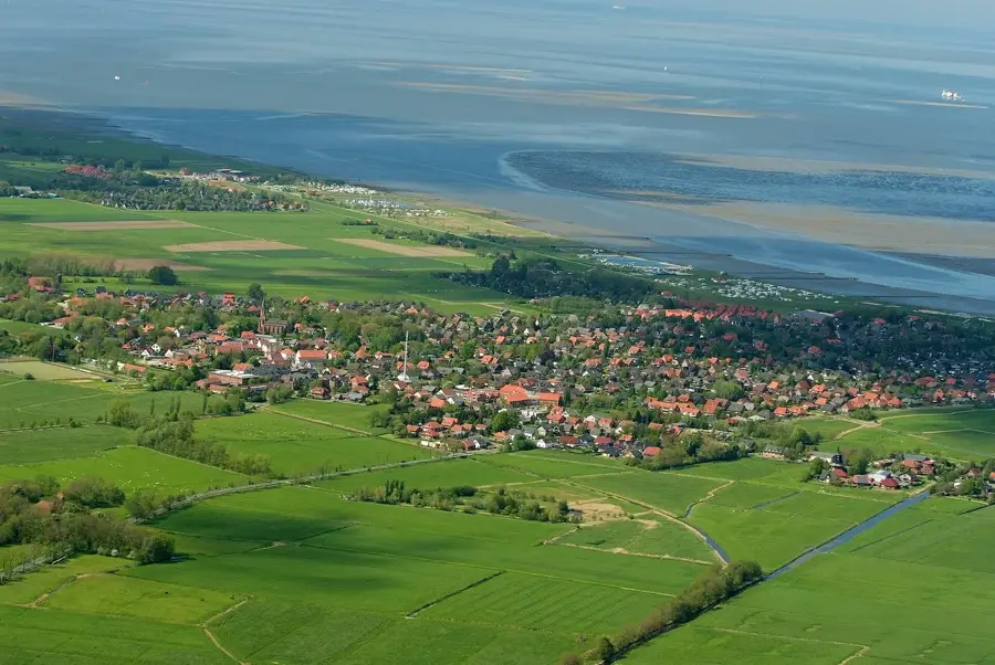
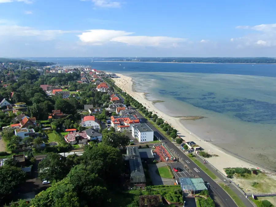
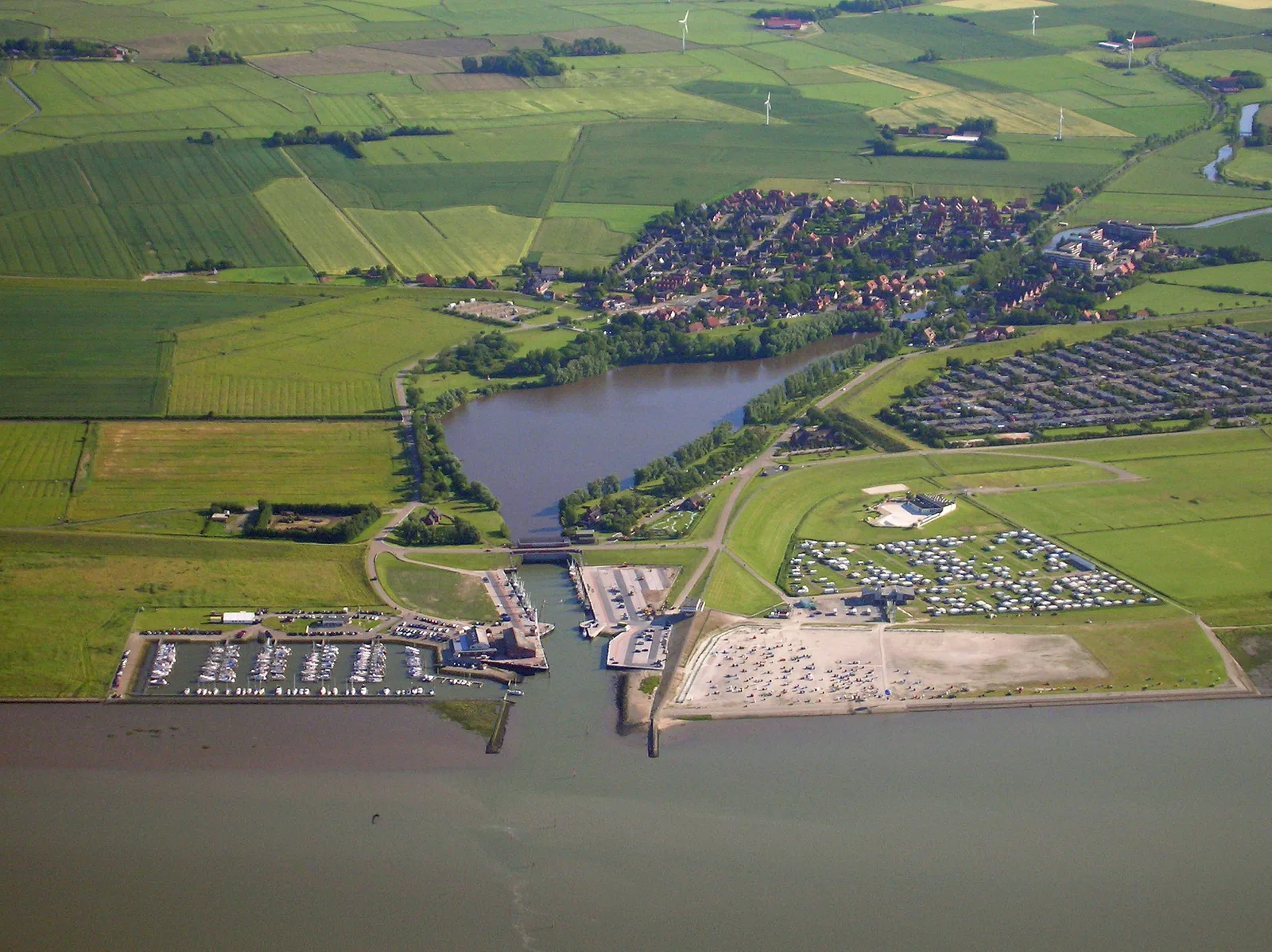
The Oder, with a total length of 854 kilometers, is one of Central Europe's major rivers and forms the national border between Germany and Poland for 162 kilometers. It originates in the Oder Mountains in the Czech Republic at an elevation of 634 meters, flowing north through Silesia and the Lubusz Land toward the Baltic Sea. Its drainage basin covers approximately 119,000 square kilometers and is ecologically defined by the Oder Valley, which hosts one of Central Europe's last near-natural river polder landscapes. Historically, the river gained international legal significance after 1945 as part of the Oder-Neisse line, serving as Poland's new western border. The river passes through key cities such as Wrocław, Frankfurt (Oder), and Szczecin before emptying into the Baltic via the Szczecin Lagoon. Economically, the Oder is an important inland waterway, though its traffic is less than the Rhine's due to variable water depths. The Lower Oder Valley National Park on the German side protects vital floodplain systems that are regularly inundated, providing essential habitats for numerous migratory birds.
- Location: Germany
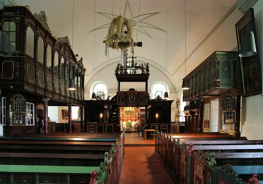
- Top sights: Seniorentheater "Spätlese" e.V. · Park an der St. Gertraudkirche · St. Gertraud
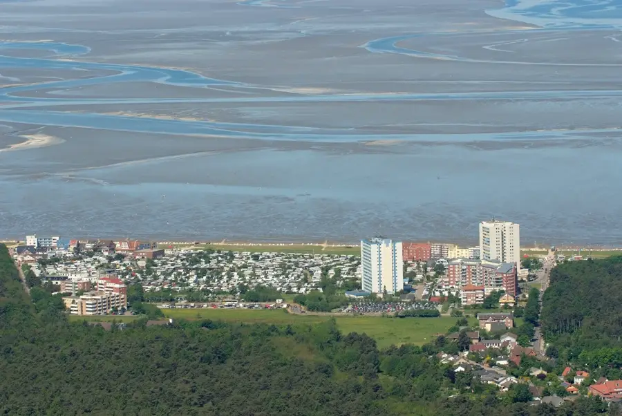
- Nearby: Eisenhüttenstadt (22 km)
Best time to visit & climate
The most pleasant time to visit is Jun–Aug.
| Jan | Feb | Mar | Apr | May | Jun | Jul | Aug | Sep | Oct | Nov | Dec | |
|---|---|---|---|---|---|---|---|---|---|---|---|---|
| Avg °C | -1 | 0 | 4 | 9 | 14 | 18 | 21 | 20 | 15 | 10 | 4 | 1 |
| Rain mm | 52 | 38 | 40 | 30 | 55 | 56 | 82 | 60 | 48 | 47 | 48 | 47 |
📋 Practical info
Geography
Facts
- Length: 854 kilometers from its Czech source to the Baltic Sea.
- Border River: It has formed the German-Polish border since 1945.
- Basin Area: The entire Oder basin covers 118,861 square kilometers.
- Lagoon: The Szczecin Lagoon is the shared estuary of the Oder.
- Conservation: The Lower Oder Valley National Park spans 10,323 hectares.
- Flooding: The 1997 Central European flood caused massive devastation.
Explore nearby
Notable places around
Route planner — Car & Motorhome
Where do you start? We build the route here, with stops and country notes along the way.
© OpenStreetMap contributors · OpenRouteService
Sights in the town Oder (10)
St. Marien
Listed three-nave hall church in Frankfurt (Oder), Brandenburg, Germany.
Kleist Forum
Cultural centre in Frankfurt (Oder), venue for theatre, concerts, and exhibitions.
Anger🌳 park
Park in Frankfurt (Oder), Brandenburg, Germany.
Brandenburgisches Landesmuseum für moderne Kunst🏛 museum
Museum in Germany, showcasing modern art from Brandenburg.
Marktplatz
Street in Frankfurt (Oder), Brandenburg, Germany, historic market square.
Die Oderhähne
Theatre in Frankfurt (Oder), known for its own productions.
Sights nearby
Frequently asked questions
Where does the Oder flow?
Is there a national park on the Oder?
Can you cycle along the Oder?
Into which sea does the Oder flow?
Is there shipping on the Oder?
Oder: where is it located?
Oder: what is there to see?
Oder: when is the best time to visit?
Oder: why is it worth visiting?

Nearby cities