Plizio Visual Lab
Rutesheim
ℹ️Practical info — Rutesheim
▾
🌤 Weather — 5 days
📍 Nearby
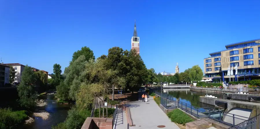
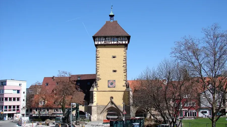
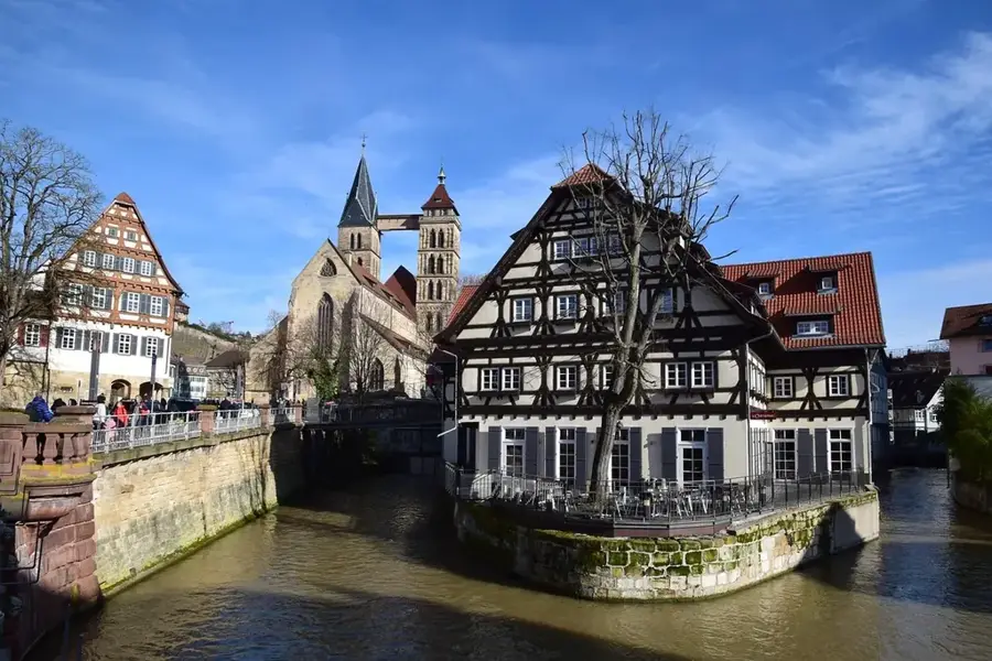
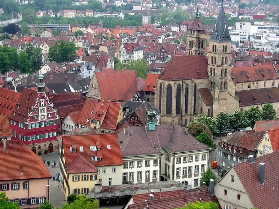
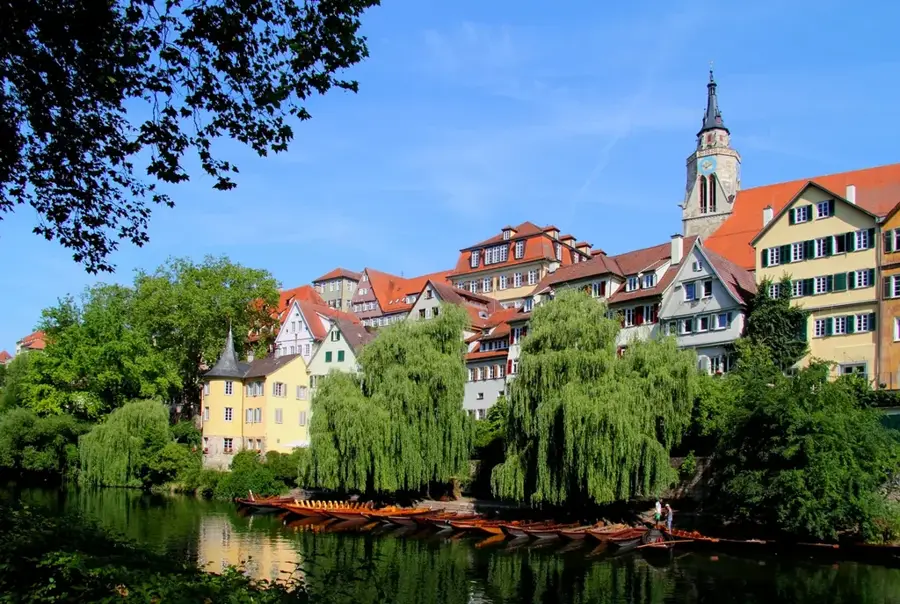
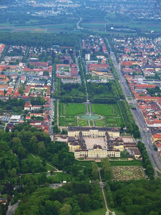
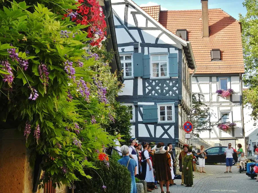
Sights nearby
💡 Tips
- Use the S-Bahn (S6) for a quick and stress-free connection to Stuttgart instead of driving.
- Rent a bike to explore the beautiful Heckengäu landscape surrounding the town.
- Check out the nearby district of Perouse for its unique Waldensian history.
- Visit the local weekly market for fresh regional produce.
🍽 Food
Try these traditional meat-filled dumplings at a cozy Gasthaus in the town center.
A hearty Swabian roast beef with onions, best enjoyed with local beer or wine.
Grab a fresh Swabian pretzel from an artisanal bakery for a morning snack.
🛍 Shopping · 🧘 Quiet spots
Look for farm shops on the outskirts offering fresh apples, cider, and seasonal vegetables.
Held in the center, excellent for buying regional honey and cheese.
A large wooded area on the edge of town, well-suited for long, peaceful walks.
While the climbing park is active, the surrounding forest paths are very quiet.
Water temperature…
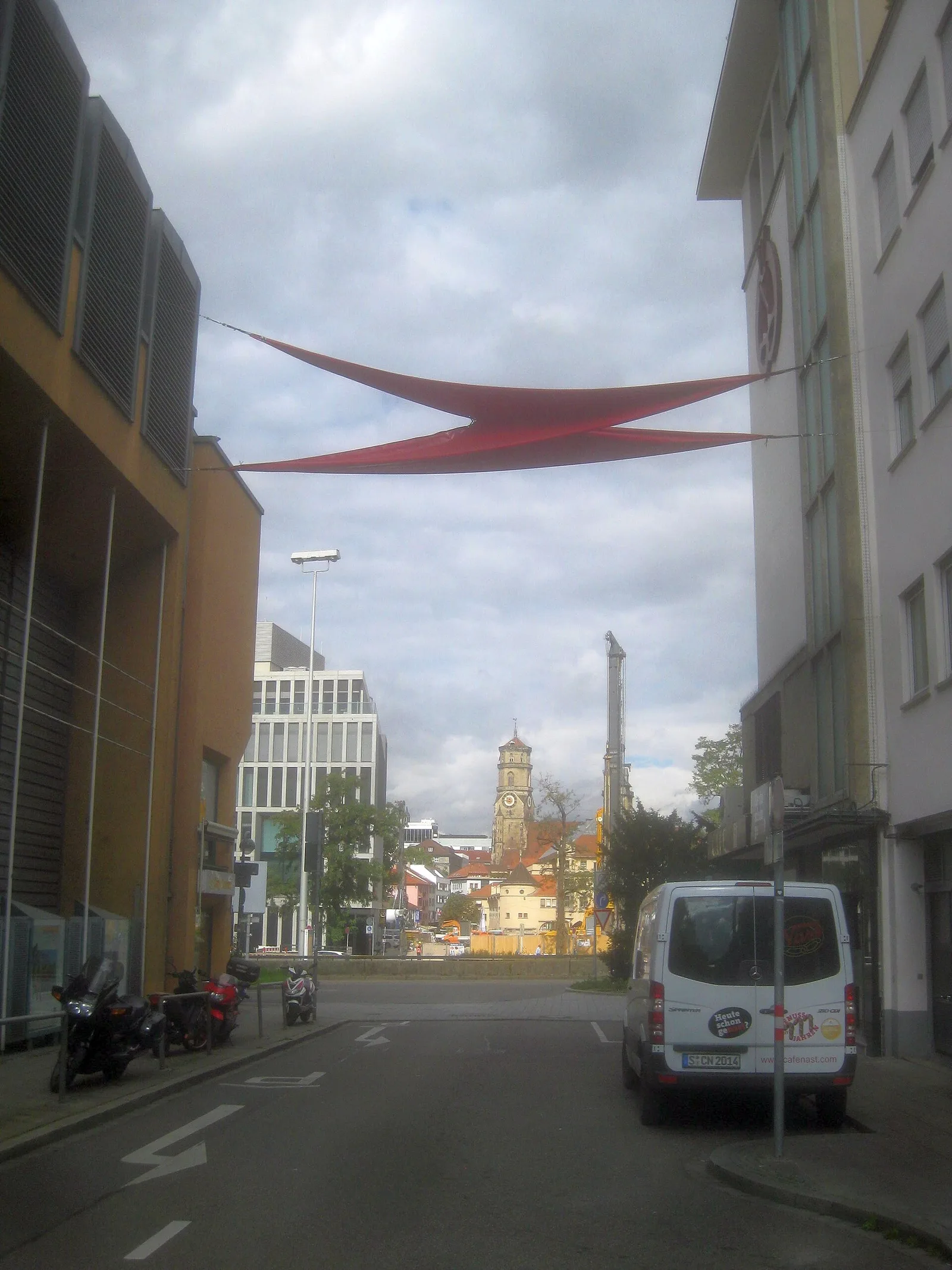
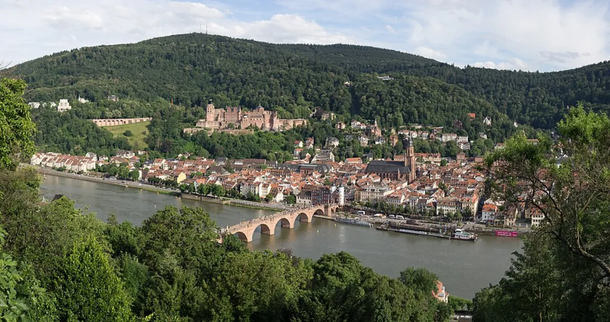
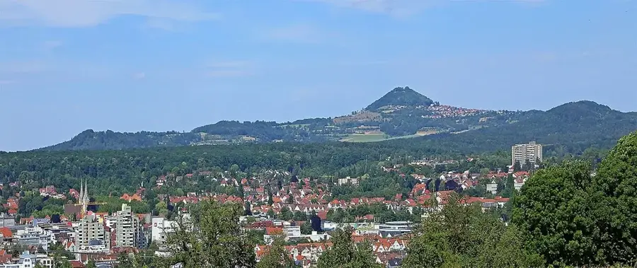
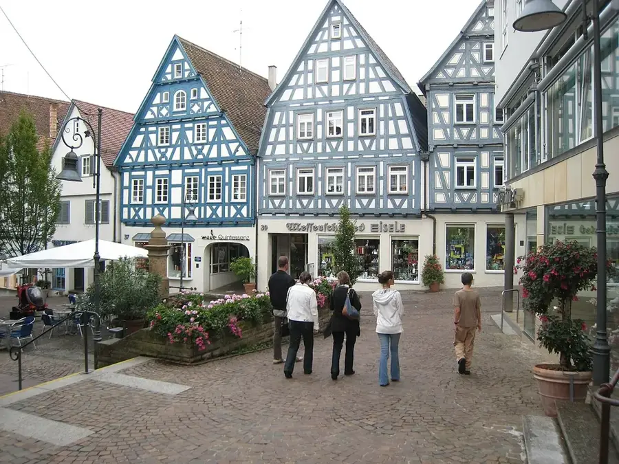
Rutesheim is a thriving town in the Böblingen district, characterized by its prime location directly on the A8 motorway and its proximity to the state capital, Stuttgart. While its settlement history dates back to the Alamannic era, Rutesheim has transformed from a rural village into a modern, prosperous city only in recent decades, a development capped by receiving its city charter in 2008. The town is known for its excellent infrastructure, state-of-the-art educational facilities, and a very active community life. A major draw for the surrounding region is the Rutesheim Leisure Park, which features extensive climbing forests, mini-golf, and a popular woodland restaurant. Despite its dynamic economic growth, Rutesheim has maintained a strong connection to nature, surrounded by lush meadows and forests well-suited for hiking and cycling. The blend of urban convenience and rural charm makes it a highly sought-after residential location for professionals working in the automotive and tech sectors of the Greater Stuttgart area.
- Location: Baden-Württemberg, Germany
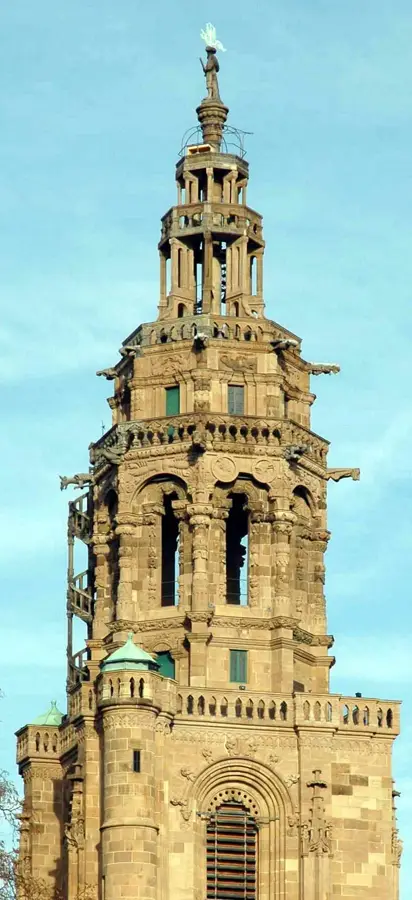
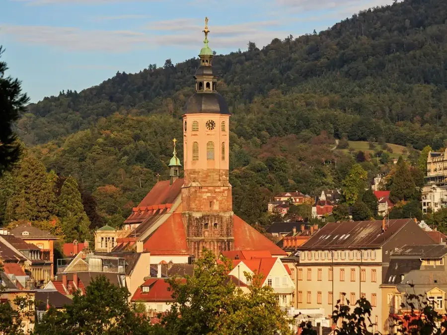
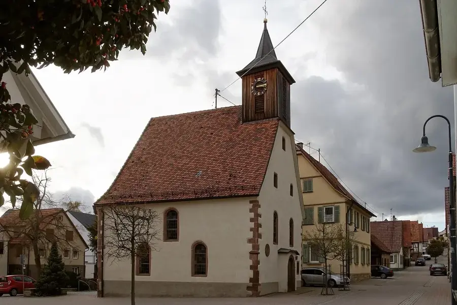
- Top sights: Rutesheim Town Hall · St. John's Church · Rutesheim Leisure Park
- Nearby: Renningen (5 km)
- Population: ~11.194
Best time to visit & climate
The most pleasant time to visit is Jun–Aug.
| Jan | Feb | Mar | Apr | May | Jun | Jul | Aug | Sep | Oct | Nov | Dec | |
|---|---|---|---|---|---|---|---|---|---|---|---|---|
| Avg °C | 0 | 1 | 5 | 9 | 14 | 18 | 20 | 19 | 15 | 10 | 5 | 1 |
| Rain mm | 76 | 58 | 64 | 50 | 86 | 72 | 81 | 81 | 58 | 70 | 70 | 83 |
Geography
Facts
- City Status: Granted on July 1, 2008.
- Elevation: 447 meters above sea level.
- Location: Directly on the A8 motorway exit.
- Leisure: Home to the region's largest climbing forest.
- Education: Large school campus with a Gymnasium.
- Districts: Includes Rutesheim and the historic Perouse.
Explore nearby
Notable places around
Route planner — Car & Motorhome
Where do you start? We build the route here, with stops and country notes along the way.
© OpenStreetMap contributors · OpenRouteService
Sights in the town Rutesheim (8)
Frequently asked questions
What does the Rutesheim leisure park offer?
Is Rutesheim well connected to Stuttgart?
Can you go hiking or jogging there?
What is the Kraxl-Alm?
Are there parking spaces at the leisure park?
Rutesheim: where is it located?
Rutesheim: what is there to see?
Rutesheim: when is the best time to visit?
Rutesheim: why is it worth visiting?

Nearby cities