Plizio Visual Lab
Katzenbuckel
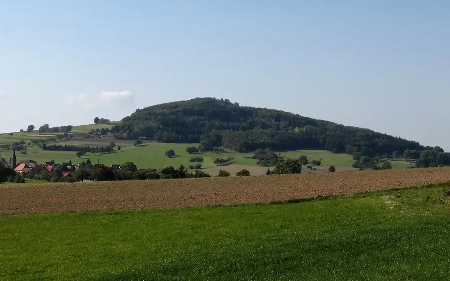
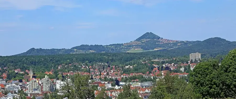
The Katzenbuckel, standing at 626 meters, is the highest elevation in the Odenwald and is located in northern Baden-Württemberg near the municipality of Waldbrunn. Geologically, it is the remnant of an extinct volcano from the Lower Eocene epoch, dating back approximately 53.5 million years. In contrast to the surrounding Bunter sandstone of the Odenwald, the mountain consists of sanidine nephelinite, a silica-poor volcanic rock that has resisted erosion due to its extreme hardness. An 18-meter sandstone observation tower, erected in 1820, stands at the summit and provides extensive views over the Neckar Valley. A notable feature is the former quarry, now containing the Katzenbuckelsee lake, which gives insights into the volcanic vent fillings. The mountain is also an essential site for nature conservation, supporting rare plant species on its nutrient-poor basaltic soils.
- Location: Baden-Württemberg, Germany
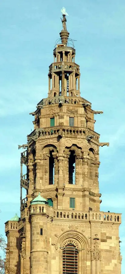
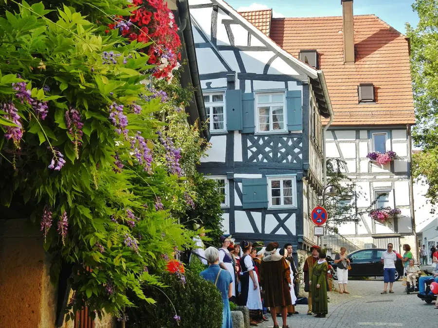
- Top sights: St. Maria · Evangelische Kirchengemeinde Strümpfelbrunn · Aussichtsturm Katzenbuckel
- Nearby: Eberbach (6 km)
Best time to visit & climate
The most pleasant time to visit is Jun–Aug.
| Jan | Feb | Mar | Apr | May | Jun | Jul | Aug | Sep | Oct | Nov | Dec | |
|---|---|---|---|---|---|---|---|---|---|---|---|---|
| Avg °C | 0 | 1 | 5 | 10 | 14 | 18 | 21 | 20 | 15 | 10 | 5 | 1 |
| Rain mm | 65 | 52 | 54 | 44 | 75 | 62 | 70 | 71 | 50 | 61 | 63 | 72 |
📋 Practical info
Geography
Facts
- Highest mountain in the Odenwald at 626 meters.
- Volcanic origin from the Eocene (53.5 million years ago).
- The observation tower was constructed in 1820.
- Quarrying operations only ceased in 1974.
- Occurrence of rare nephelinite volcanic rock.
- The Katzenbuckelsee lake formed in a former mining pit.
Explore nearby
Notable places around
Route planner — Car & Motorhome
Where do you start? We build the route here, with stops and country notes along the way.
© OpenStreetMap contributors · OpenRouteService
Sights in the town Katzenbuckel (9)
Freya-Quelle
The Freya Spring is the highest spring in the Odenwald, developed for water extraction.
Kneipp-Anlage
A Kneipp facility in the Mülben spa park.
Kur Park🌳 park
The spa park is a park in Waldbrunn, Germany.
Hirschberg
Hirschberg is a hill in Baden-Württemberg, Germany.
Jagdschloss Max-Wilhelmshöhe🏰 castle
Jagdschloss Max-Wilhelmshöhe is a hunting lodge in northern Baden-Württemberg.
Sights nearby
Frequently asked questions
What is the highest point in the Odenwald?
Is the Katzenbuckel a volcano?
Is there an observation tower there?
Can you go hiking there?
Where can you park?
Katzenbuckel: where is it located?
Katzenbuckel: what is there to see?
Katzenbuckel: when is the best time to visit?
Katzenbuckel: why is it worth visiting?

Nearby cities