Plizio Visual Lab
Haiterbach
ℹ️Practical info — Haiterbach
▾
🌤 Weather — 5 days
📍 Nearby
Sights nearby
💡 Tips
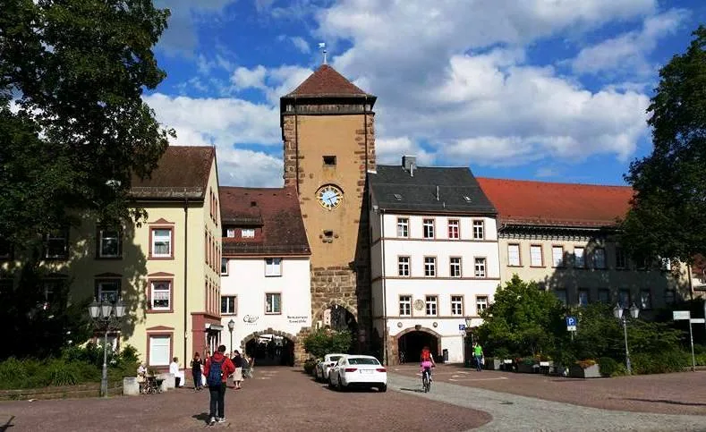
- Visit the tower of the Laurentiuskirche, which dates back to 1150.
- Explore the local nature trail for a relaxing walk in the greenery.
- Check out events at Kulturhaus Ochsen, the social heart of the town.
- Visit the rural districts to experience authentic Black Forest charm.
- Use the Nagold Valley cycle paths for tours of the surrounding area.
🍽 Food
Gives a blend of German and Romanian cuisine in a cozy setting.
Often the hub for local gatherings and food during events.
Look for direct sellers for fresh milk, eggs, and local cheeses.
🛍 Shopping · 🧘 Quiet spots
Demeter-certified farm shop with fresh organic produce from their own farm.
A district with small producers selling Black Forest ham and honey.
A peaceful loop trail through the local flora and fauna.
The interior of this historic church gives a very quiet atmosphere.
Water temperature…
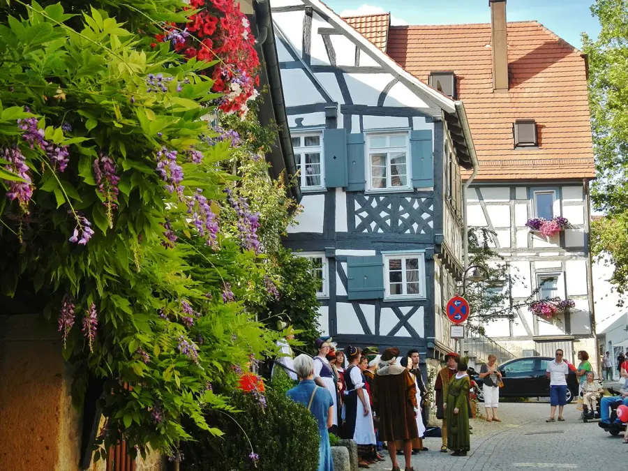
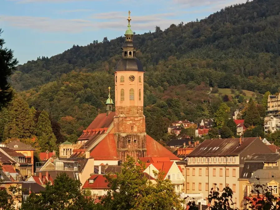
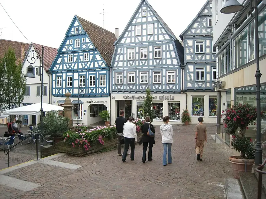
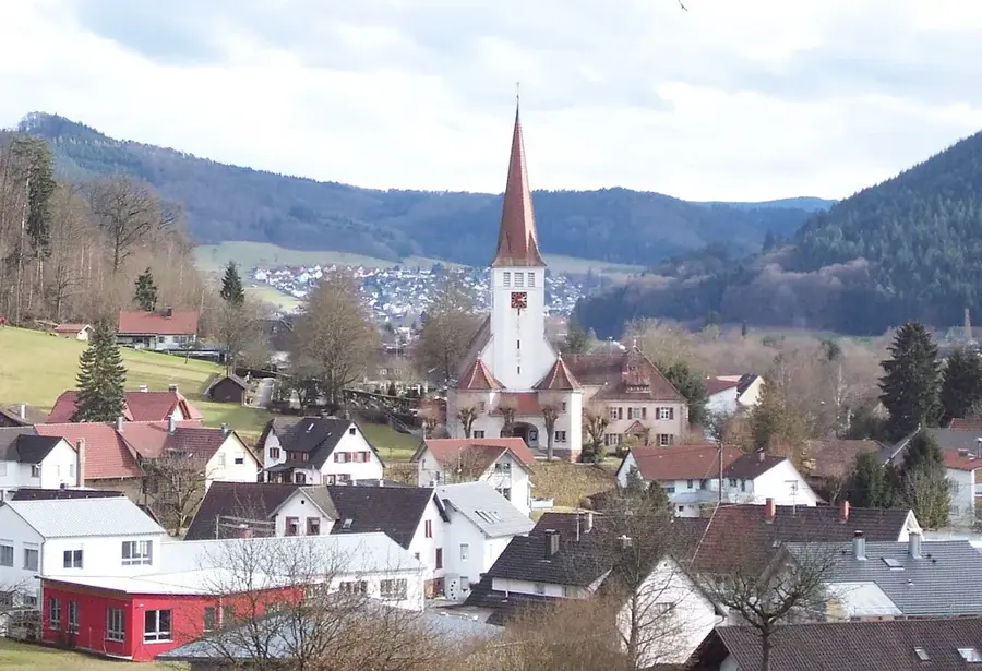
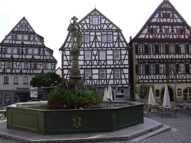
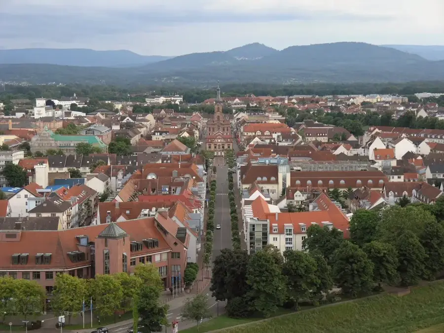
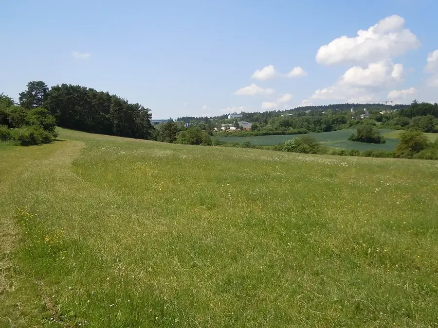
Haiterbach is situated in a scenic location at the transition between the Hecken- and Schlehengäu regions and the foothills of the Black Forest. Its first documented mention dates back to 1099, evidencing the region's long settlement tradition. Over the centuries, the town evolved from a farming-oriented community into a modern industrial site without losing its nature-oriented character. Particularly worth seeing are the historic St. Lawrence Church and the old town center with its half-timbered houses. Economically, Haiterbach is now home to several globally active medium-sized companies, especially in logistics and metal processing. For those seeking recreation, the surrounding area features numerous hiking trails through forests and across meadow orchards, which are typical of this Baden-Württemberg cultural landscape.
- Location: Baden-Württemberg, Germany
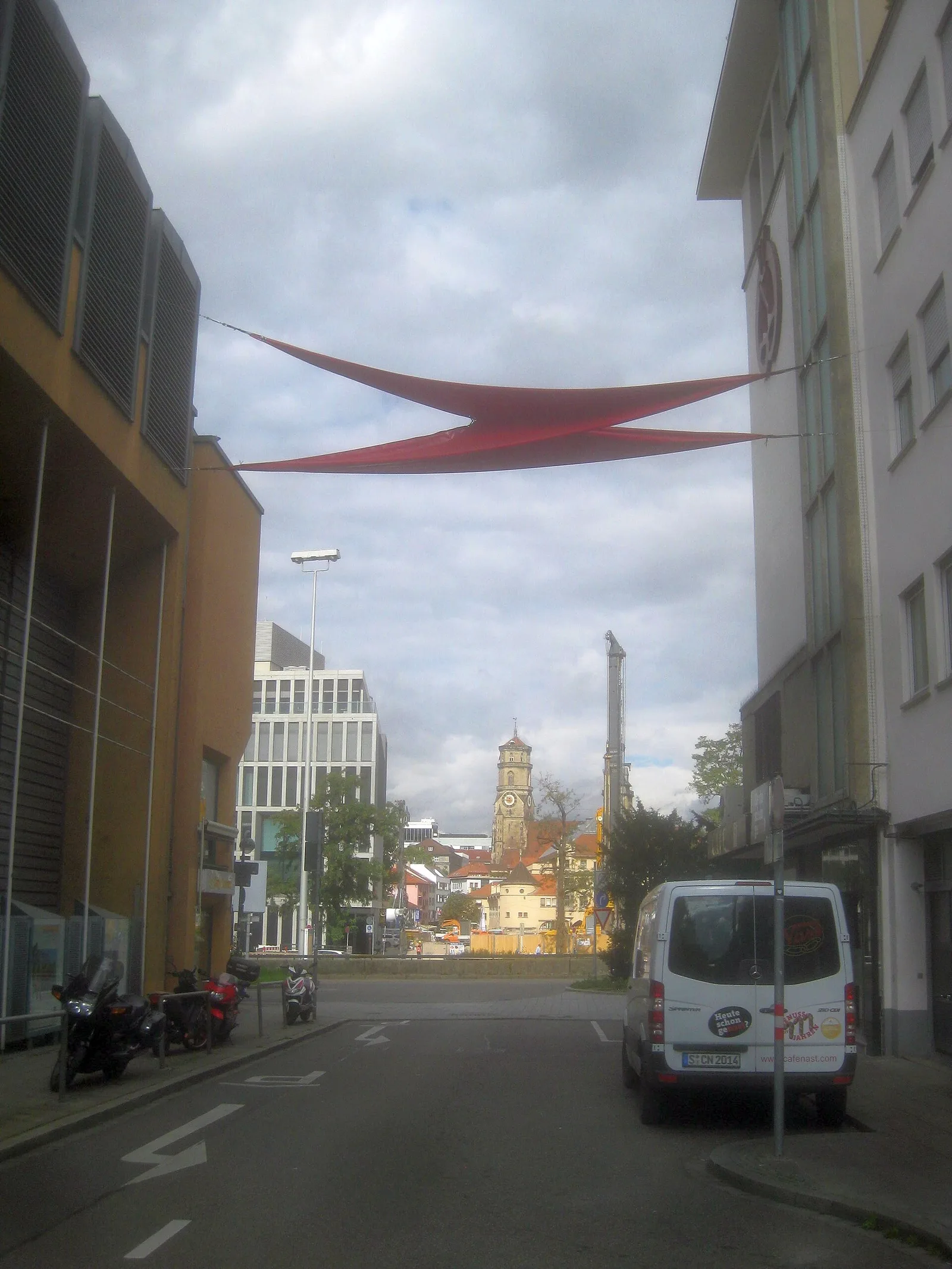
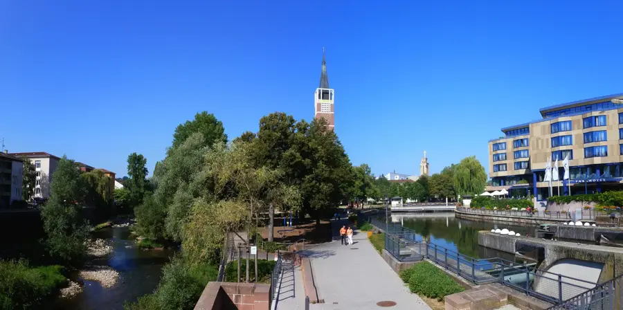
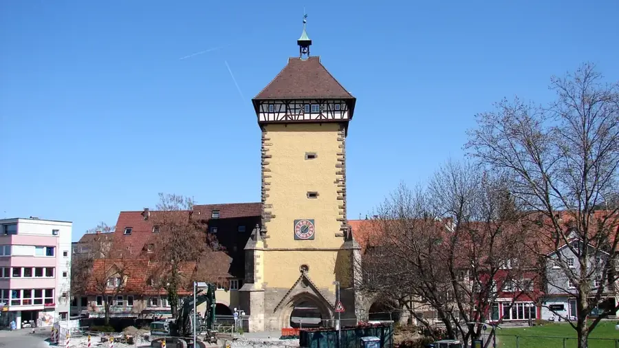
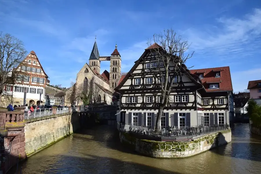
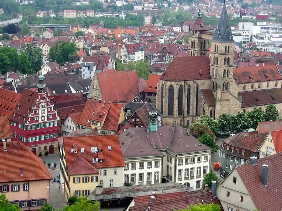
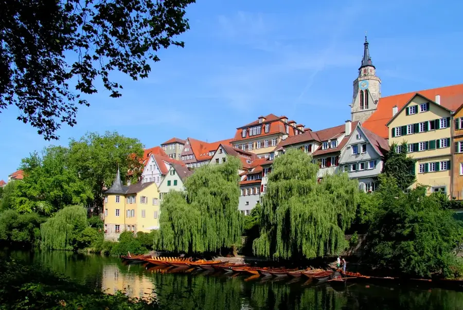
- Top sights: Schützenturm Tower · Local History Museum · Nagold Valley
- Nearby: Nagold (6 km)
- Population: ~6.029
Best time to visit & climate
The most pleasant time to visit is Jun–Aug.
| Jan | Feb | Mar | Apr | May | Jun | Jul | Aug | Sep | Oct | Nov | Dec | |
|---|---|---|---|---|---|---|---|---|---|---|---|---|
| Avg °C | -1 | 0 | 4 | 8 | 13 | 17 | 18 | 18 | 14 | 9 | 4 | 0 |
| Rain mm | 80 | 61 | 68 | 59 | 100 | 87 | 96 | 92 | 66 | 77 | 72 | 85 |
Geography
Facts
- Haiterbach was granted city rights in 1349.
- Municipal land area: 28.92 km².
- Highest point is at approximately 600 meters elevation.
- Includes Haiterbach, Beihingen, Oberschwandorf, and Unterschwandorf.
- Population is steady at just over 6,000.
- Located on the Nagold-Haiterbach development axis.
Explore nearby
Notable places around
Route planner — Car & Motorhome
Where do you start? We build the route here, with stops and country notes along the way.
© OpenStreetMap contributors · OpenRouteService
Sights in the town Haiterbach (5)
Frequently asked questions
How to reach Haiterbach from Stuttgart?
Are there historical sights in the city?
What outdoor activities are offered?
What is a local specialty in Haiterbach?
Is Haiterbach suitable for a family holiday?
Haiterbach: where is it located?
Haiterbach: what is there to see?
Haiterbach: when is the best time to visit?
Haiterbach: why is it worth visiting?

Nearby cities