Plizio Visual Lab
Black Forest High Road
Weather…
Water temperature…
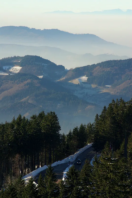
The Black Forest High Road (Schwarzwaldhochstraße) is Germany's oldest and most famous tourist route, extending 60 kilometers along the ridge of the northern Black Forest. It runs at elevations between 800 and over 1,000 meters from Baden-Baden to Freudenstadt. The road was primarily developed in the 1930s for strategic and touristic purposes, though sections had existed since 1907. Geologically, the route follows the main Bunter sandstone ridge, which drops steeply toward the Rhine Valley and tapers more gently to the east. Striking points along the way include the Mummelsee, an ice-age cirque lake, and the summit of the Hornisgrinde, the highest peak in the northern Black Forest. The high road provides spectacular views across the Rhine Plain to the Vosges Mountains in Alsace. Today, it is a core component of the Black Forest National Park and serves as an access route to numerous hiking trails and ski resorts.
- Location: Baden-Württemberg, Germany
- Top sights: Gottschlägtal - Karlsruher Grat · Wilder See - Hornisgrinde · Nationalparkzentrum
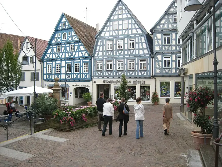
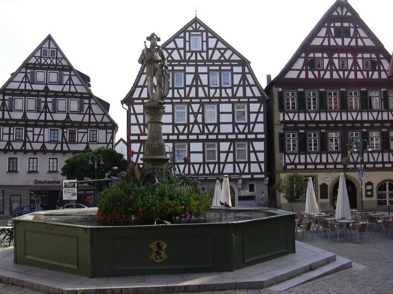
- Nearby: Oberkirch (12 km)
Best time to visit & climate
The most pleasant time to visit is Jun–Aug.
| Jan | Feb | Mar | Apr | May | Jun | Jul | Aug | Sep | Oct | Nov | Dec | |
|---|---|---|---|---|---|---|---|---|---|---|---|---|
| Avg °C | 0 | 1 | 5 | 9 | 13 | 17 | 19 | 19 | 14 | 10 | 5 | 1 |
| Rain mm | 84 | 63 | 70 | 58 | 99 | 83 | 92 | 89 | 65 | 81 | 74 | 91 |
📋 Practical info
Geography
Facts
- The length of the scenic road is exactly 60 kilometers.
- Highest point is the Hornisgrinde at 1,164 meters.
- Officially inaugurated under its current name in 1932.
- The Mummelsee is located at 1,036 meters right on the route.
- The road is a section of the Federal Highway B 500.
- Average driving time without stops is approximately 1 hour.
Explore nearby
Notable places around
Route planner — Car & Motorhome
Where do you start? We build the route here, with stops and country notes along the way.
© OpenStreetMap contributors · OpenRouteService
Sights in the town Black Forest High Road (7)
Sights nearby
Frequently asked questions
Where does the Black Forest High Road start and end?
What is the Mummelsee?
Can the route be driven in winter?
What is the highest point along the high road?
Are there viewpoints for photos?
Black Forest High Road: where is it located?
Black Forest High Road: what is there to see?
Black Forest High Road: when is the best time to visit?
Black Forest High Road: why is it worth visiting?

Nearby cities